The Misadventures of Glacier Peak (Cool Glacier July 2023 Trip Report)
Climbing Washington's most remote volcano.
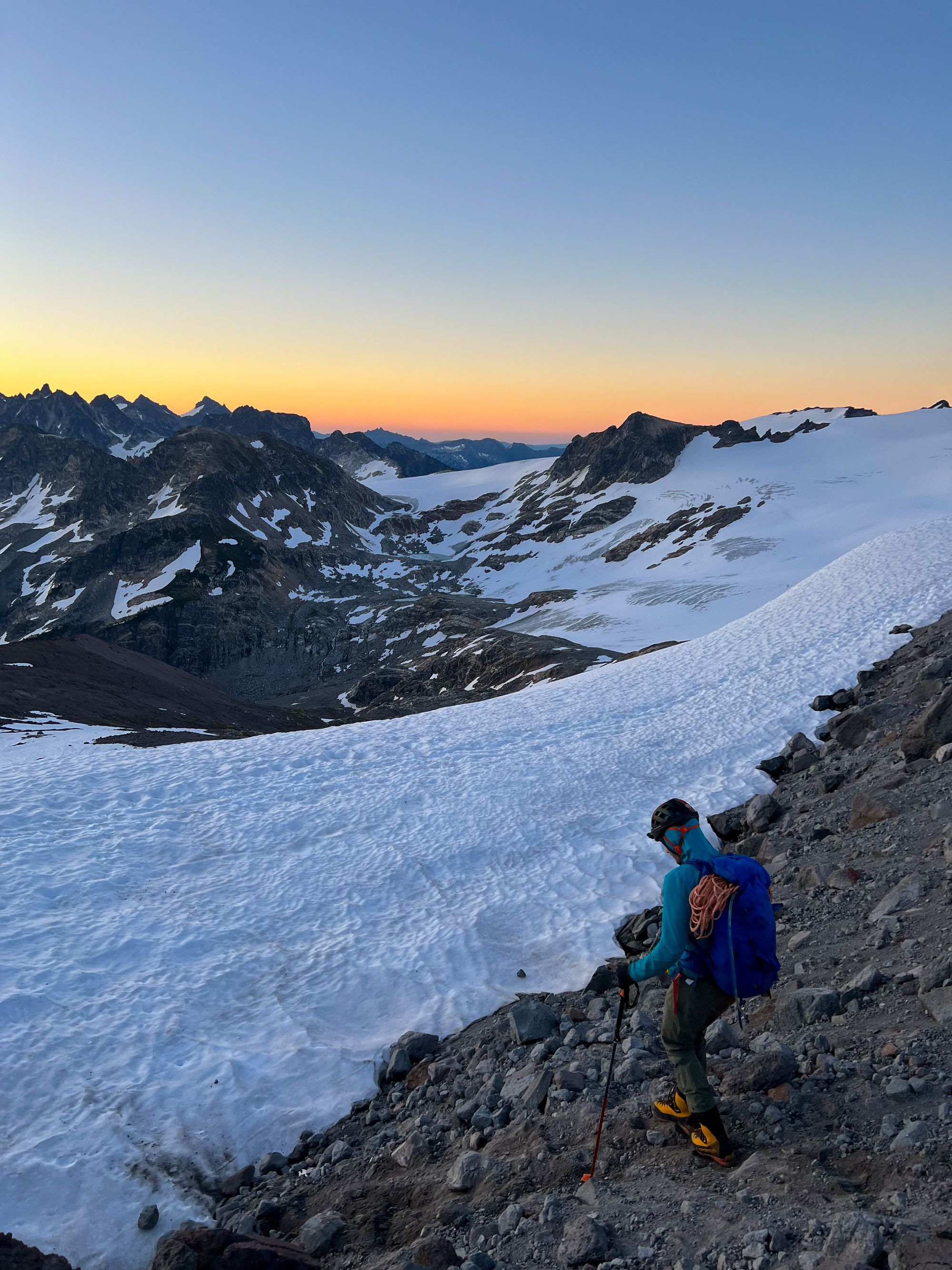
Friday 7/14 to Sunday 7/16/2023
Trip Stats: 36 miles and ~11,000+ ft elevation gain
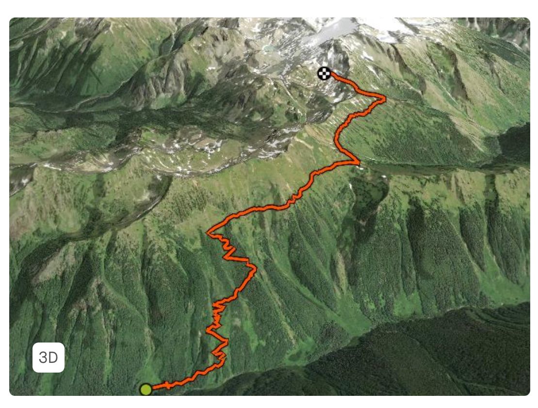
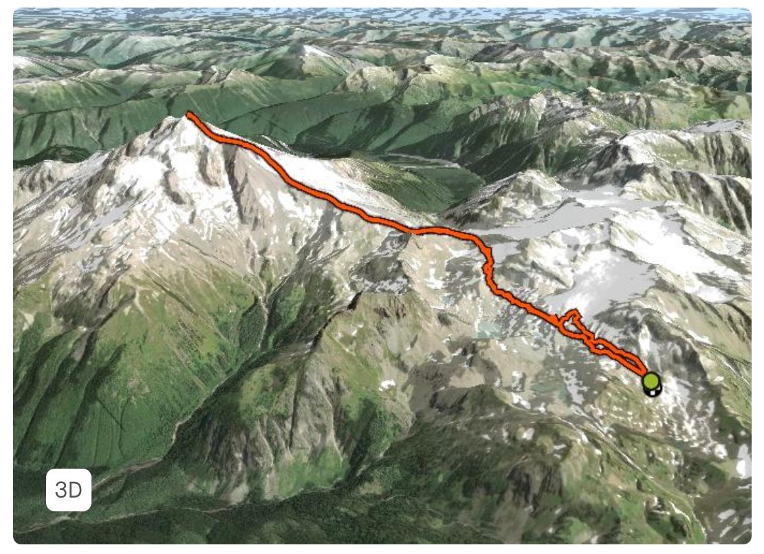
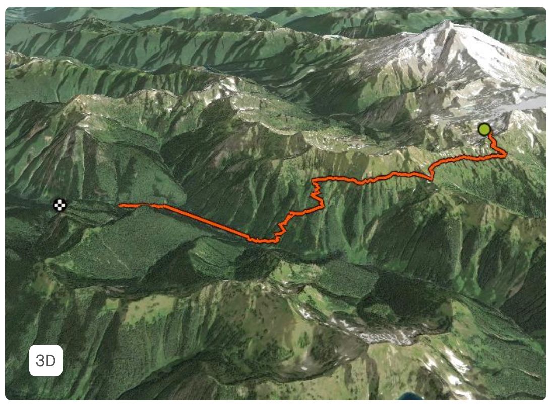


Route Description
2003 floods destroyed White Chuck River Road and the White Chuck River Trail. This means Mountain Loop Highway is no longer truly a loop and that the Cool Glacier/Gerdine Ridge has become the standard route.
From Darrington, take Mountain "Loop" Highway. Drive for just less than 20 miles, then turn left onto Forest Road 49. Take care to ensure you drive the correct half of the Mountain Loop Highway. The road is no longer continuous due to a washout (between Barlow Pass and Bedal), and driving the wrong way up the road is a really inconvenient mistake (ask me how I know). It’s very difficult to find information about this washout online. From FS-49, drive just over 6.5 miles to reach North Fork Sauk Trailhead (1,850 ft).
The trip begins on North Fork Sauk Trail No. 649. Follow this trail for 5 miles to the Mackinaw Shelter (3,000 ft). From here, a steep climb (too many switchbacks to count) begins. Four miles later, the misery is (mostly) over when you join the beautifully graded Pacific Crest Trail west of White Pass (6,000 ft). The views are gorgeous here, and make up for the fact that you just climbed 3,000 feet in the direct sun. White Pass is a popular campsite for PCT hikers and climbers alike.
From White Pass, it's time to leave the PCT for Glacier Peak's skinny but well-loved boot path. Traverse east until eventually crossing to the north side of the ridge, somewhere nearby Point 6770 feet. There are many campsites in the White Chuck Basin, where White Chuck Glacier has greatly receded.
Traverse White Chuck Glacier towards Glacier Gap (7,500 ft). This makes another great campsite if you have the time/energy to make it here. Cross the edge of the Suiattle Glacier, and climb up the Gerdine Ridge. Just before Disappointment Peak, the ridge will become looser and it's time to find an easy way to drop down onto the Suiattle Glacier.
Skirt below Disappointment Peak and its subpeak. Move quickly through this zone; rockfall is a hazard here. Head towards the saddle to the right of Disappointment Peak's subpeak. Climb through the "icefall" zone where the Suiattle and Cool Glaciers meet and the terrain is frequently broken up.
The crevasses tend to be bigger up here on the Cool Glacier, but navigation is straightforward besides that. Head straight up (northwest) the Cool Glacier. Eventually reach the final loose rock/dirt ridge that guards the summit. The terrain is unpleasant and slow, but not very exposed/scary.
To return, descend the climbing route.
Kololo Peak (8,200 ft) is a possible add-on, located southeast from Glacier Gap.
Typical trip timelines range from 1-4 days.
Trip Report
Paul and I left Seattle early Friday morning. And good thing we did! Because Google Maps routed us the wrong way down Mountain Loop Highway, which has been crossed midway due to a washout for twenty years. This mistake added two hours to our commute and turned a ~2.5 hour drive into a ~4.5 hour one. Our spirits were still relatively high, because sometimes in mountaineering, things don't go as planned and it just is what it is! Several other teams made this mistake as well.
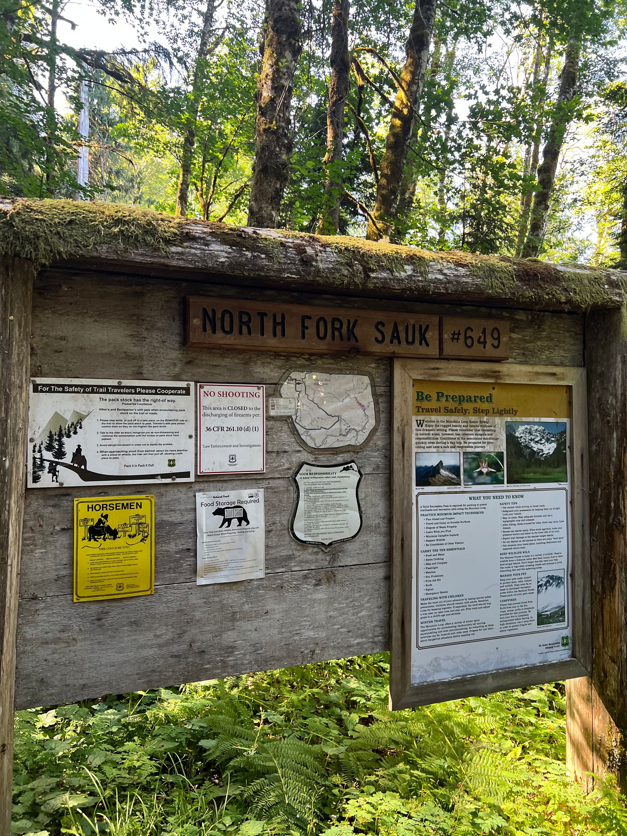
We finally started hiking just after 10am, already hours behind schedule but not too worried about it. North Fork Sauk Trail No. 649 should, in theory be a well-graded, gentle climb. With three days of supplies and mountaineering gear on my back, and my period just beginning, this climb felt anything but gentle.
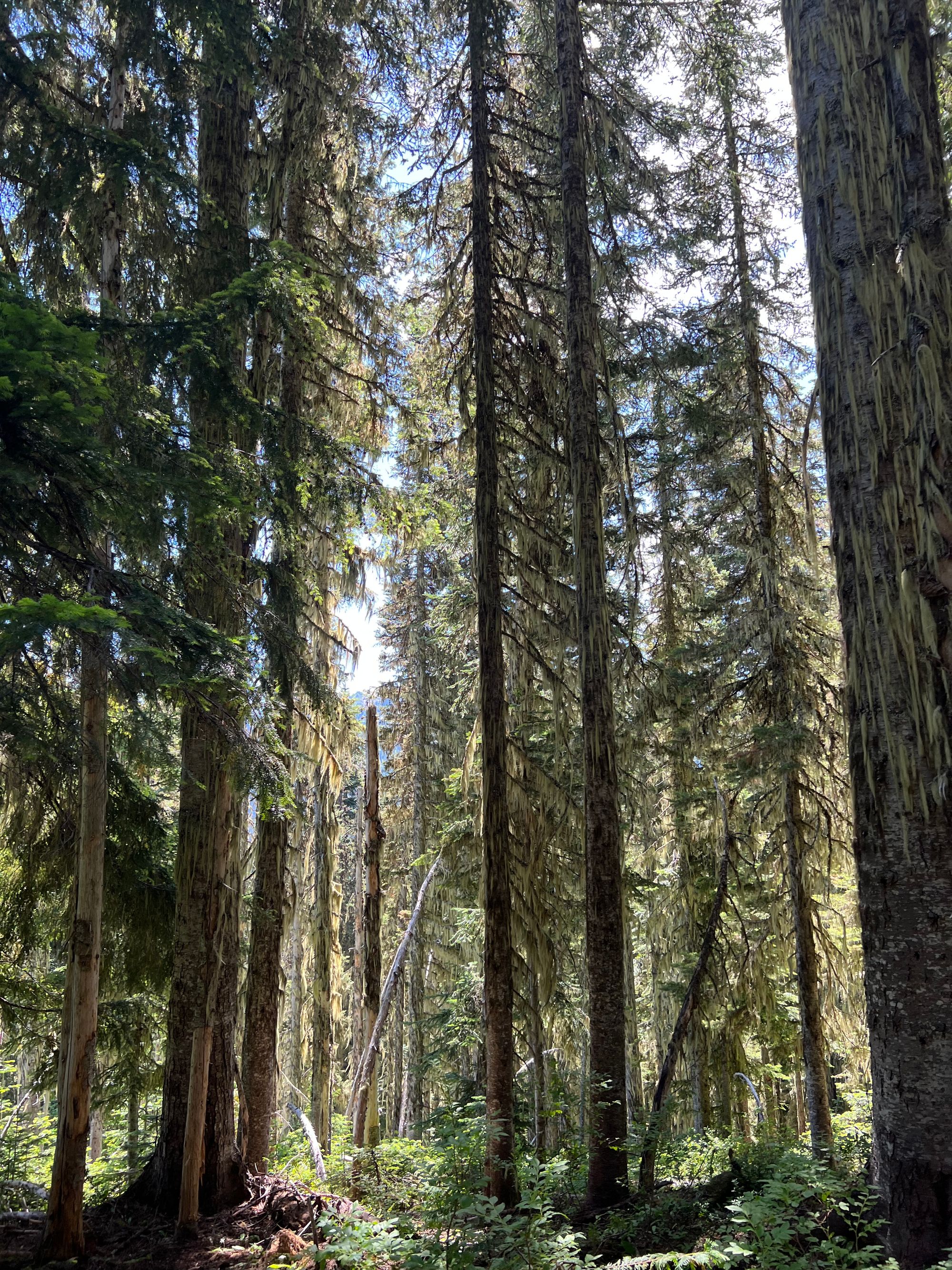
My legs feeling heavy as lead on the "easy" part of the climb unnerved me, but we kept a steady pace and the miles ticked away regardless. Before long, we were at Mackinaw Shelter, five miles in. We stopped to take a break and met some fellow mountaineers on their way out.
We asked about trail conditions and they pranked us, telling a dramatic story about one of them falling into a big crevasse. Their real report was that the route was in good shape!
There was a trip report last week where someone actually fell deep into a crevasse, and another report declared the ice fall section "impassable". It was relieving to hear that this section was doable after all! But with the recent crevasse fall, I was still a bit on edge for our first trip as a two-person glacier rope team.
In the event of a fall, both of us would have to be fully capable of single-handedly arresting the fall, building an anchor while holding the fall, and hauling the other out. We practiced a lot before the trip... and hoped to not have to use those skills!
After the shelter, it was time for the infamous switchbacks. Unfortunately, since we got such a late start, the trail was fully exposed in the sun and it was hot-hot-HOT!
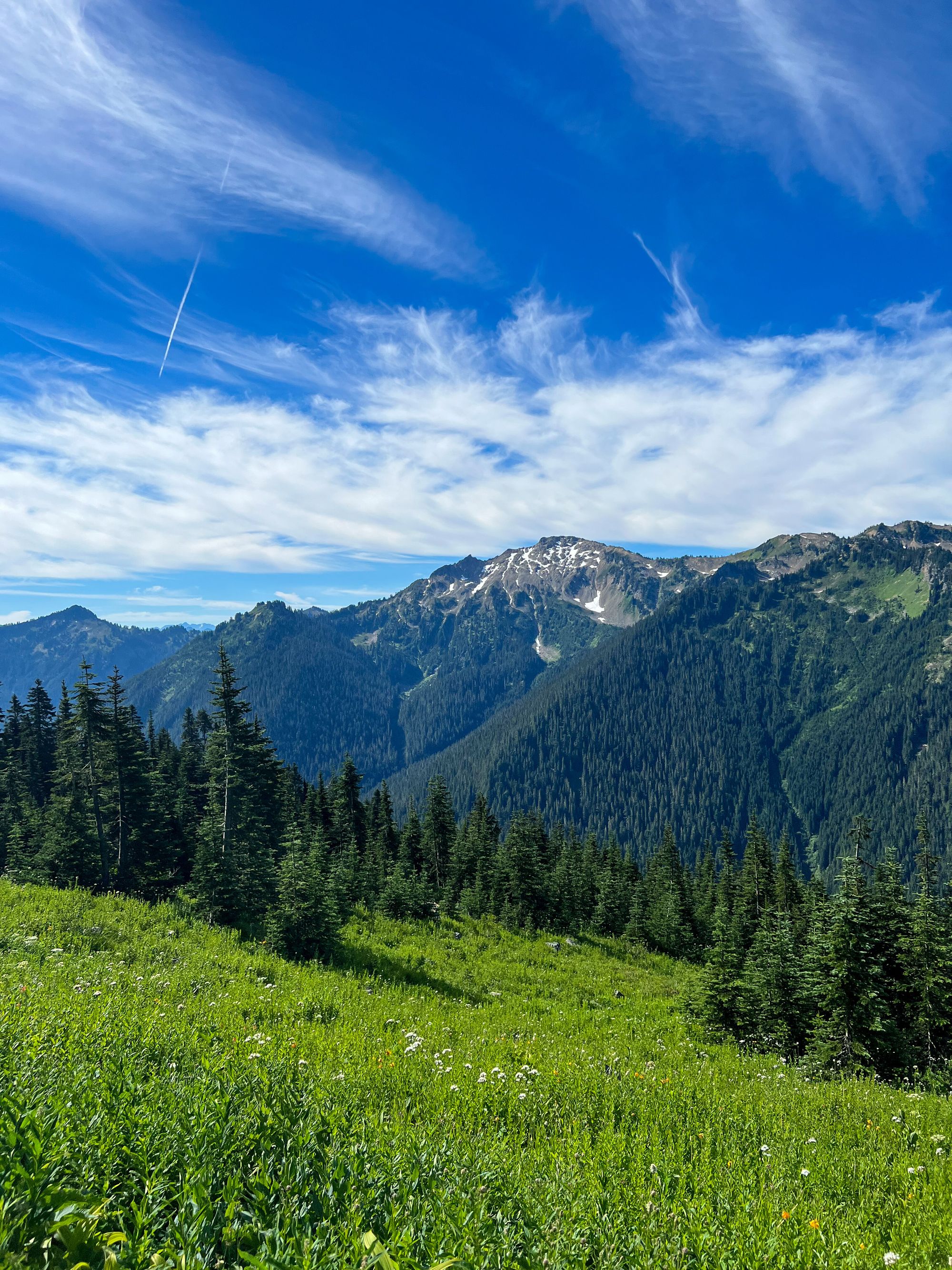
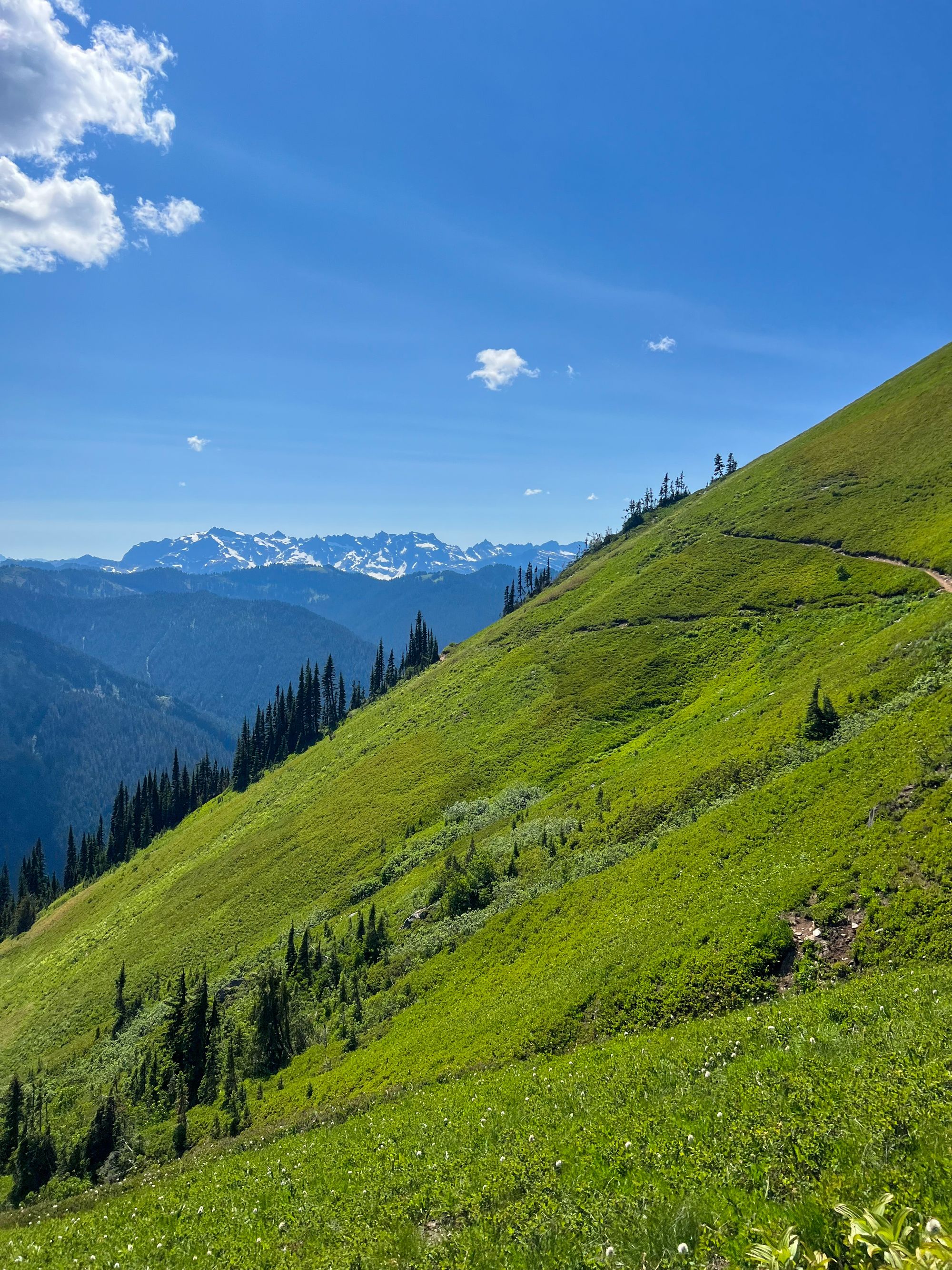
After the brutal switchbacks, we joined the glorious (read: moderately-graded) PCT. The views were absolutely astounding. It felt like popping out into the middle of a fairytale book: wildflowers blooming, marmots squeaking, sun shining, glaciers sparkling. But after one too many horsefly bites, and watching the bugs fly right past Paul to swarm me instead, I was beginning to wonder if this might be a Grimm’s fairytale.

Our time on the PCT was brief and we soon arrived at White Pass. We took a lunch break in the shade and chatted with a solo climber who was planning to attempt the scramble route. We later saw him on the glacier, because he decided that soloing the glacier seemed favorable over the infamously sketchy Disappointment Peak scramble. None of the scramble teams we met were successful.
From White Pass, it was time to leave the PCT for Glacier Peak's boot path.
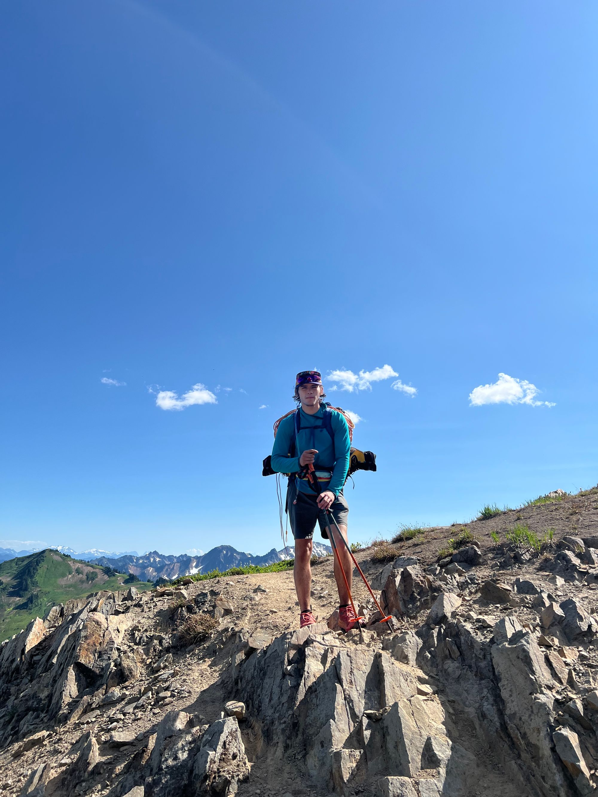

Not long after joining the boot path, I noticed the Airplane Lake Fire. I hadn’t known about this fire (it was new), so the potential fire/smoke spread gave me something new and different to be anxious about. Paul was not worried but I could worry for two.
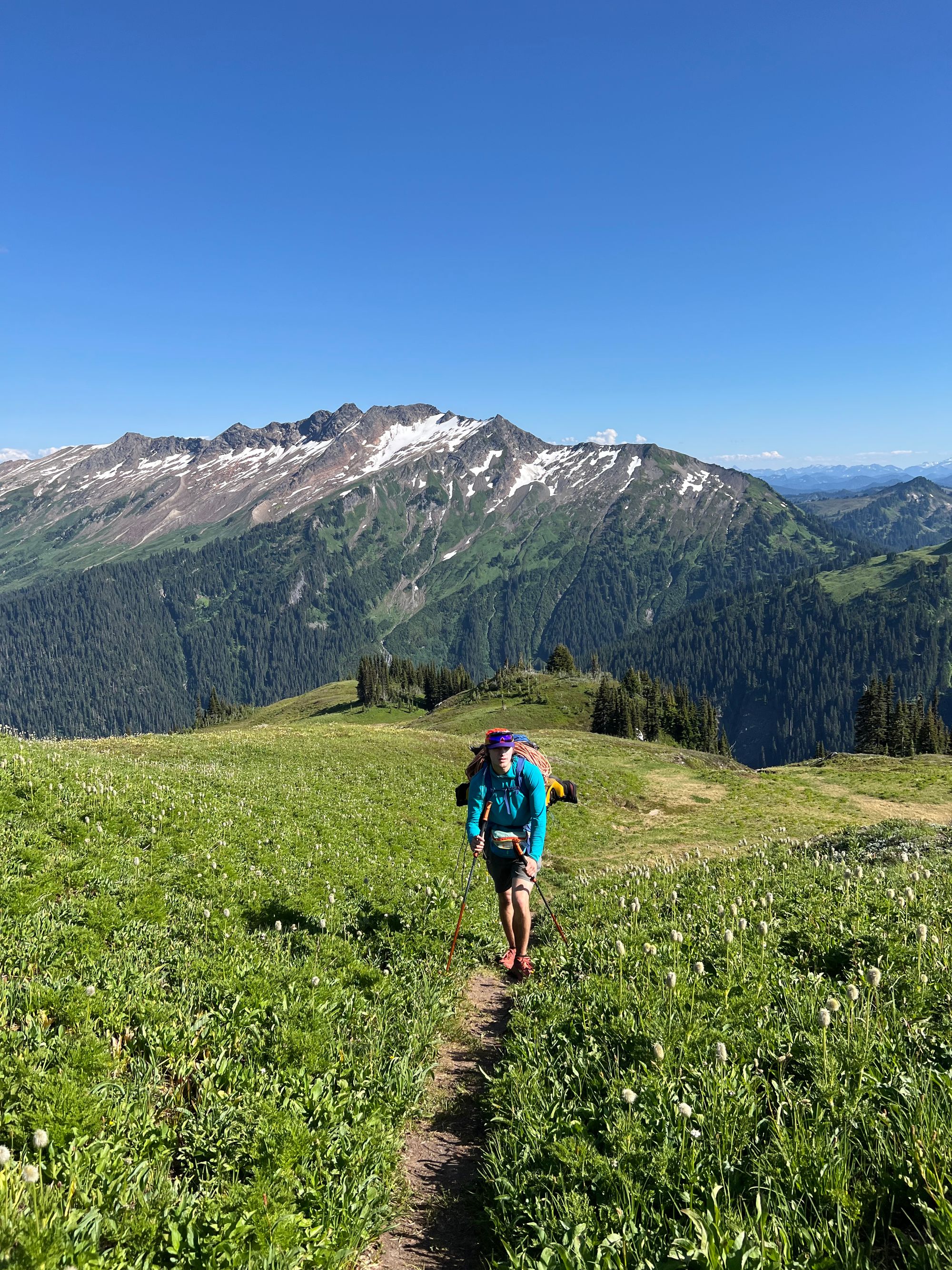
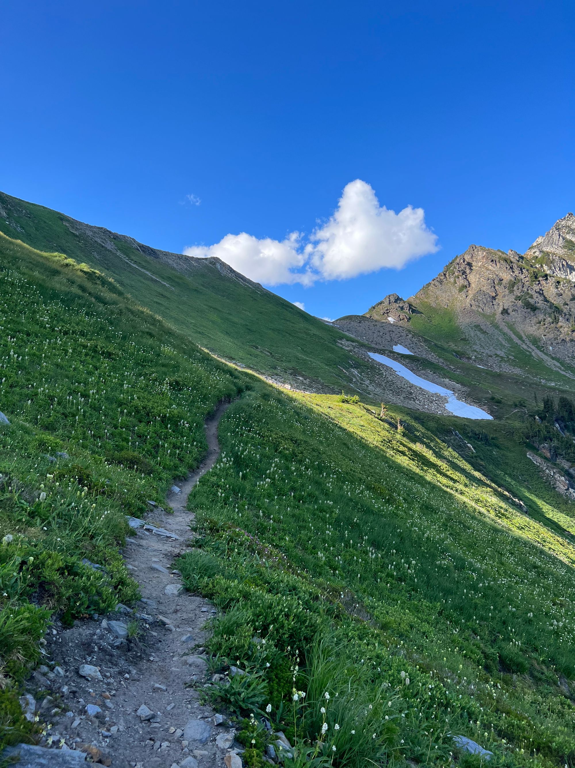
One of these points is appropriately named Marmot Knob. There were sooo many marmots over here! They would dart out of burrows and zip right across the trail, nearly tripping us.
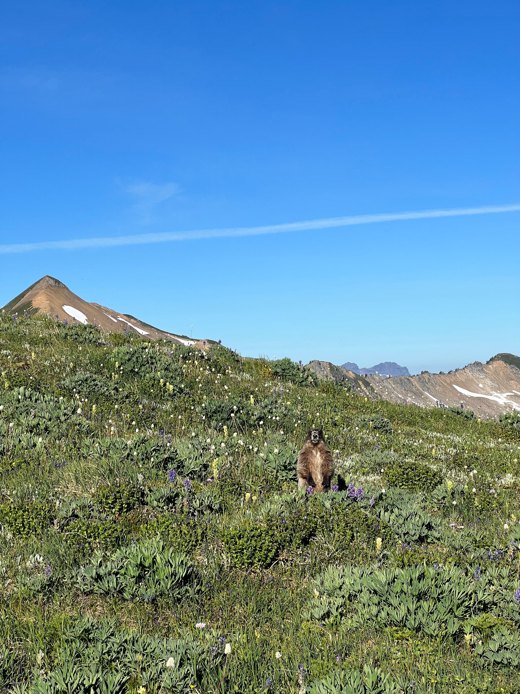
Thankfully, when we crossed the ridge near Point 6770 feet, we could no longer see the smoke at all.
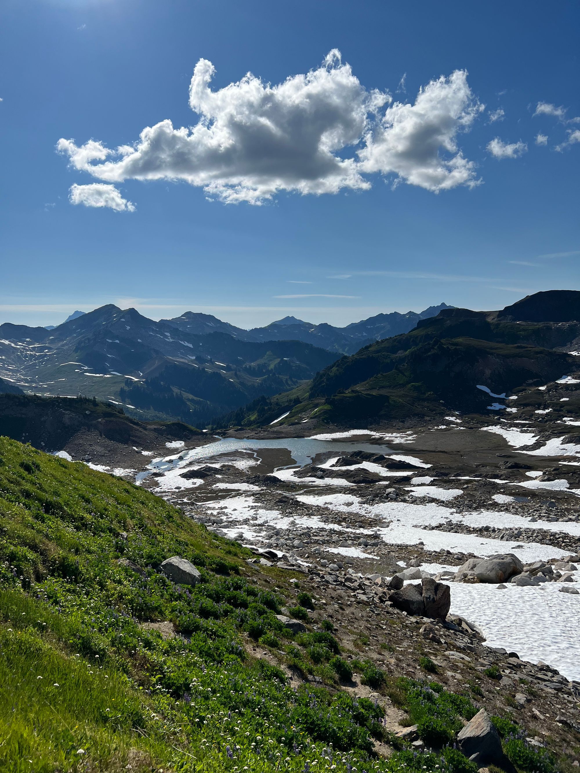
Dropping down into the basin, we quickly found a suitable site and began to set up camp. It was now 6pm and we needed to do our camp chores, eat dinner, and get to bed for our alpine start. We were originally planning to camp at Glacier Gap but ran out of time.
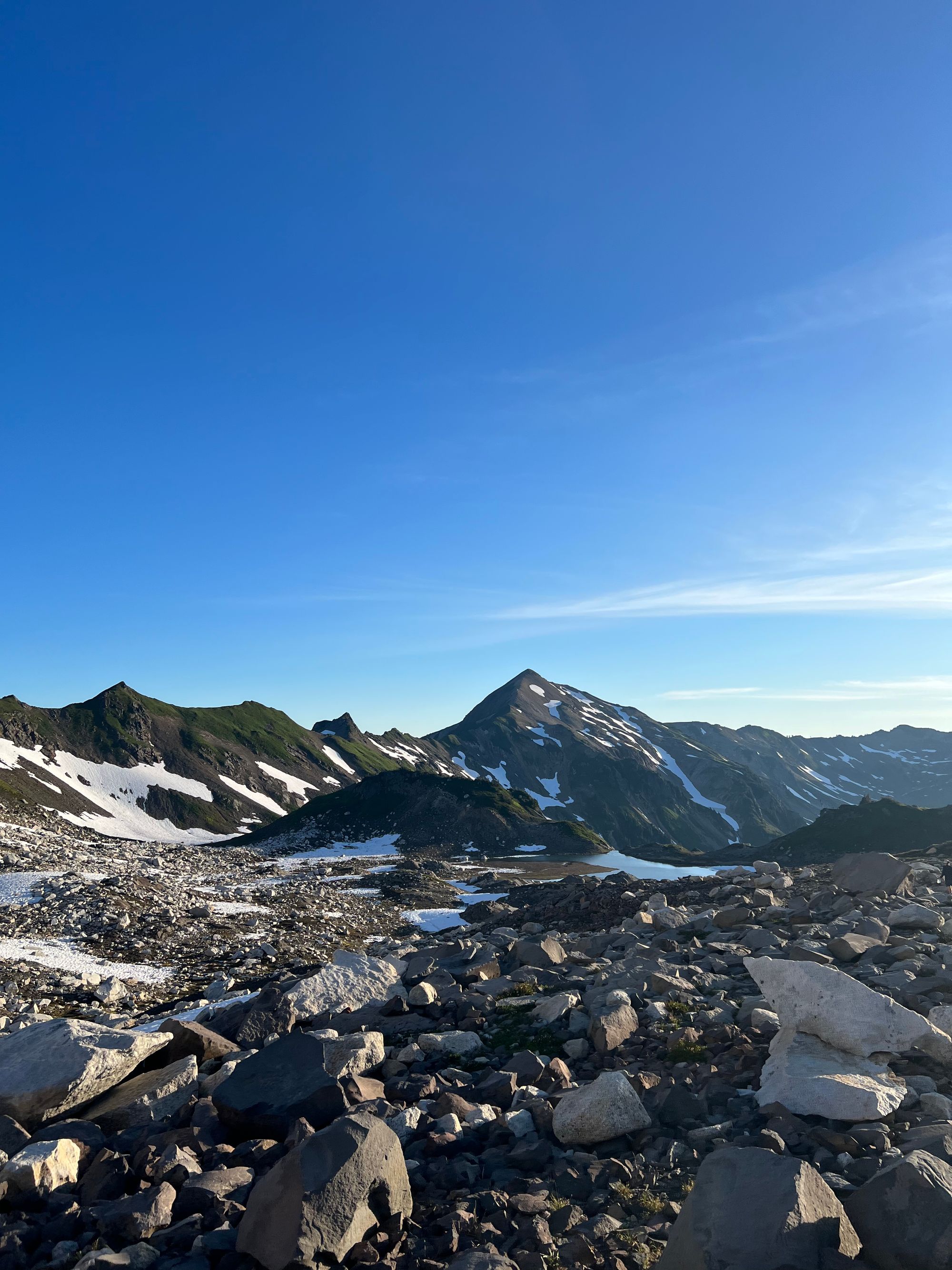
We set up our rope and packed our bags for summit day. We were in bed by 8:30ish, planning to wake up at midnight to be hiking by 1am. Since we were a two person team, we planned a conservative approach; we wanted to climb early while the snow bridges were more stable.
The misadventures continued early that morning. Navigating in the basin towards Glacier Gap was confusing. I’m usually a strong navigator but was not feeling well; Paul was mostly on his own with route finding for the first couple hours. The entire basin is full of loose rock so it’s difficult to see paths or cairns in the dark. Once again, we were behind schedule.
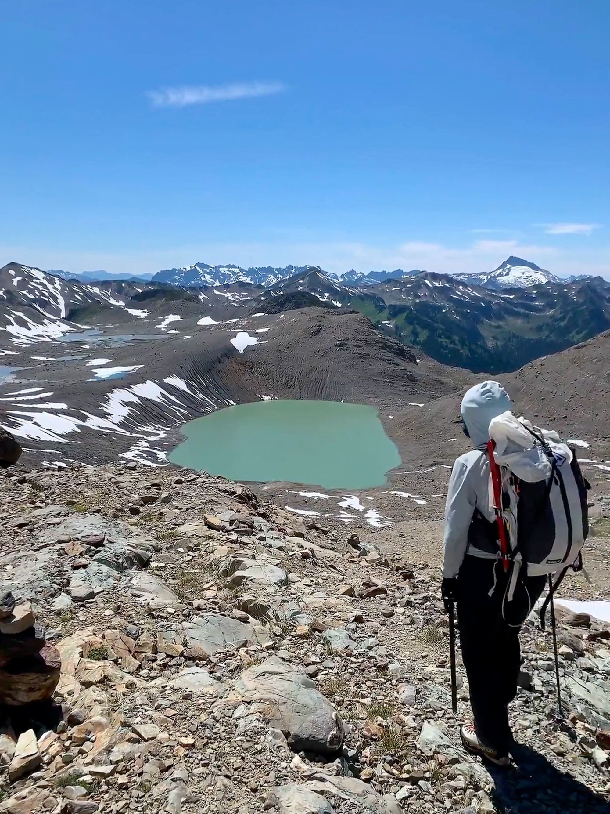
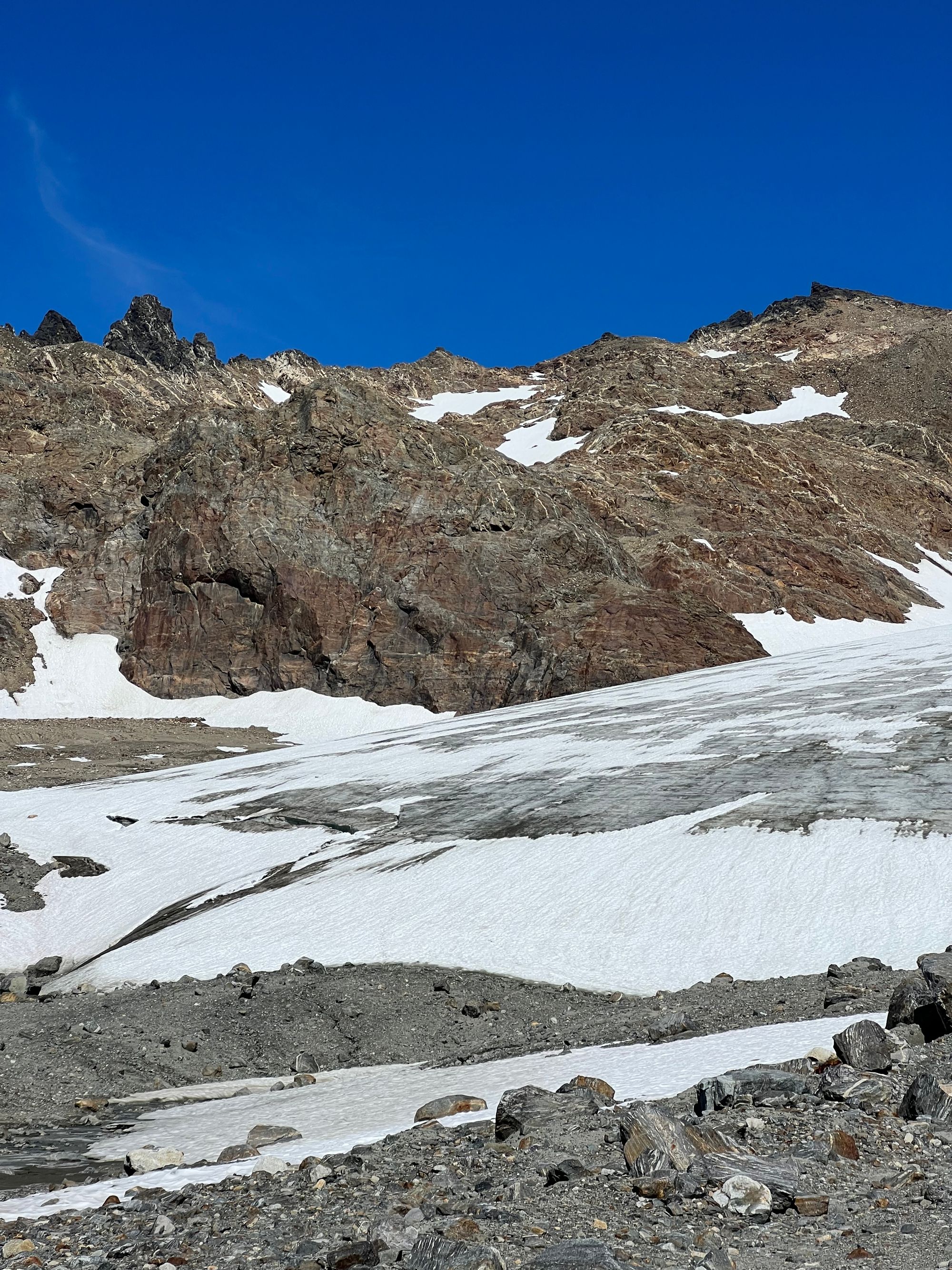
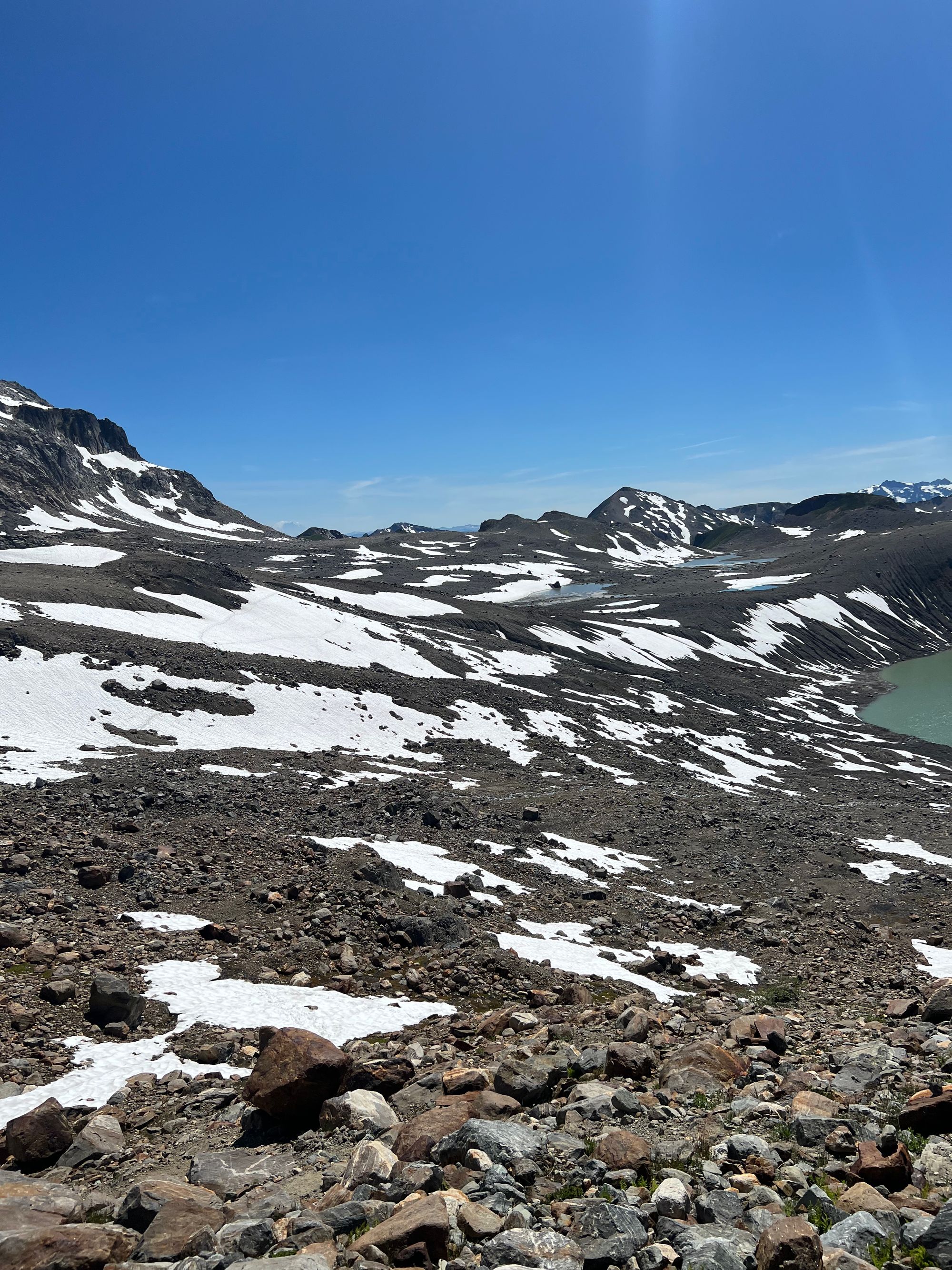
After spending a bit too long wandering around the basin, scrambling up and down loose volcanic rock, and briefly ending up on the edge of White Chuck Glacier— we finally reached Glacier Gap around 4:20am.

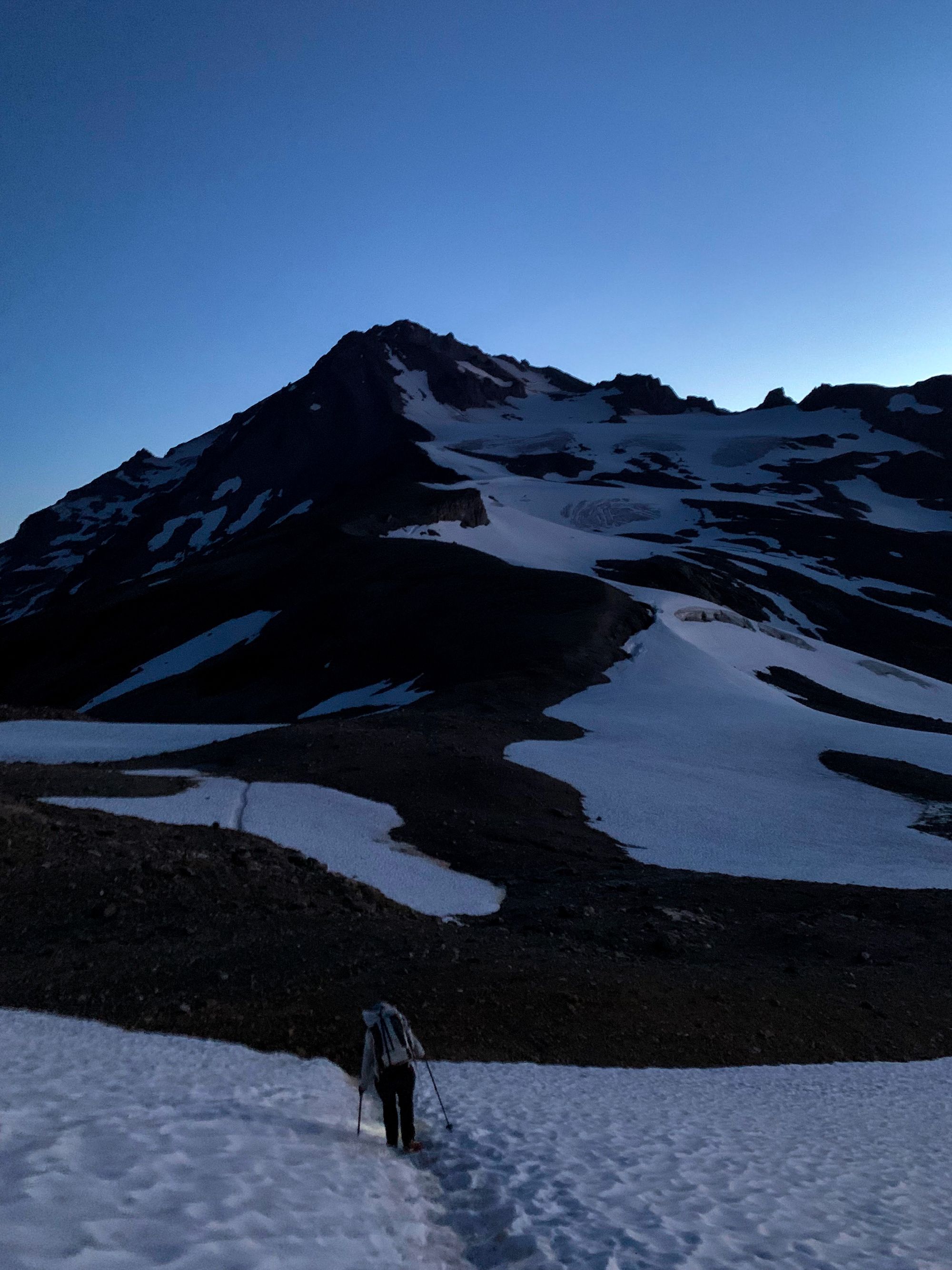
I resumed navigating as we made our way up the ridge to the edge of the glacier. Before Disappointment Peak, the ridge became looser and it was time to find a way to drop down onto Suiattle Glacier. We found a path, but took a ~45 minute break on the ridge because my cramps worsened and I felt nauseous. Stomach bugs aside, this was probably the worst I had ever felt on a trip. Already behind schedule, I wasn't sure if going for the summit was the best idea. Eventually, I just decided that if I was going to suffer this day regardless then I might as well suffer on top of Glacier Peak.
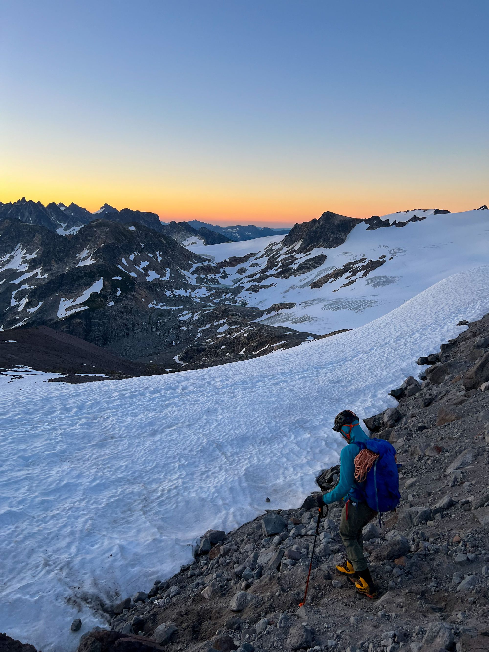
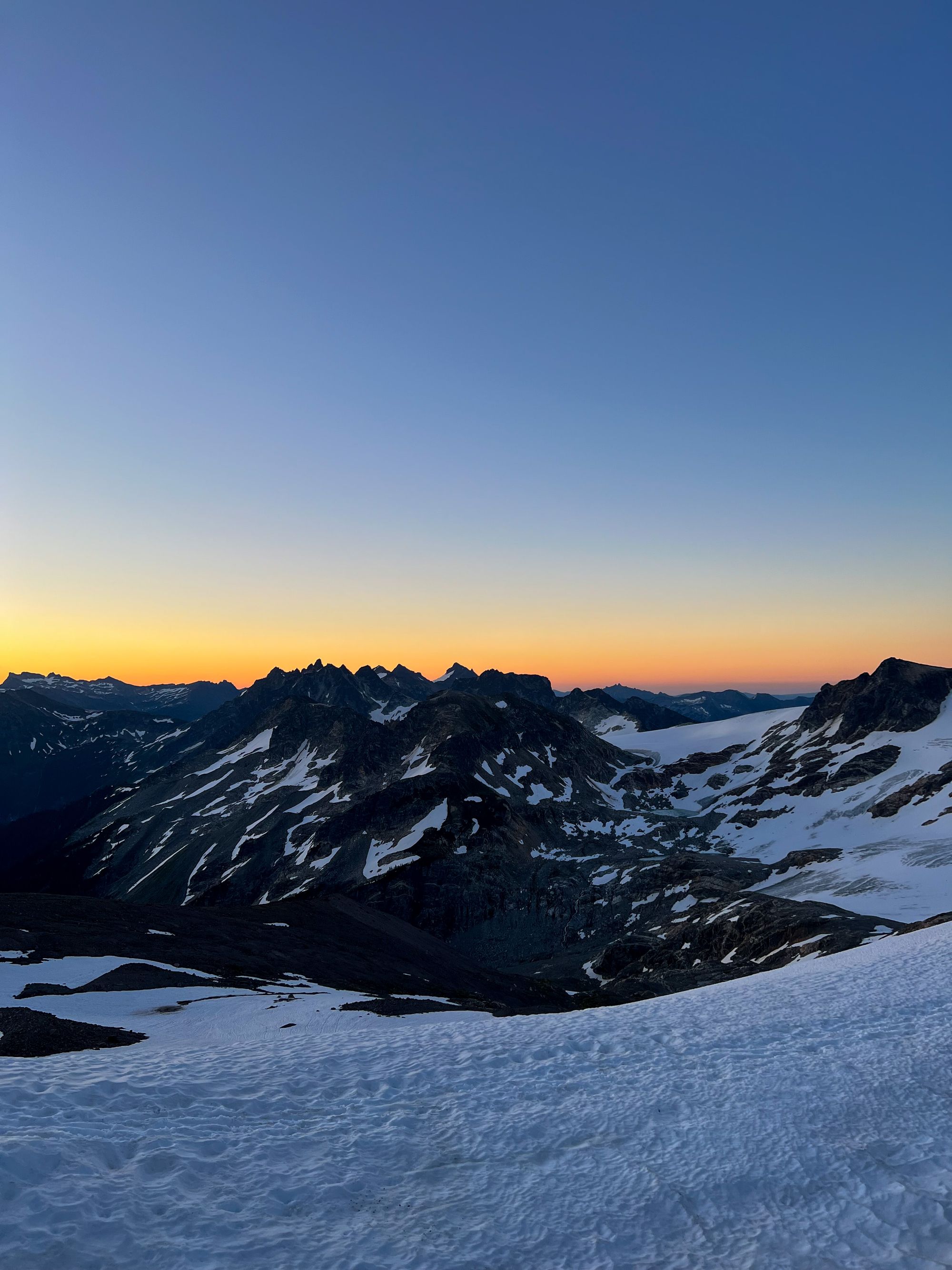
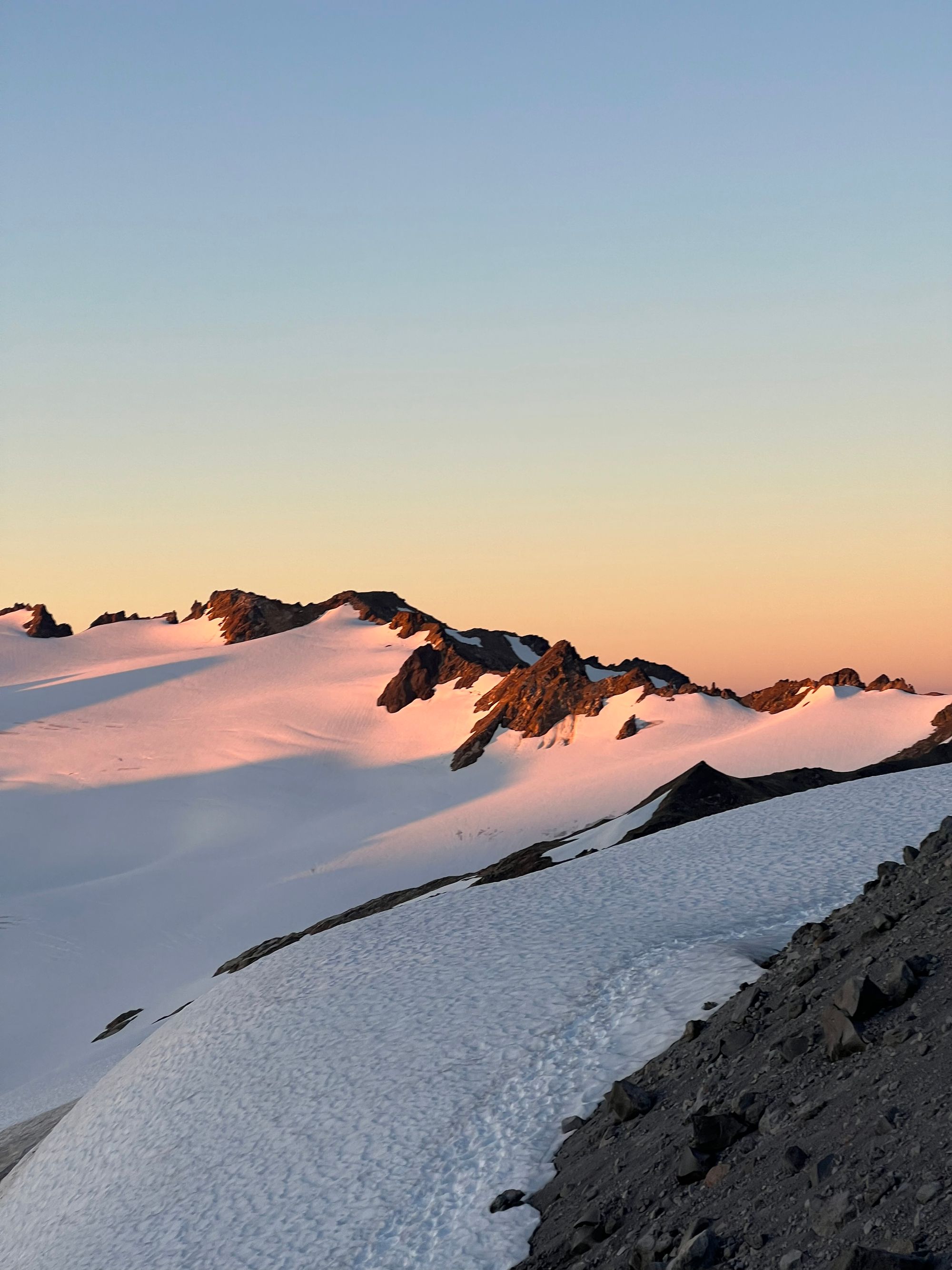
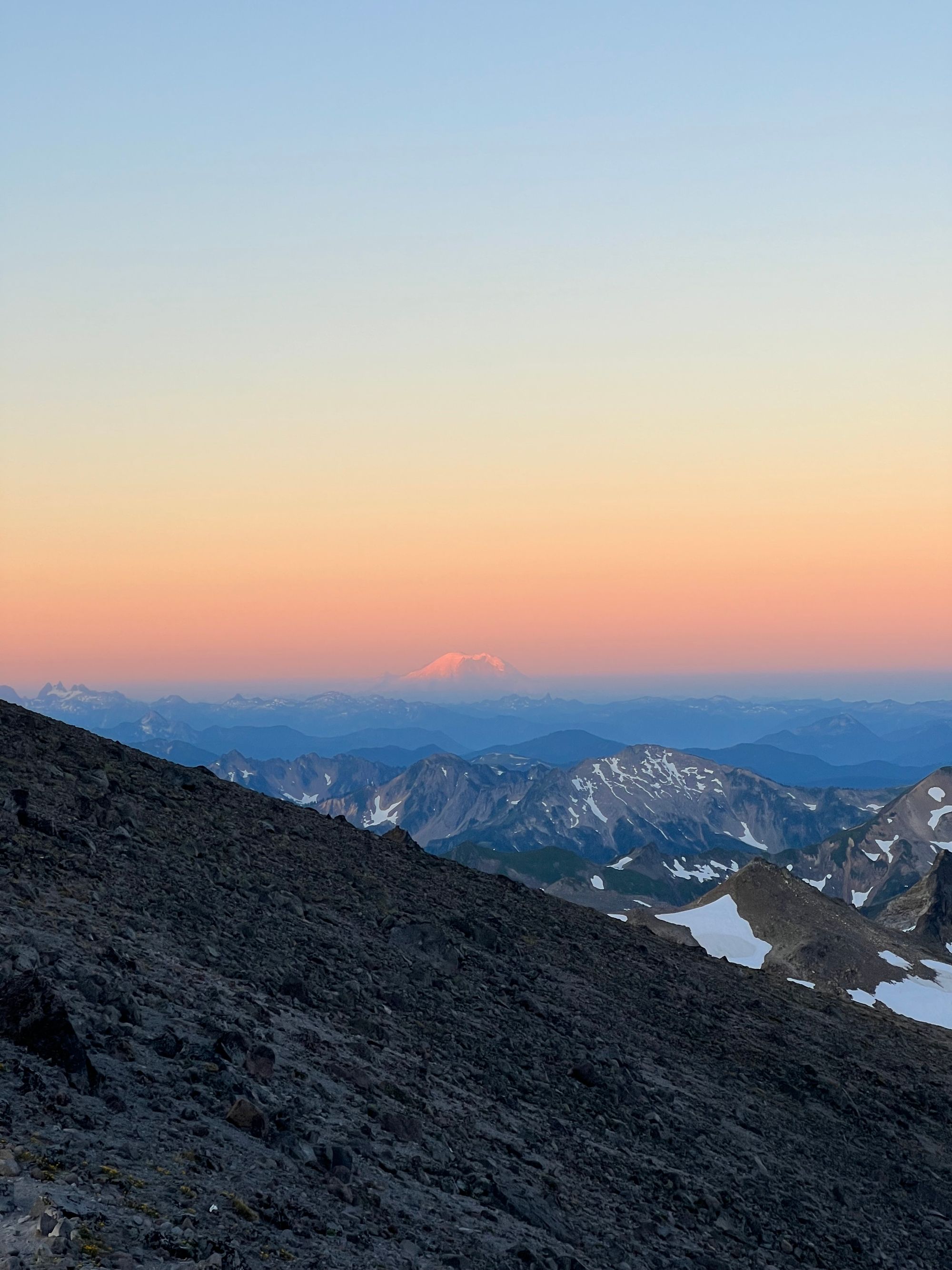
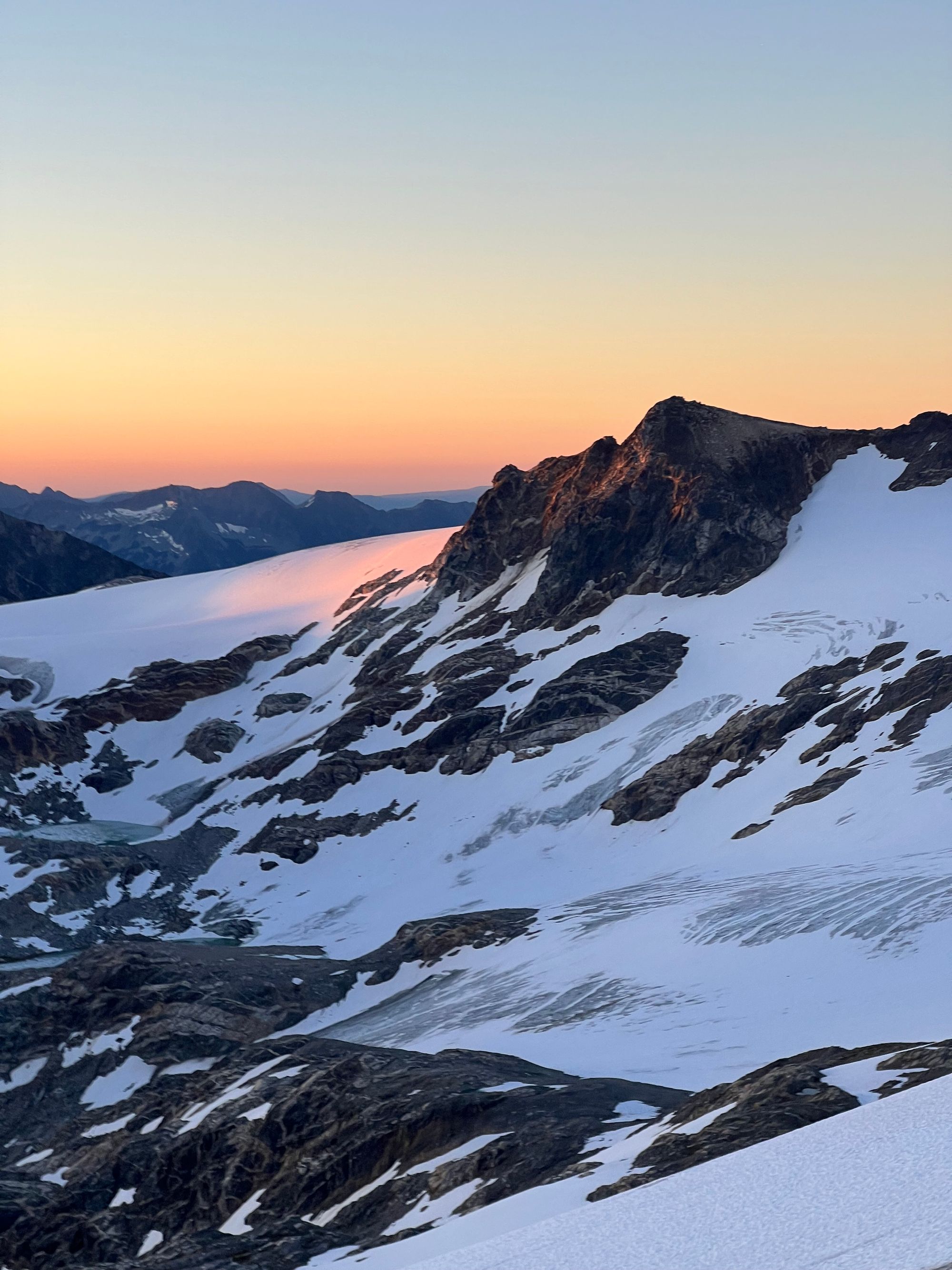
We would play it by ear and just see how far up the mountain we could get. Our first objective was to make it to the ice fall. We roped up and scurried across the rockfall zone.
After a short push up a steeper incline, we were already at the ice fall.
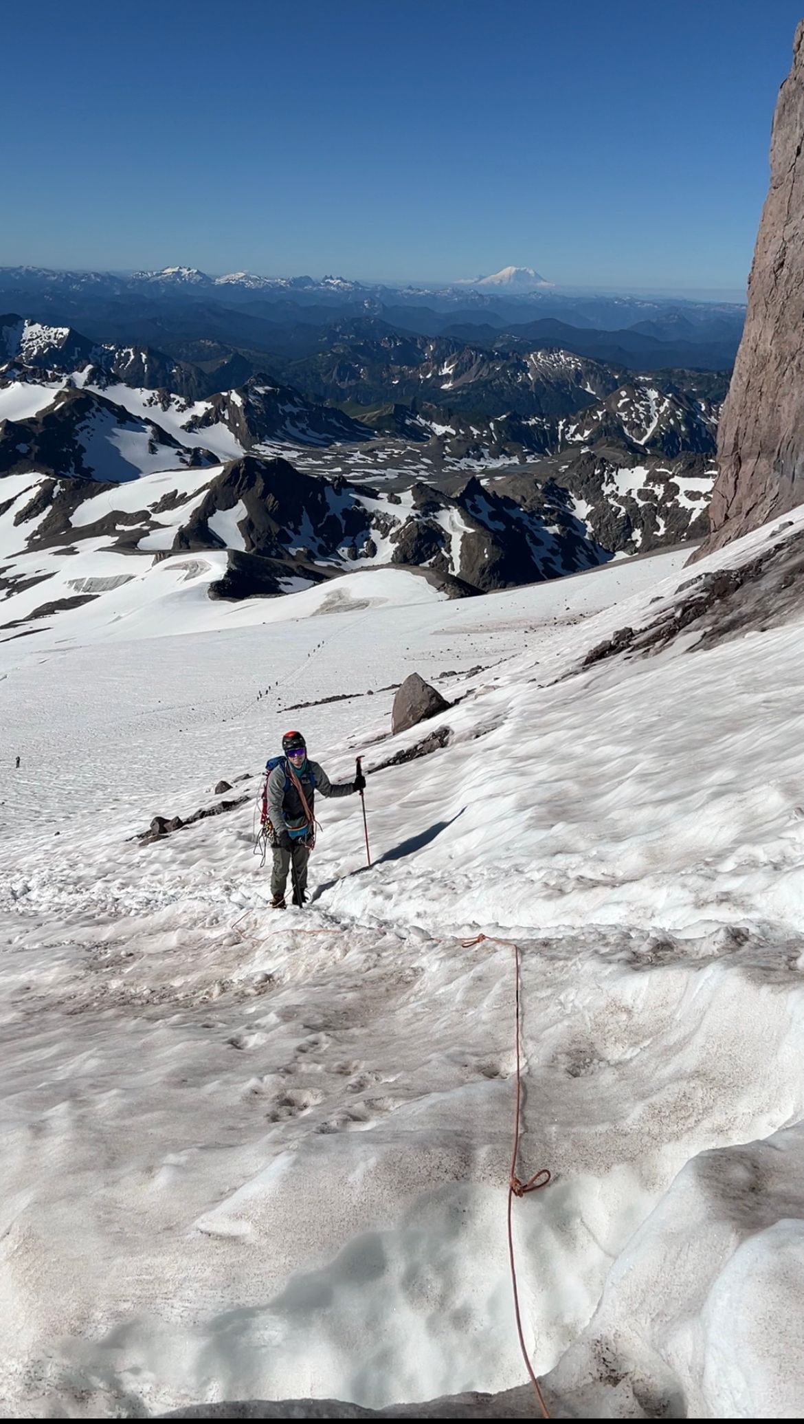
Negotiating the jumbled glacier was exhilarating, but our friction knots (there to help slow, or even hold, a potential crevasse fall) would frequently get caught on the mangled terrain. They were certainly working!
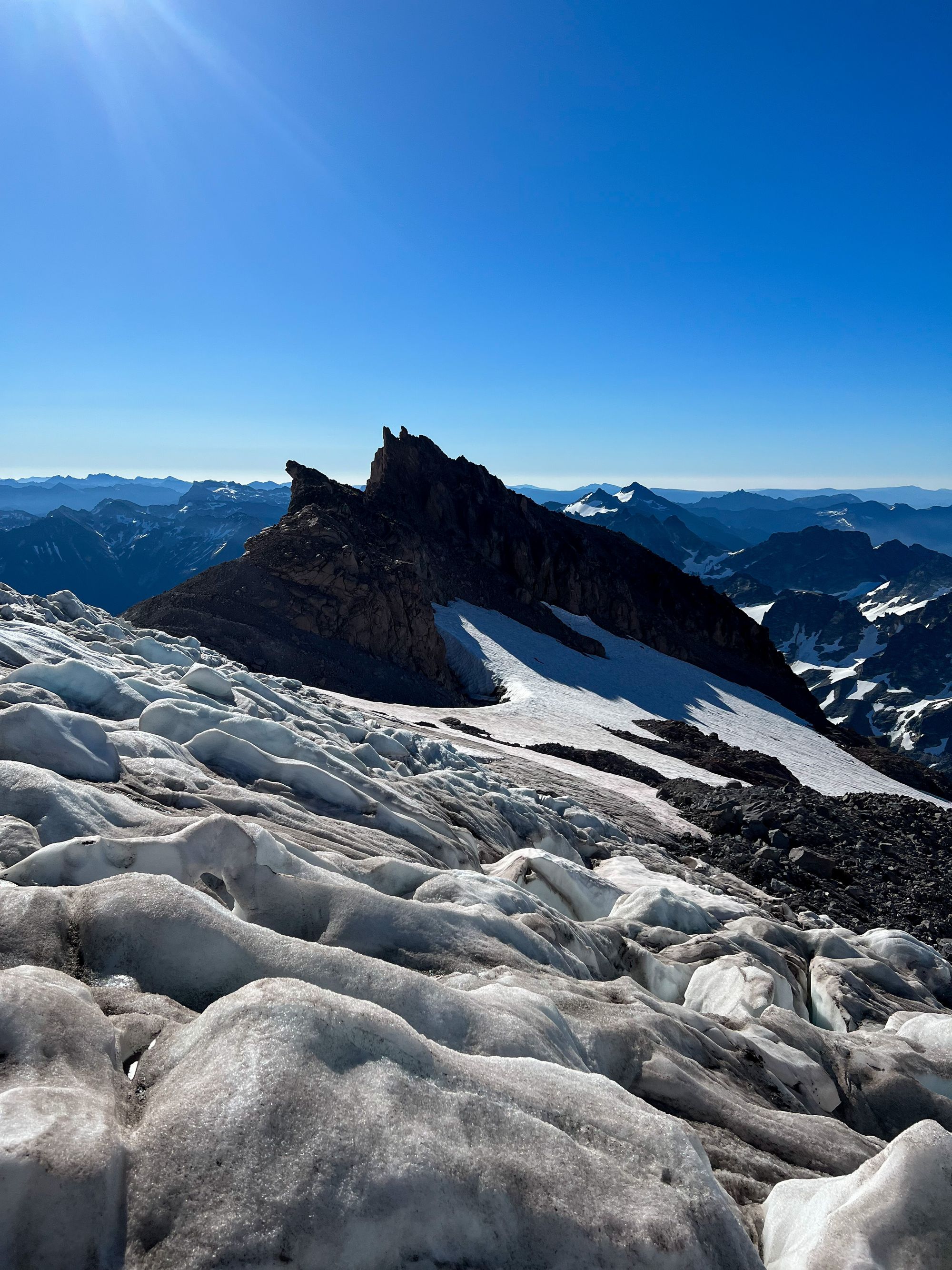
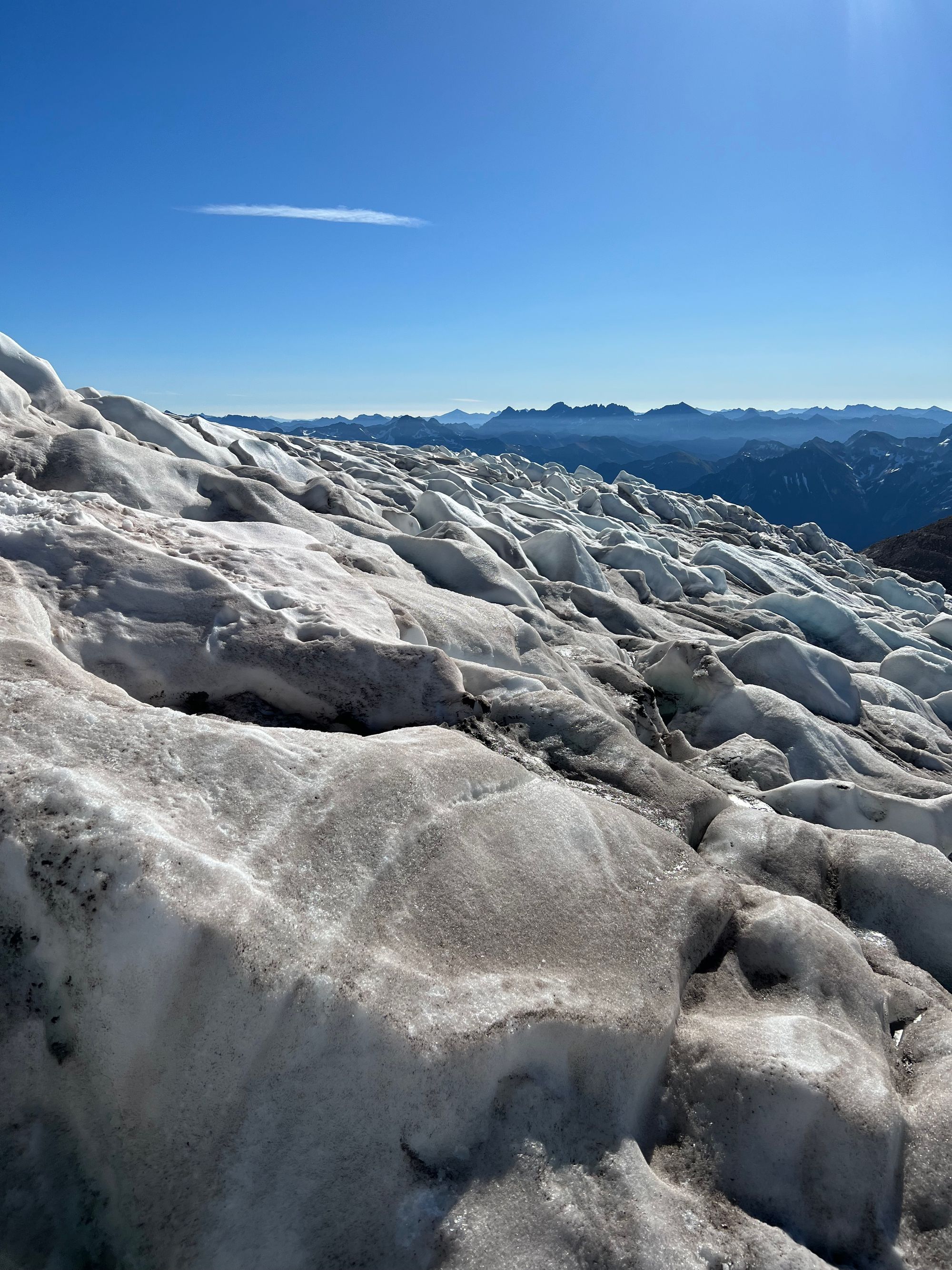
The merging glaciers were pretty broken up here, littered with massive groaning crevasses. Luckily, it wasn’t too difficult to find a path through (the crux, typical of glacier rope teams, was managing rope tension) and the problem solving in this section was exciting and fun.

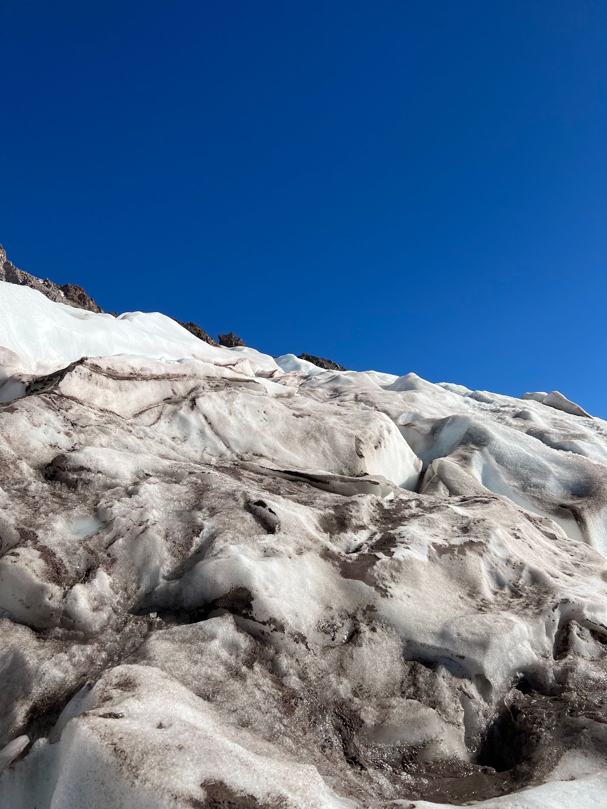
Well, we had made it to the ice fall. Both of us felt comfortable continuing so up we went!
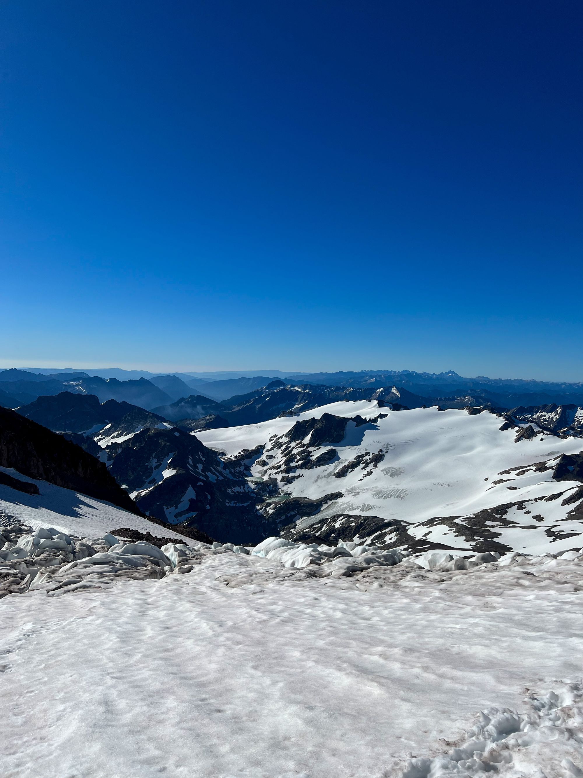
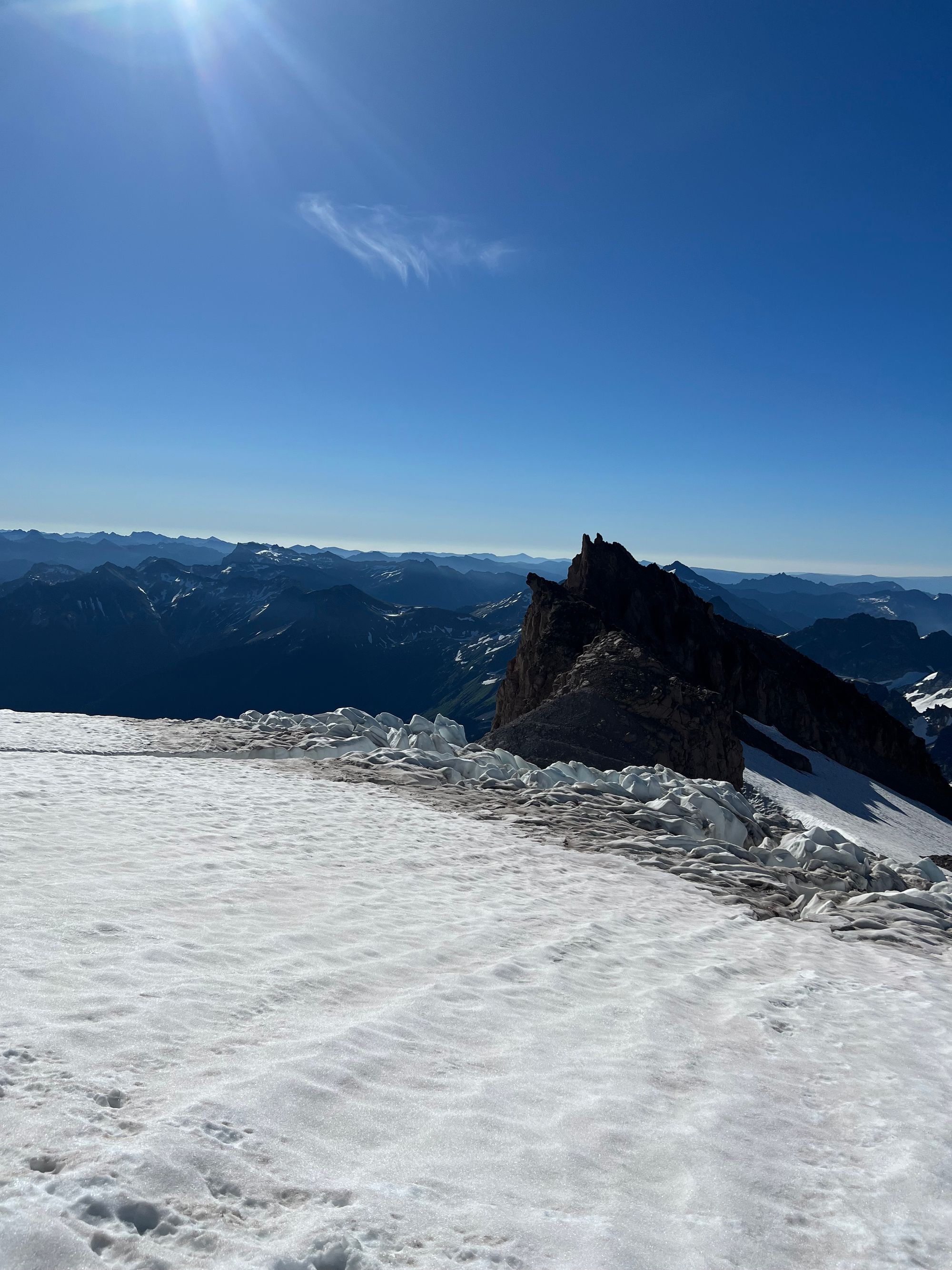
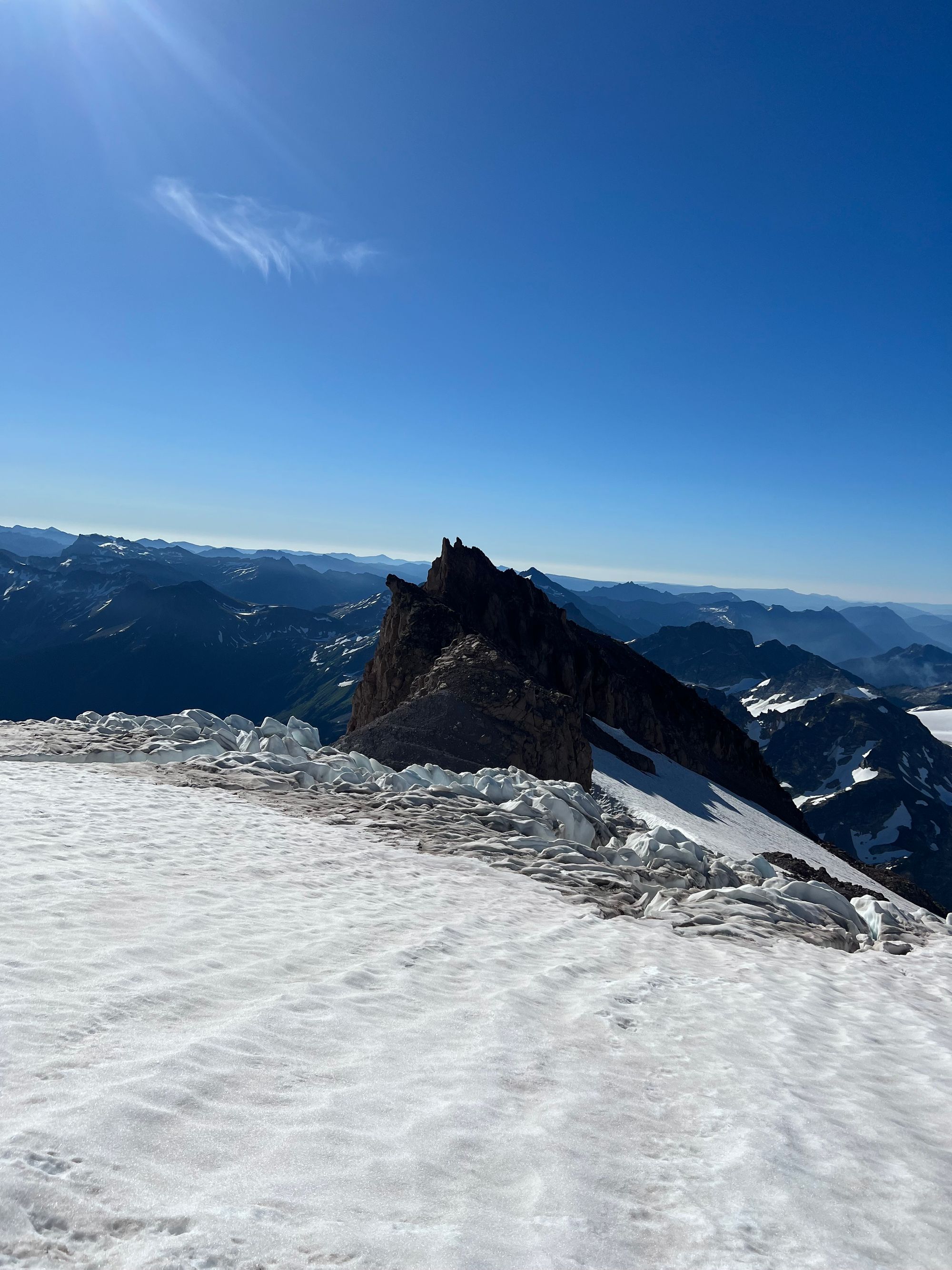
The crevasses of the Cool Glacier were larger. Near the summit, they creaked as the glacier shifted, emitting the most eerie noises.
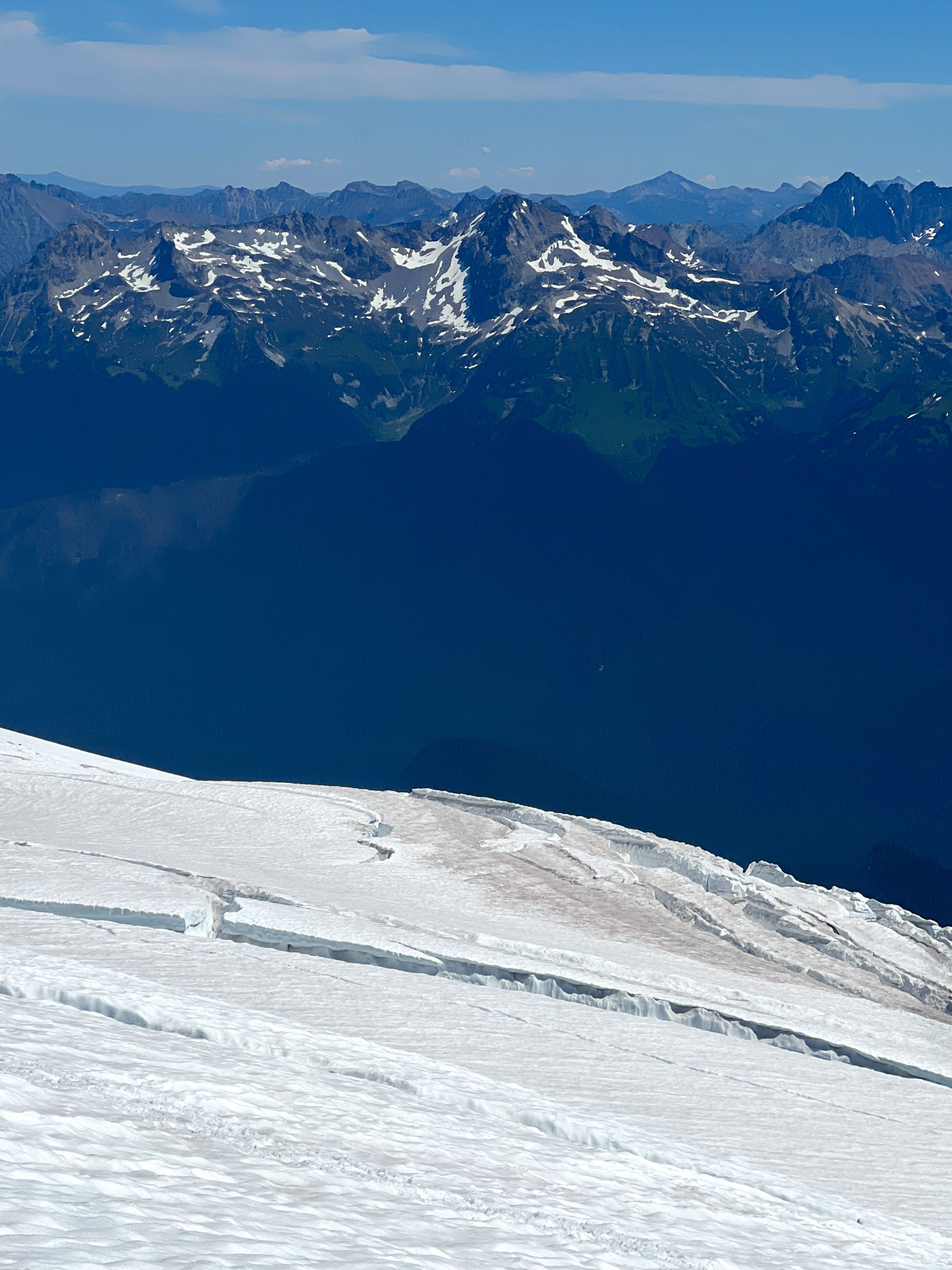
I led the way up the glacier, sticking to the left side (heading west) closest to Disappointment Peak’s subpeak. The crevasses in the middle of the glacier were larger and more broken up. We were able to step over or easily avoid all the crevasses on our chosen path.
We soon reached our last obstacle guarding the summit: the final few hundred feet of loose, dirt and rock ridge. Described as scary in Climbing Washington’s Mountains, I was nervous. But we kept pushing up and up and while the loose rock/dirt made unpleasant travel, it never felt exposed or scary to me personally.
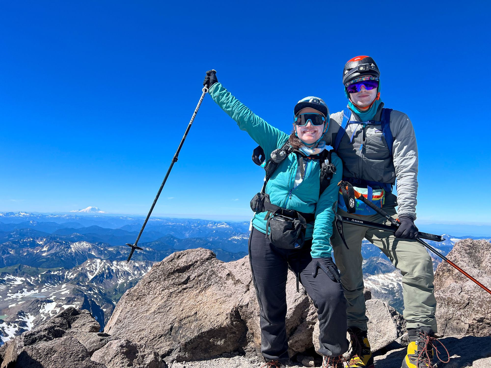
The summit was beautiful. We had perfect weather and views, and there was a flat bench right below the summit itself that makes a perfect lunch spot.
We succeeded in only sunburning our lips, which felt like a victory to me. It’s hard to manage prolonged sun exposure with all the reflecting snow. The best method is to simply hide as much of your skin with clothing as possible, but I find it unpleasant to cover my breathing while hot/exercising.
Before long, it was time to head back down before those big crevasses got any bigger.
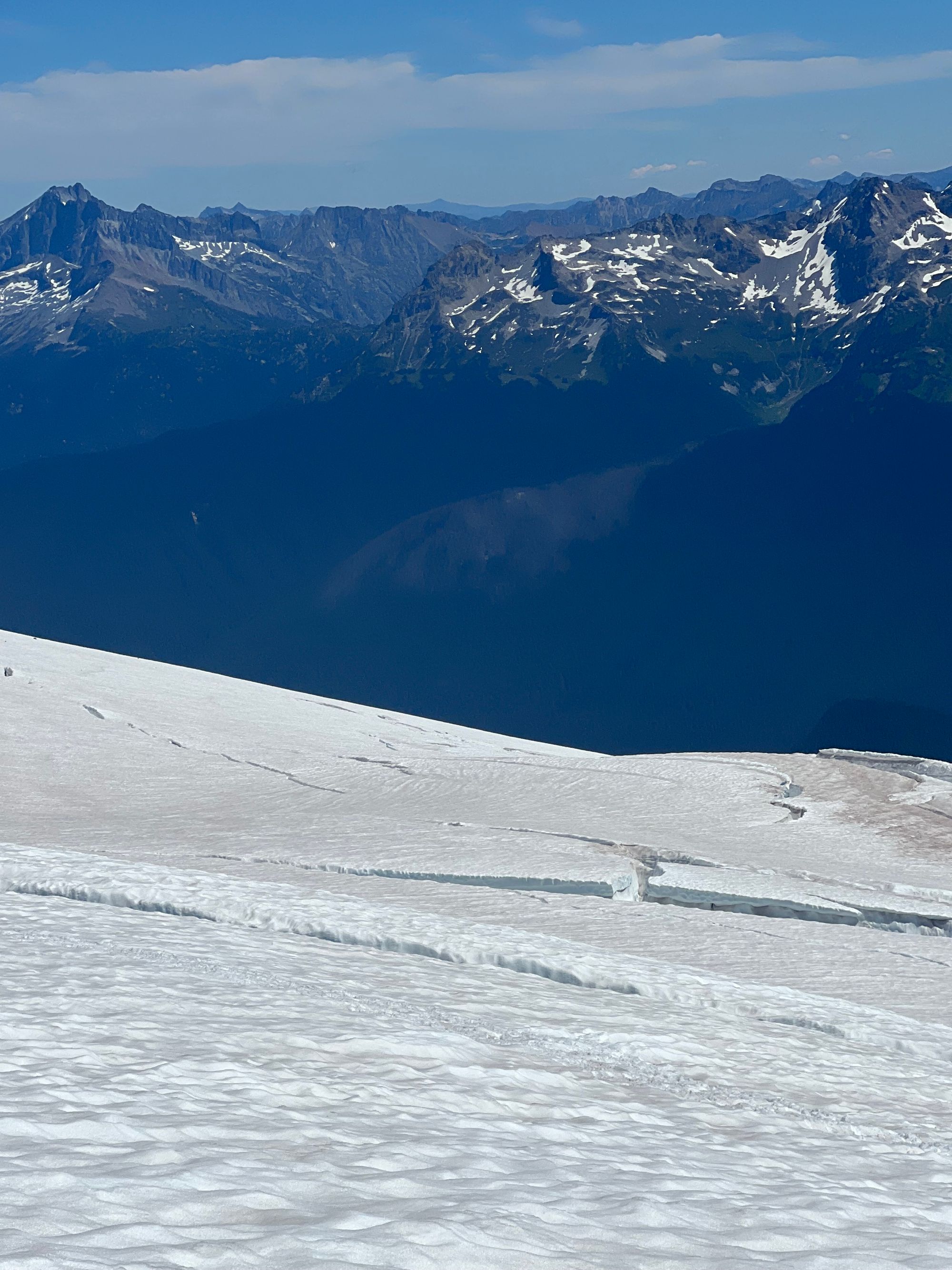
Glacier Peak is a beautiful and remote mountain. It was quite the contrast from the bustling community on Mount Baker. There were few people out here, so few that we got to know the other teams on the mountain. There was a sense of camaraderie on the peak, in part due to the shared wonder of our environment and part due to the lurking knowledge that our safety was in our own– and each others’– hands, outside help far away.
It really felt like being high in the clouds of a fairytale. Dancing through a magical maze of sparkling ice on our quest to climb the big volcano. Meeting the other travelers, all on their own quests with their own stories. It reminded me of the NPT!
Luckily, our descent was uneventful – only made interesting by the stories swapped with other climbers.
We retraced our route down and hiked back to camp, eager to escape our stiff mountaineering boots. Navigating the basin was definitely much simpler in the light of day, and without cramps lighting my stomach on fire.
We ate dinner and promptly passed out for the night.
In the morning, we packed up and began the hike back out to the trailhead.
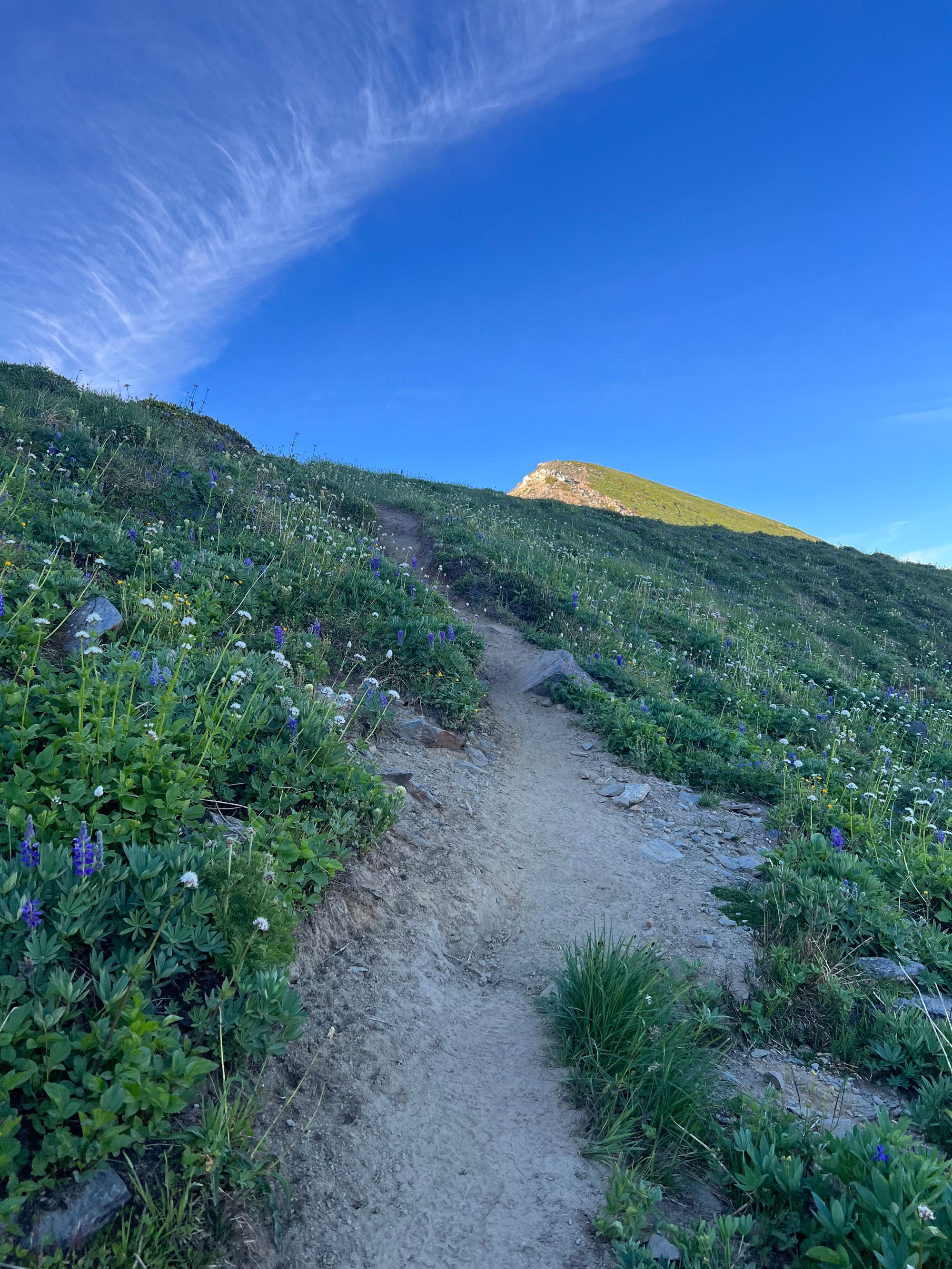
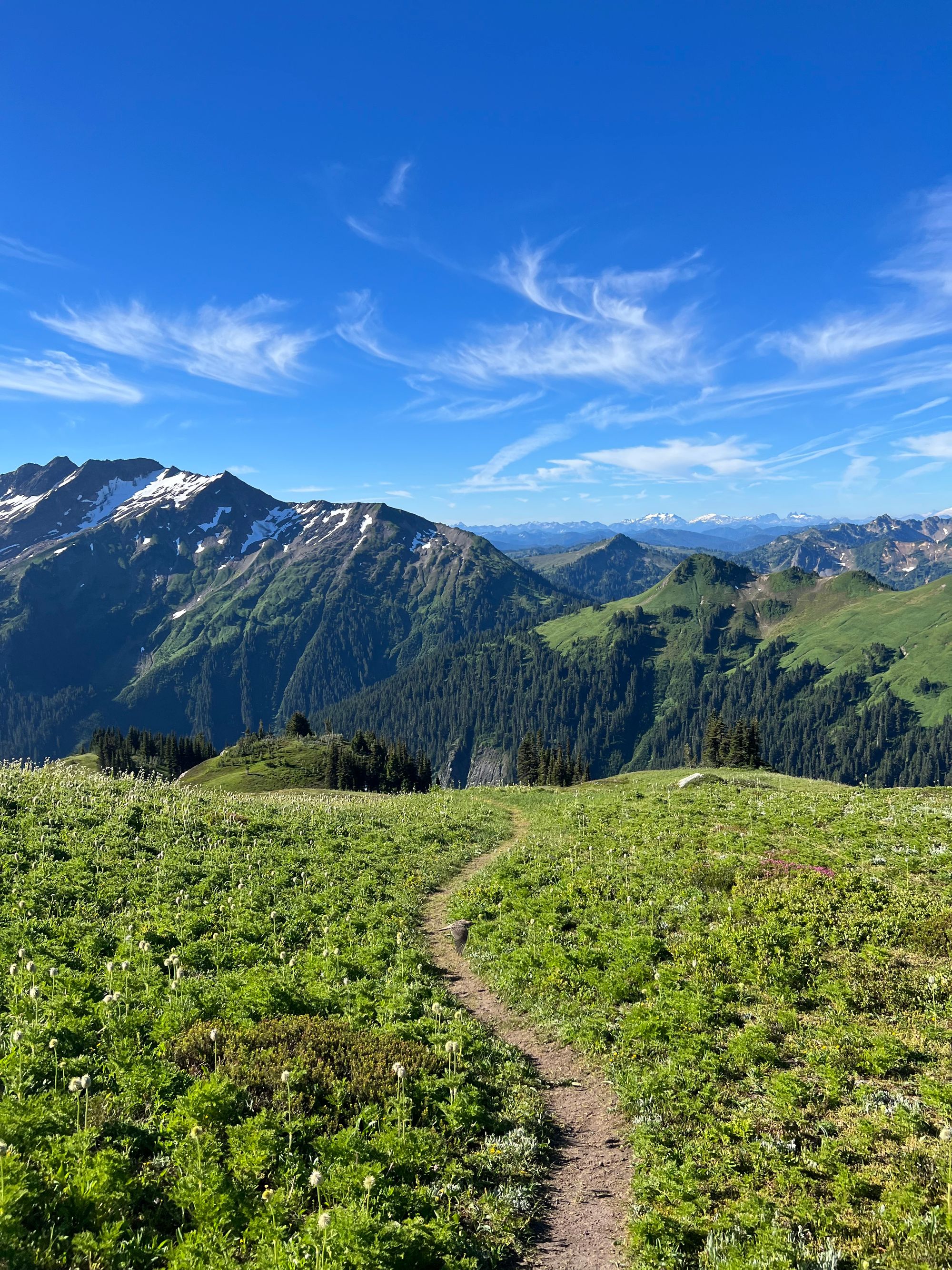
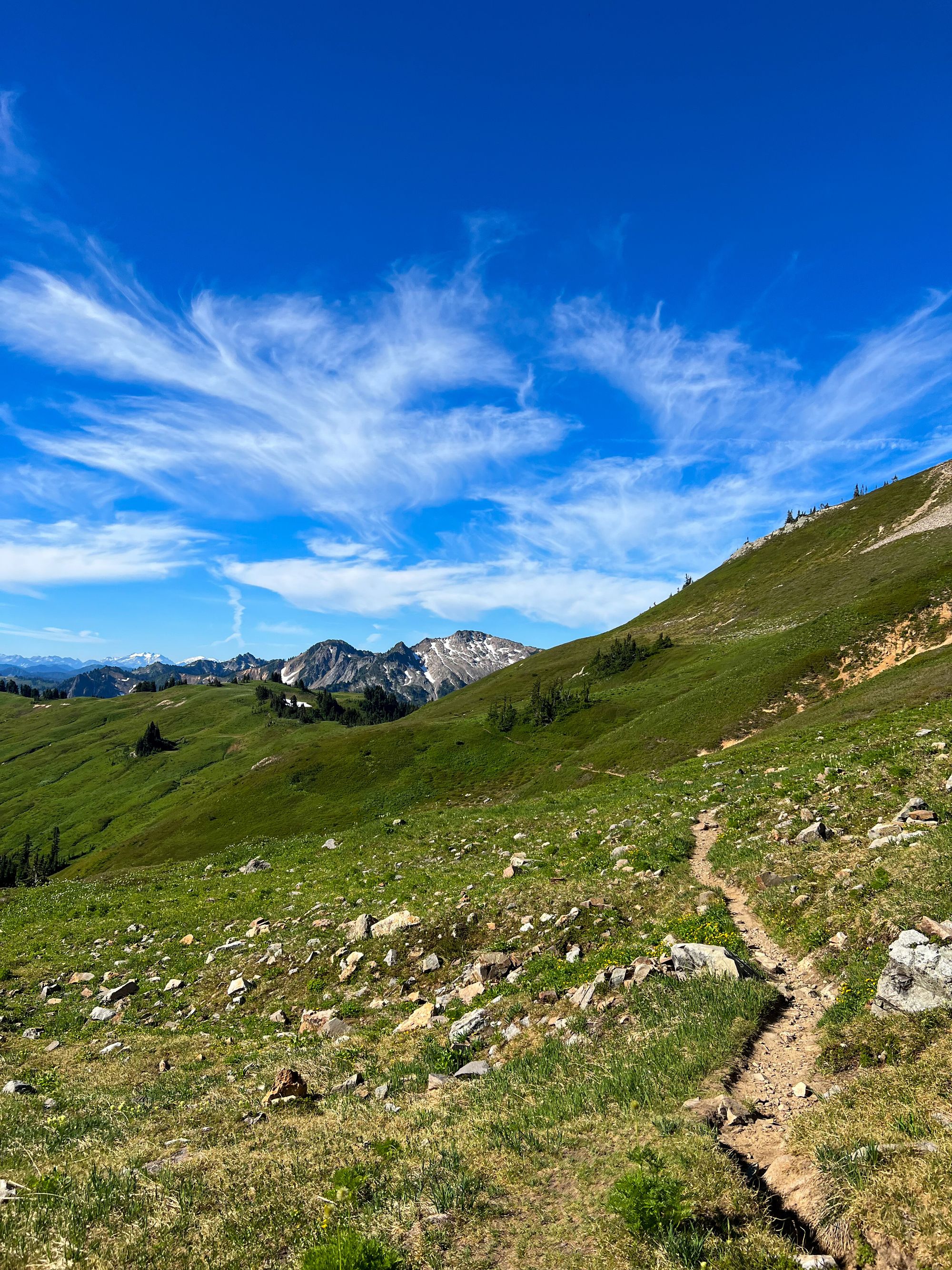
We saw another RPI alum trail running the PCT. Small world!
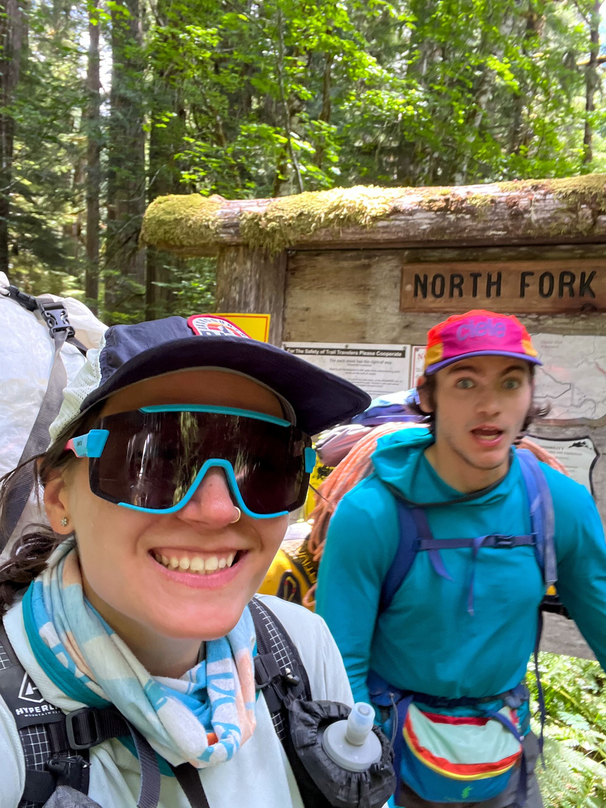
Glacier Peak was a great weekend of mountain magic, character building, and strong partnership in the mountains. The Cascades are magical and I’m so thankful to be able to climb here!
