Mount Rainier (Tahoma) Summit Attempt
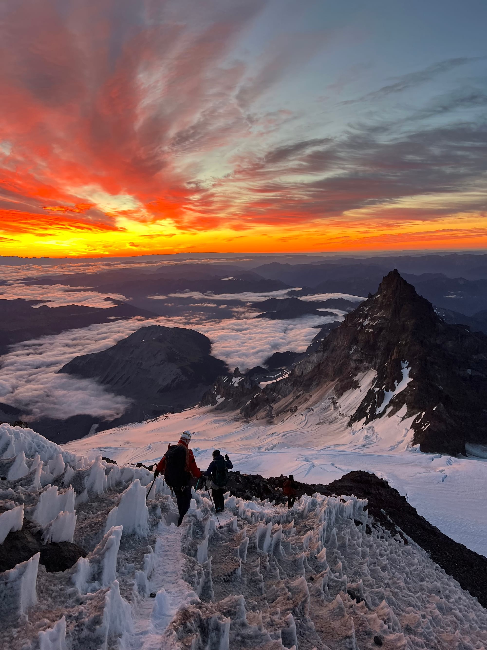
Otherworldly.
Saturday, 7/4- Sunday, 7/5
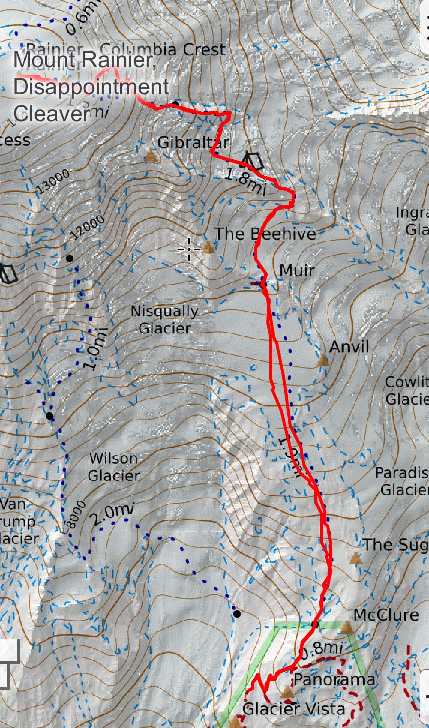
Stats: 12.74 miles & 6,332 feet of elevation gain to our turnaround point
It's ~15-18 miles and 9,000 feet roundtrip to the summit. Actual stats will be determined by the current route and glacier conditions. Late season, the route will wander more to avoid the large open crevasses.
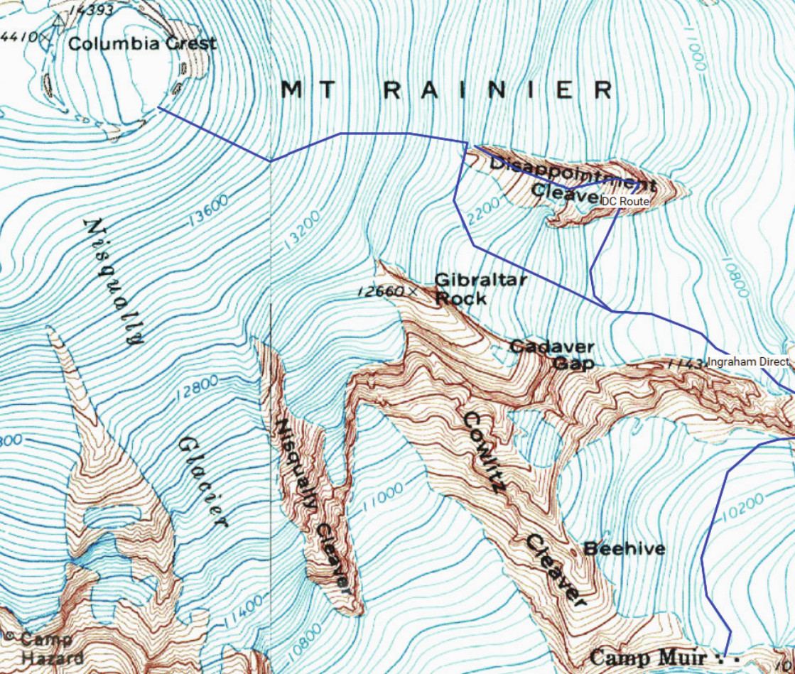
Map:
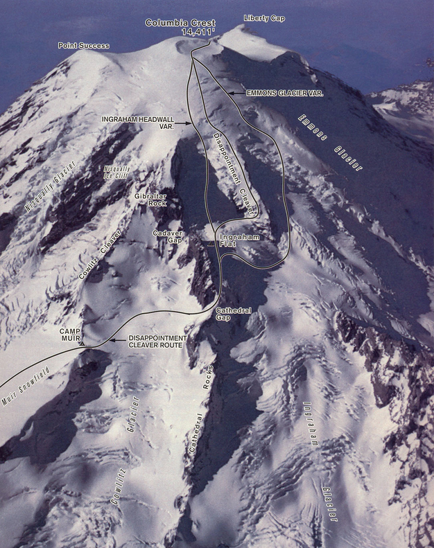
Trip Report:
On Friday, Greg and I drove down to Longmire to pick up our team's permit for Camp Muir.
The entire team doesn't need to be present to pick up the permit, but you will need: everyone's full name, emergency contact name and information, climbing permit fee payment confirmation number (the Agency Tracking ID), climbing experience (summits and routes), and team equipment inventory (how many pickets, pulleys, etc.).
The Camp Muir permits book up fast on summer weekends. We originally had a Muir Snowfield permit. This permit allows camping up to 9,600 ft on the snowfield (~500 ft below Camp Muir, which sits at around 10,100 ft).
Over the course of a week before the trip, I watched the cancellations like a hawk and was able to piece together a Saturday night Camp Muir permit for 4. We'd have bathroom access and wouldn't have to add 500 feet to summit day!
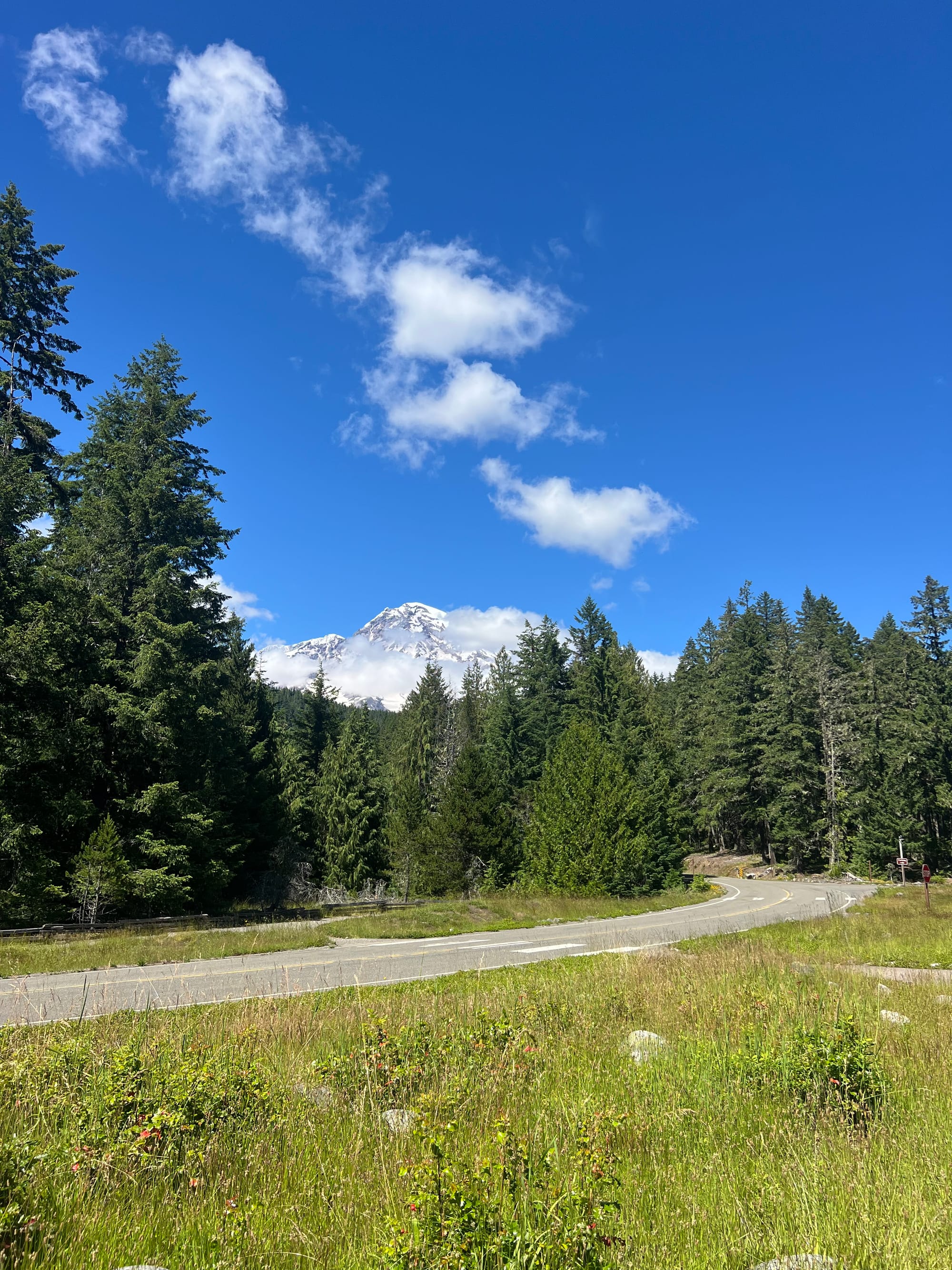
On Friday, we car camped near the park entrance and ate dinner with Alex and Meredith at Wildberry Restaurant, a Sherpa family-owned restaurant. One of the family members, Lhakpa Gelu Sherpa, set the previous speed record on Everest. The restaurant has Everest gear on display and vegan and gluten free options.
The next morning, we made it to the Paradise lot sometime after ~6AM. The lots seemed to be filling up before 6:30– it was the 4th of July. The trailhead morning bathroom line was looong! We started our hike up to Camp Muir around 7:30.
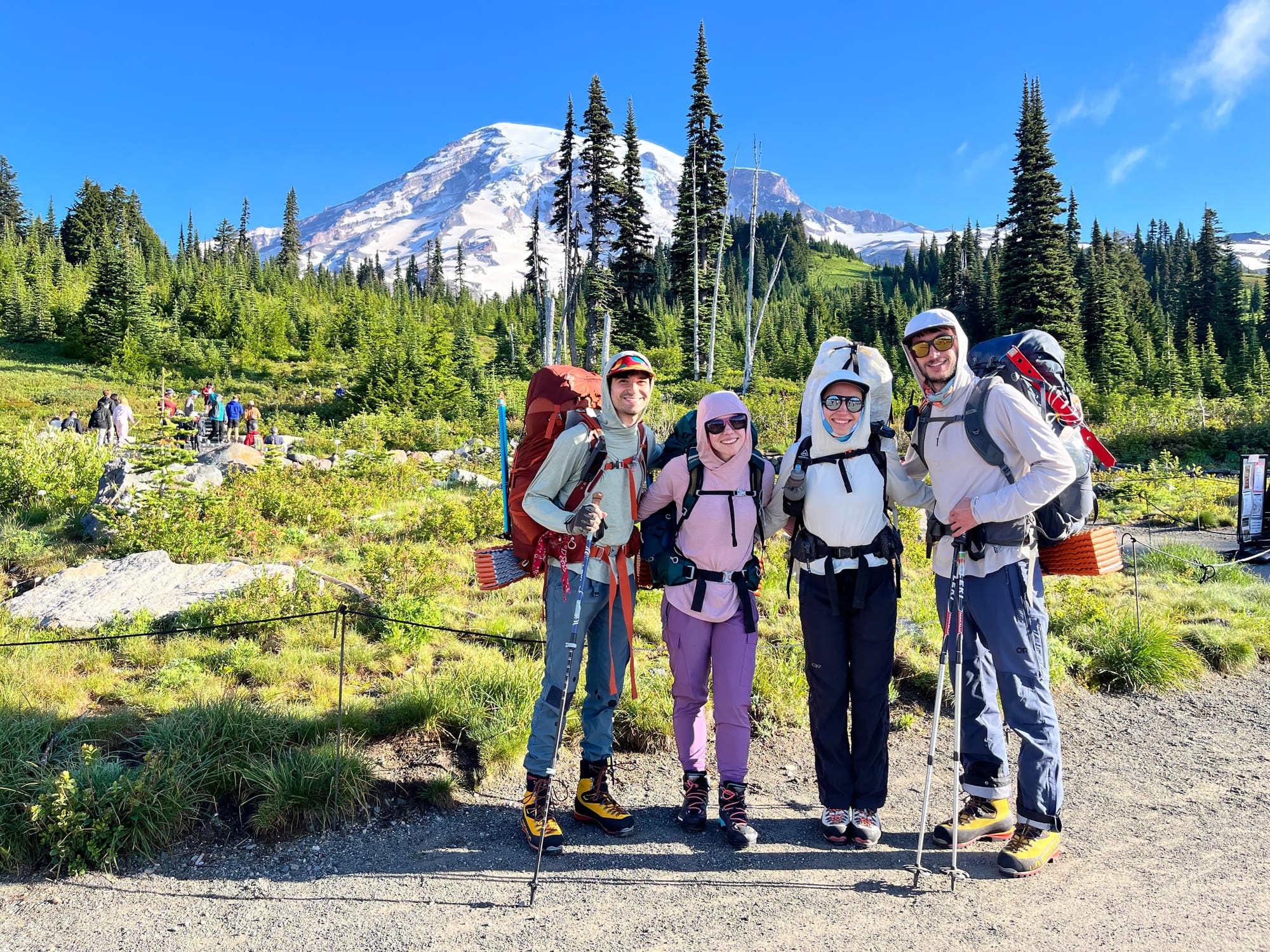
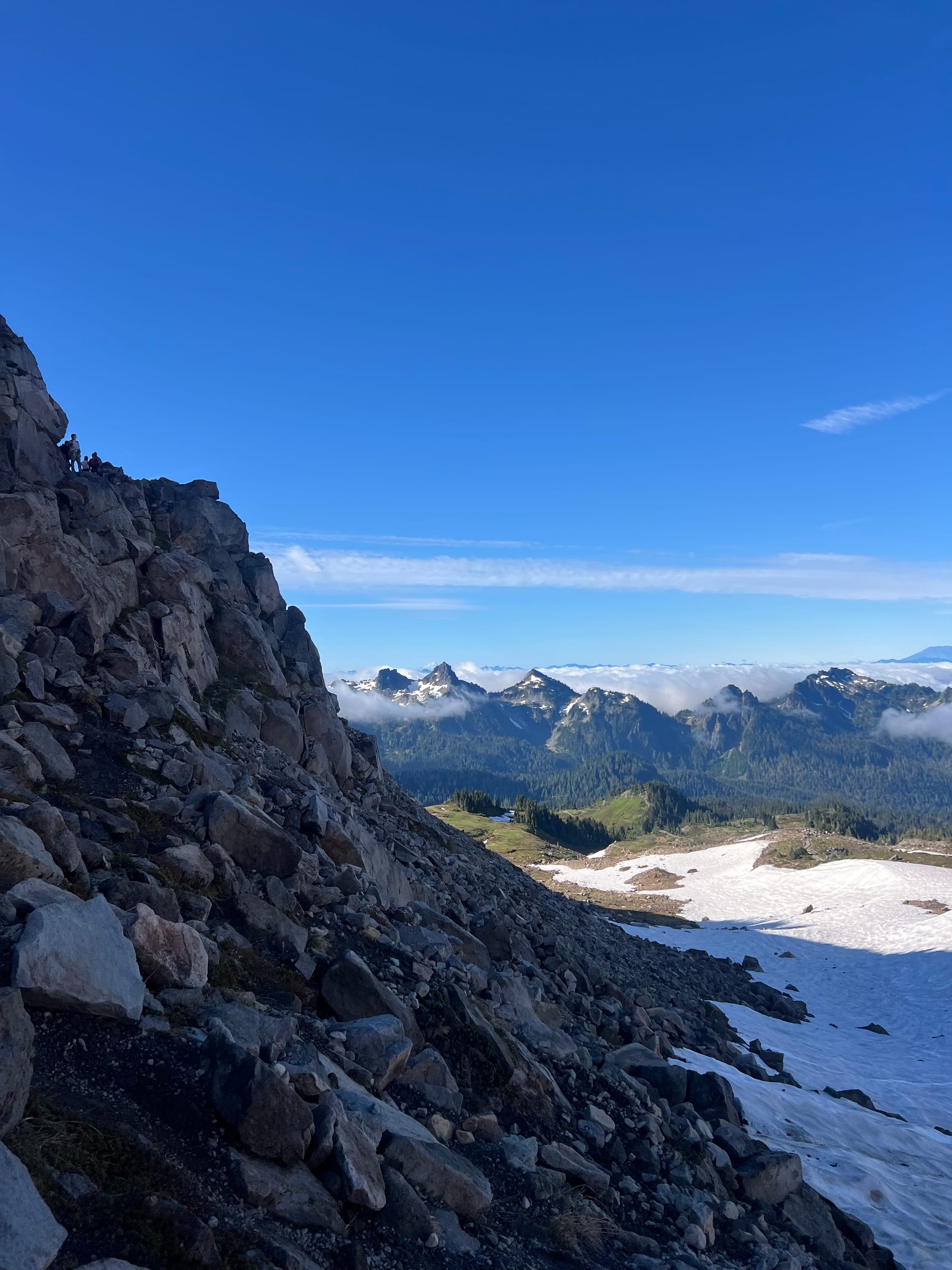
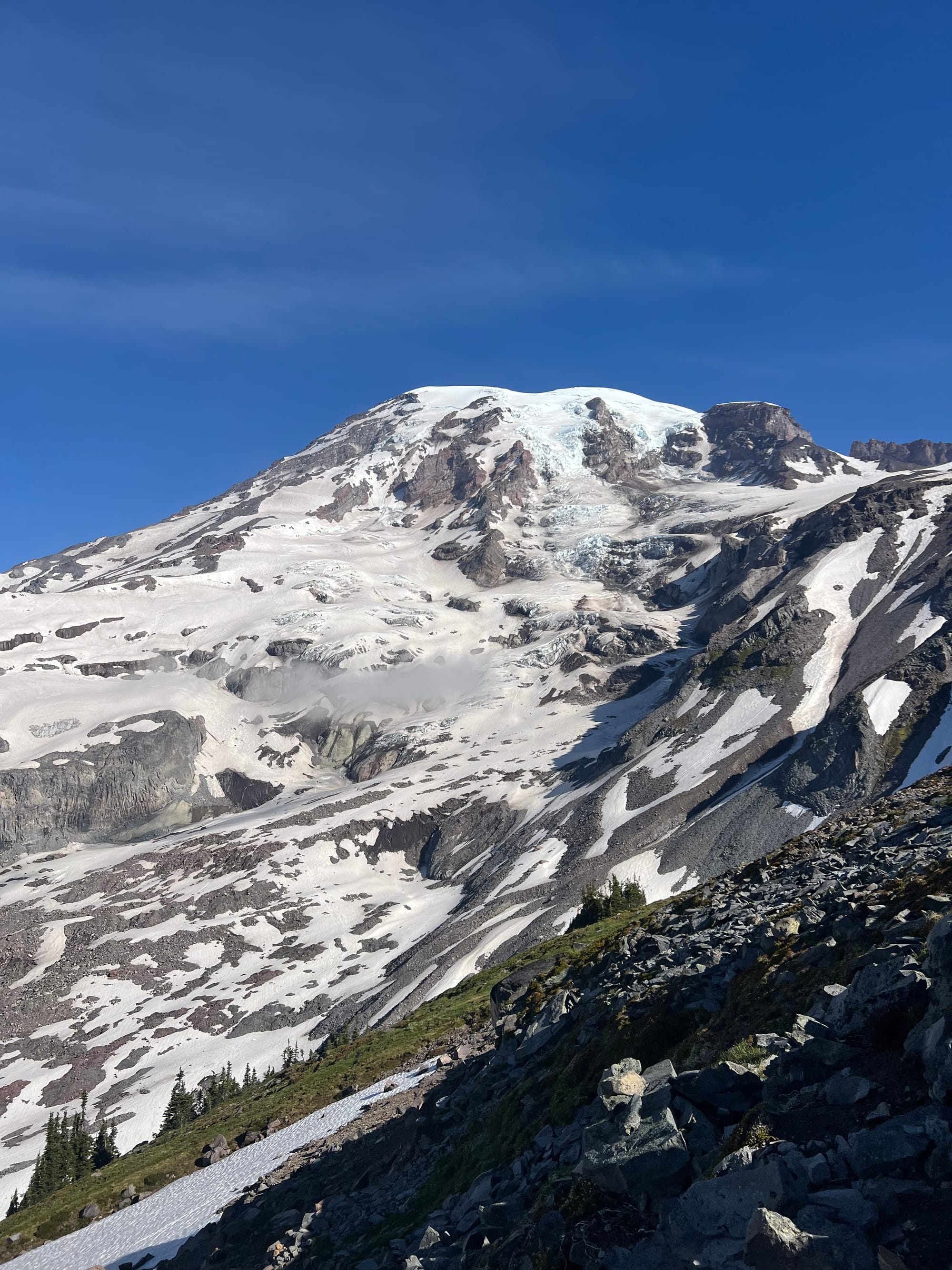
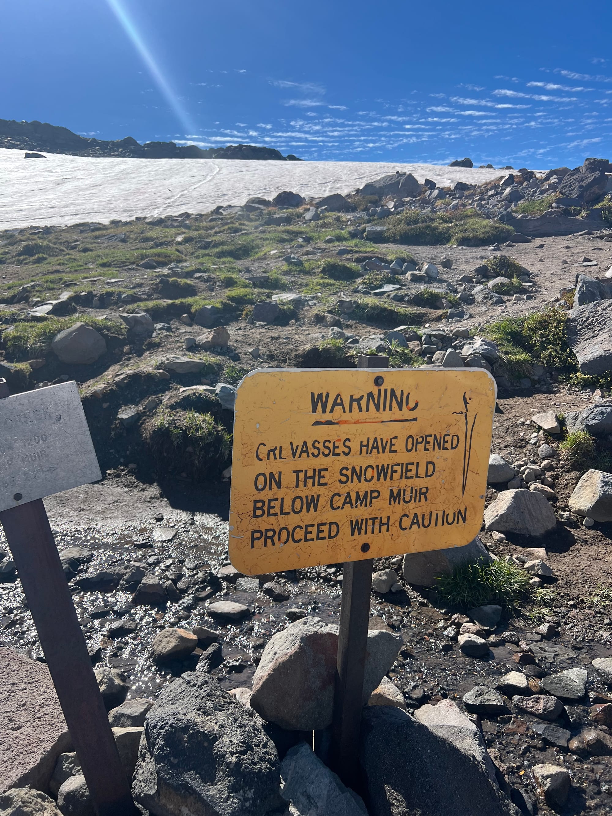
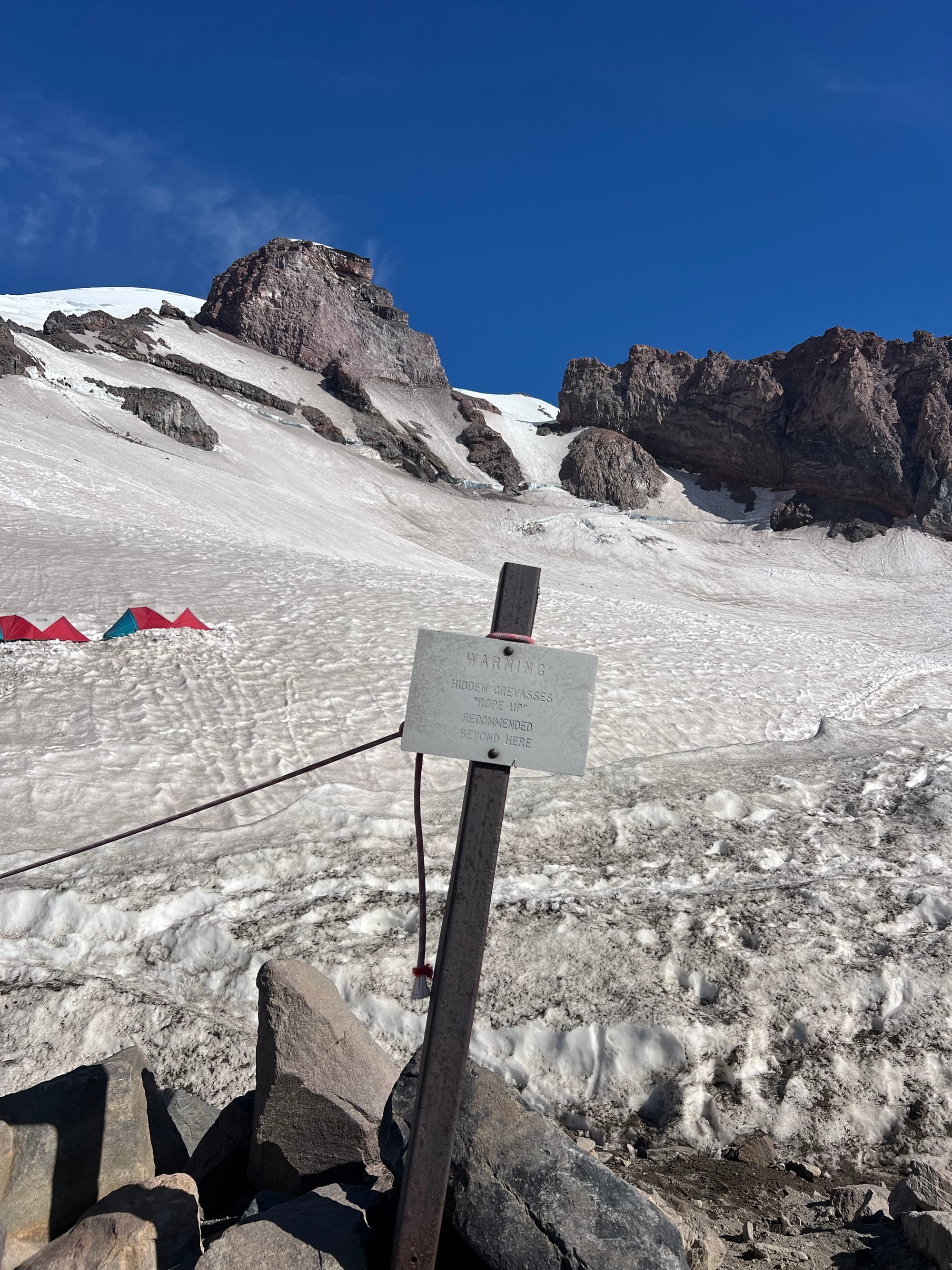
We made it to Camp Muir around noon.
The next several hours passed quickly as we worked on camp chores– digging out an expansion to an existing snow pit platform for our tents, anchoring the tents via guy lines, building a snow wall to shelter our backpacking tents from the wind, melting snow for water, purifying the water, cooking dinner, staying on top of hydration and calories and electrolytes at altitude, setting up our gear and the rope for the glacier climb, etc.
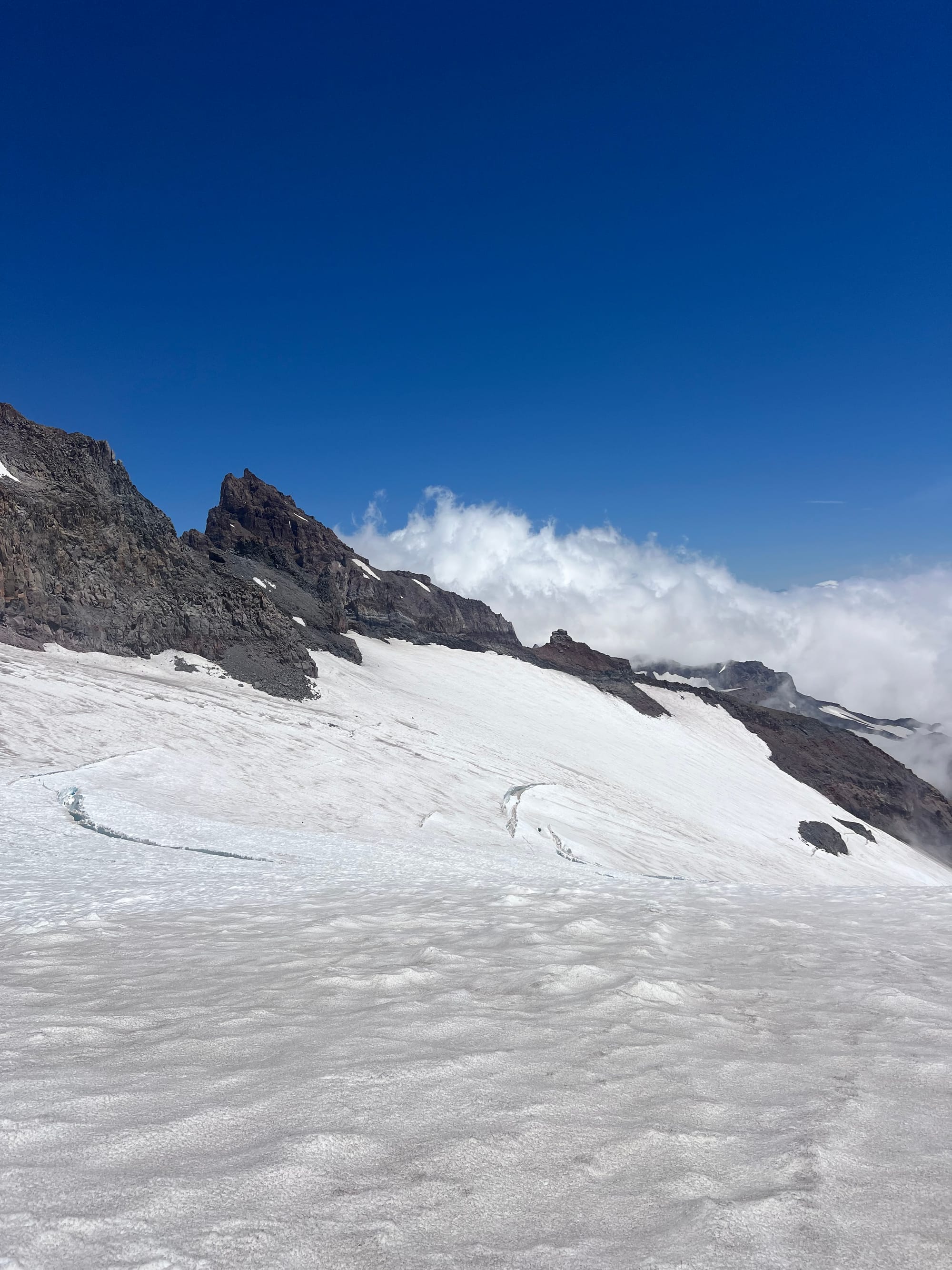
The climbing rangers give a briefing to the teams at Camp Muir around 4-6pm. They are very friendly and helpful (see lessons learned below for some of their advice)!
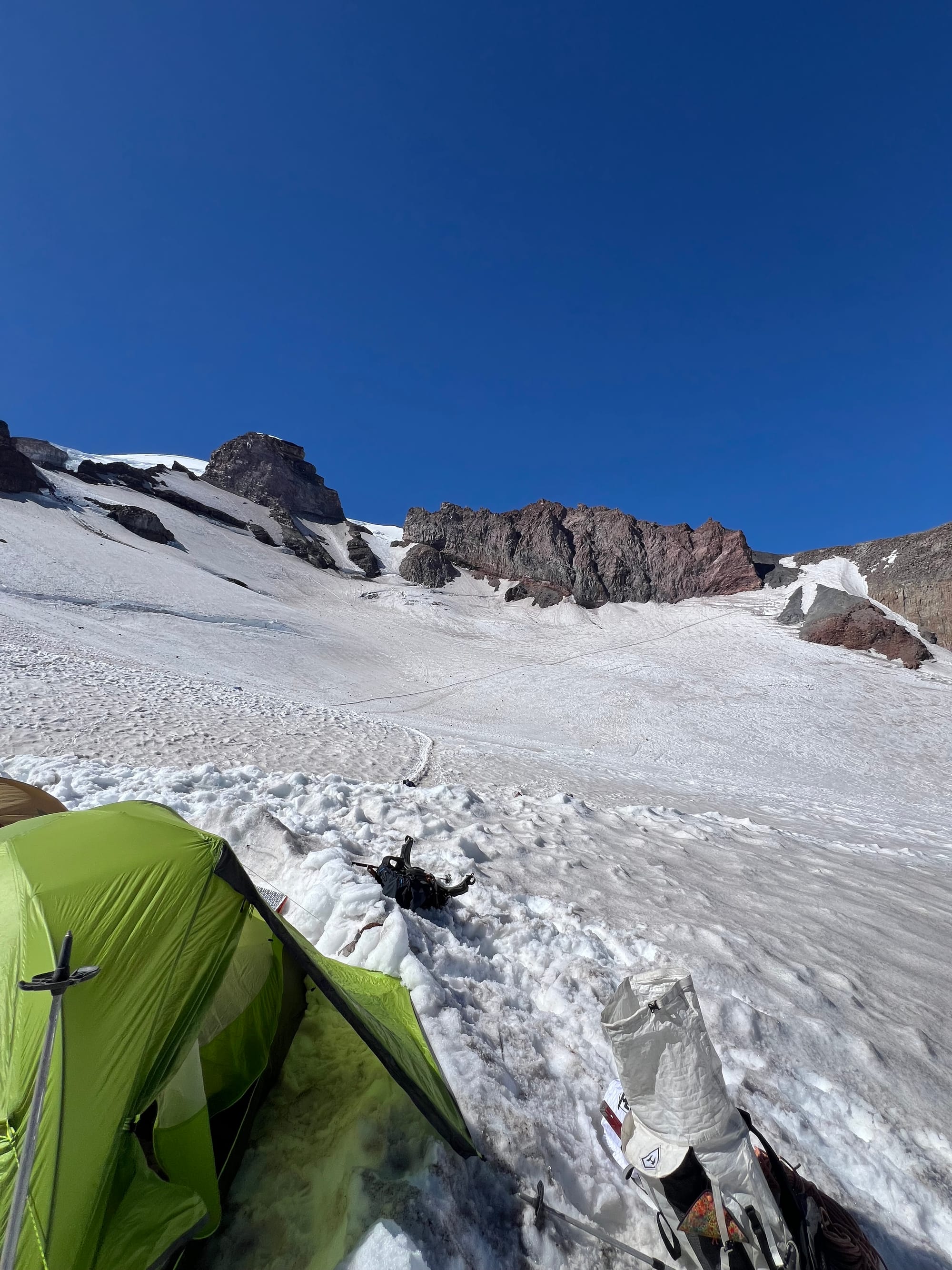
It took a lot of time, effort, and energy to secure our 3 season tents (we used the Nemo Dragonfly) to withstand the wind. This was the first trip to make me want a 4 season mountaineering tent.
It was fun to build our fortress, but other climbers simply popped up their sturdy mountaineering tent and had way more time to hang out and rest for the summit push.
The climbing ranger told us that the freezing level would be 13,500 feet and that we would be climbing on the busiest day of the season. The high freezing level meant early turnaround times. Almost all of the mountain would not refreeze overnight. Conditions would get super sloppy when the sun came out.
We wanted to be off the upper mountain before crevasse snow bridges weakened and the risk of ice and rockfall increased. The ranger told us he personally would not want to summit later than 7-8AM. Since none of us had ever been on Rainier’s upper mountain before and Alex and Meredith are new to mountaineering, our risk threshold was low.
The ranger also advised us that he wouldn’t want to be on the Cleaver below any other teams and recommended coming back on a Tuesday and climbing midweek. Weekend crowds on the mountain add hazard. He suggested turning back if we felt like other teams were making things unsafe or if we felt like we were no longer having fun ourselves.
The ranger asked us to be patient with other groups, to only pass when safe, to let others pass when possible. He said everyone probably has an altitude headache and might be grumpy but we are each other’s best resource if something goes wrong up there.
Other teams did in fact make the Cleaver feel unsafe. Two teams passed during a narrow, precarious section instead of waiting until we got through the choke point (or literally just choosing another route up the scramble) and ended up sending (large!) rocks down on our team.
Another team didn’t short rope, so they dragged their rope through the loose rock, constantly sending rocks down onto their own teammates.
The scary experiences stick out, but plenty of other teams coordinated safe and respectful passes.
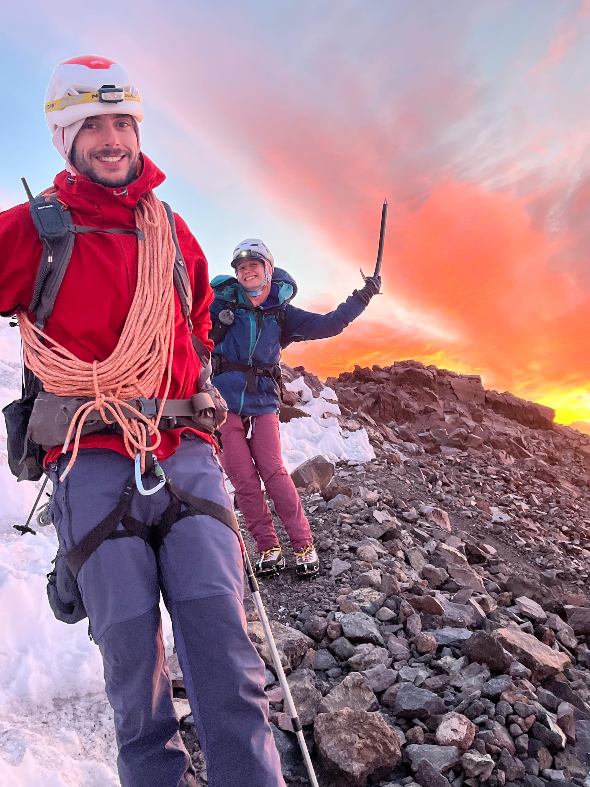
We short roped on the way up, but it was unpleasant. It’s not fun to scramble loose rock while tied together. Being roped up also makes passing other teams harder. We unroped for the descent and travel was much, much more pleasant. Next time I would unrope for the Cleaver both ways.
We kept our crampons on. The Cleaver was still a mix of snow/ice/rock for us and crampons bit nicely into all of it.
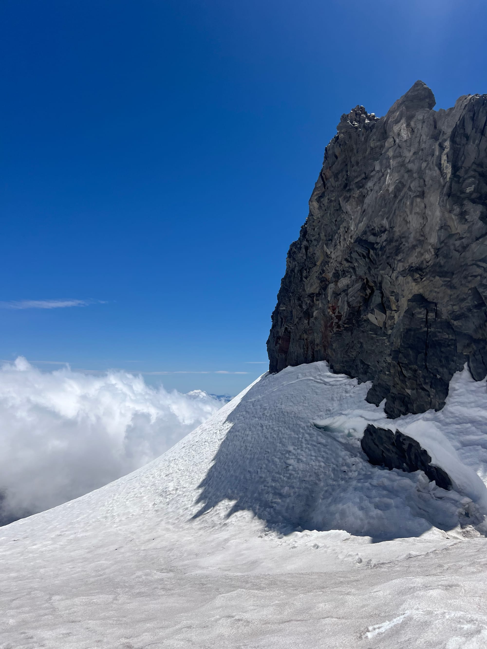
After the Icebox and Bowling Alley (named for their respective ice and rockfall risks), there’s a small “cave”-like feature, right before you begin the final traverse onto the Cleaver. This is a great place to unrope or take in coils to short rope. You are above a cliff but this zone is sheltered from overhead hazard.
I would not want to stop in the Icebox, Bowling Alley, or along most of the Cleaver. There is so much overhead hazard risk in these zones.
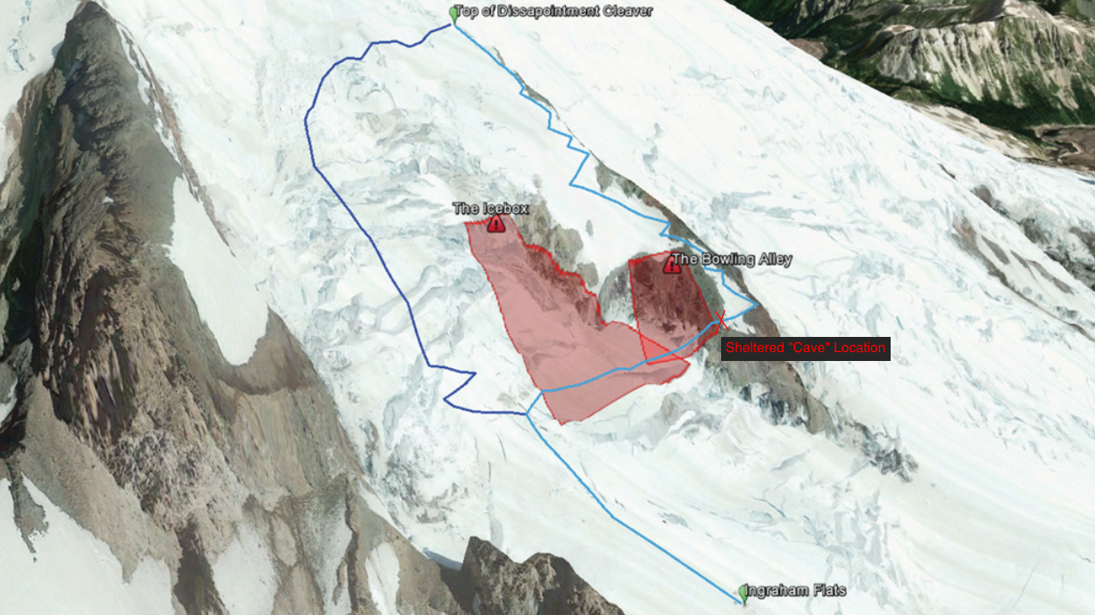
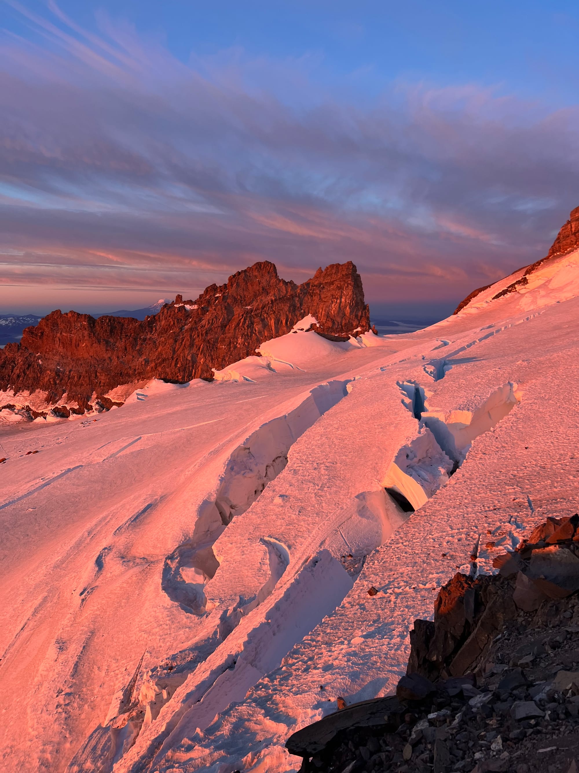
We ended up turning around ~11,600 ft on the Cleaver. We weren’t going to hit the summit by our turnaround time. We could have kept going up anyway but if we turned back now, we could descend the Cleaver ahead of other groups, with lower rockfall risk.
Due to the weekend route crowding (of which we were a part of), we decided to turn back ahead of the other teams since we weren't going to summit anyways.
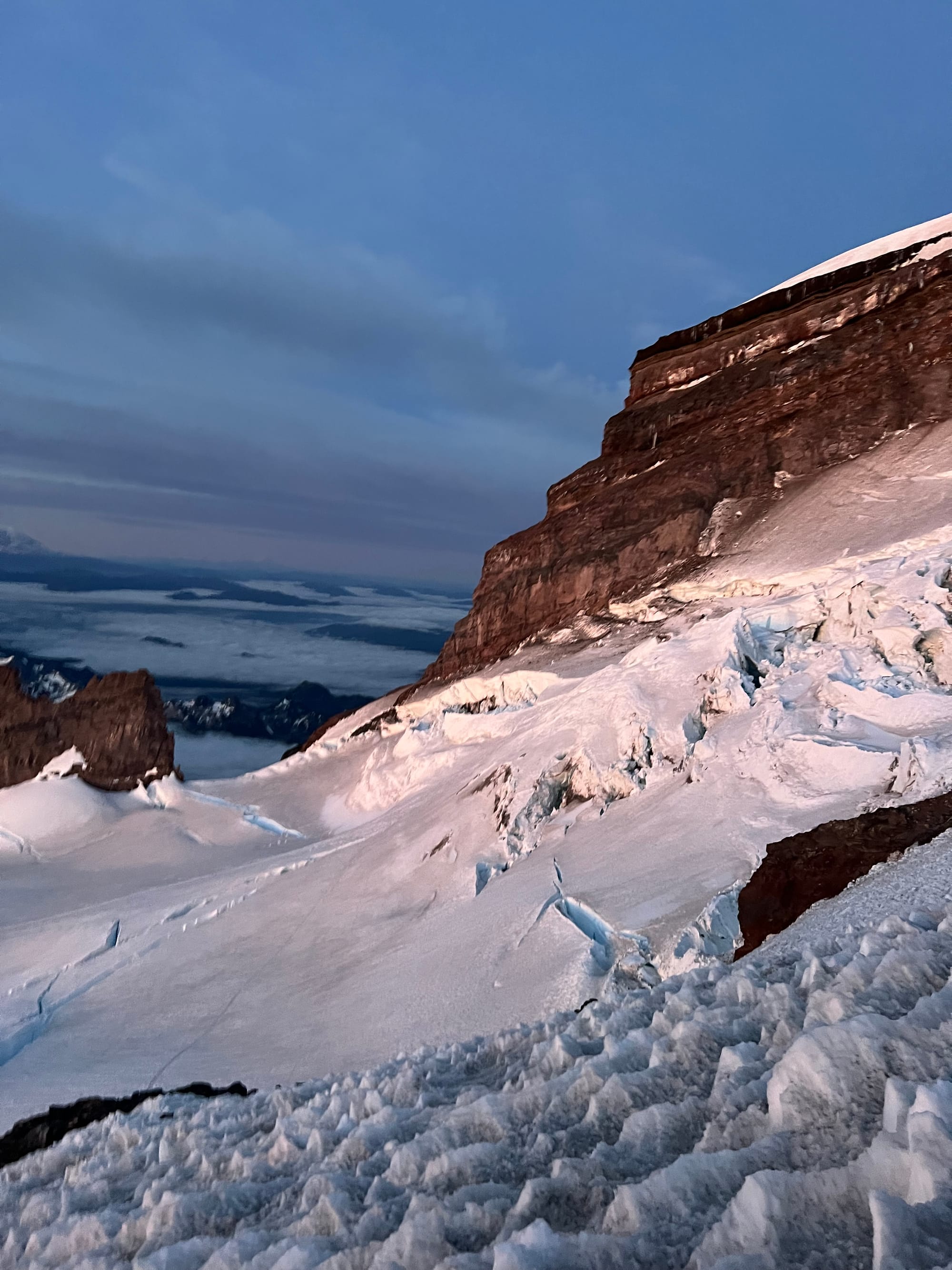
The climbing ranger told us that four days ago “a kid got hit in the face with a rock” on the Cleaver. Two weeks after our climb, four climbers were injured and one climber was killed in a rockfall incident on the Cleaver. I hope all involved heal quickly. I’m sending love to the family and friends of the climber who passed away.
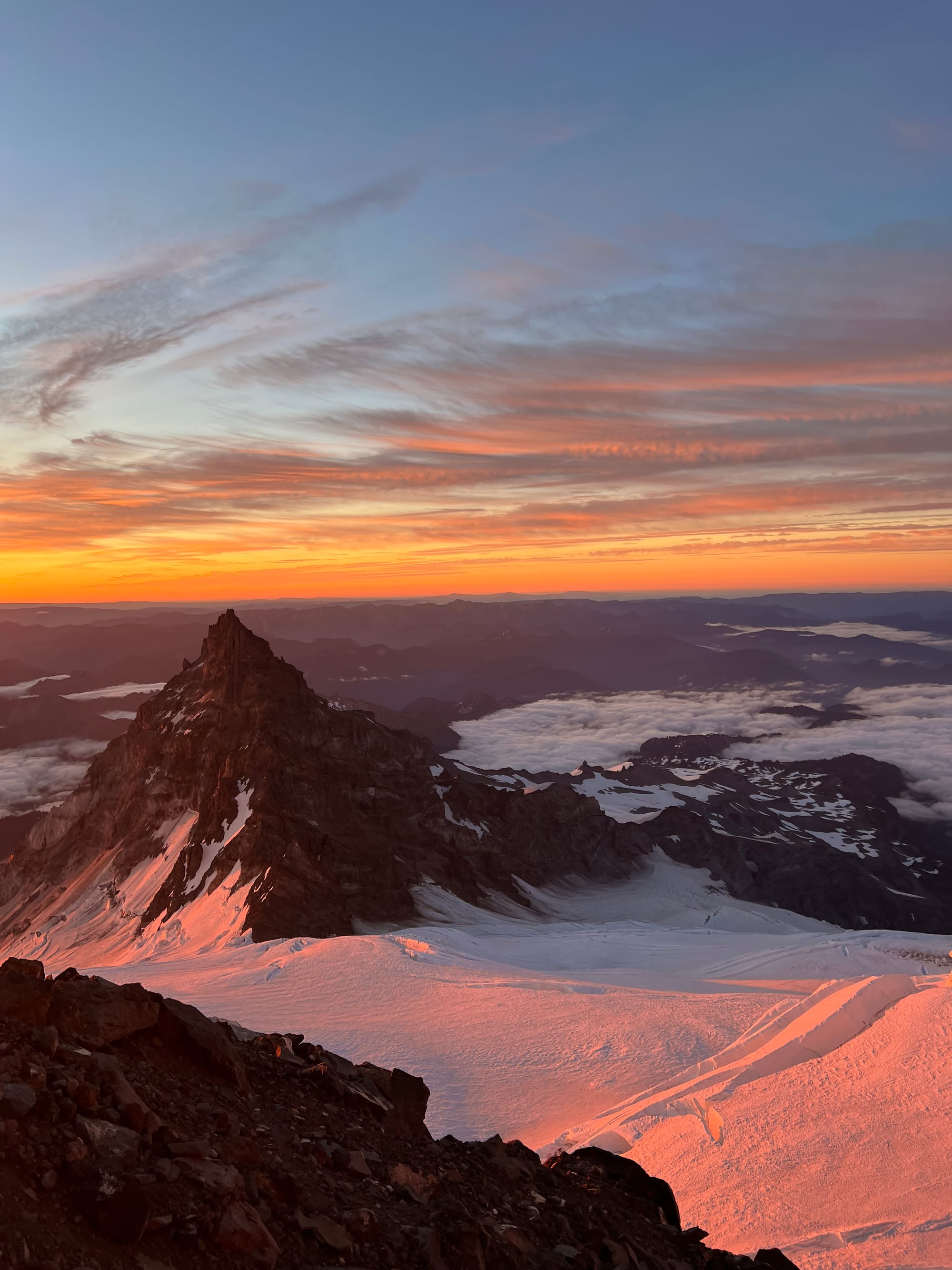
The guide teams left Camp Muir at 10pm. If we did too, maybe we would have made the summit (we left around 1:30am), but being on the upper mountain for a prolonged amount of time lowers safety margin.
Two of our teammates are new to mountaineering. It just takes time and experience to learn how to move quickly and confidently in the alpine. Rainier was an ambitious goal for a team containing new climbers and we knew that.
We set a low risk threshold (hence our early and strict turnaround time) and never felt unsafe or outside of our safety margin or ability levels.
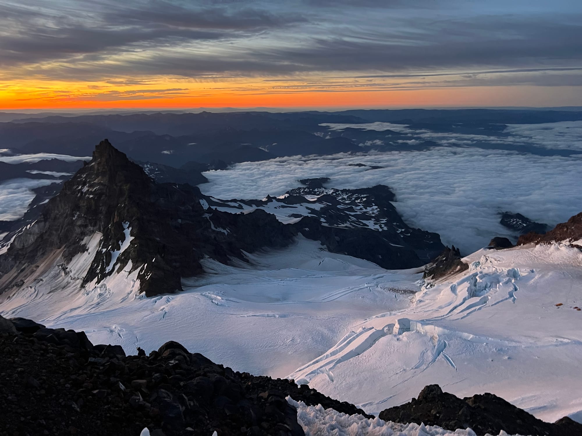
Being on the upper mountain for a prolonged amount of time, working hard at altitude, increases risk and lowers safety margin. Taking newer climbers up a big mountain like Rainier demands a lot of margin for error. That means staying well within our safety and fitness thresholds.
It's important to consider not only the energy it takes to get to the summit itself, but the energy required to descend safely, the energy required to move quickly through areas of overhead hazard, and the energy required to perform a rescue if something goes wrong.
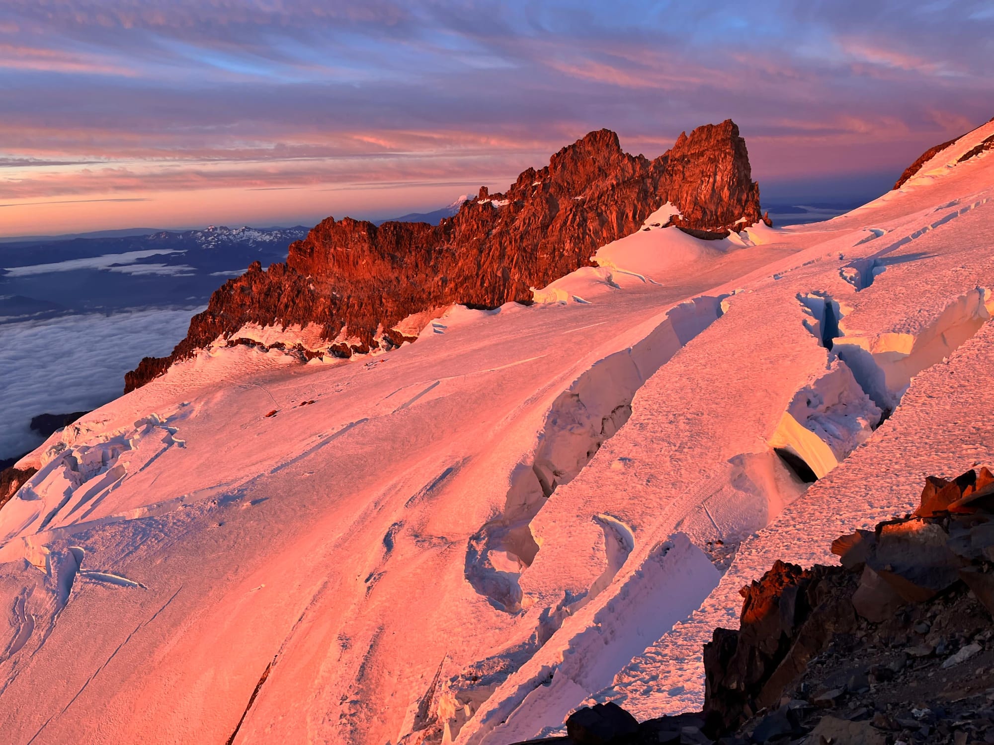
It's hard to turnaround in the face of gorgeous route conditions and weather. Yes, the mountain will be there– but will the glaciers? If my life circumstances shift and I am not able to return for 20 years, will there be more loose volcanic rock in lieu of what was once an easy snow climb? Will old timers tell me how much simpler of a climb it was back in their day?
Within the lifespans of PNW mountaineers, there are already climbs that have increased in difficulty due to receding glaciers revealing chossy glacier moraine rock (Mount Daniel via the Lyman Glacier and Whitehorse immediately come to mind). Other more technical climbs have gotten harder due to rockfall breaking critical holds (like Vesper Peak's Ragged Edge or Dorado Needle).
That's not a good reason to not turn around. I always tell myself I'm only going up to "check things out", Fred Beckey style. But leaving climbs unfinished in the face of a climate crisis does brew anxiety for me.
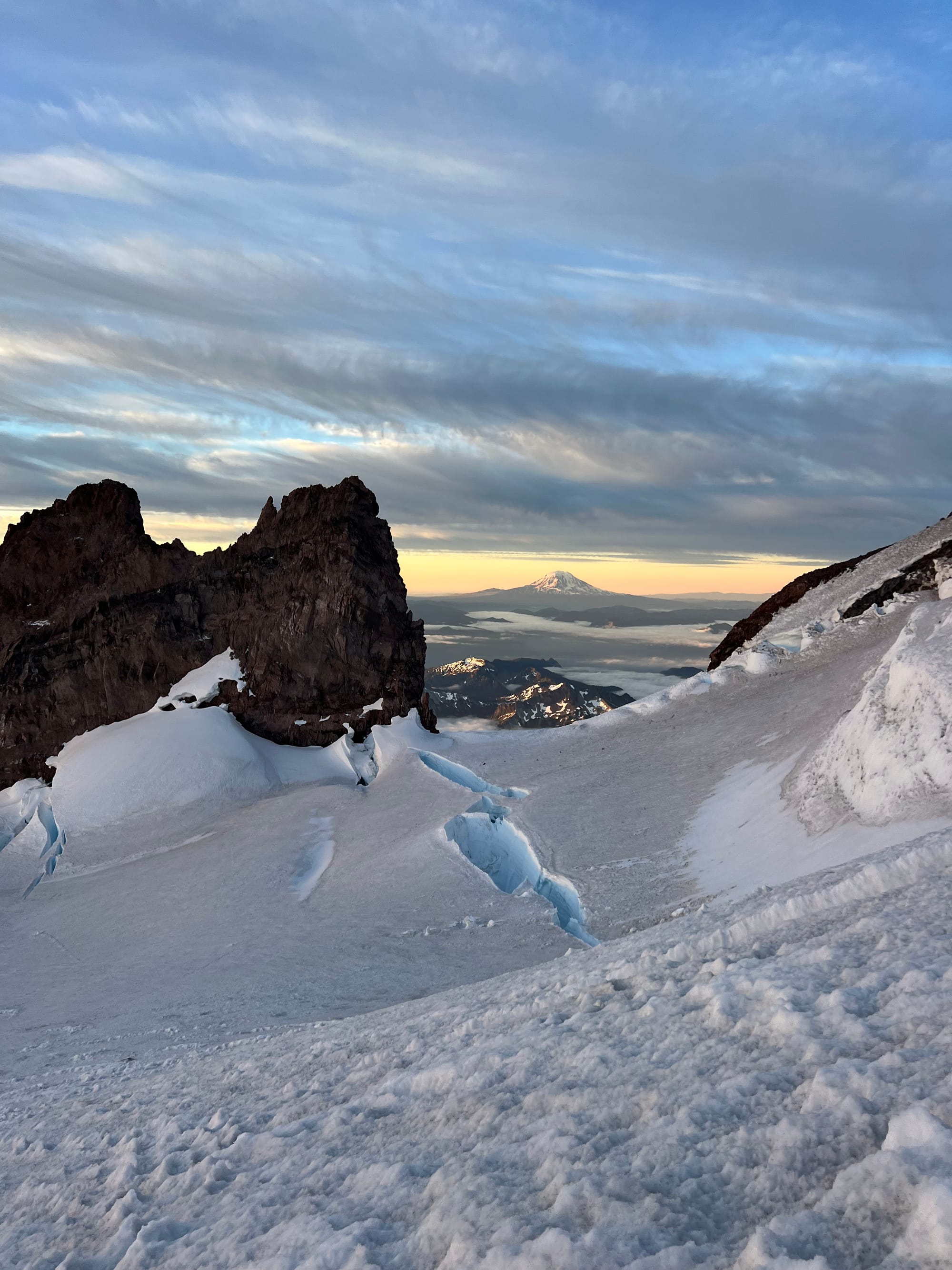
Receding glaciers aside, who doesn't like to summit? I do get summit fever.
Seattle summer is busy and there are only so many prime climbing weekends (and they tend to fill up quickly). Permits are difficult to come by on summer weekends, and I have an 8-5 and limited PTO. Turning back means delaying the climb (and in this case, finishing my WA volcanoes) an entire year.
On Rainier, waiting until next season is also expensive. Seasonal climbing permits and overnight permits total up to ~$100. Both are required to climb (even for car to car single push attempts).
Sometimes in mountaineering you just have to feel your feelings and make the decision that's best for your team (so, not Fred Beckey style after all). Sometimes that is pushing on and embracing suffering; sometimes that is staying conservative and descending to climb another day.
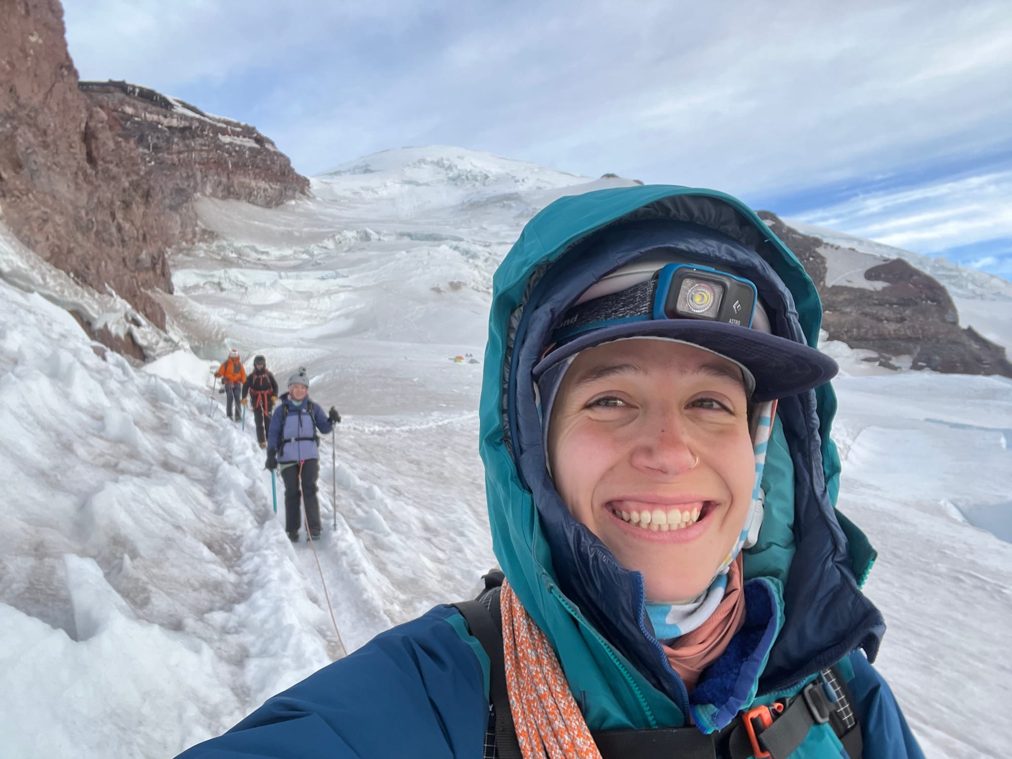
In the face of an unfinished objective, it all feels so dramatic– will we ever get such ideal weather and route conditions again??? Probably, it's the Pacific Northwest.
Yes, the glaciers are shrinking and fire season is growing but our summer will boast many ideal climbing days. If you can sacrifice the PTO, midweek permits are easy to come by. If you can't swing the timing this year, next summer will probably have lots of beautiful days too.
There are mountain guides with 100-500+ Rainier summits for a reason. It's a big mountain that demands respect, but it's no Everest where even the most experienced Sherpas have less than 30 summits.
Another weather window will come.
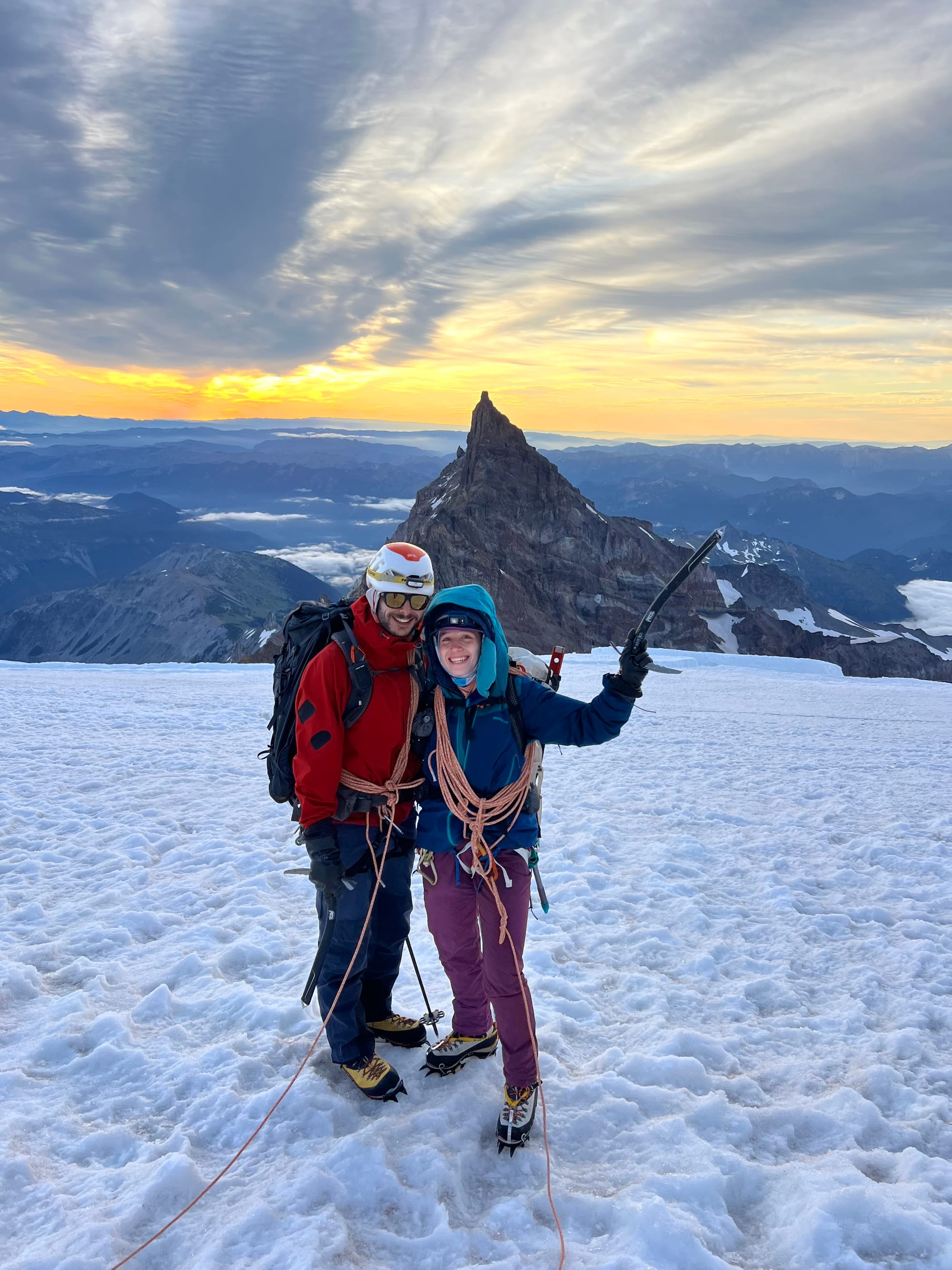
Alex and Meredith did great for their second ever mountaineering objective. Rainier is a big mountain with exposure and lots of overhead risk. They handled every challenge with tenacity and grace.
As always, Greg was an incredible partner.
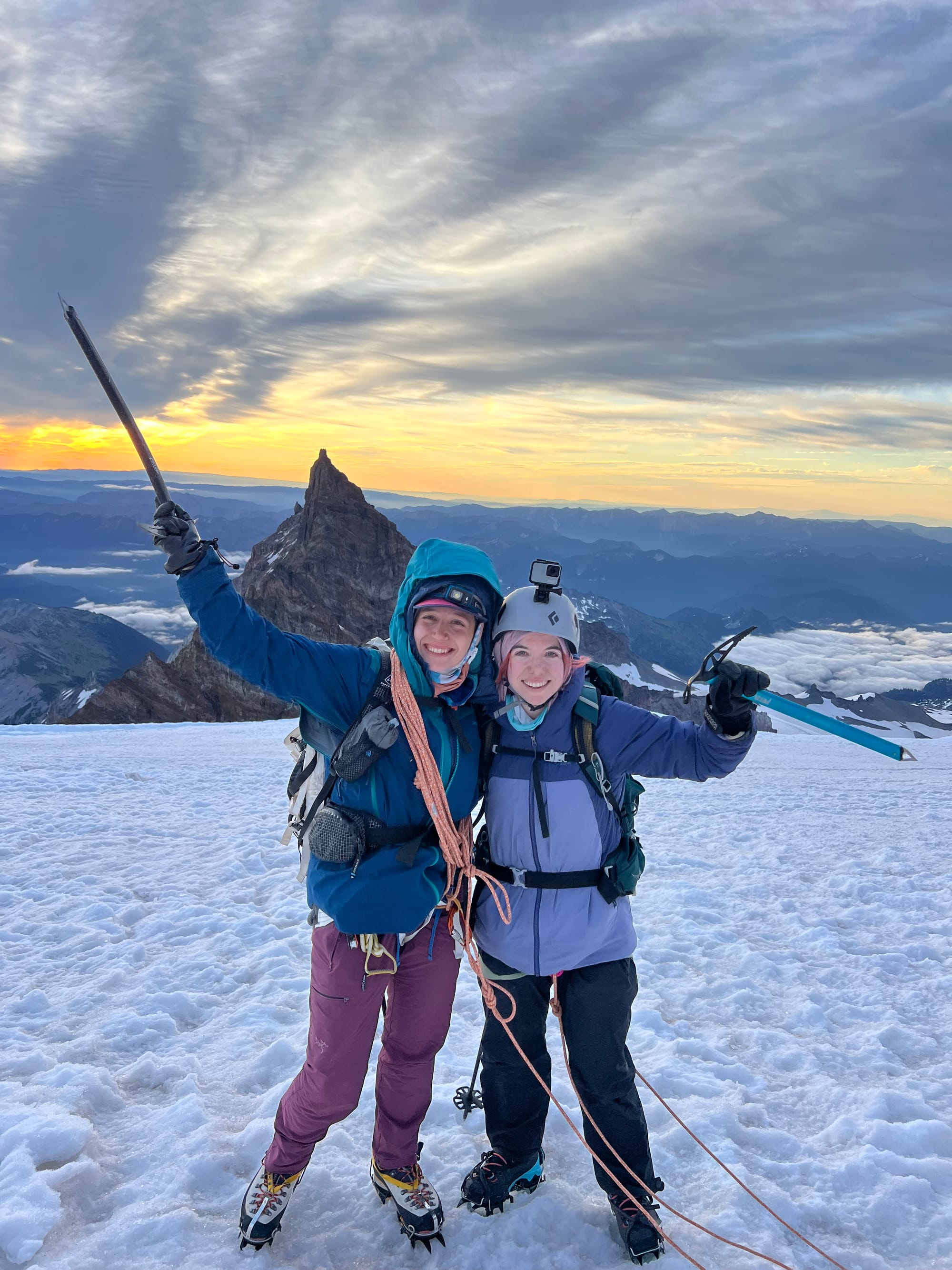
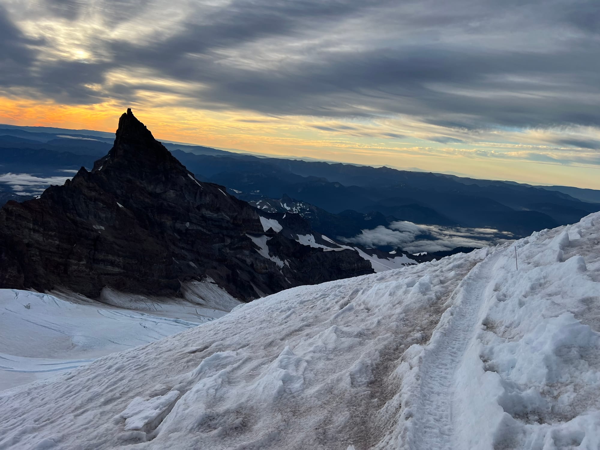
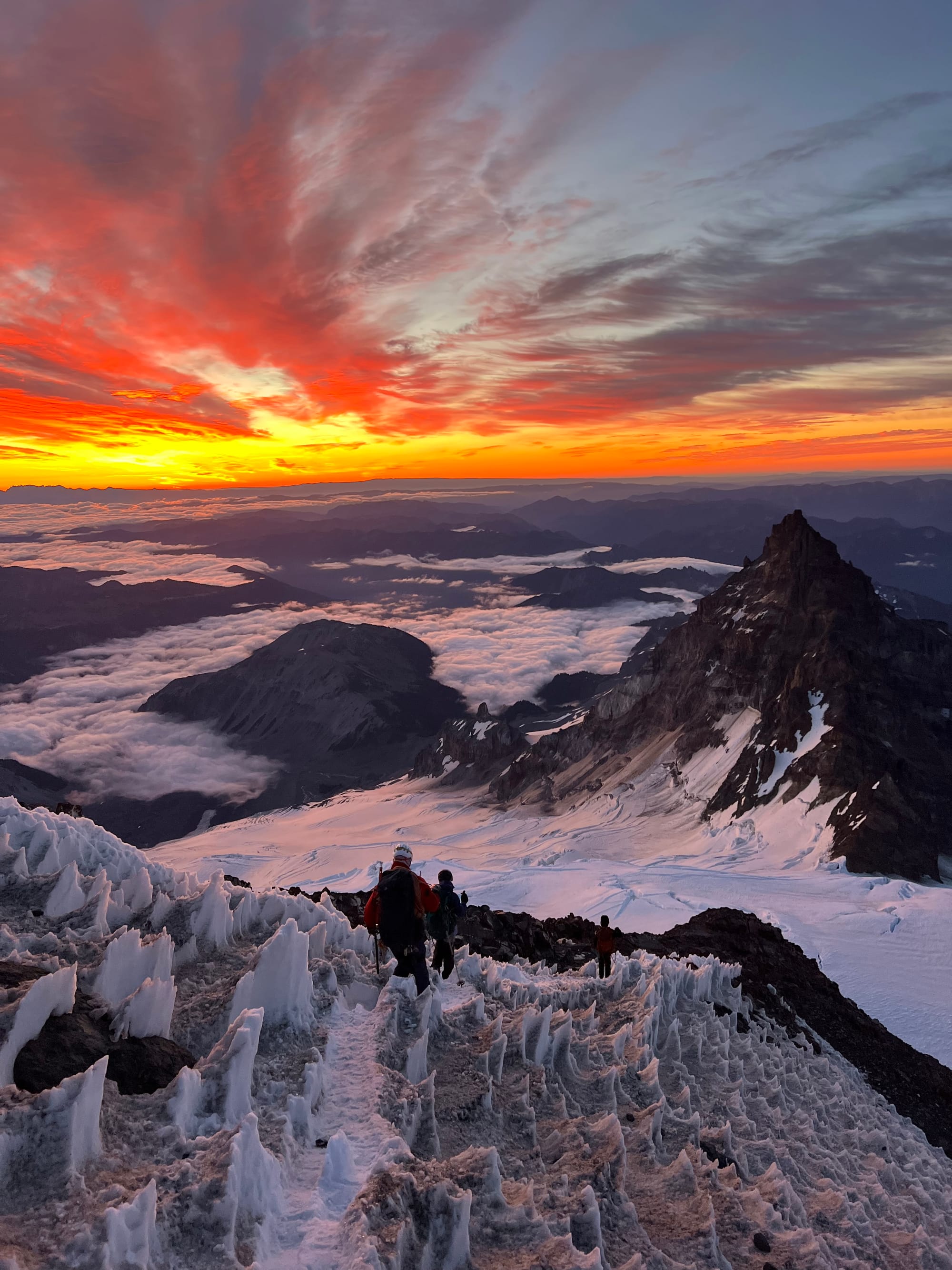
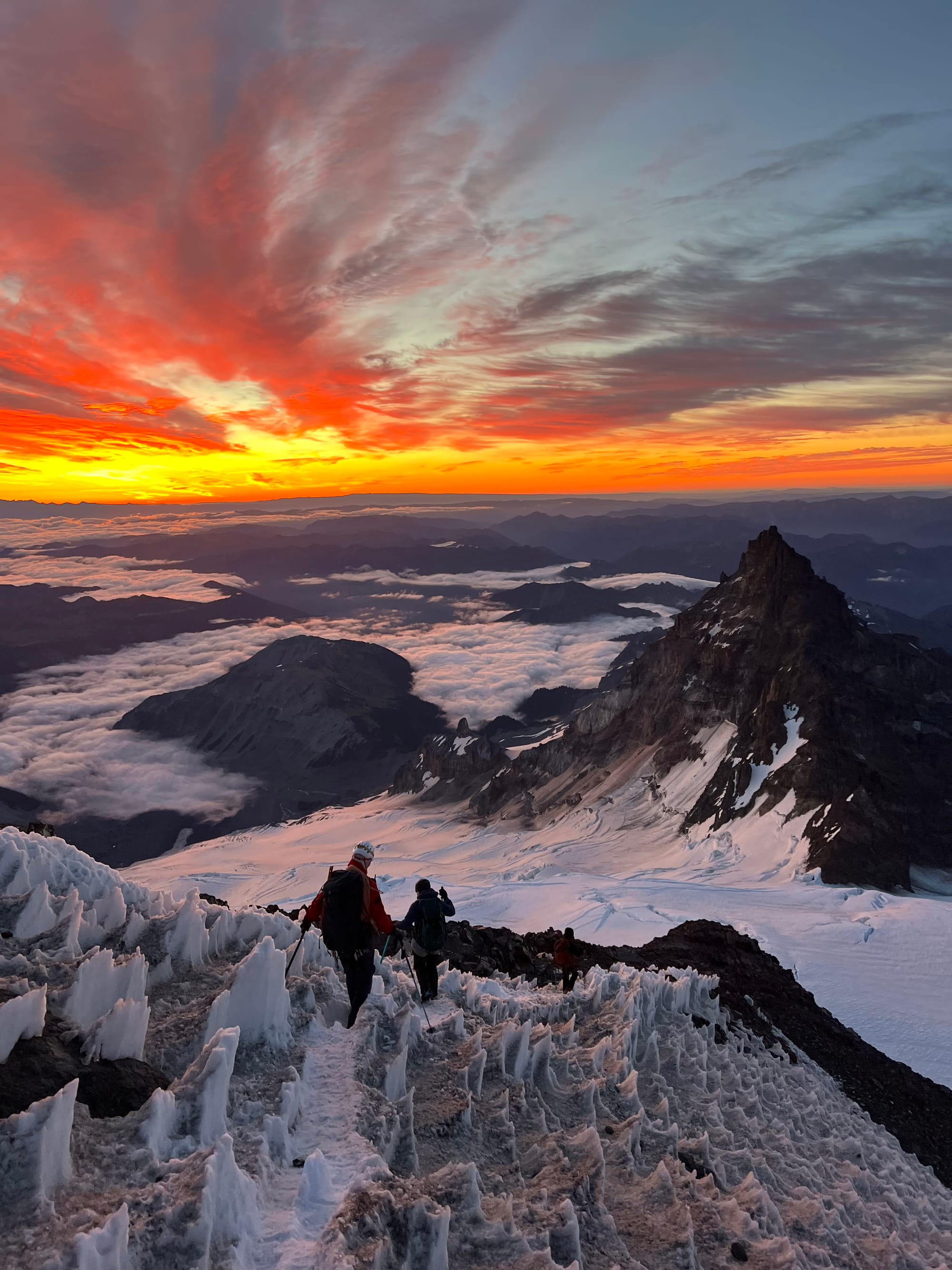
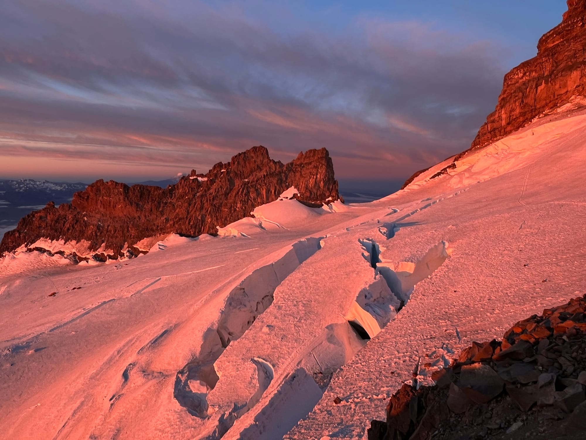
The upper mountain was absolutely otherworldly. I tend to favor the North Cascades, but man, this made me understand the Rainier hype. Yes, it’s the tallest summit in the state. But it just feels crazy up there.
Snow and ice form penitentes, stalagmite looking structures.
No other summit in Washington compares. Mount Baker probably comes the closest, but Rainier is in a league of its own.
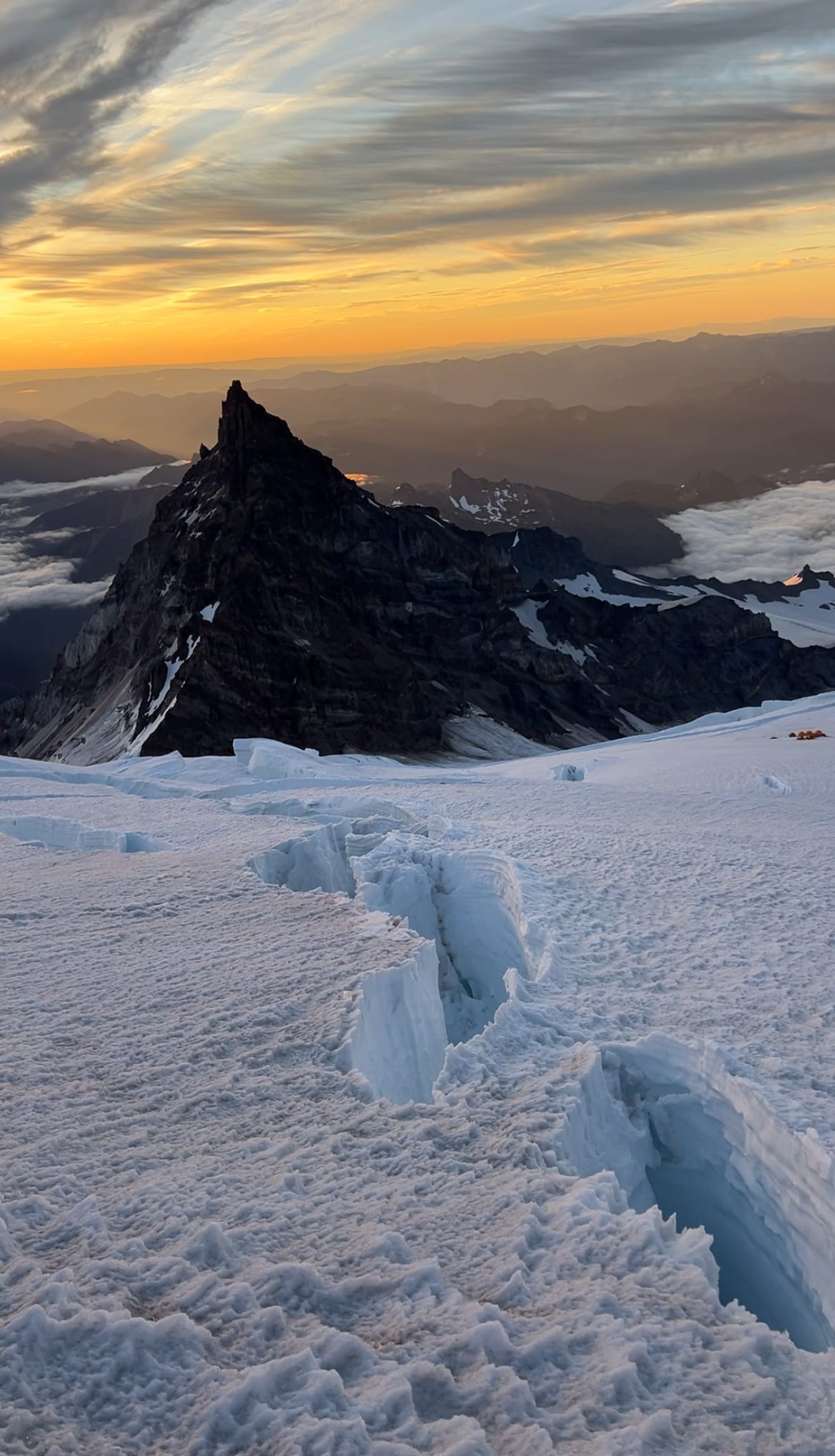
Despite the lack of summit, this trip bolstered my confidence in myself as a mountaineer. I left the mountain knowing I was capable of climbing it. In my head, I had built Rainier up to be the big bad. My final volcano, the final boss. It was a big scary unknown.
I have a healthy respect for this 14,000+ ft mountain, but I also trust in myself now more than ever to return and climb safely, navigating the objective hazards that I cannot control the best I can. With a little luck for the ideal route conditions, weather, team dynamics, and safe passage from the Mountain, I can do it.
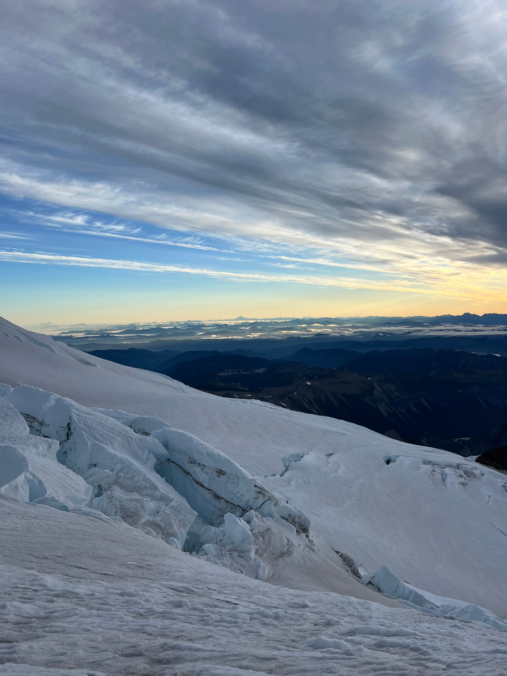
It’s addicting up there and I can’t wait to return.
Lessons Learned:
- The climbing ranger told us it generally takes about the same amount of time to go from Paradise to Camp Muir as Camp Muir to the summit. Most teams summit in 5-8 hours from Muir.
- More climbing ranger advice: shorten the distance between rope team members. We usually do the classic 10 - (# of team members) = arm lengths of rope between climbers. So, for 4 of us, we defaulted to 6 arm lengths of rope between each climber. He recommended we tighten up to 5 arm lengths of rope between us for the DC Route, since the crevasses on route aren't "Alaska size" and it would make passing and team communication easier on a busy day on a busy route.
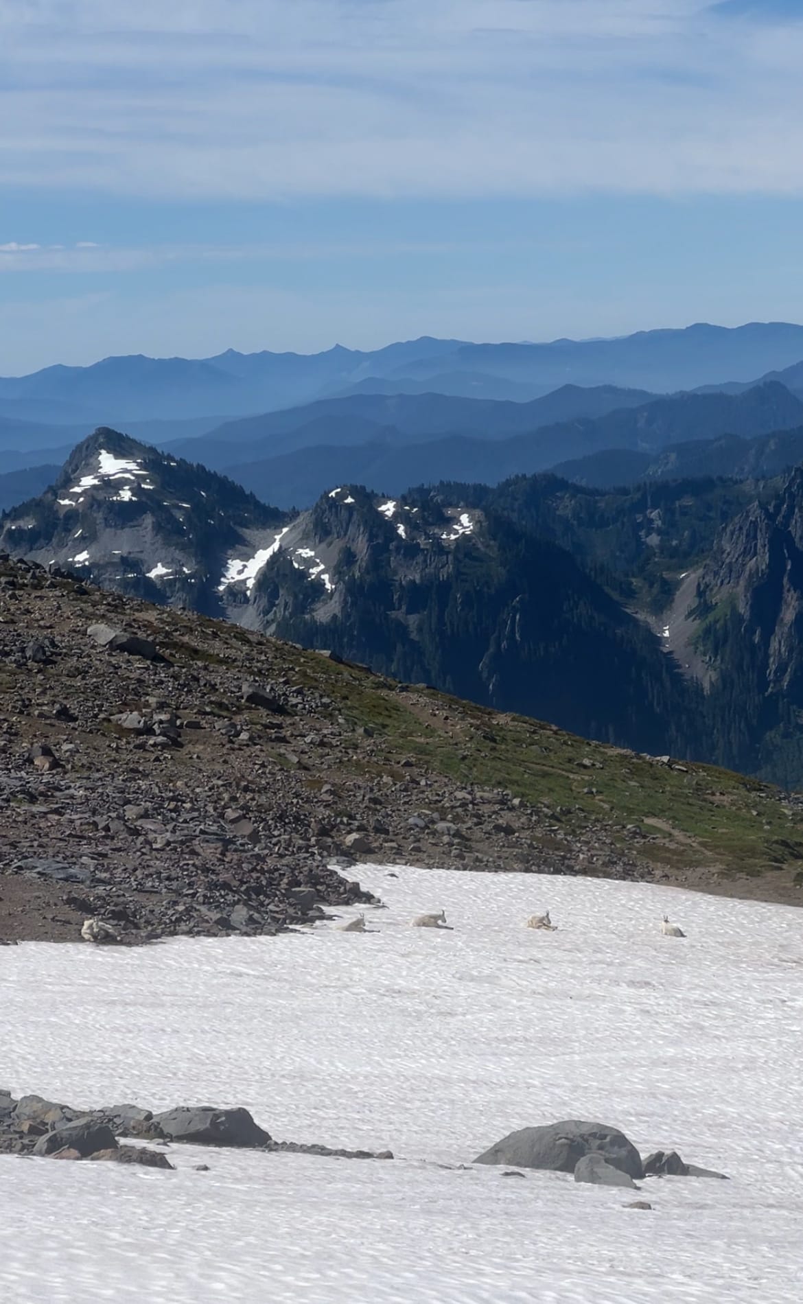
- Upon picking up our camping permit, the Longmire rangers said we didn't need to worry about food storage and that the only critters up at Camp Muir are ravens. They recommended keeping food in tents, out of sight of the birds and carrying our food with us on summit day. I didn't see the ravens during the day, but they came out in the evening as it got closer to sunset.
- The Longmire rangers also suggested flattening the tent/taking down the tent poles and securing the tent with rocks/snow blocks while we went up to the summit. Many tents have blown away into the crevasses of the Cowlitz Glacier.
- Just bring the trail runners.
- We didn't hit consistent snow until the Muir Snowfield, ~2.5 miles in. I didn't have my mountaineering boots laced tightly enough (which probably would have been fine on snow but quickly earned me a blister on the Skyline Trail pavement). Then I had to manage this blister with tape all trip. It was fine, especially while moving on snow but hurt when it rubbed against my sleeping bag or when I had to shove my feet in and out of boots to leave the tent to use the bathroom.
- On our Shasta attempt, I regretted not bringing trail runners when there was only a mile of dry trail (and also having to shove my feet into stiff, cold ski boots every time I needed to leave the tent). If there's at least a mile of dry trail, I think I'm just going to bring the runners from now on. I always regret not bringing them, they're not that heavy, and I'm big and strong.
- Secure everything– leave nothing unsecured for even a moment.
- Even when it feels calm up there, the winds are still pretty strong at 10,000 feet. I was kneeling on a foam sleeping pad, using our stove to melt snow for water. I stood up for just a few seconds to grab an Aquatab and a light gust of wind immediately blew the pad away. Greg saw this and leapt out of the snow pit he was working on for our tents to football tackle the pad before it could disappear into a crevasse of the Cowlitz Glacier. My hero! He looked very cool, but I felt like an idiot.
Beta:

Latest climbing conditions per Rainier Climbing Rangers. Another incredible resource!

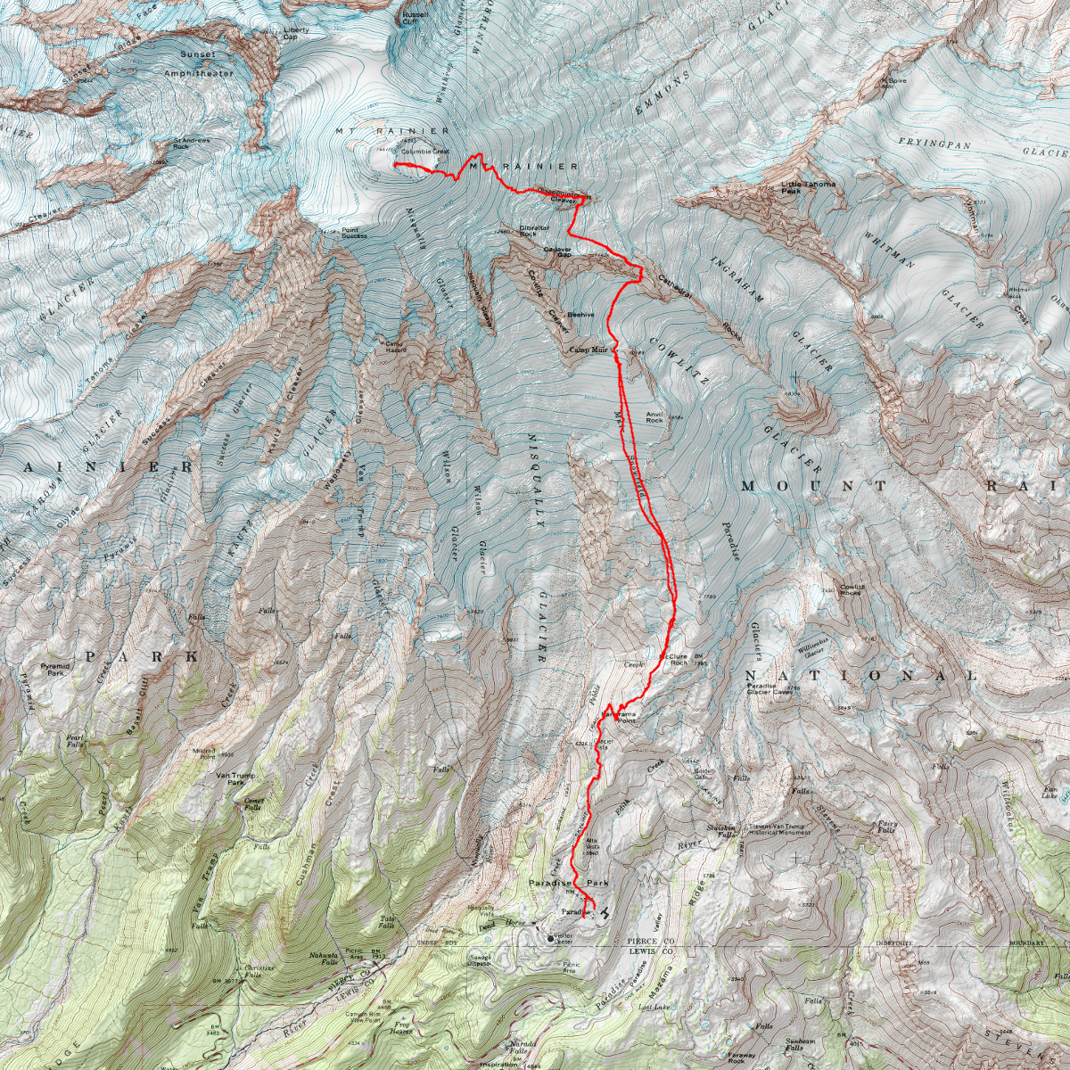
The actual route is always changing based on ever changing glacier and crevasse conditions (sometimes the route stays direct, sometimes it moves off to the Emmons shoulder, etc). The current route will likely be difficult to miss- it is a trench of a bootpack and marked with wands by the guide service. Be prepared to make your own safety assessments.

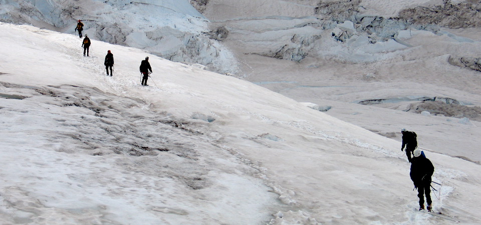
Logistical info on required permits, etc.



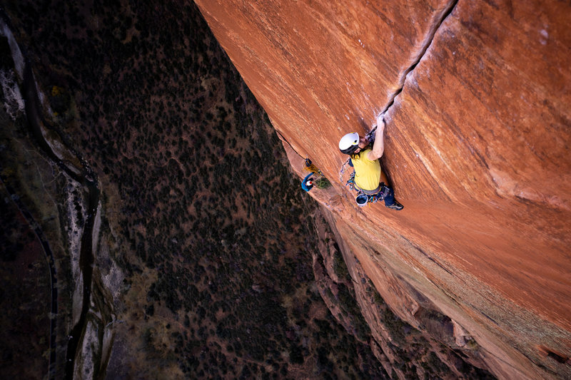
Helpful tips and info
 juliagoesmountaineering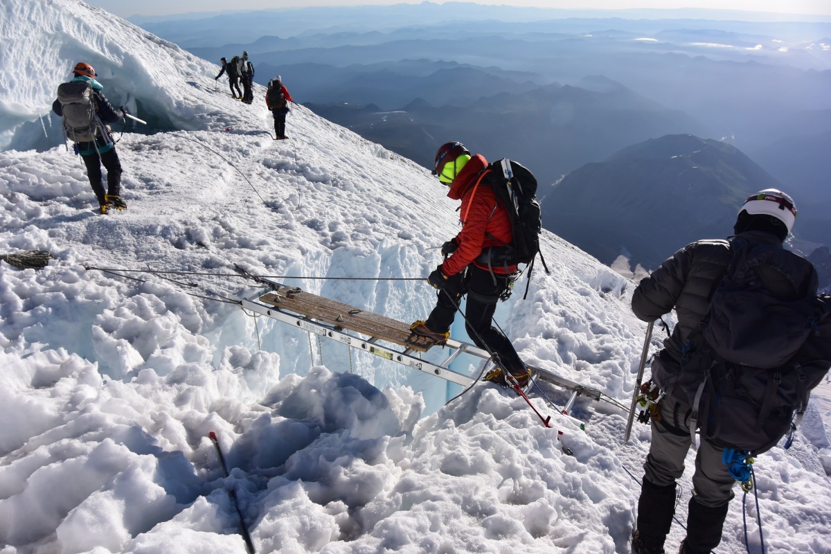
 Lucas Peterson
 Ryan Mullen
Gear:
- Petzl RAD line 6mm 60m rope
- Blue Ice harness
- Grivel crampons and lightweight crampon bag
- Petzl Summit ice axe
- Yates mid-clip picket
- Nanotraxion on a locking carabiner
- Tibloc and pulley on a locker
- Spare locker to transfer the load of a fallen climber to the anchor
- Spare locker to supply "drop C" to fallen climber
- Sling to deadman anchor the gear you use to pad the crevasse lip (so it doesn't fall onto the climber in the crevasse)
- Belay device capable of guide mode (in case you need to ascend out of the crevasse). I used the Grivel Scream because it's compatible with our 6mm rope
- Sling on a locking carabiner to use as a foot loop (with your tibloc) to ascend the rope out of the crevasse
- Sling to extend your rappel
- Helmet
- Glacier goggles
- Hyperlite Headwall 55L backpack
- 20 degree sleeping bag
- Nemo inflatable pillow
- Nemo Tensor Extreme sleeping pad
- Nemo Dragonfly tent
- FMS-300T stove and fuel (not recommended for use in high winds, but I used it in our dug out snow pit and it was fine)
- Silicone Hydrapak Seeker water bladder (2L) and 500ml shoulder bottle
- Water purification tabs
- Lots of food and snacks that are easy to eat while moving
- Eating utensil
- Hiking poles
- Mountaineering boots
- Buff
- Spare socks, sunshirt, and pants
- Puffy, fleece, hardshell
- Sun gloves
- Waterproof gloves
- Warm gloves
- Garmin inReach
- Headlamp and spare batteries
- Radio
- Earplugs for sleeping at a noisy climber's camp :)