To Do: Sea to Shining Sea
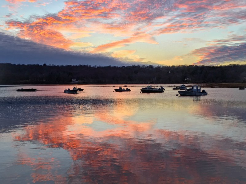
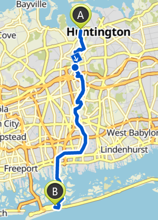
I created a ~27 mile route from the north shore of Long Island (Cold Spring Harbor State Park) to the south shore (Jones Beach State Park).

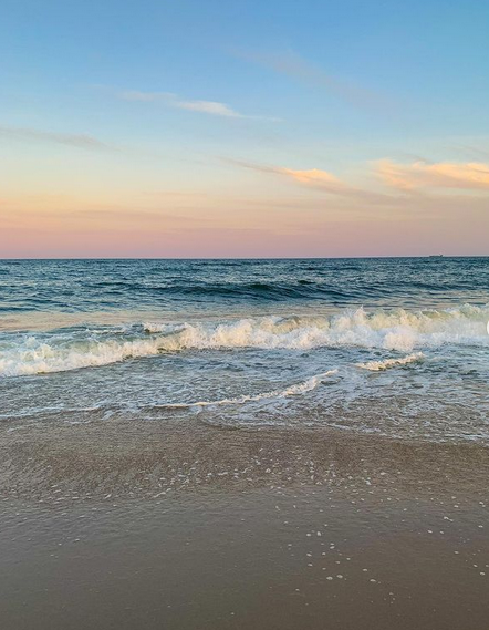
I created a ~27 mile route from the north shore of Long Island (Cold Spring Harbor State Park) to the south shore (Jones Beach State Park).
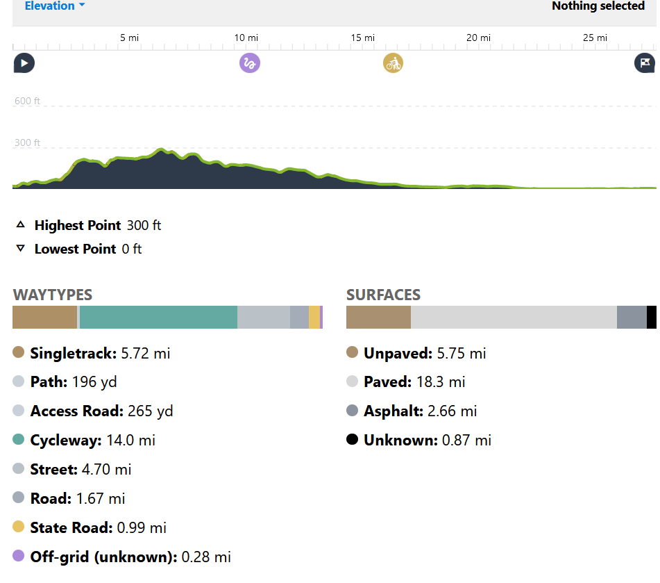
There is ~475 feet of elevation gain.
I would want to do this route as either a run or a bike ride. The current route is mapped as a bike ride, but a run/hike would allow me to take more trails and less roads. The Greenbelt Hiking Trail connects directly to Cold Spring Harbor State Park, but I did not include this trail in my initial route because I'm unsure if bikes are allowed.