Solo Hiking: Whiteface Mountain Trip Report
My first solo high peak!

Whiteface Mountain
8/11/2020
My first ever 46er and my first solo high peak! My mom says that she and my dad had taken me here as a baby too. I parked at the trailhead near the Atmospheric Research Center, so I think this was a different start than last time.
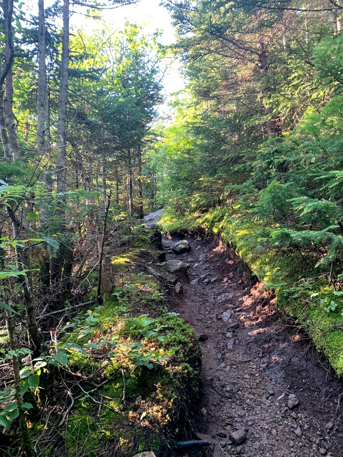
After a brief downhill, the trail flattens and then begins a steep, unrelenting uphill climb. This portion of trail definitely earns its "misery mile" reputation. It was about 7AM and I was already dripping sweat on this hot, humid day.
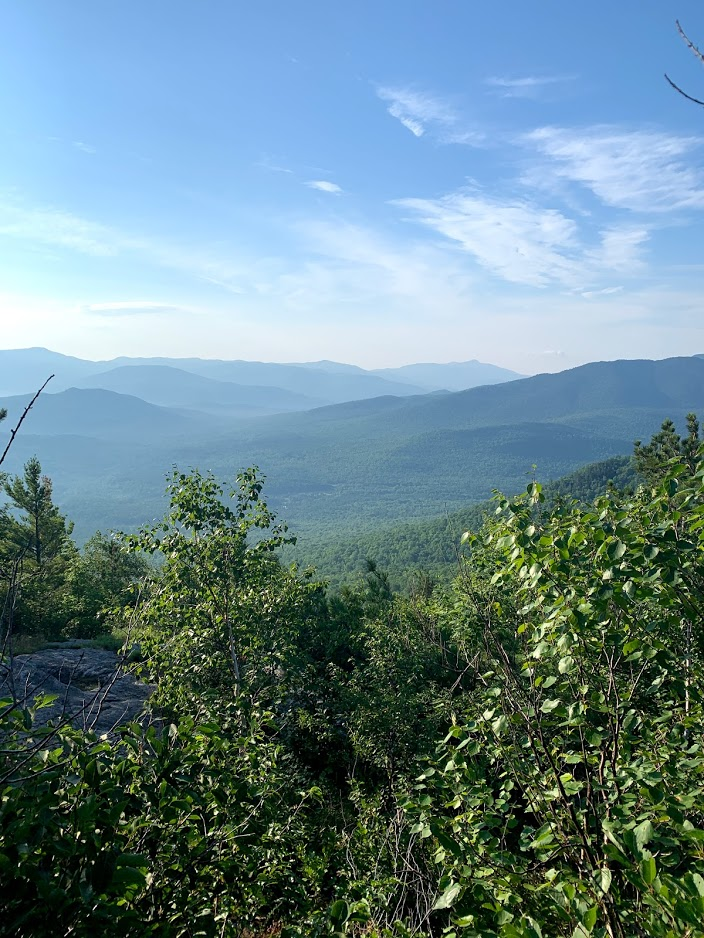
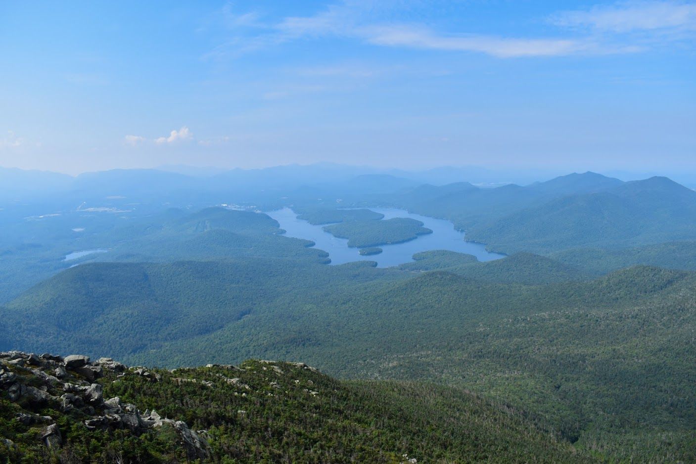
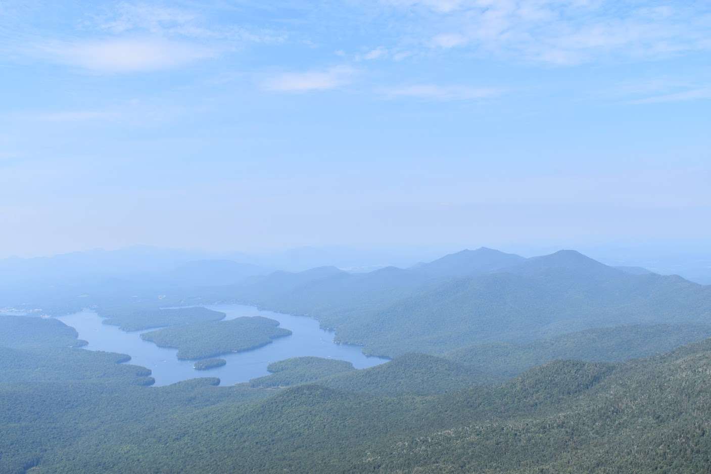
Eventually, I made it to Marble Mountain and received some well-earned hazy views. The last time I was on Whiteface, it was a whiteout so it was nice to get to see the vistas this time. I took a break, found some Sprint cell phone service, and then continued up the trail.

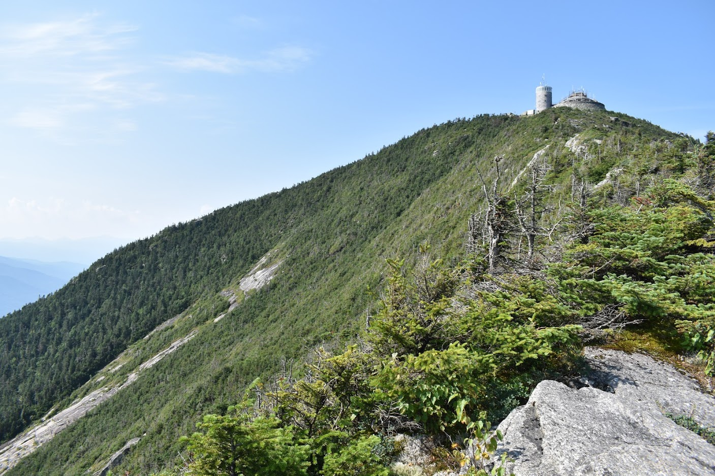
Before climbing up to the ridge, you get to briefly pass the Whiteface Veterans' Memorial Highway. There were some people who had drove up hanging around the road adjacent to the trail and one man called out, "A mountain climber!" when he saw me.
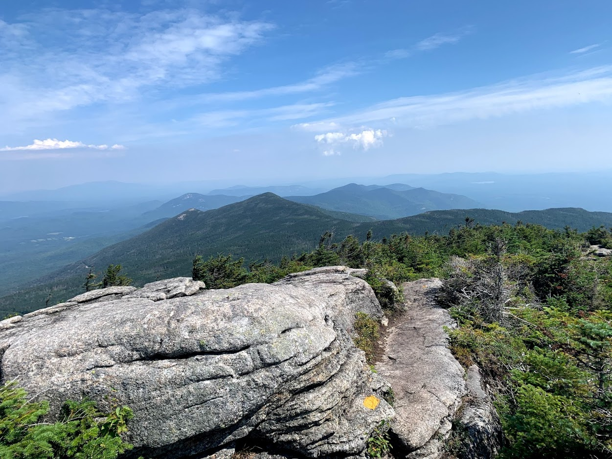
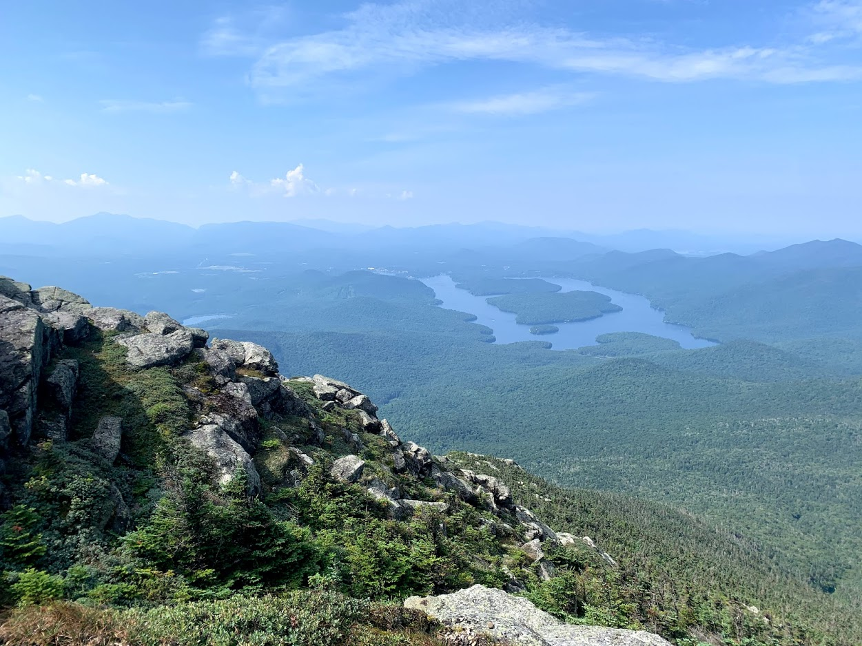
I said hello and continued on, finally to the ridge line! It was super fun to take in the open and hazy views.
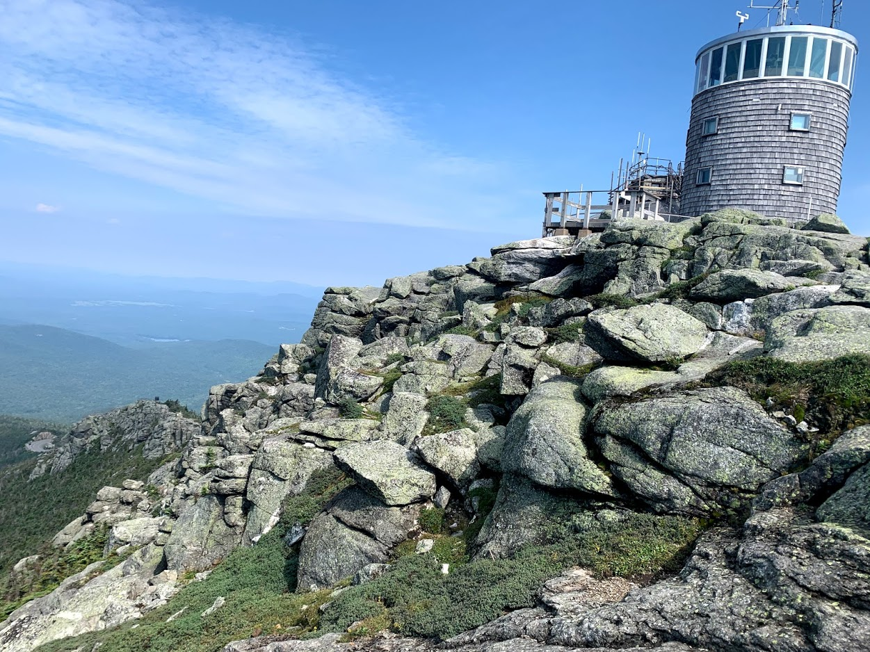
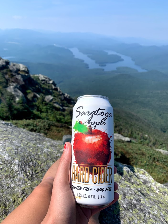
I was soon on the summit. I took some photos, ate snacks, and celebrated with a summit cider from the farmer's market.
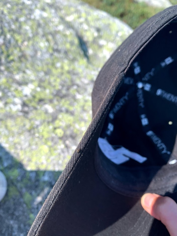
I found a tick on my hat!

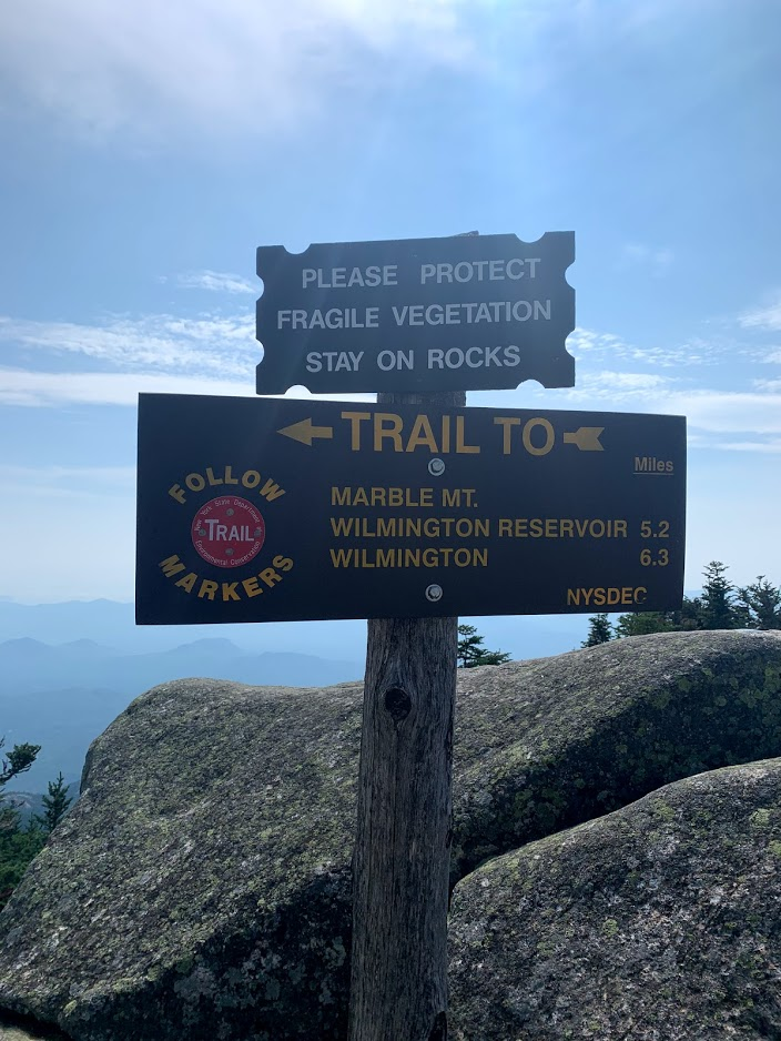
You can protect the fragile alpine zone by only walking on bare rocks!

I was a little tipsy from my one summit cider and rolled my ankle on the way down, so I skipped Esther Mountain.
Mileage: 7.88 miles
Elevation Gain: 3,285 feet
Total Time: 5:34:14
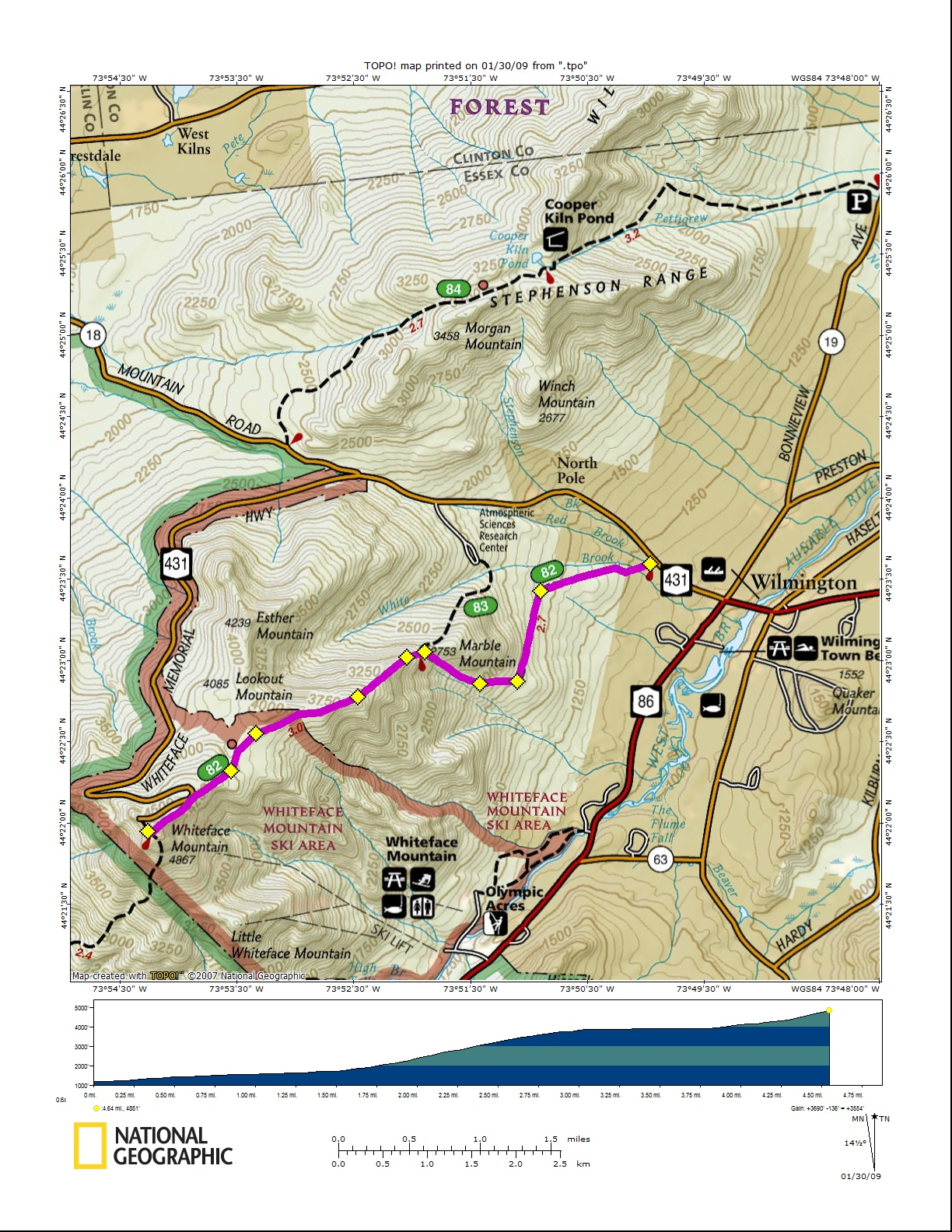
Map: