Climbing Colchuck Peak (June 2026 Trip Report)
A fun day in the Enchantments for Alex and Meredith’s first mountaineering trip!


Sunday, 6/7/2026
Stats: 16.51 miles & 6,328 ft of elevation gain.
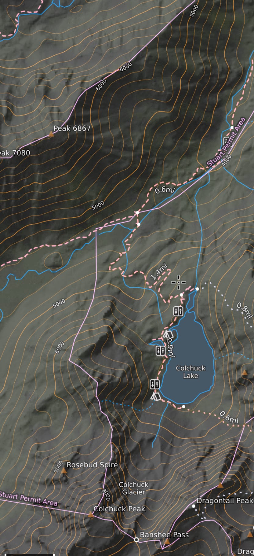
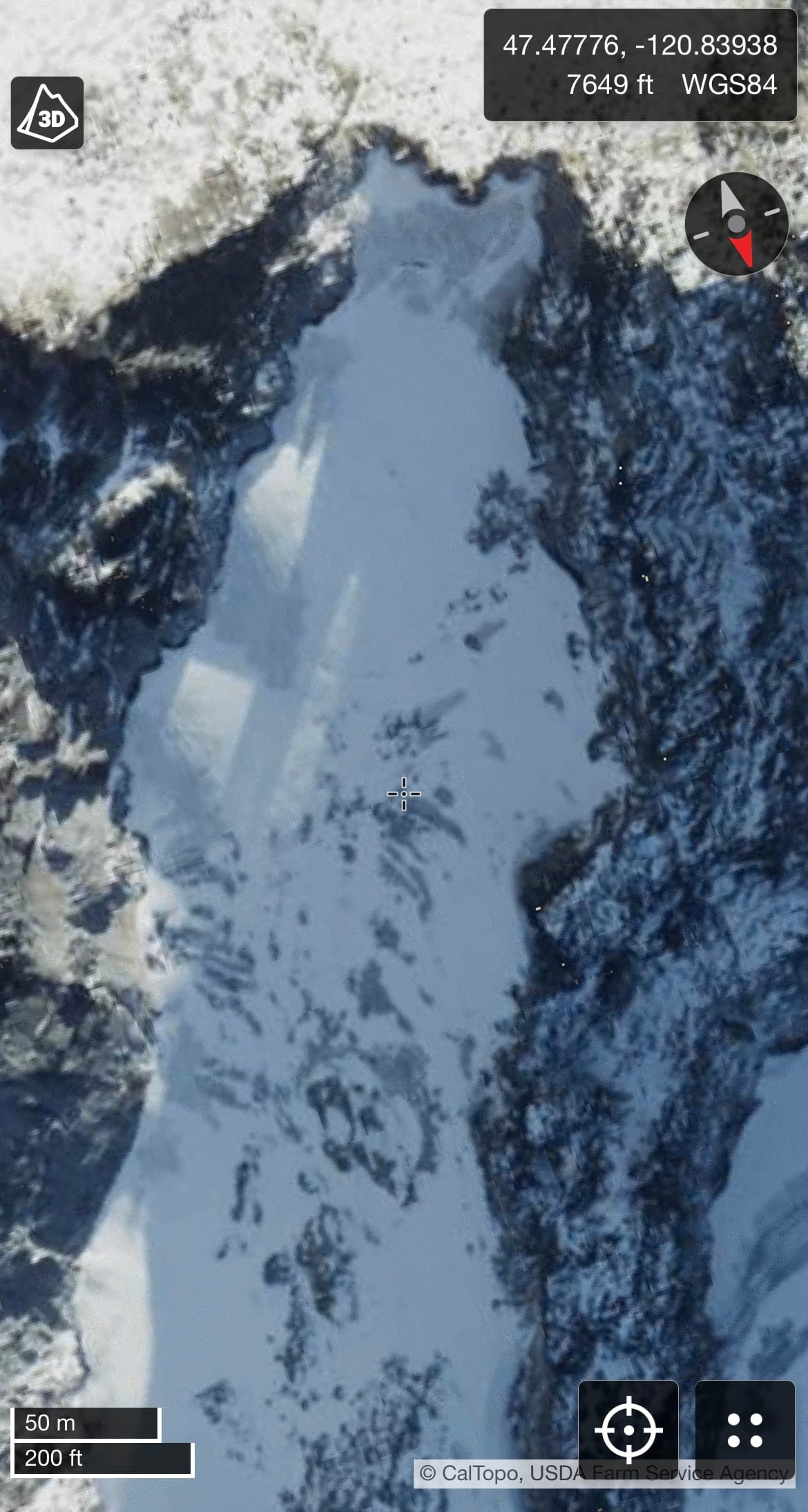
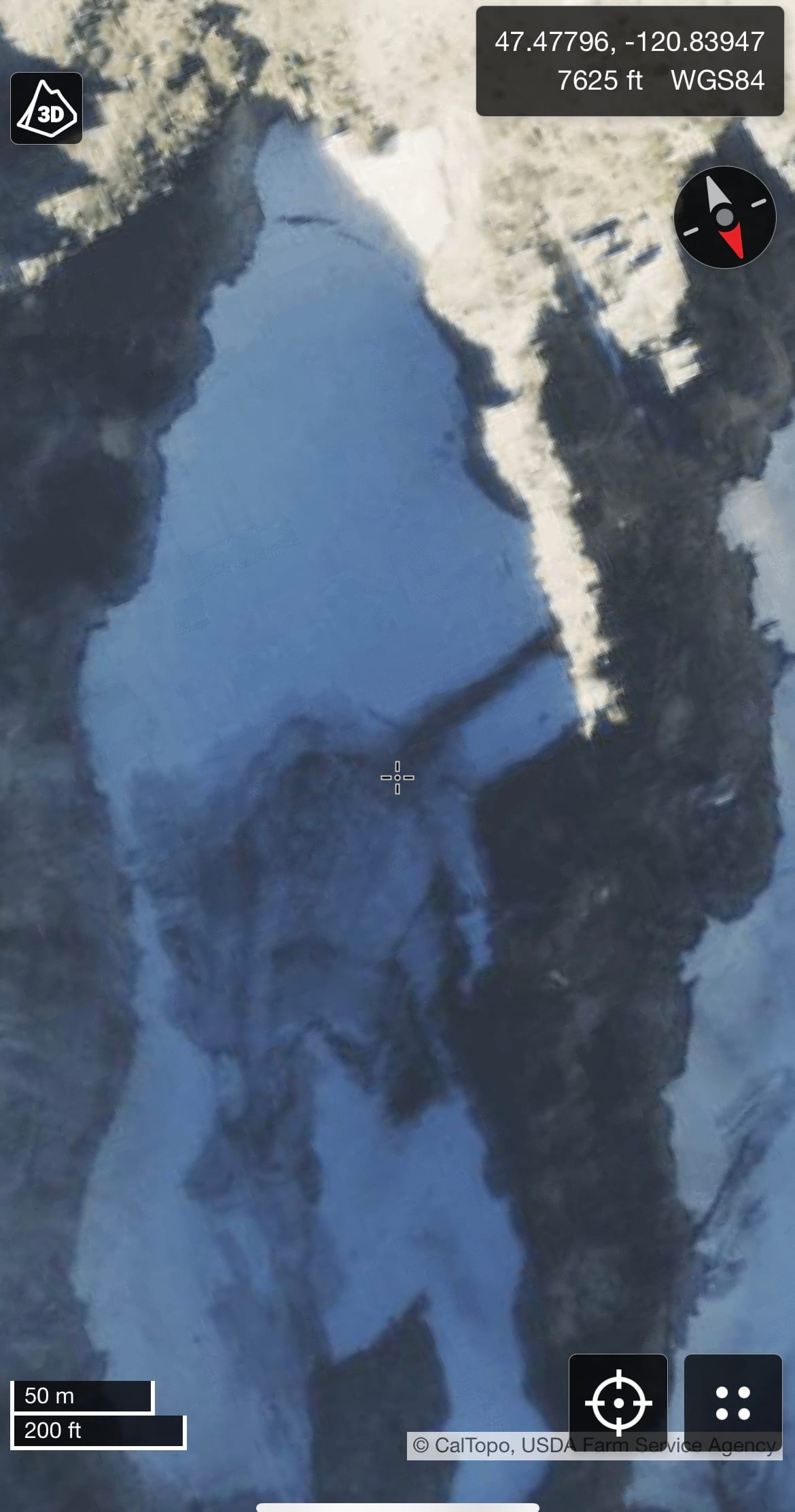
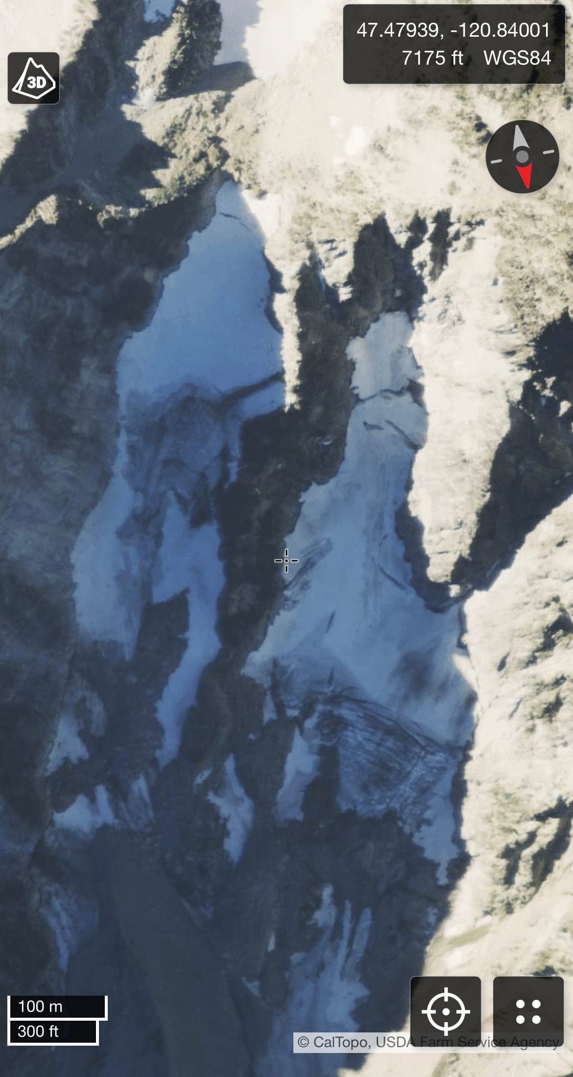
Map:
Route Description:
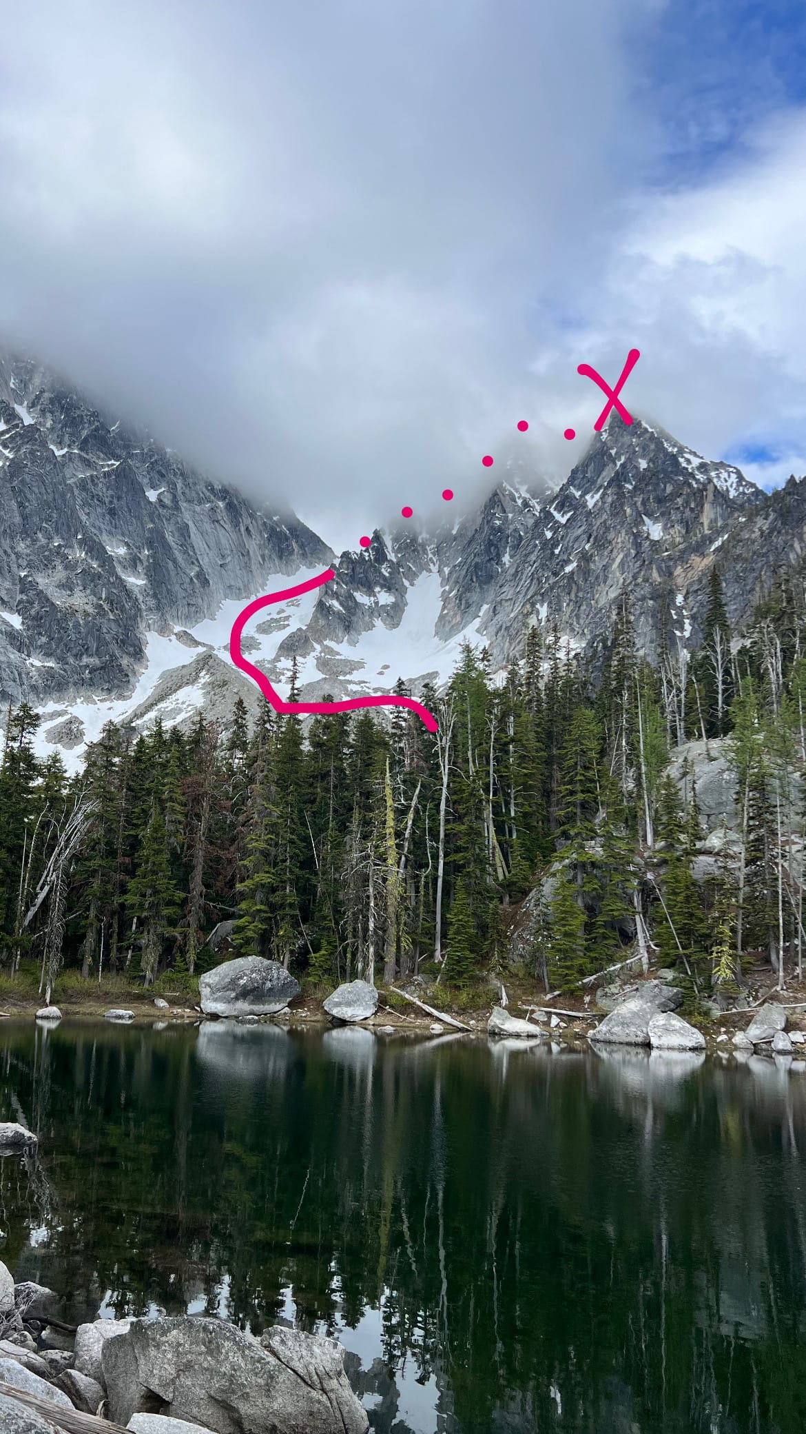
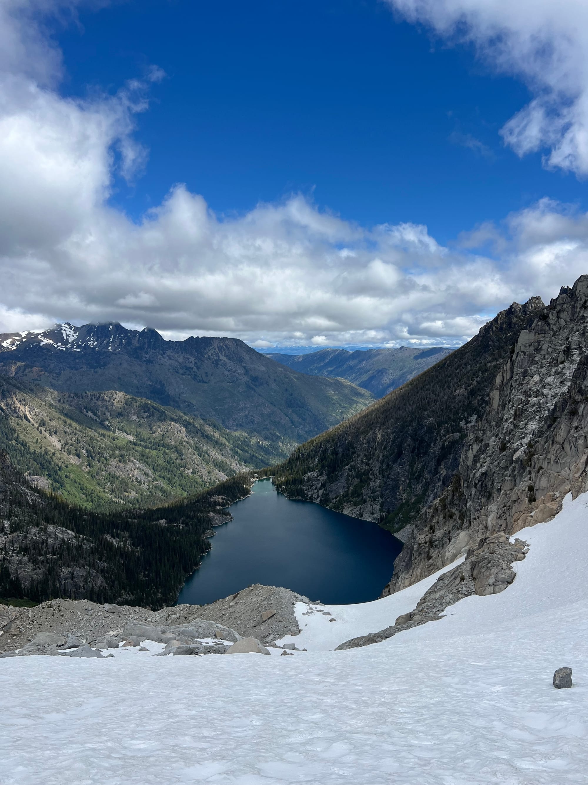
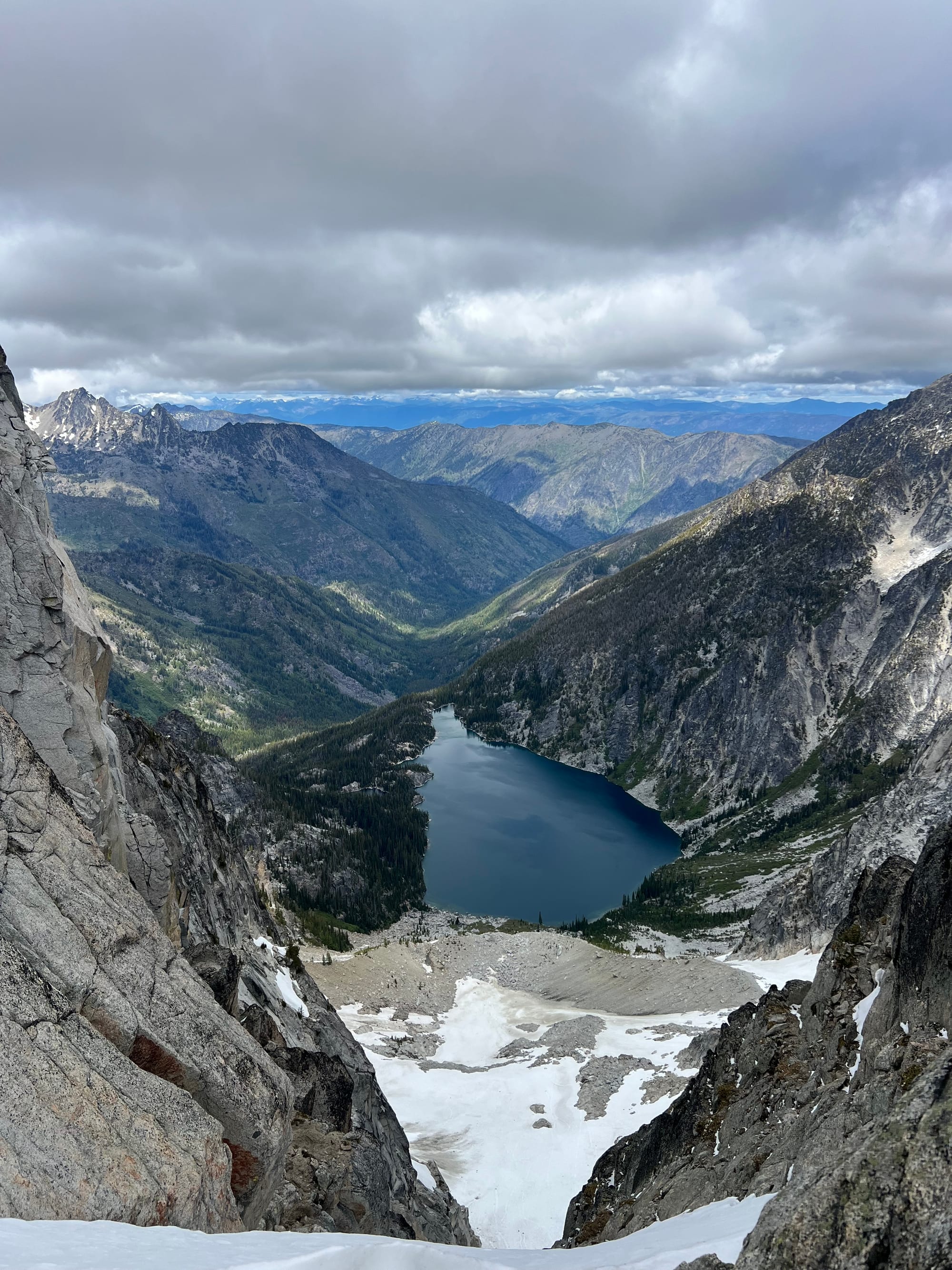
Beginning at the Stuart Lake Trailhead, hike to Colchuck Lake. Continue towards the southern end of the lake, then begin climbing up the boulder field towards Colchuck Glacier.
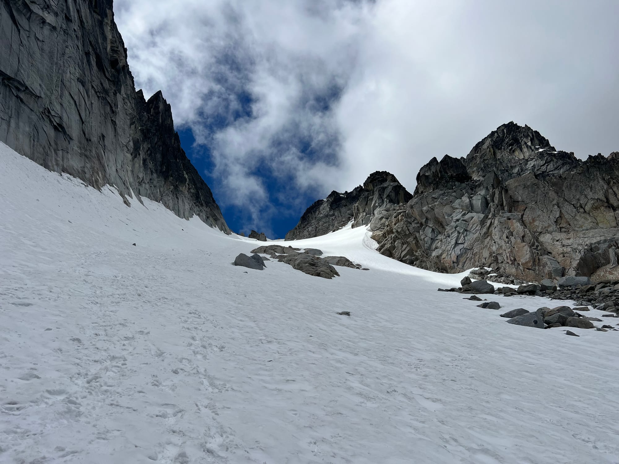
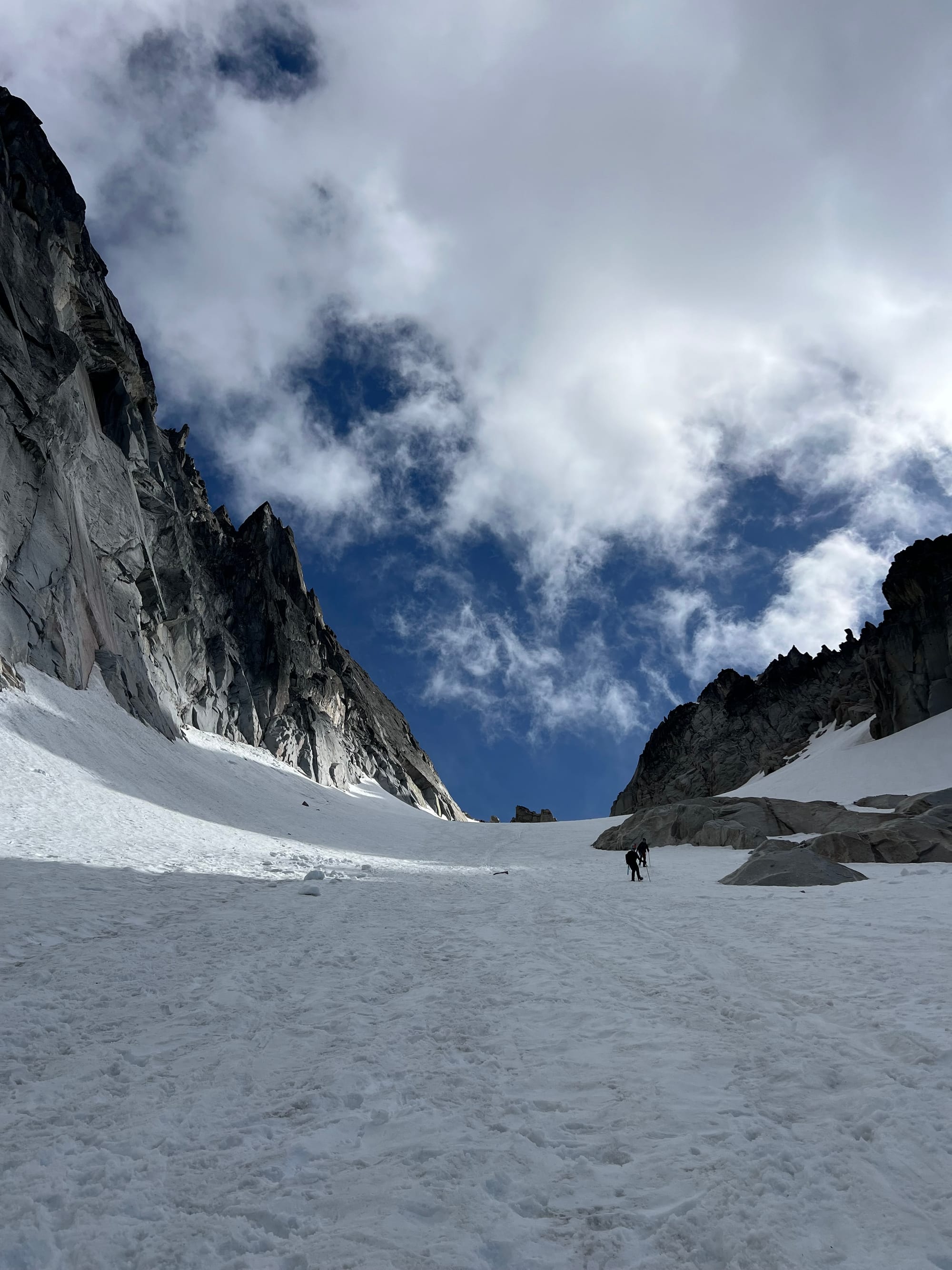
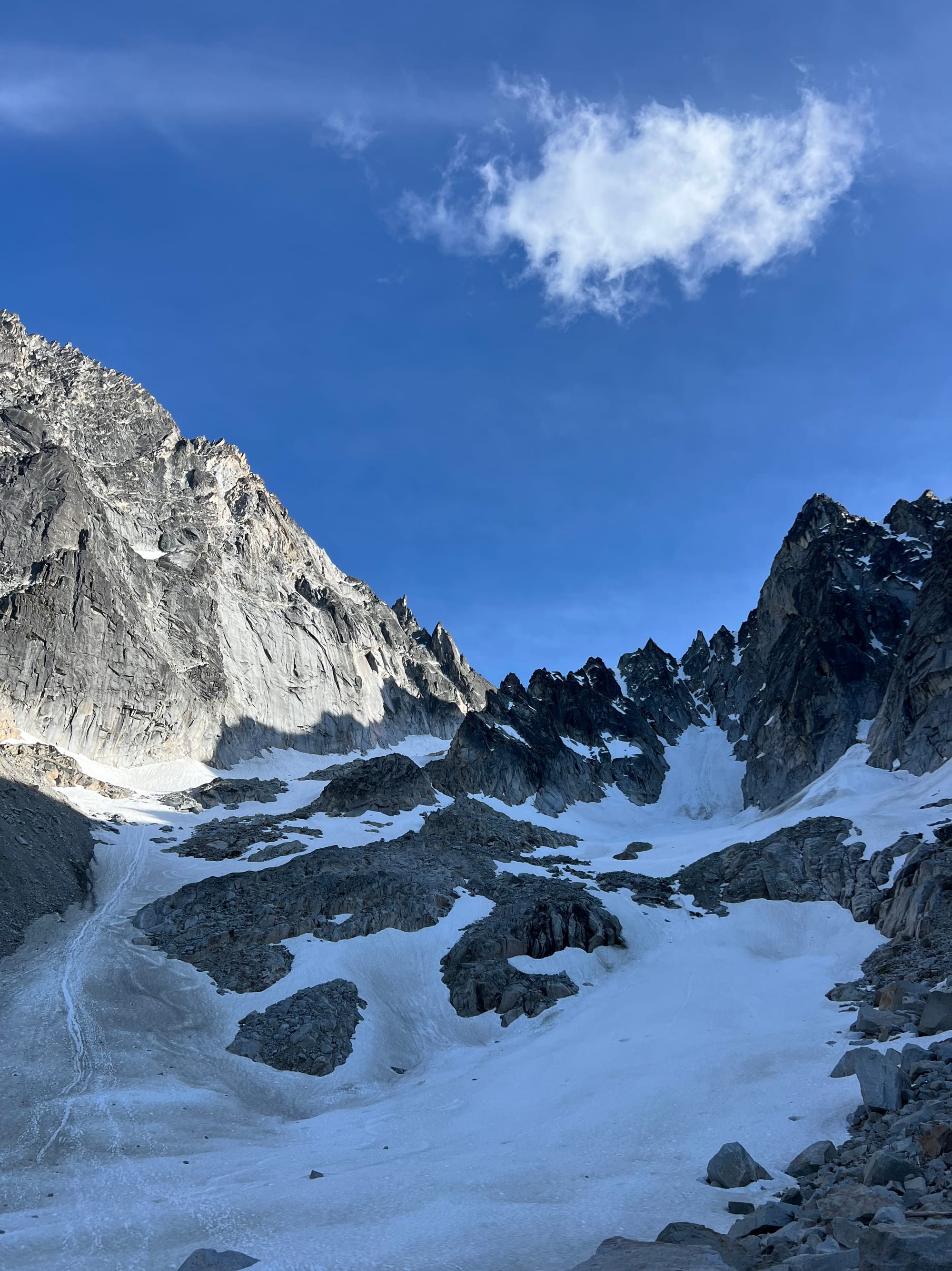
Ascend the glacier, topping out the headwall (about 100ft of 40 degree snow) to Colchuck Col/Banshee Pass (names used interchangeably). The glacier turns to steep bare ice later in the summer, so it's most commonly climbed during the early season.
Head northeast along the ridge towards Colchuck Peak summit. Depending on conditions, there might be more steep snow to traverse or light third class but sandy scrambling (the rock can be a little loose). Once you get close to the summit, corkscrew around the back of the peak for the easiest ascent. The short summit block features an easy ramp.
Descend the ascent route or continue on towards Dragontail Peak. Be mindful of rockfall onto the Colchuck Glacier in the afternoon.
Trip Report:
Meredith, Alex, and I started our climb just before 6AM at the Stuart Lake Trailhead. This was their first ever mountaineering trip!
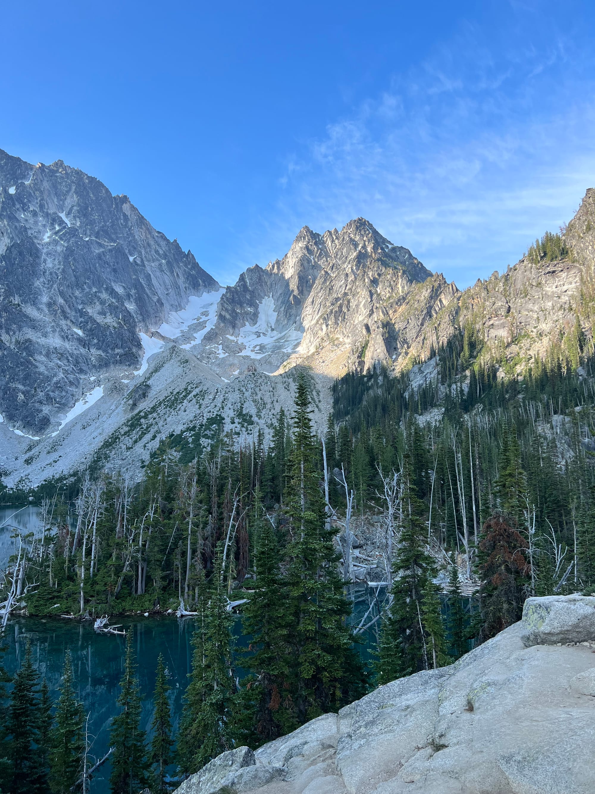
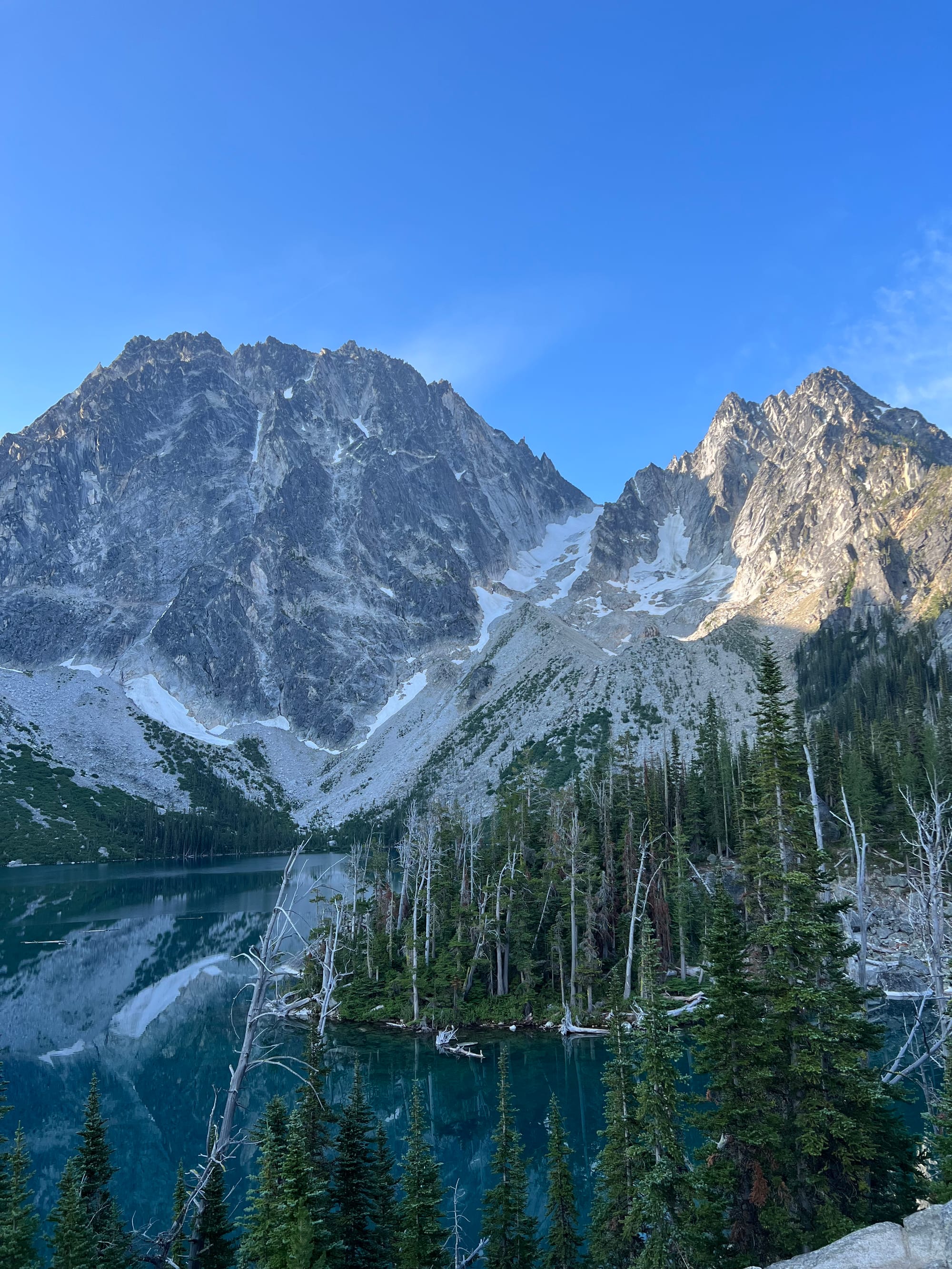
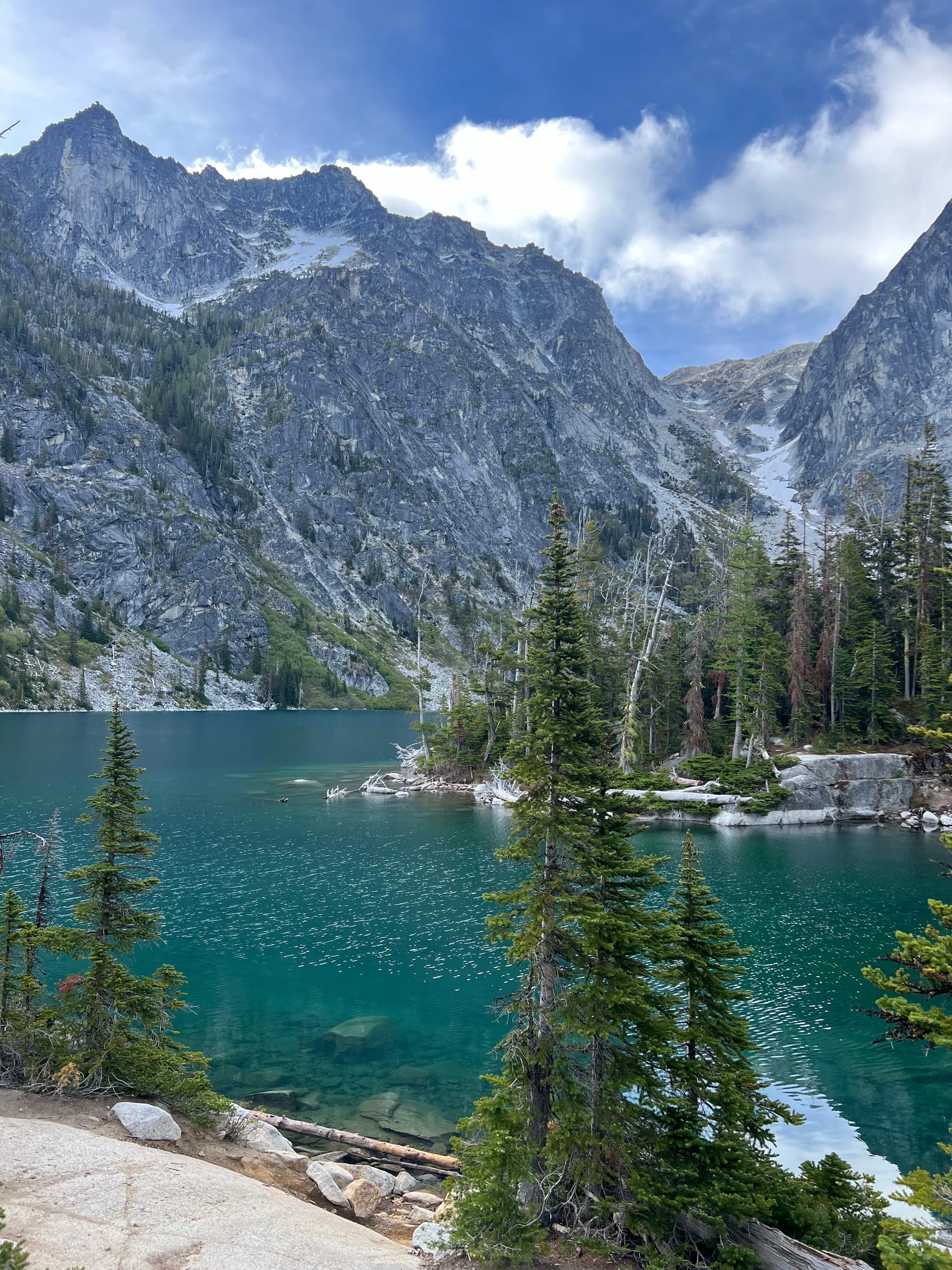
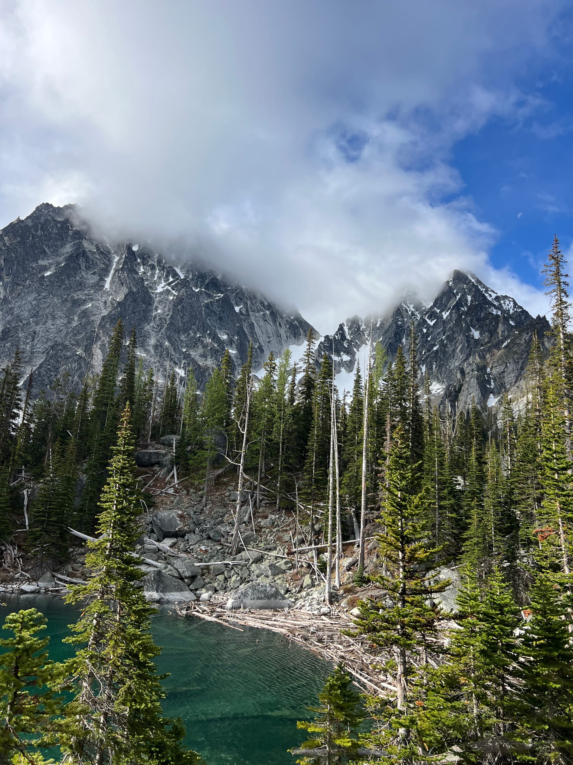
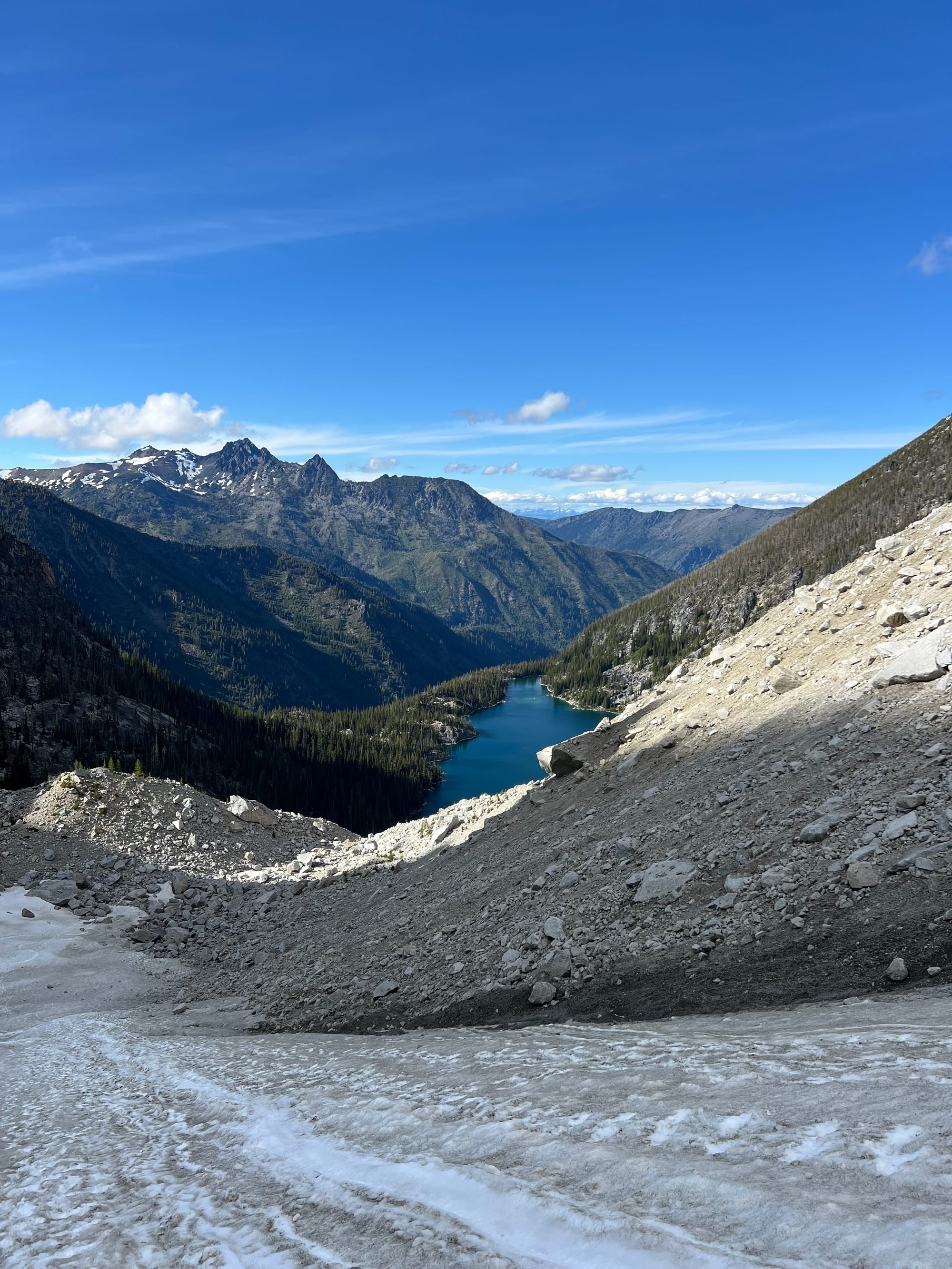
We hiked up the familiar trail to Colchuck Lake, arriving just before 8AM. We took a short break here to refill water.
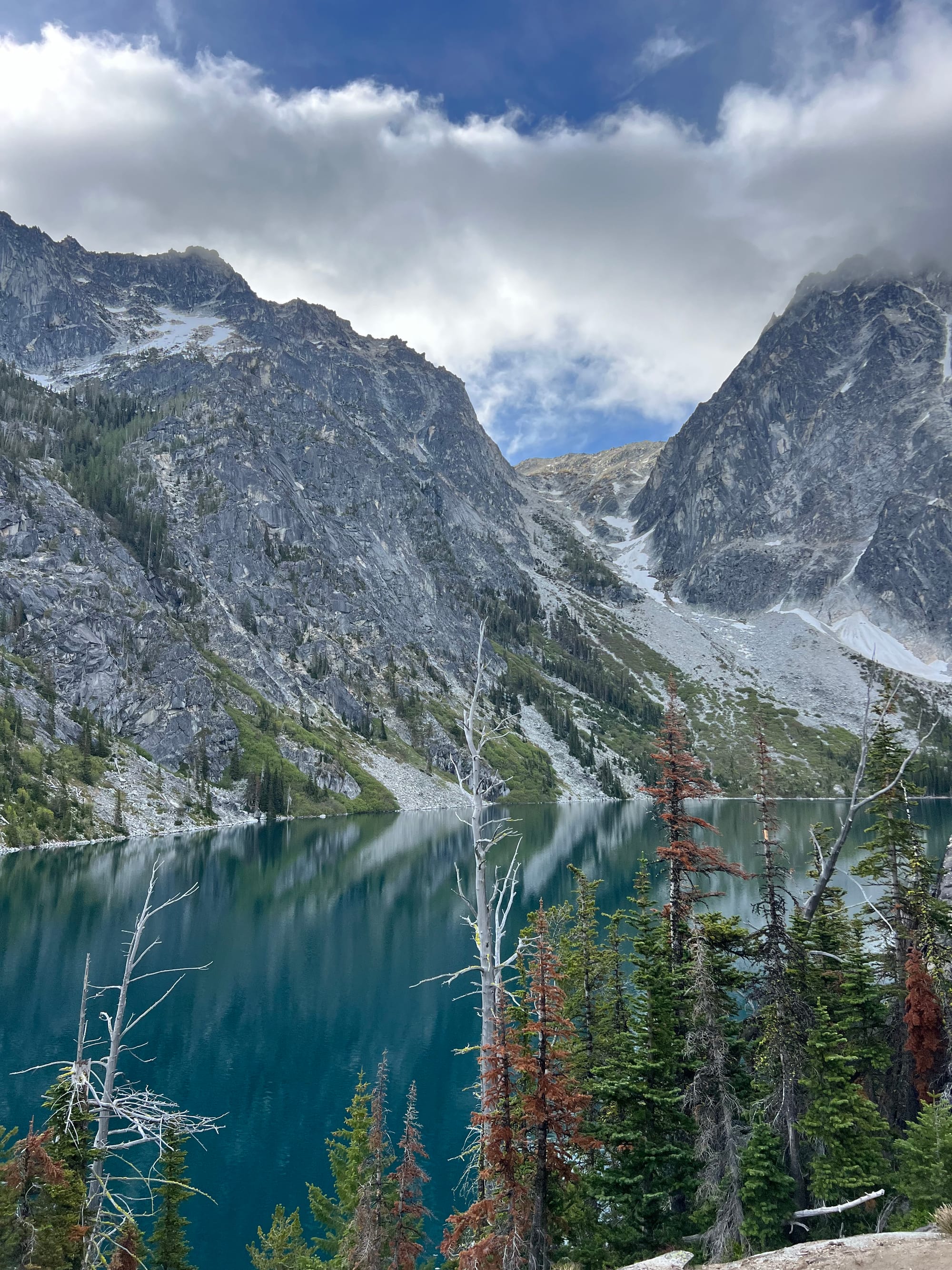
Colchuck isn’t the simplest beginner peak due to its steep snow and scramble. While Alex and Meredith had never gone mountaineering before, they did grow up adventuring in the rugged White Mountains of the New Hampshire and spent years in the mountains surrounding Seattle.
They are fit athletes with skiing, rock climbing, and general hiking outdoors experience. We weren't skiing this day, but I've found that skiing experience helps ease a fear of heights on steep snow. Prior to the trip, we met up for a few sessions to practice crevasse rescue.
My friends remarked that I was really comfortable on steep snow. I was proud, because I recall how scary Ruth Mountain (my first mountaineering experience) felt at times. I didn't really ski– at least not well, then.
And I have gotten really comfortable on steep snow– I moved with practiced ease, but I remember how slow I was at kicking steps on Ruth. I think I could run up that mountain now.
We got sandbagged reading speedy trip reports (9-11 hour round trip climbs). For a fit team containing beginners, I hoped for an ~11 hour day. Of course, now in hindsight, I am finding loads of 13-15+ hour trip reports. Despite the athleticism of our group, learning safe steep snow travel techniques and developing a comfort for this terrain and trust in new gear (like crampons) takes a while. At the same time, being out on glaciers late into the day isn't ideal (due to increased rockfall and weaker crevasse snow bridges). I should have had our group start earlier and built in a bigger time buffer for learning.
SummitPost said Colchuck Peak was "an easy 3 to 4 hour undertaking from a camp at Colchuck Lake". SANDBAGGER!
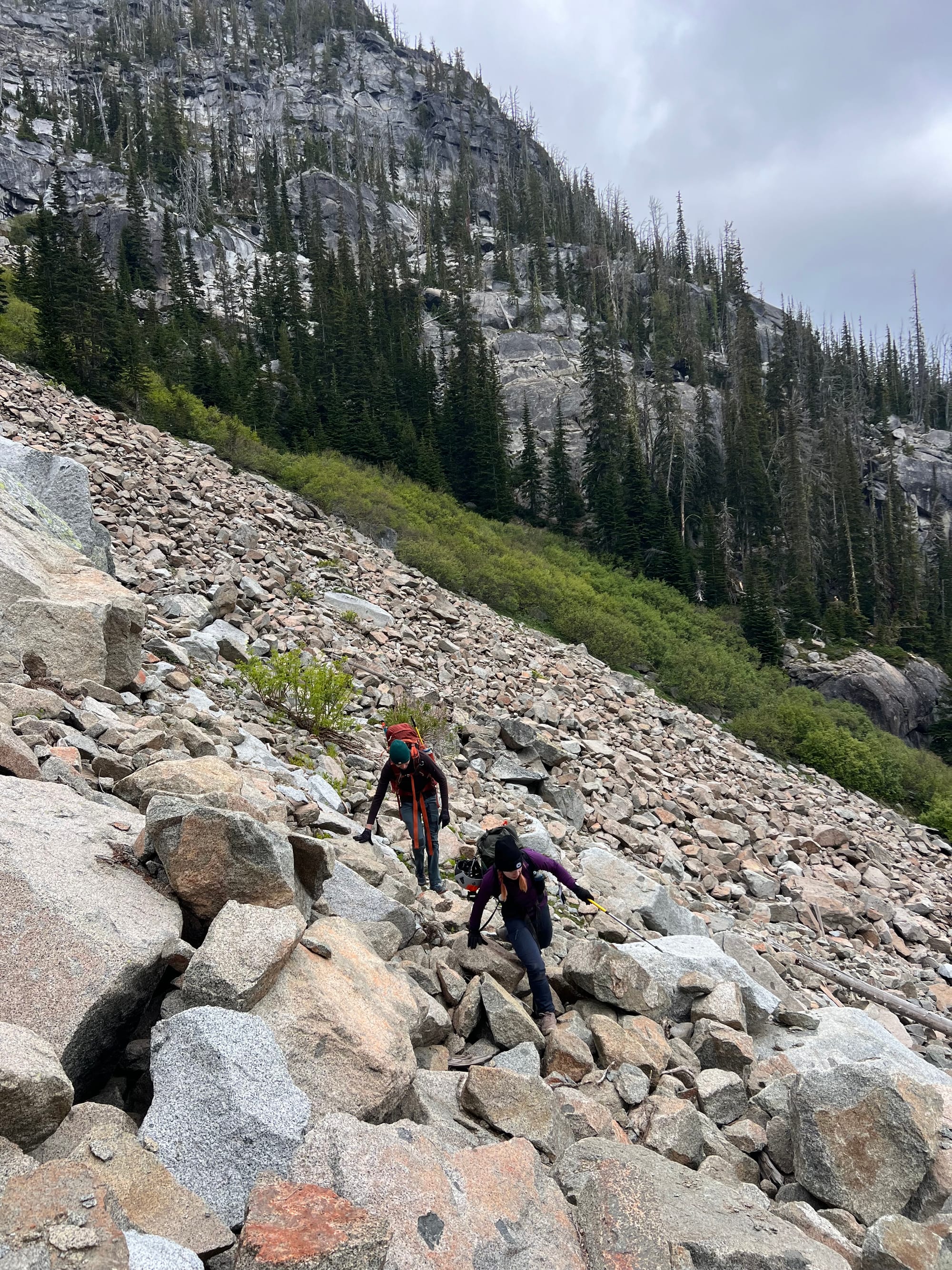
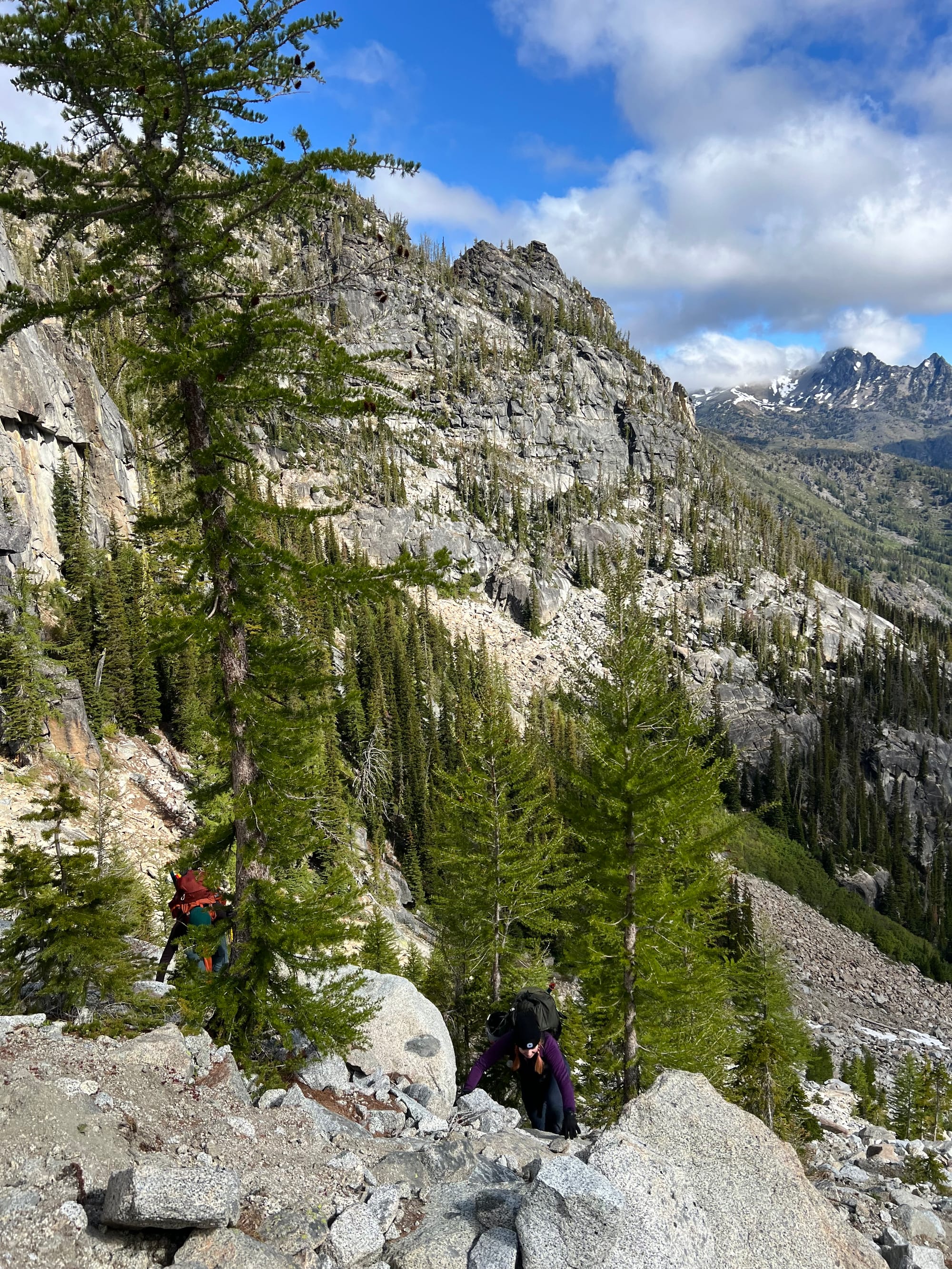
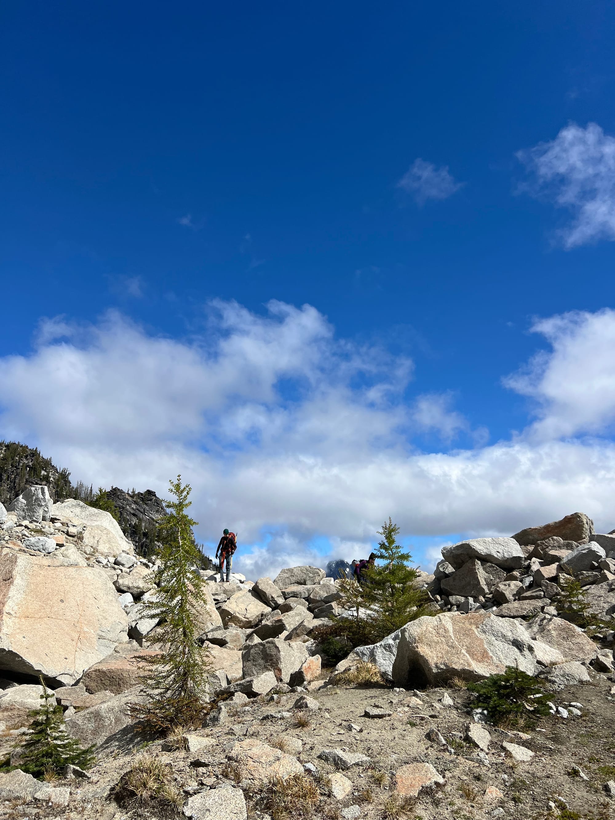
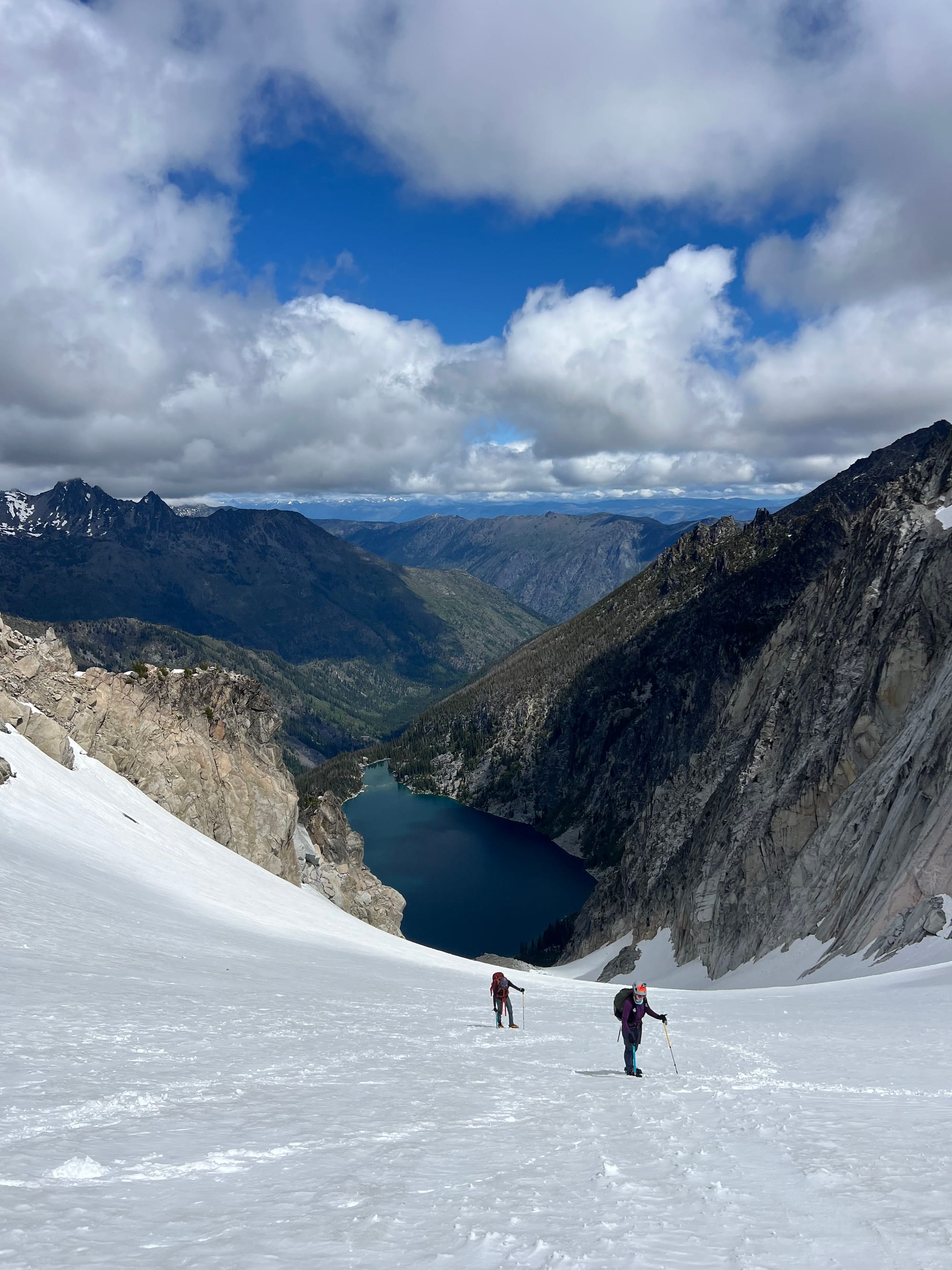
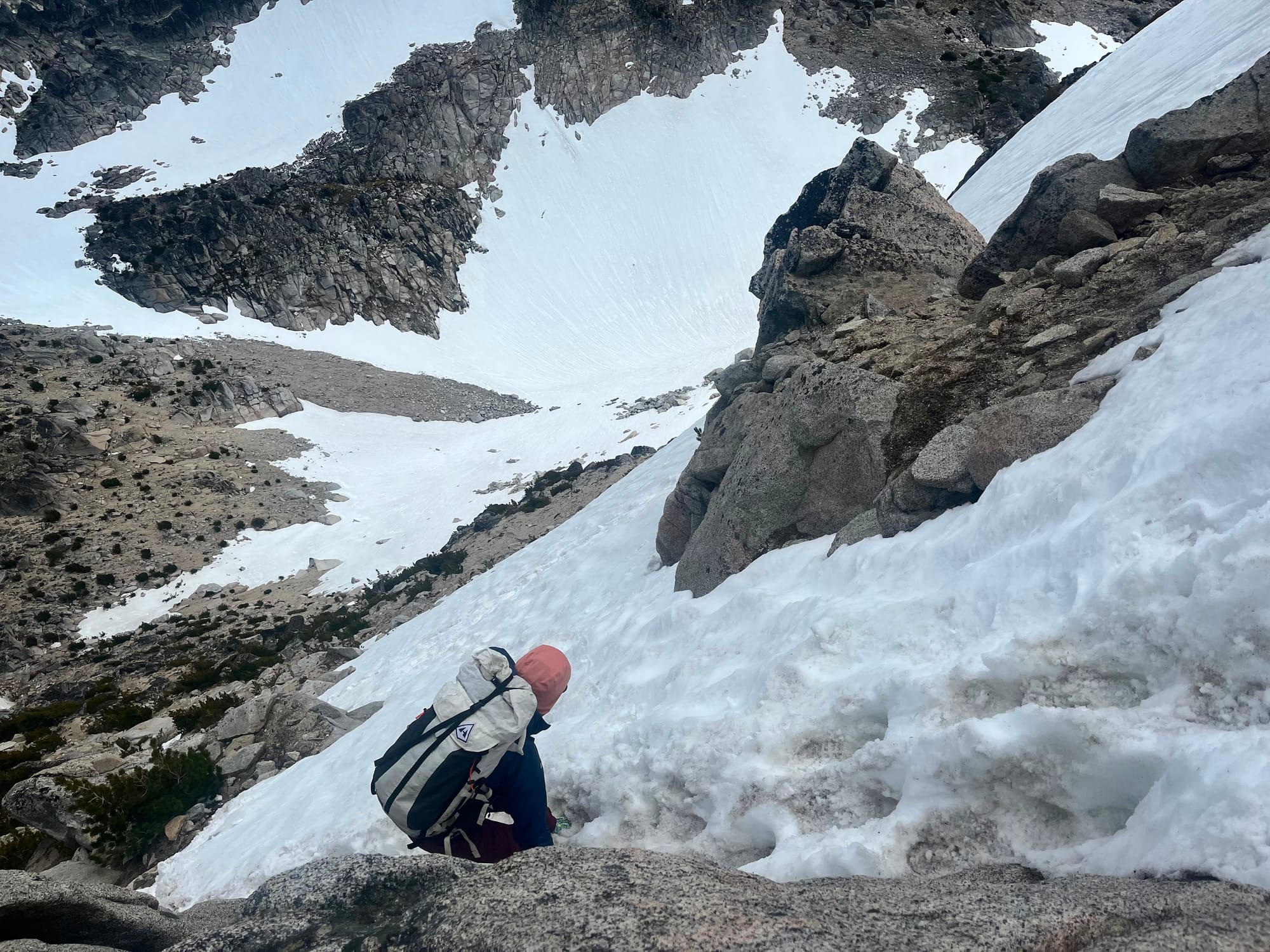
Making our way up the talus towards Colchuck Glacier. Lots of loose, unstable rocks. If I never see a boulder again, it will be too soon.
The boulder field itself took a while. It doesn't get more Cascadian than a loose potentially-ankle-wrecking talus field. In fact, American Alpine Club and Alpine Institute regularly recognize the shenanigans (and sometimes danger) associated with a typical Cascadian mountaineering approach:
"Again, the steep approaches to the routes of Cascade peaks can be the trouble spots."
"... which often make the approach to Cascade peaks more difficult than the actual climb."
After years of the hand-to-limb combat encountered in below-timberline approaches, one comes to realize that this part of an ascent can be half or more of the battle. (Notice the use of fighting terms.)
Enchantments' terrain is rocky and gnarly. A couple years ago, there was a rescue for a hiker who dislodged a refrigerator-sized boulder that pinned his legs and left arm.
From Colchuck Lake, it took us an hour to even reach the start of the snowfield below the glacier (arriving ~9:30am).
Let alone actually climb the glacier, summit, and return all the way back down to the lake. Yeah, we were already behind schedule before even stepping foot on snow.
UPDATE: I have since gotten beta (thank you, Susan V!!) for a better, more stable boulder field ascent line:
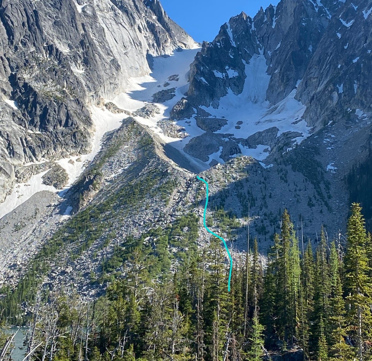
Per Susan, if you ascend the left edge of the boulders, just to the right of the willows/creek, it's nearly all solid, stable, big boulders you can hop/walk. The center is a kitty-litter choss pile. The left ascent only takes her about 35 min!
Viewing the moraine from below, the creek coming out of the moraine splits it... the good route is just to the right of that creek, i.e. the left side of that half of the moraine (see the blue line in the image she sent me, above). To reach the bottom of the snow, the best route is to stick to the right of the water flow area, not the left (the left side is unstable glacial kitty litter). Thank you, Susan!! Hopefully this saves someone time and struggle on their trip! Would certainly make SP’s claim of 3-4 hours round trip from the lake much more doable.
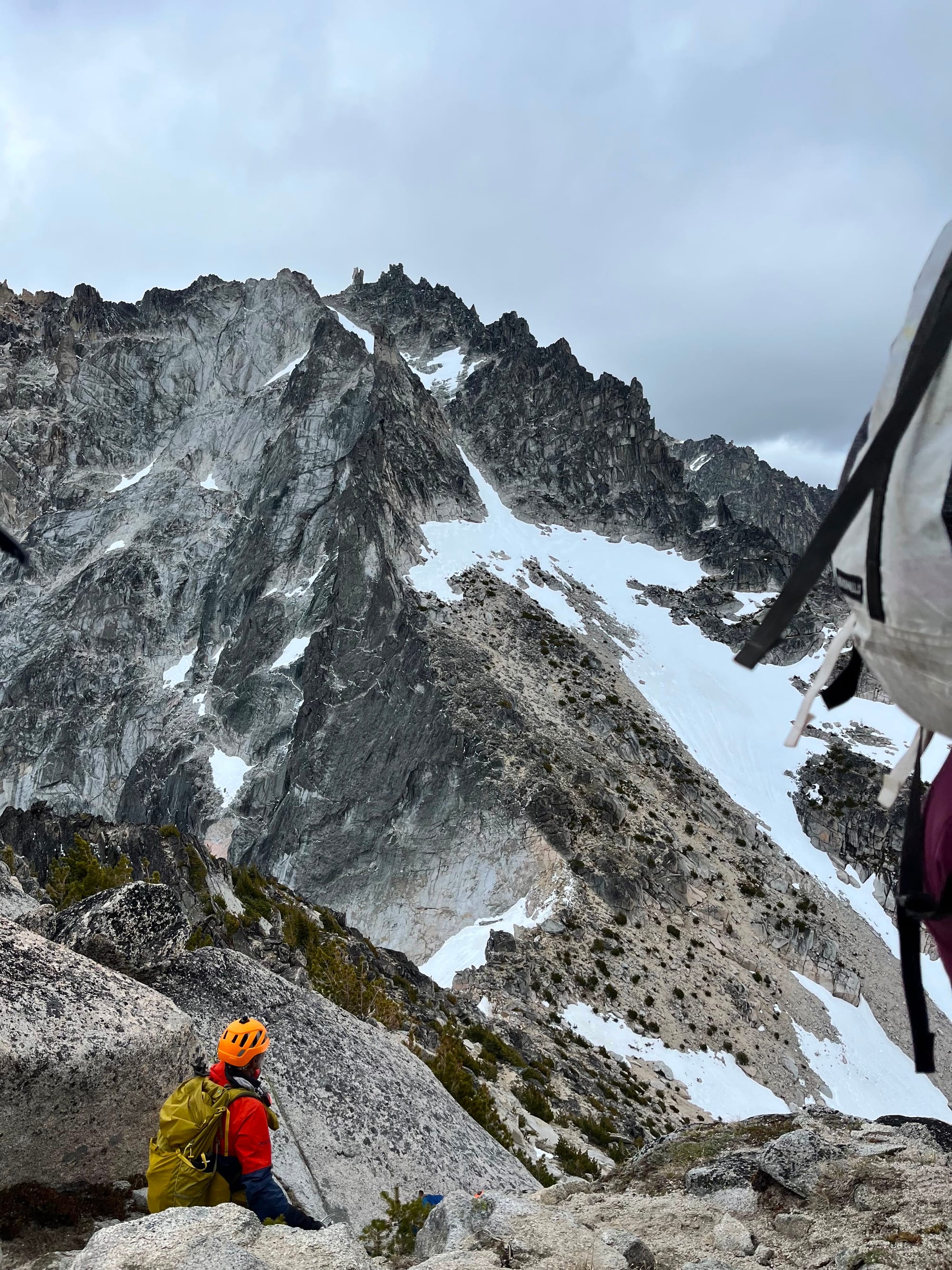
We took a break at the end of the boulder field to eat, use the bathroom, and take out our crampons, ice axes, and helmets. Since we were a new team with new gear, it also took us a while to get our crampons on and situated (we didn't start up the snowfield until at least 10:15 at the earliest).
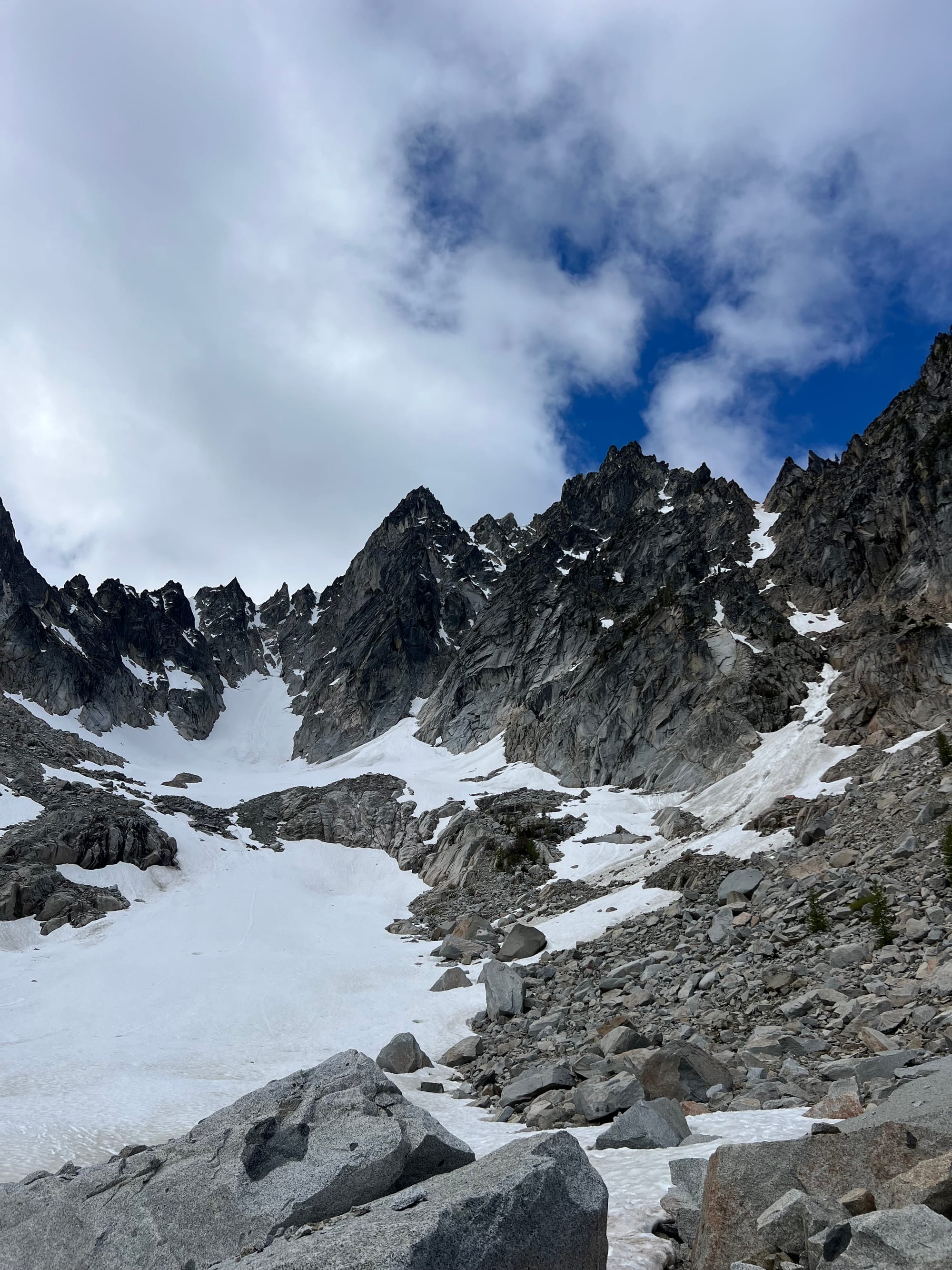
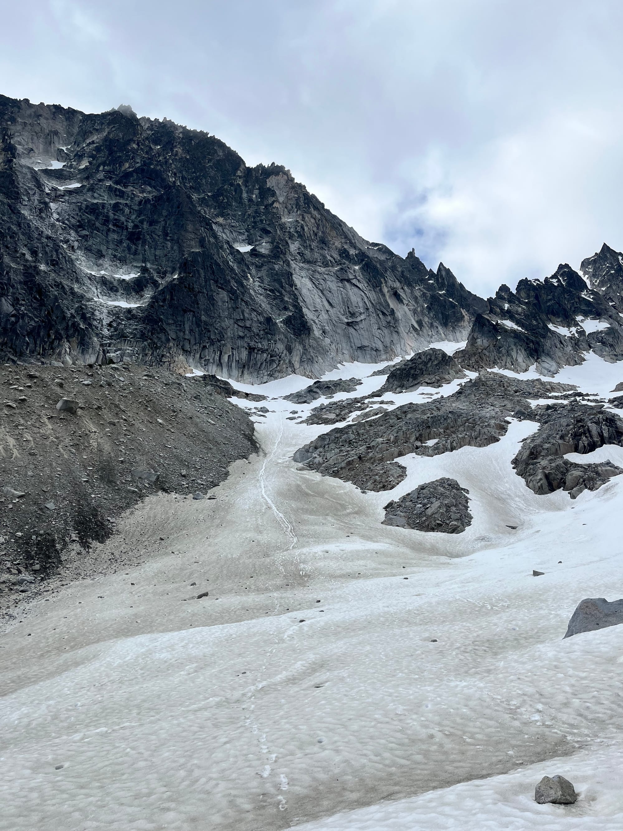
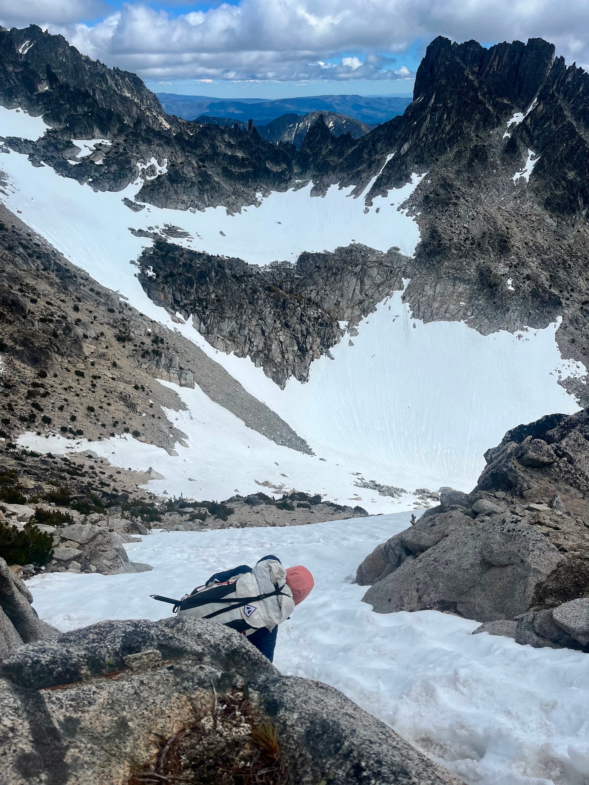
End of the boulder field/start of the snow line and climb up towards Colchuck Glacier
Another reason we started late was to give the snow time to soften to avoid icy conditions. Colchuck Glacier, shadowed between two tall walls of rock, doesn't get much sun. A recent Mountaineers trip report got into my head:
"Colchuck Glacier doesn't see sun before 11 and after a clear night, it was frozen very hard. Our crampons were biting nicely but that was the only thing holding us on the mountain. We agreed that it would be difficult or impossible to stop if you fell, although the slope wasn't that steep."
The predicted daily high for Colchuck Peak was a little over freezing (hitting ~37 degrees around 4-5pm in the afternoon). If we had a more traditional alpine start, I worried that the early morning snow conditions might be unconducive to self arrest and uncomfortably firm for beginner mountaineers in steep terrain.

I figured if surfaces warmed up a bit, my friends would be more comfortable on the steep snow and we might be able to move faster.
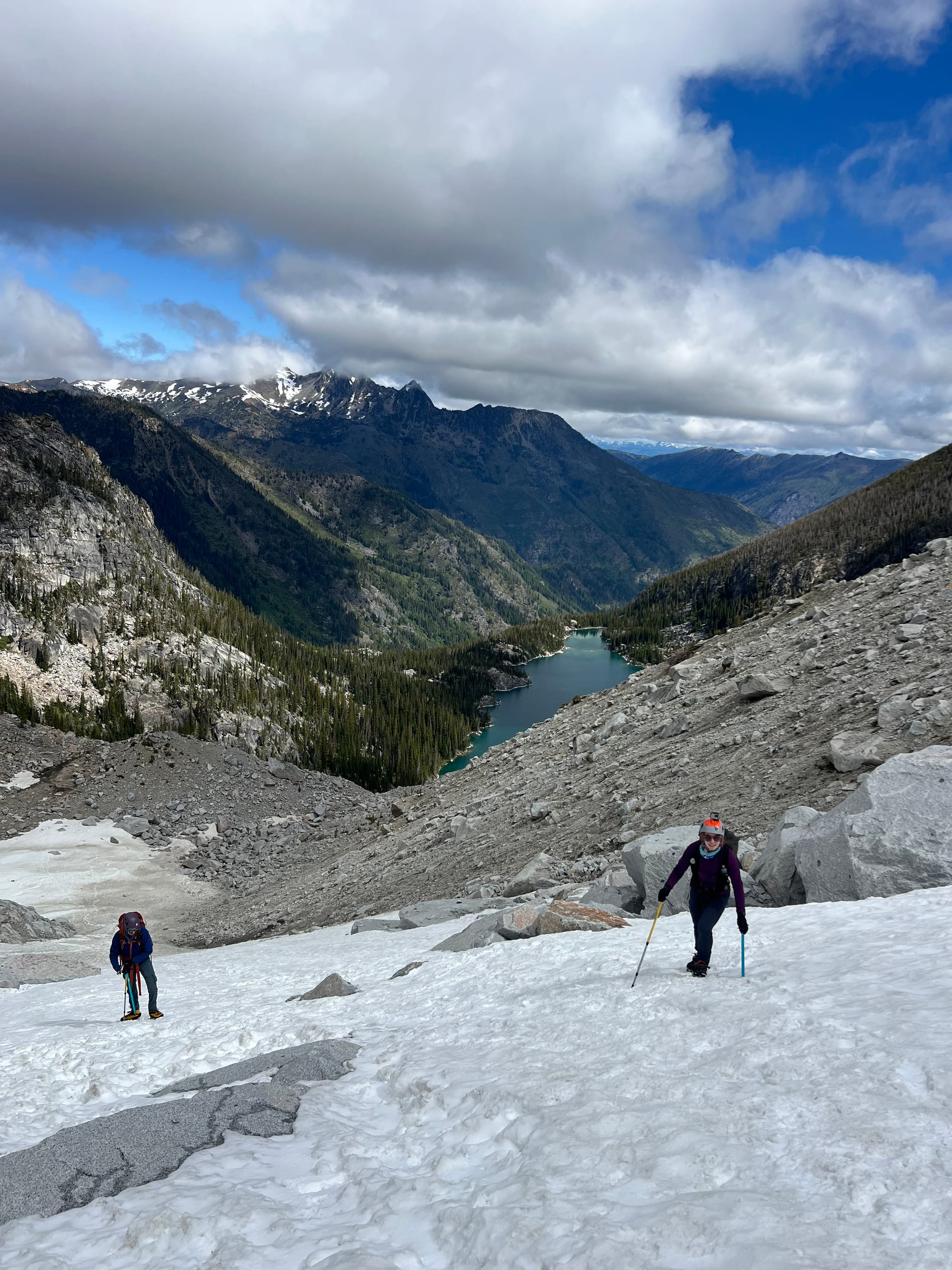
On this morning, clouds hung low around Colchuck Peak. The clouds kept the air warm and the snow at the absolute perfect texture all day long.
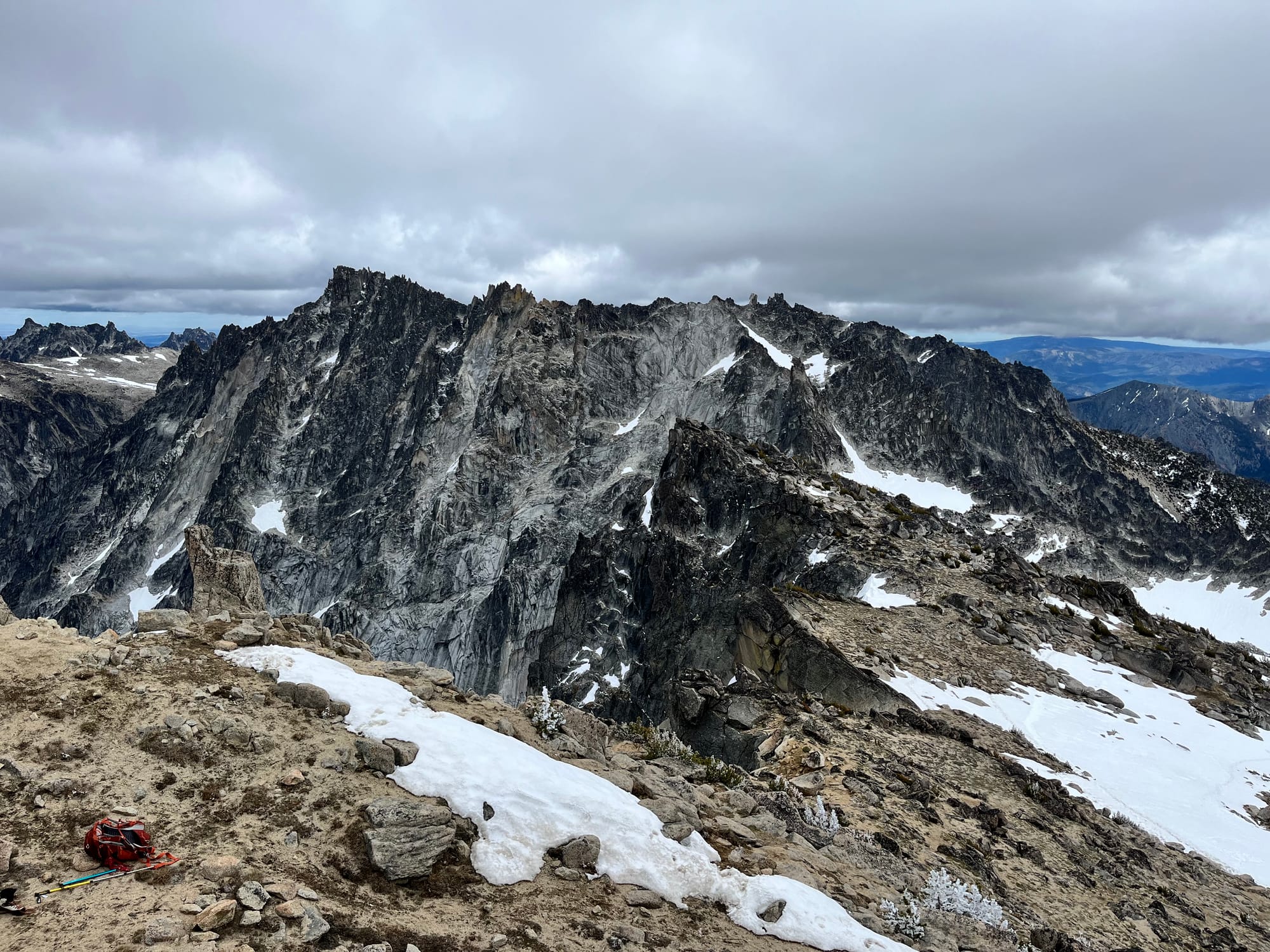
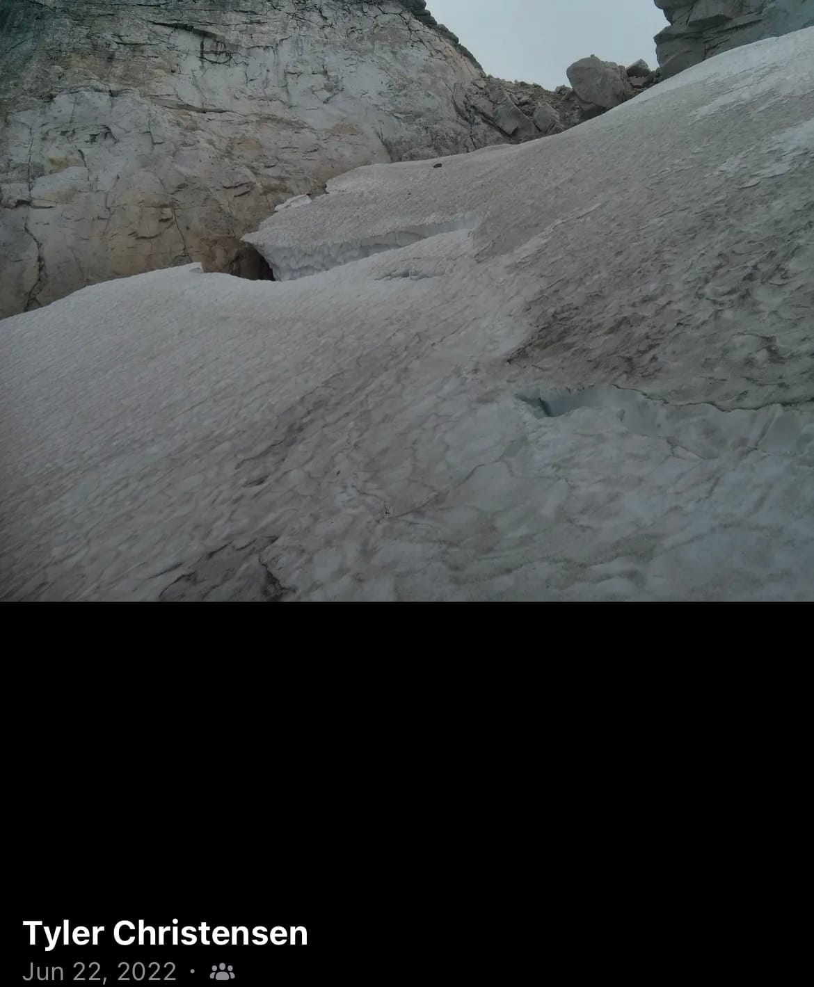
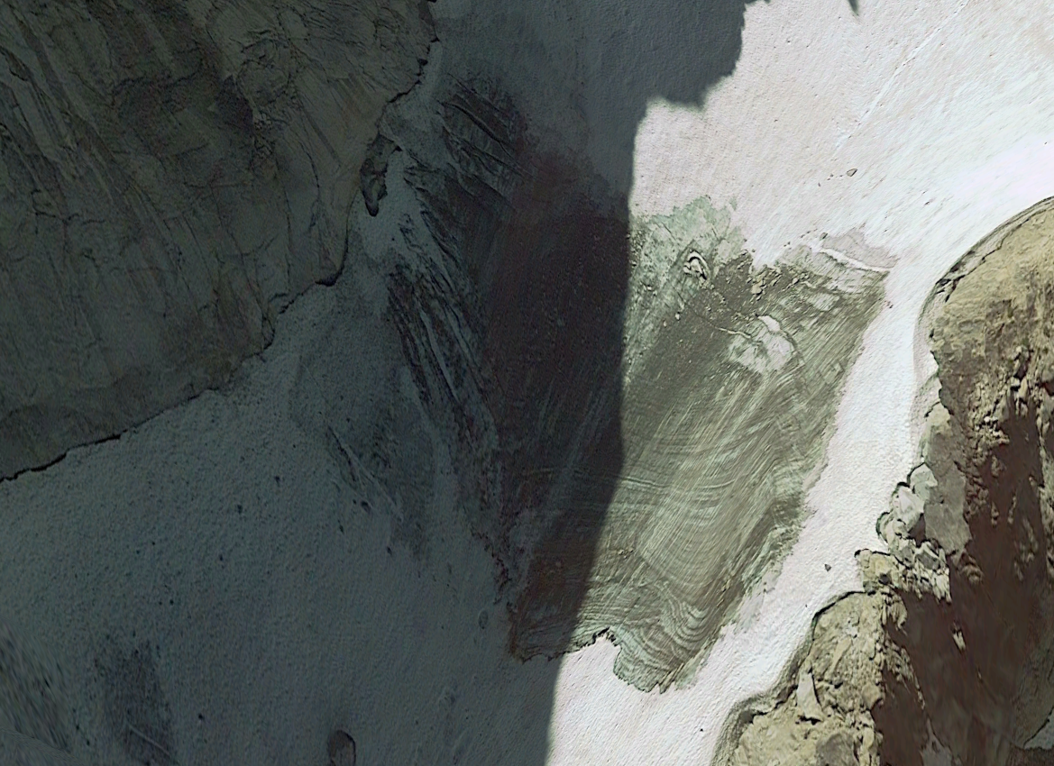
Lots of rockfall evidence...
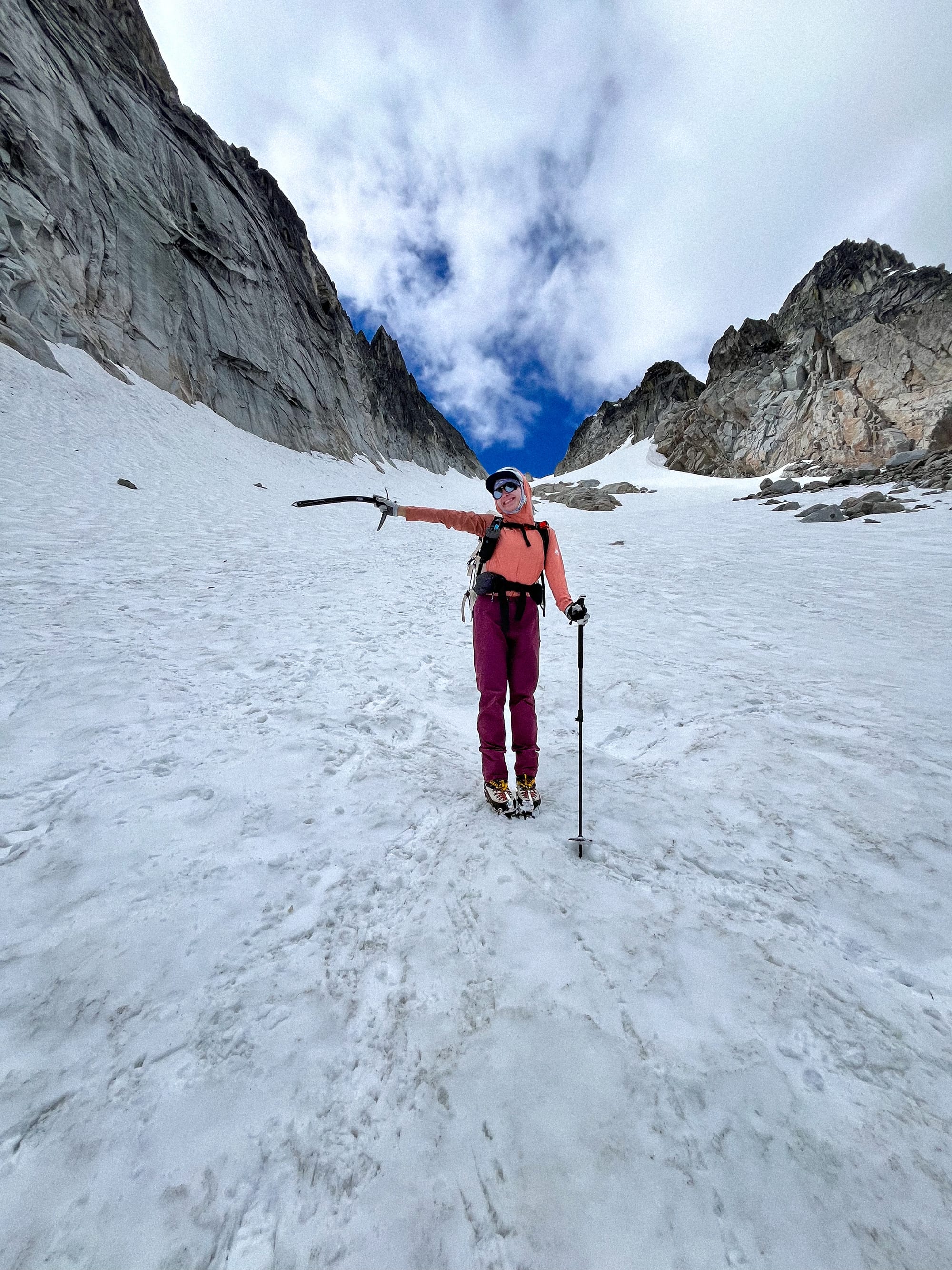
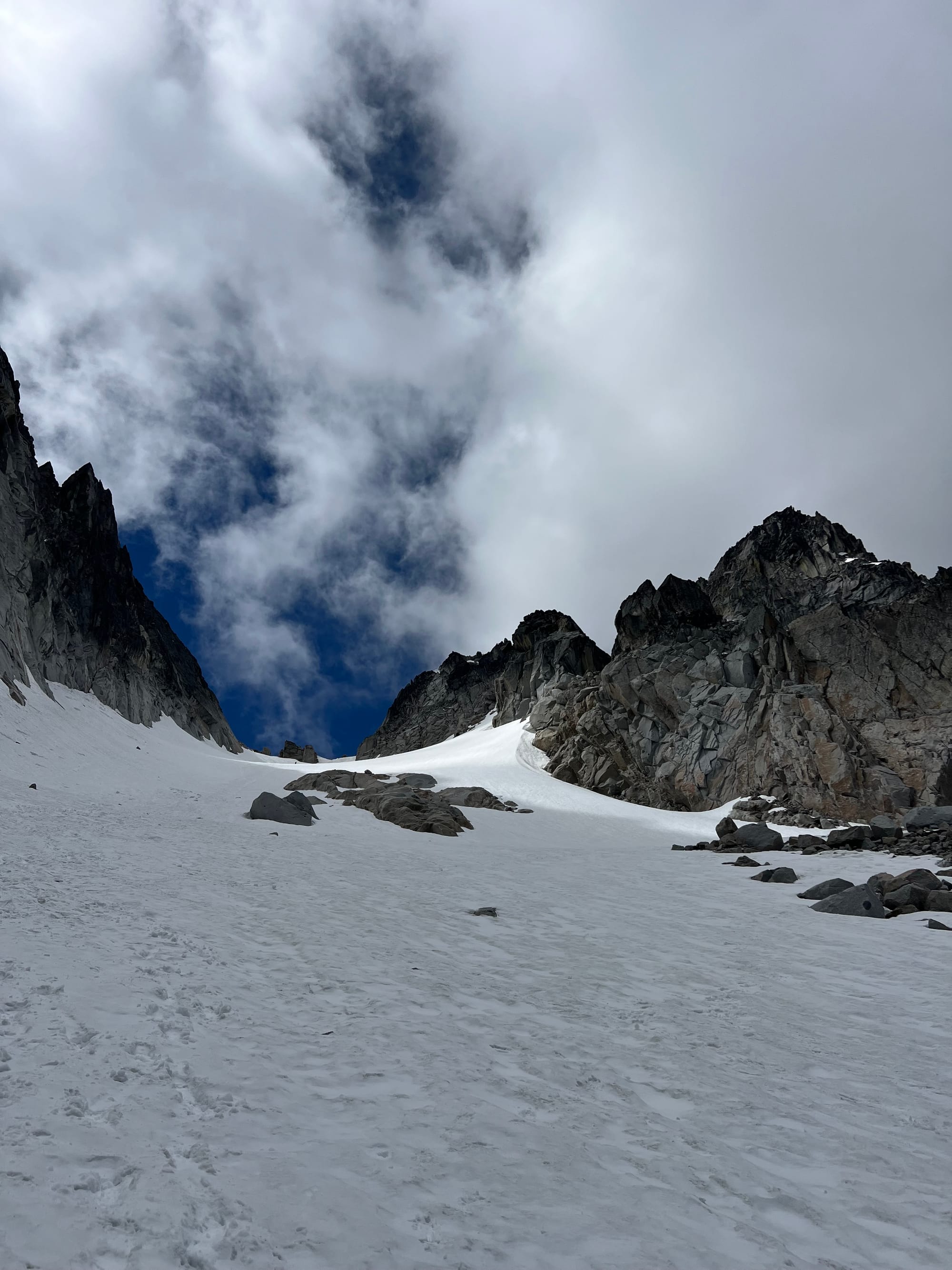
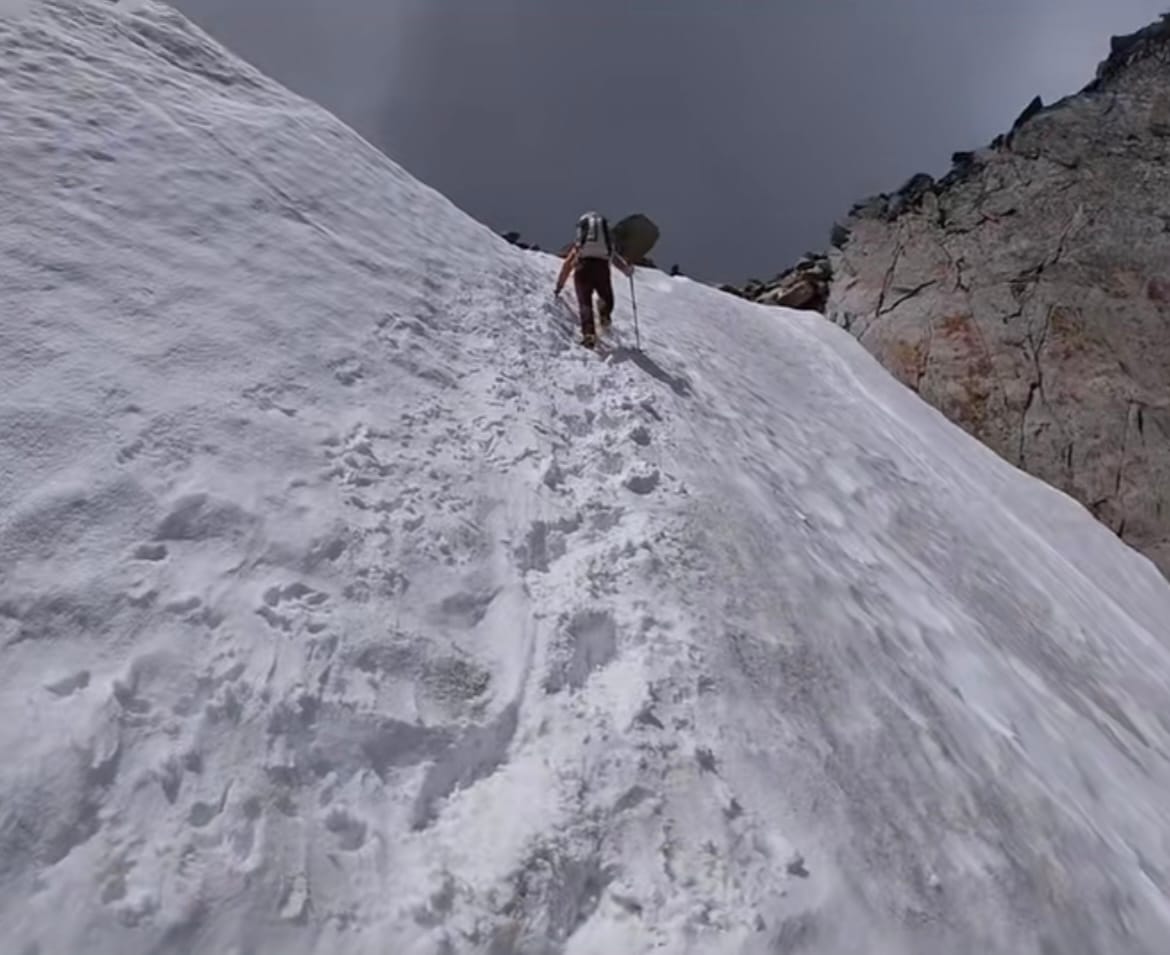
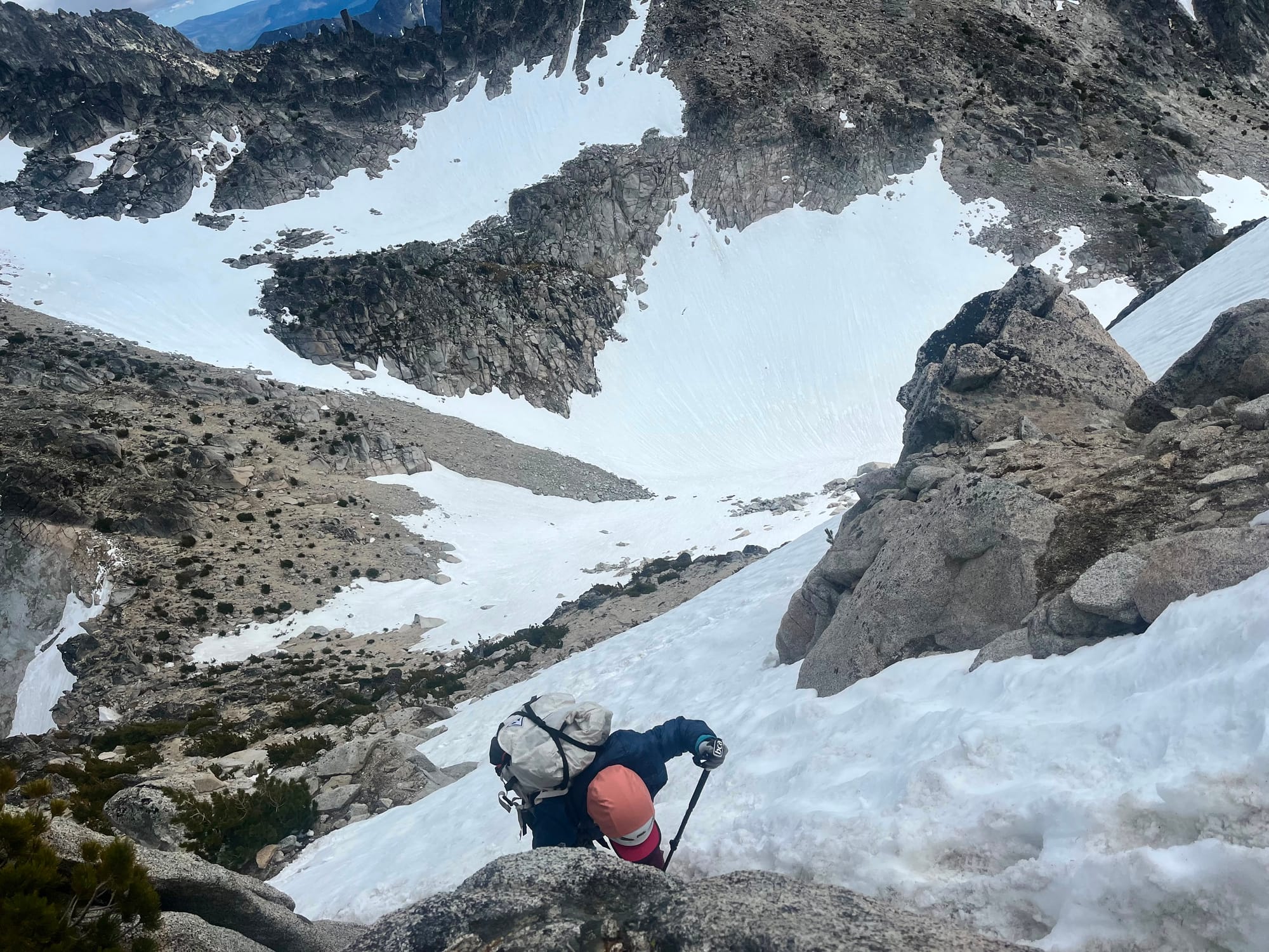
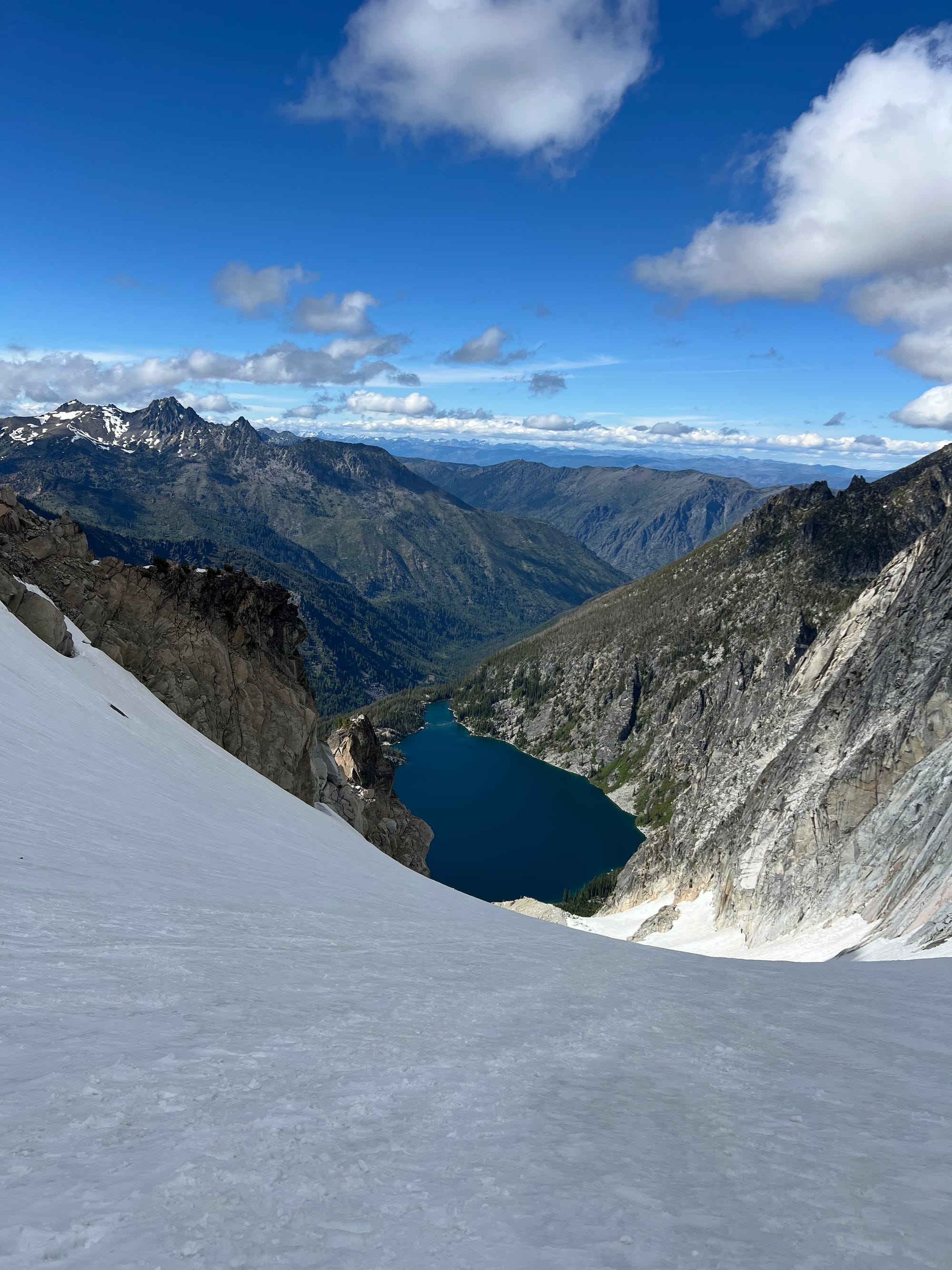
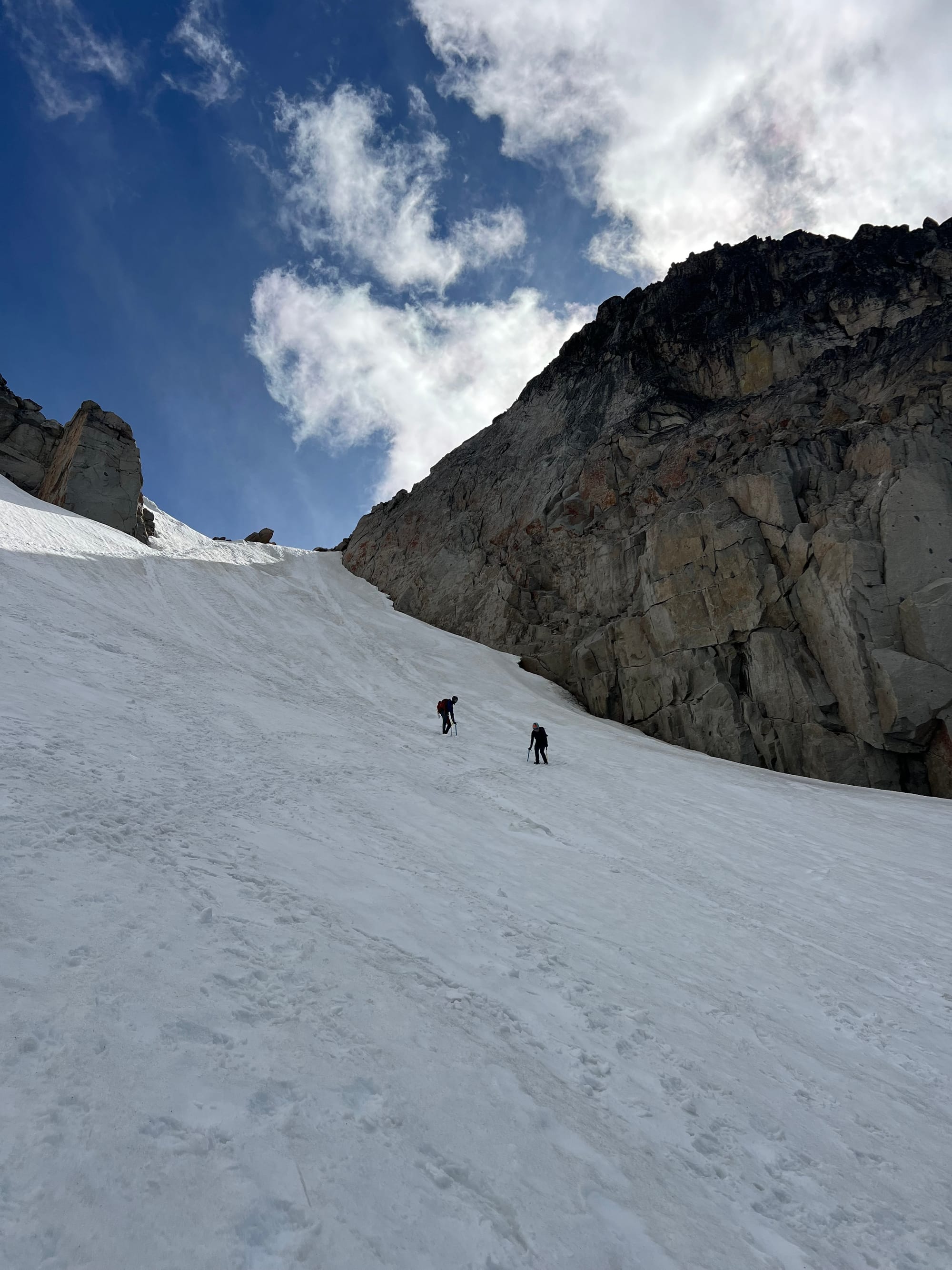
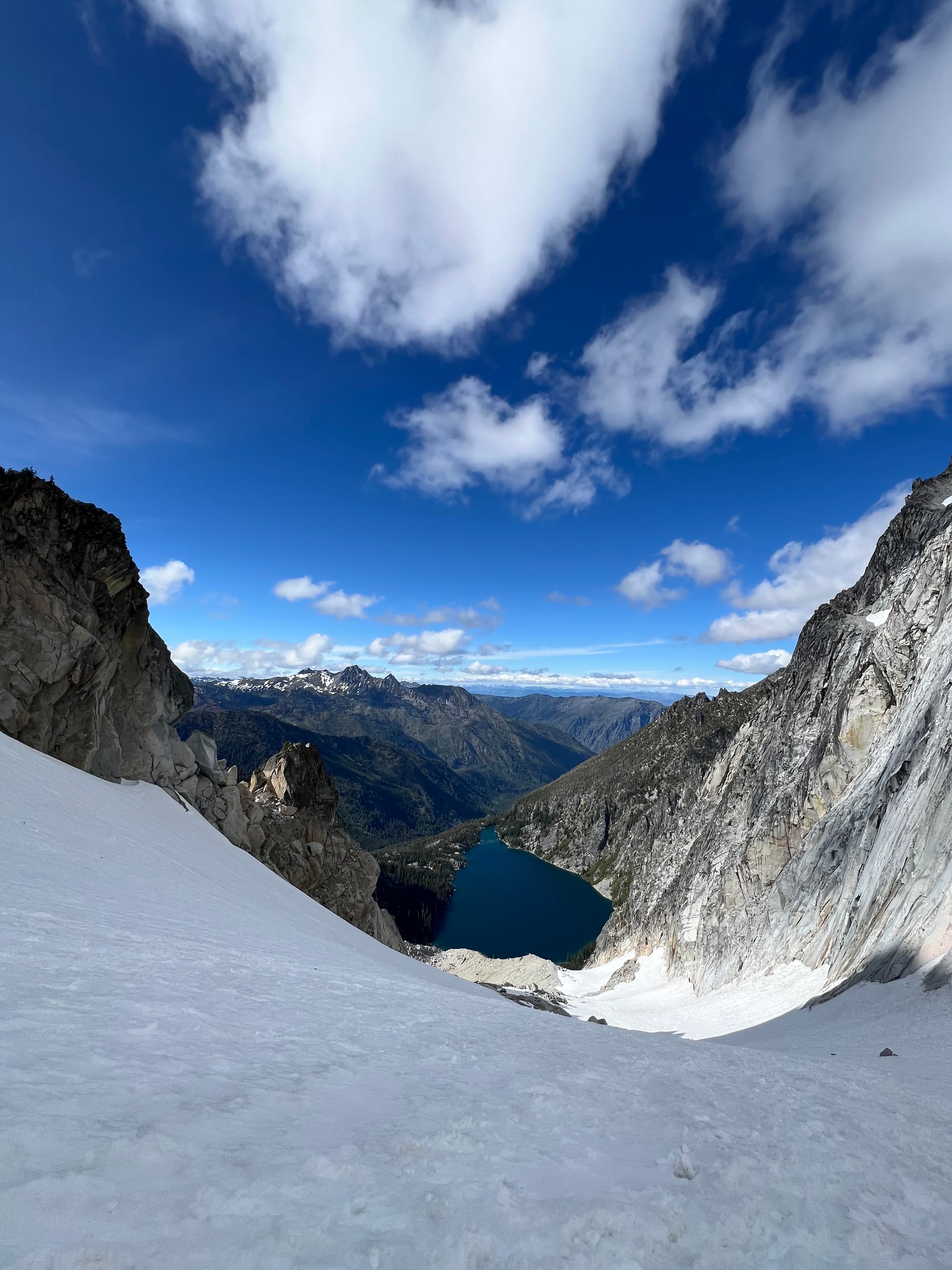
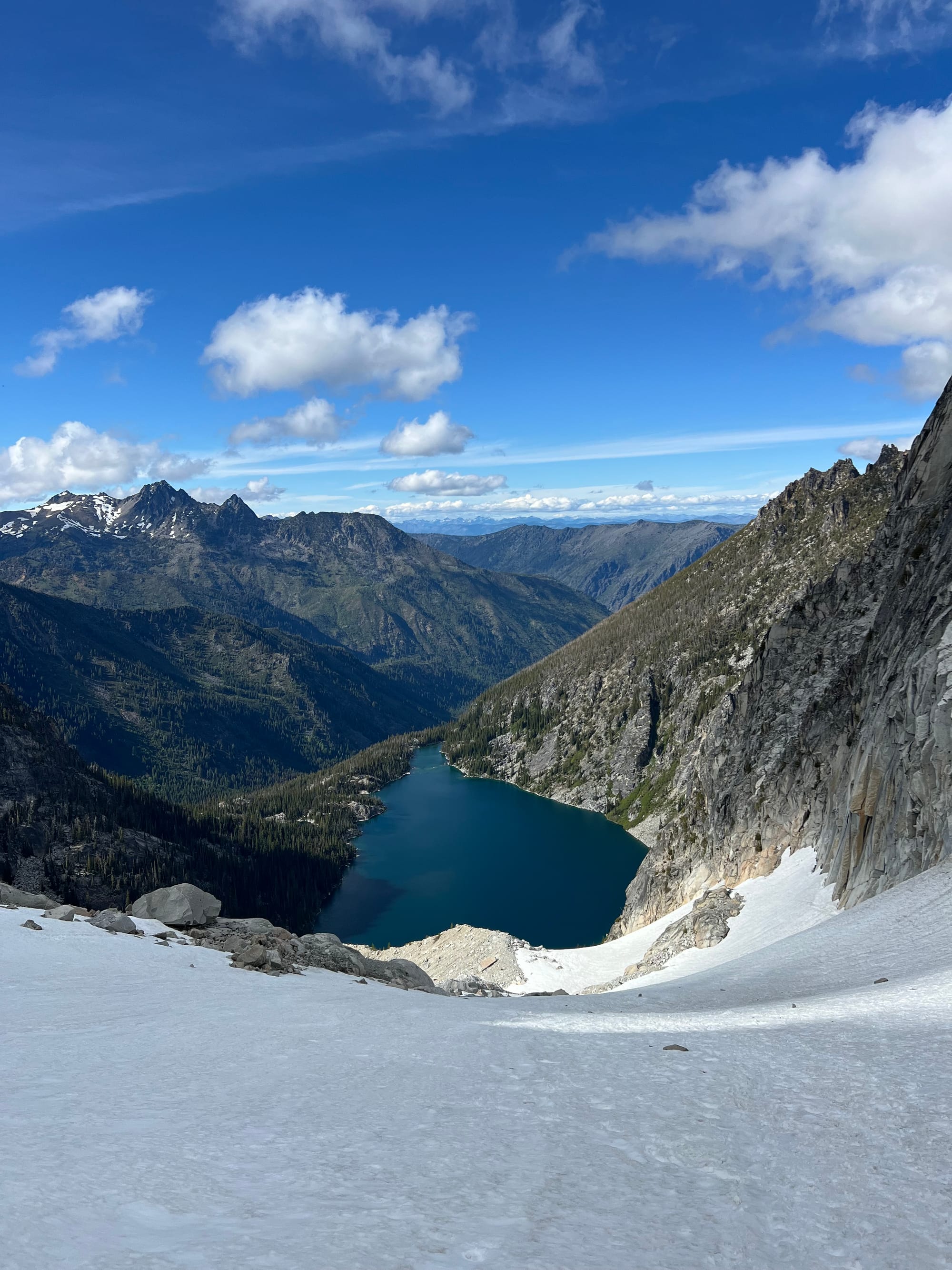
The climb up the glacier was straightforward and had a nice boot track. The headwall was a short pitch of ~40 degree snow. We topped out at Banshee Pass around 11:50am.
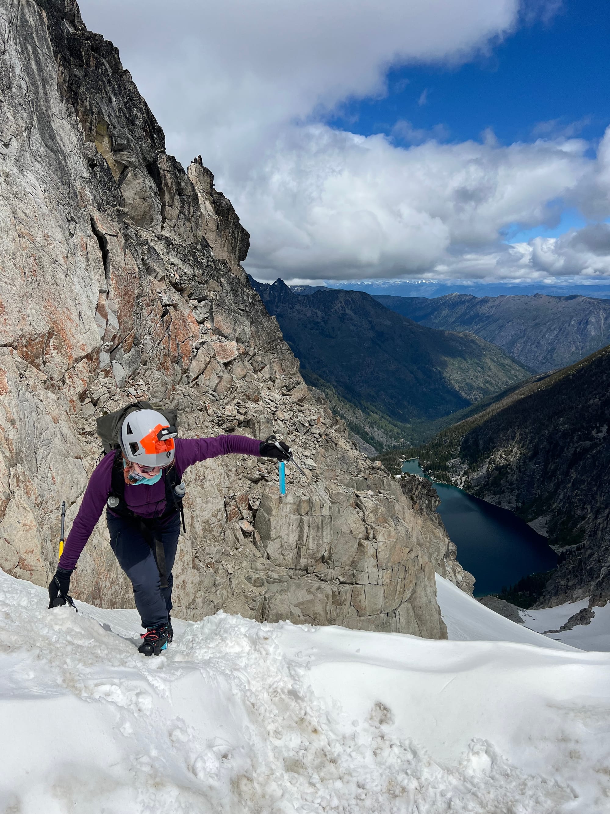
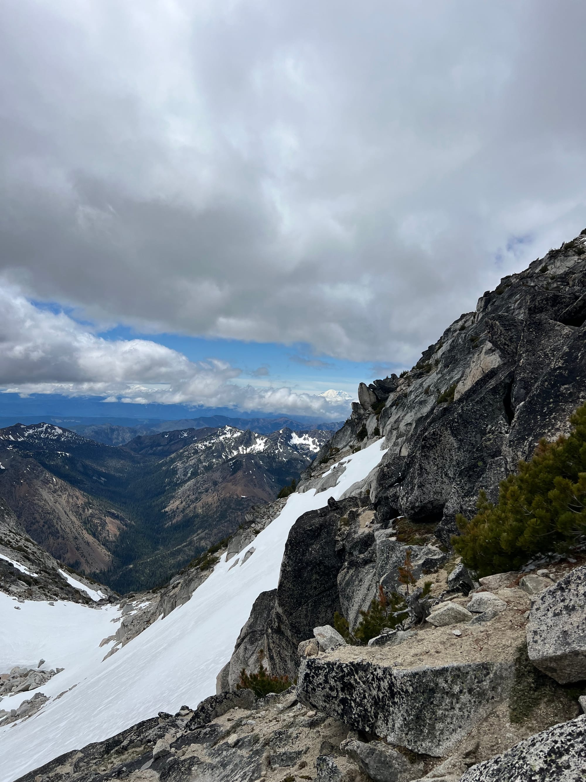
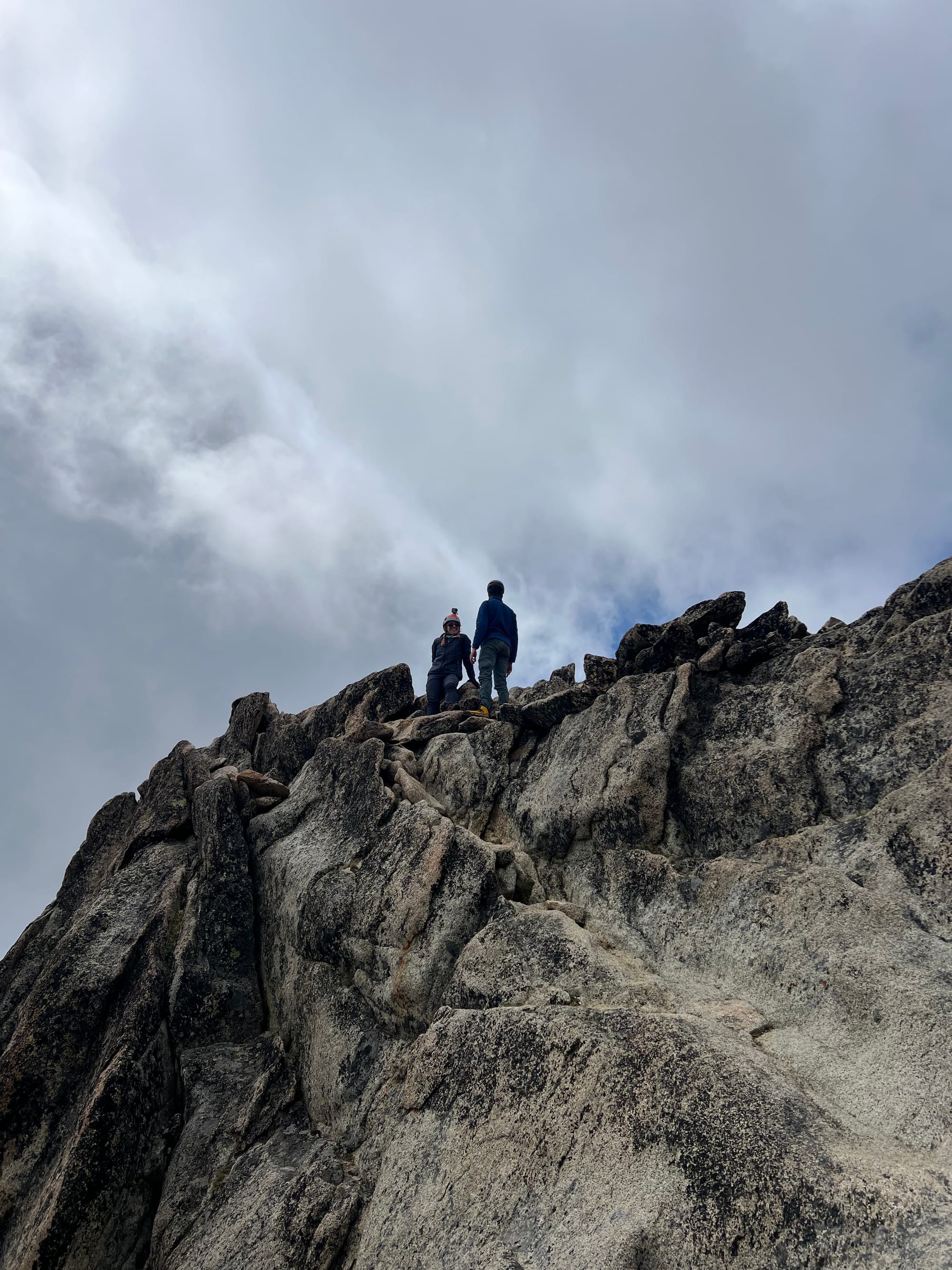
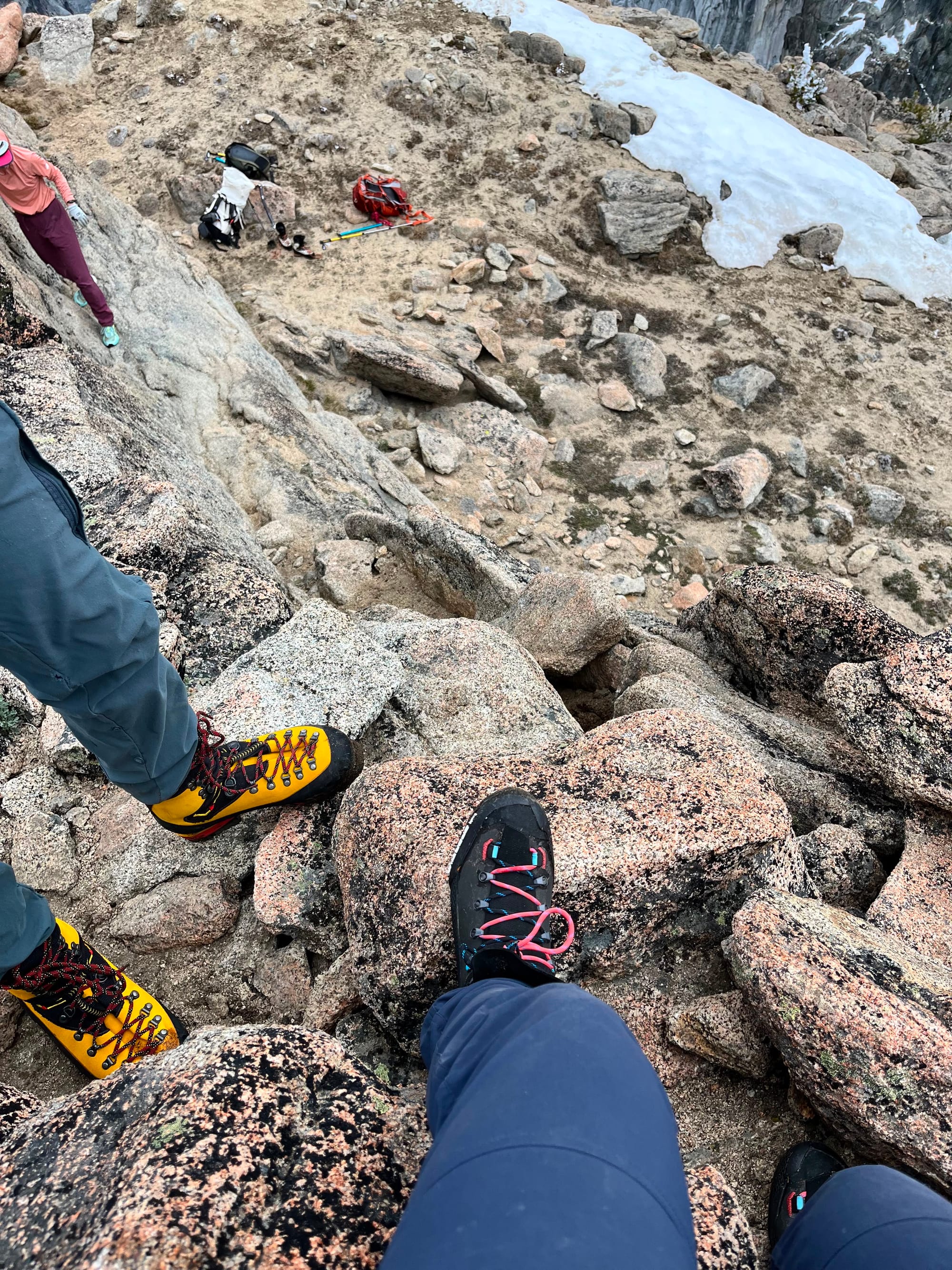
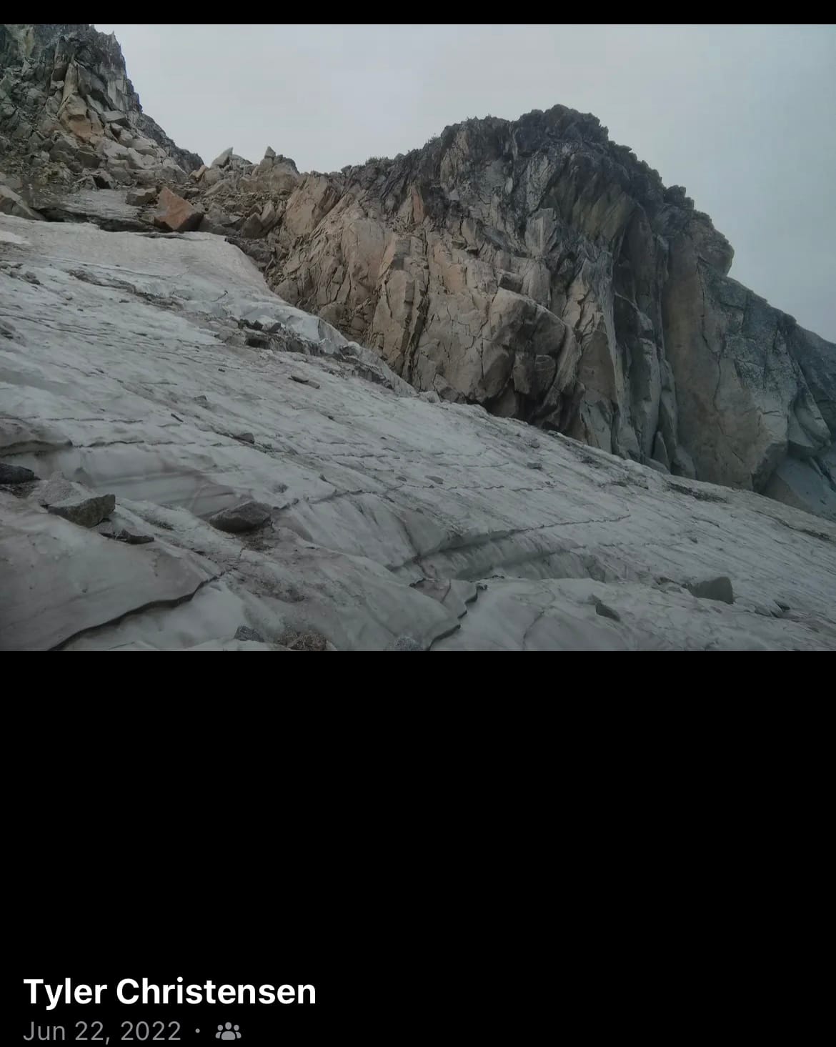
The route towards the summit had exposed sandy rock benches; more, even steeper snow; one-move bouldering style moves up boulders a little taller than Meredith and I (awkward with the big packs); and one main light third class scramble.
Most reports seem to focus on the steep glacier sections or headwall before Colchuck Col. The scramble from the col to the summit was described as “trivial”. Another climber we met said he “fucking hated” the headwall but that the scramble was easy.
I found the last ~300 feet and quarter mile to the summit from Colchuck Col to be the crux. Finding the easiest route through intermittent snow and sandy scrambles was time consuming past Banshee Pass. The glacier and headwall were "trivial" to me. Trivial is in the eye of the beholder, I guess.
It's interesting to see how much people's comfort levels vary.
Unfortunately, I don't have a photo of the scramble itself (or any photos in this area at all, actually... this one is Meredith's).
As someone with a healthy fear of heights, the scramble doesn't feel too exposed; there's a ledge at the bottom.
Despite the scramble's moderate angle, the gritty sand/dirt layer makes the rock feel less secure. One of the would-be jugs was an awkwardly-in-the-way loose boulder that you did not want to send down on a teammate.
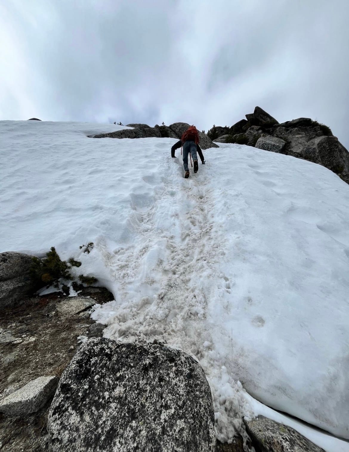
Steep snow climb up the ridge that had a ledge below but felt exposed to the sides. There was a secure boot track stomped out.
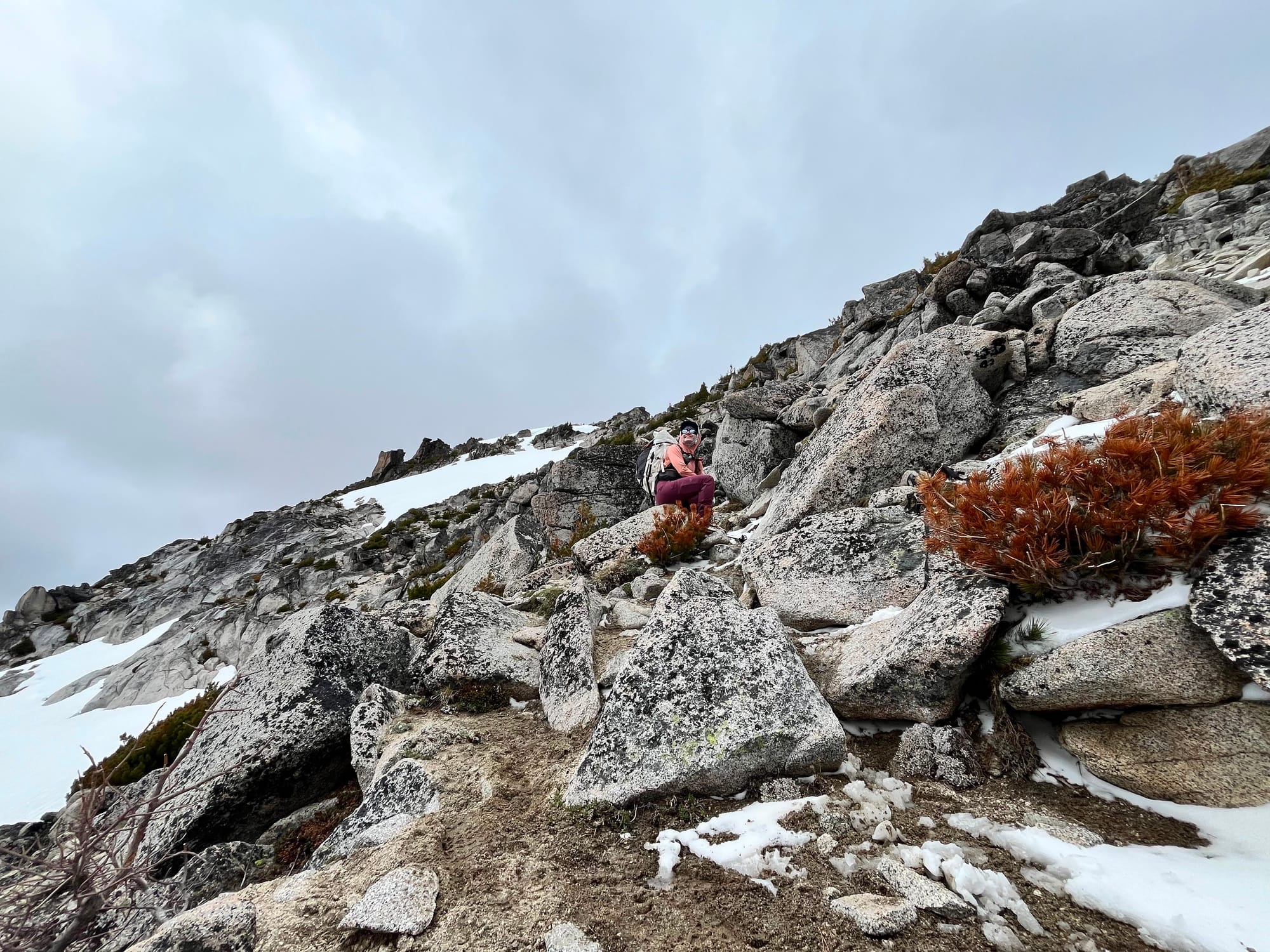
After the last pitch of steep snow, it's just a little more easy cross-country terrain to get to the summit!
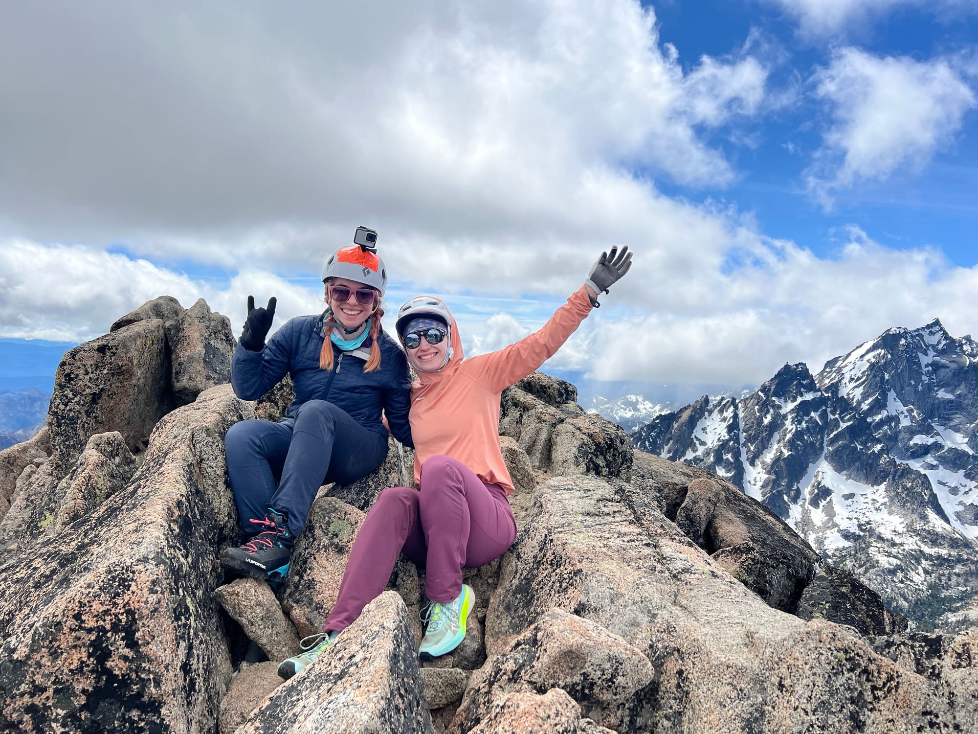
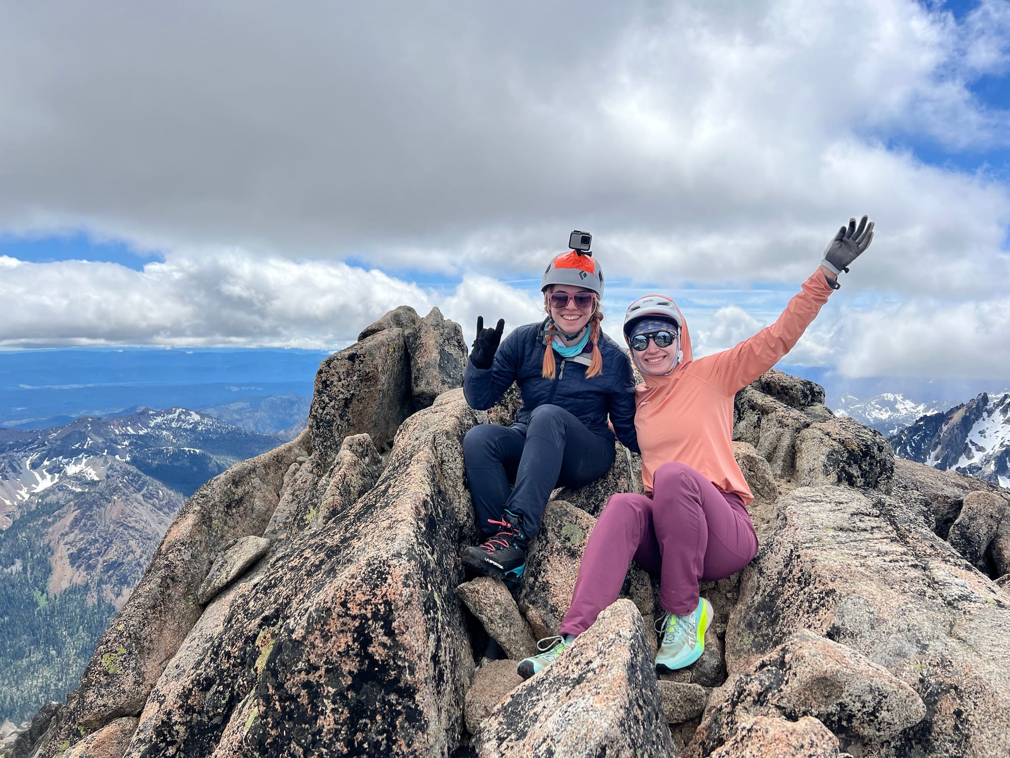
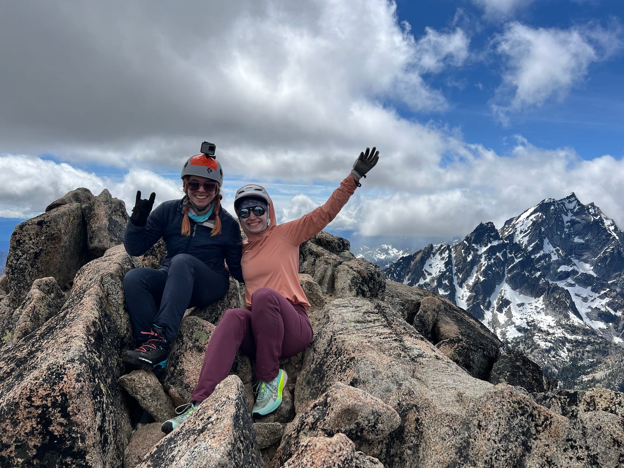
Meredith and I enjoying the summit
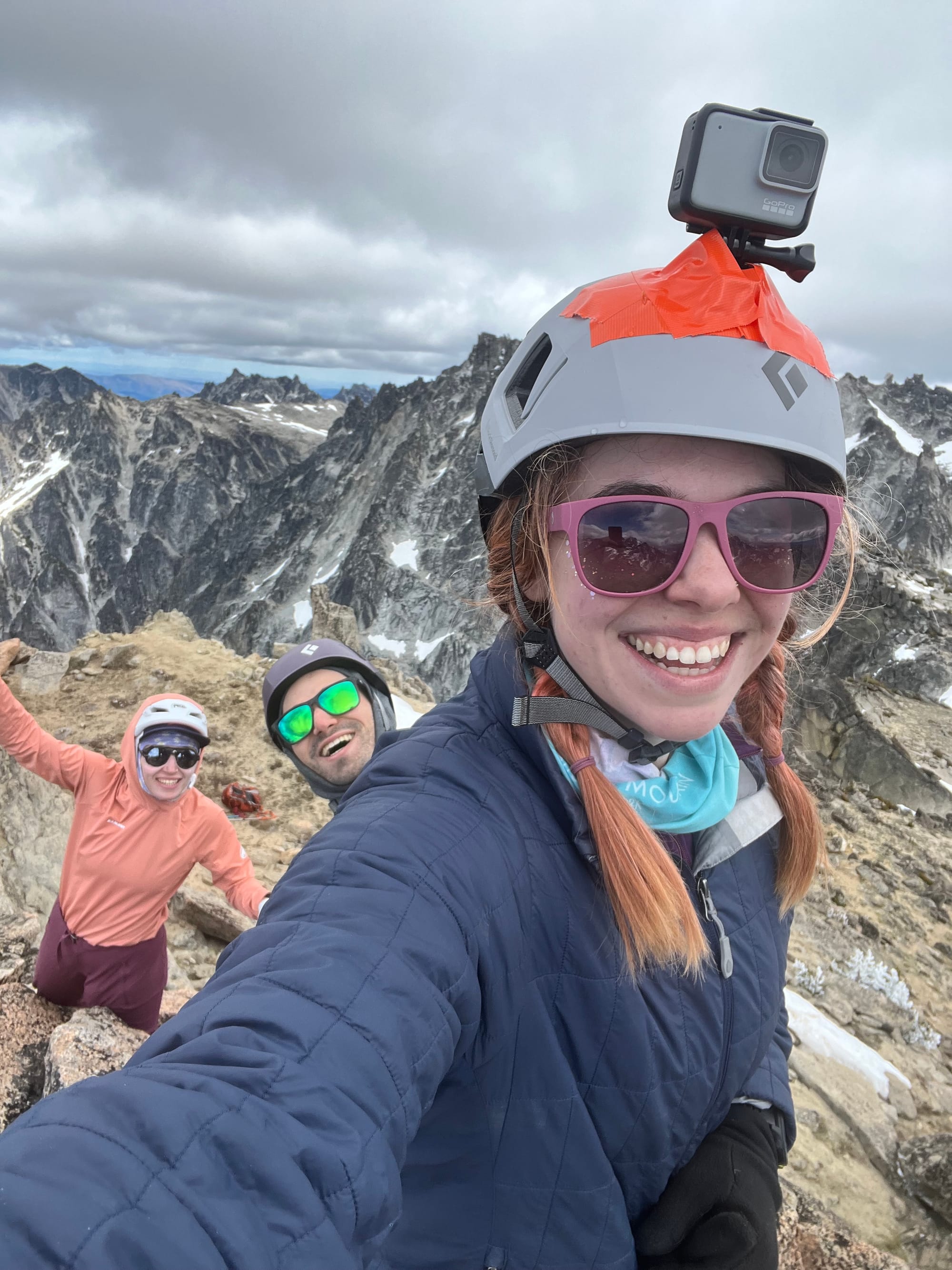
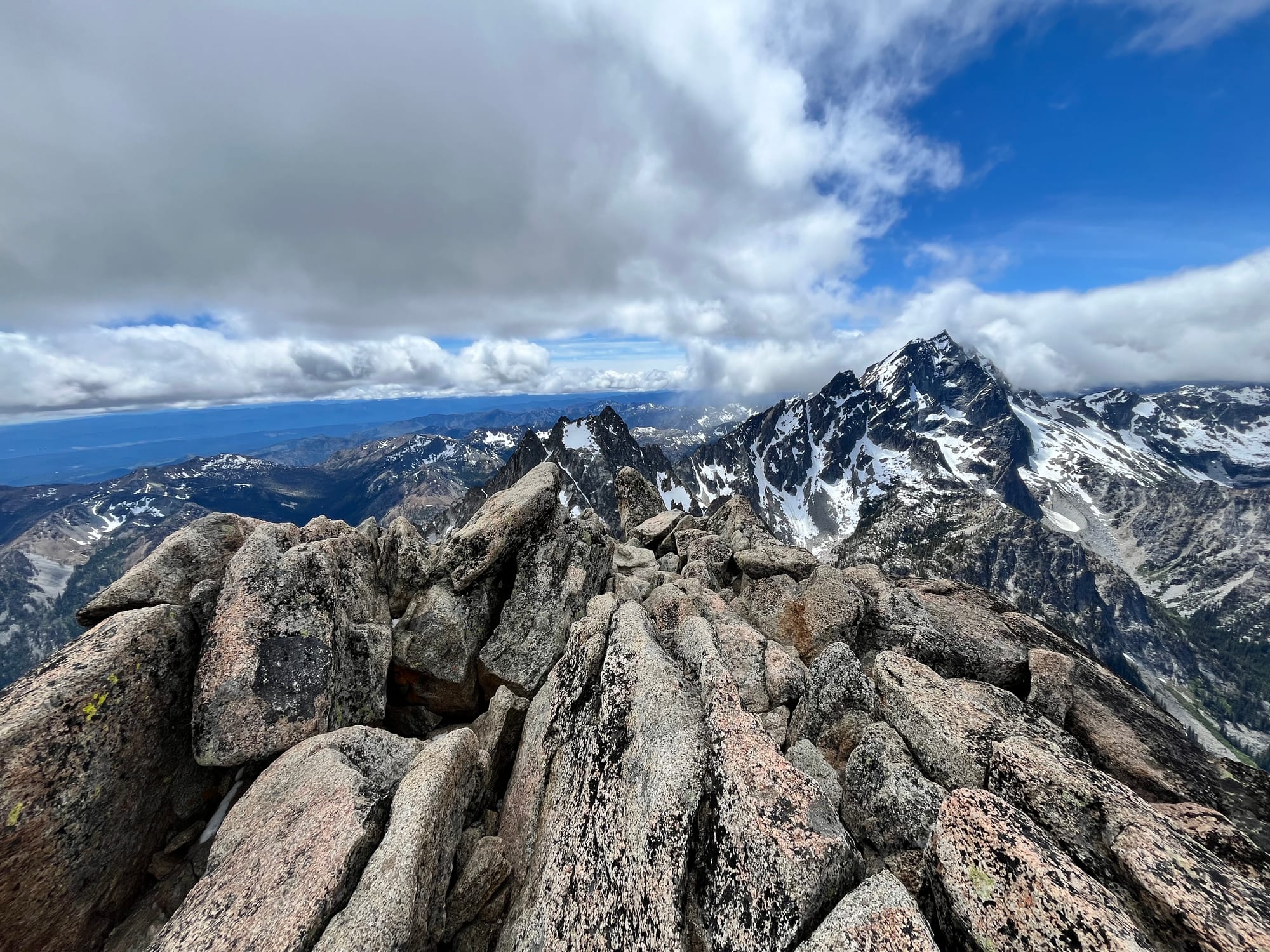
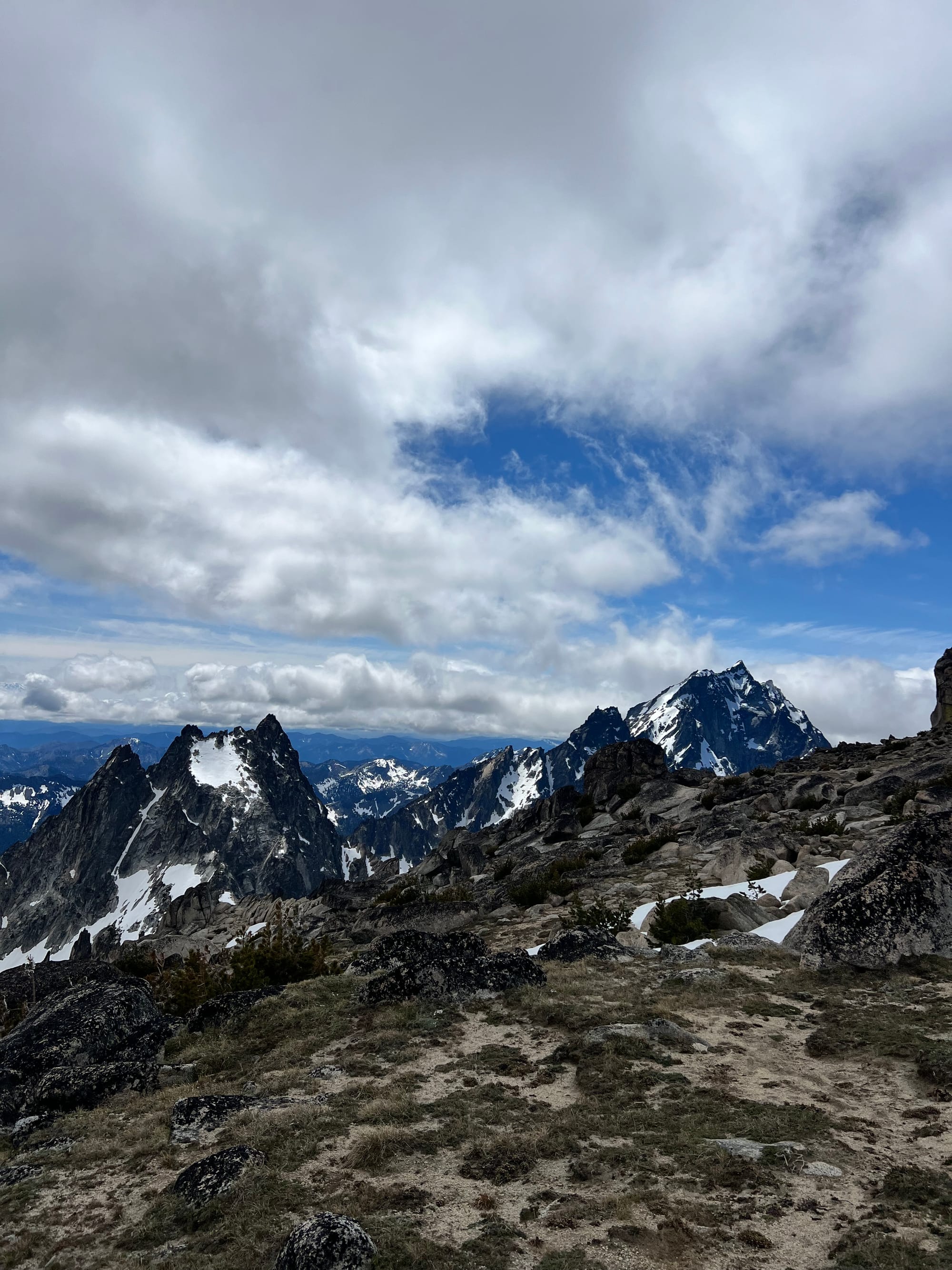
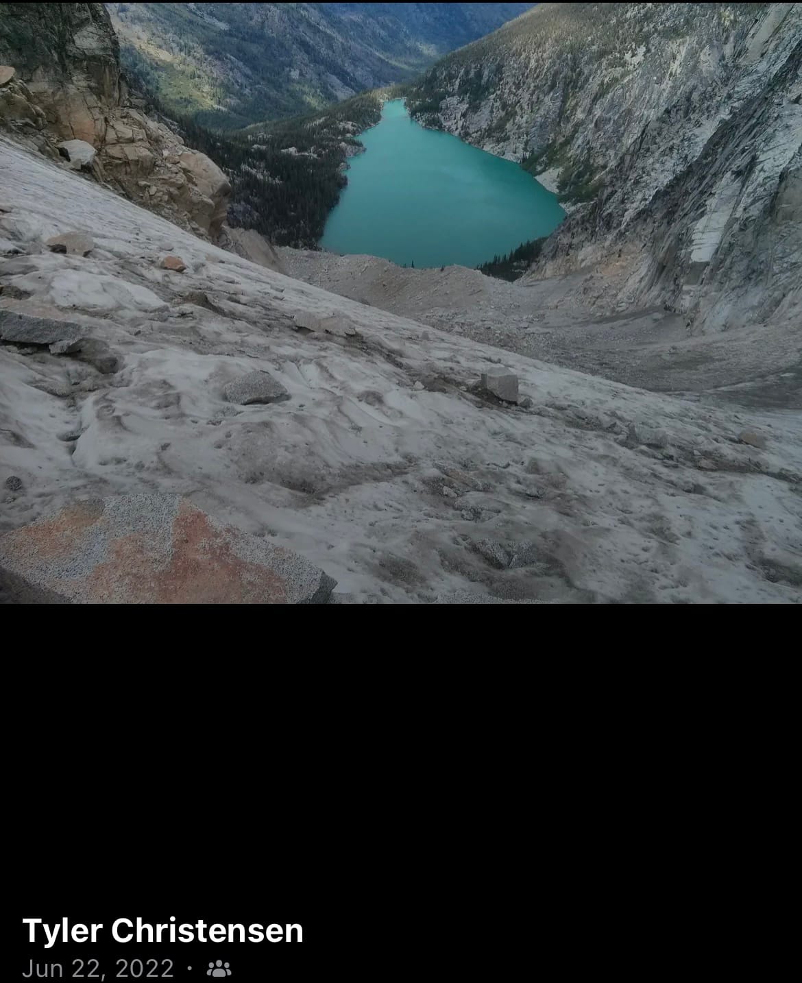
We got to the summit just before 2PM. It was an interesting rock formation with beautiful views and a sheer drop off to the north.
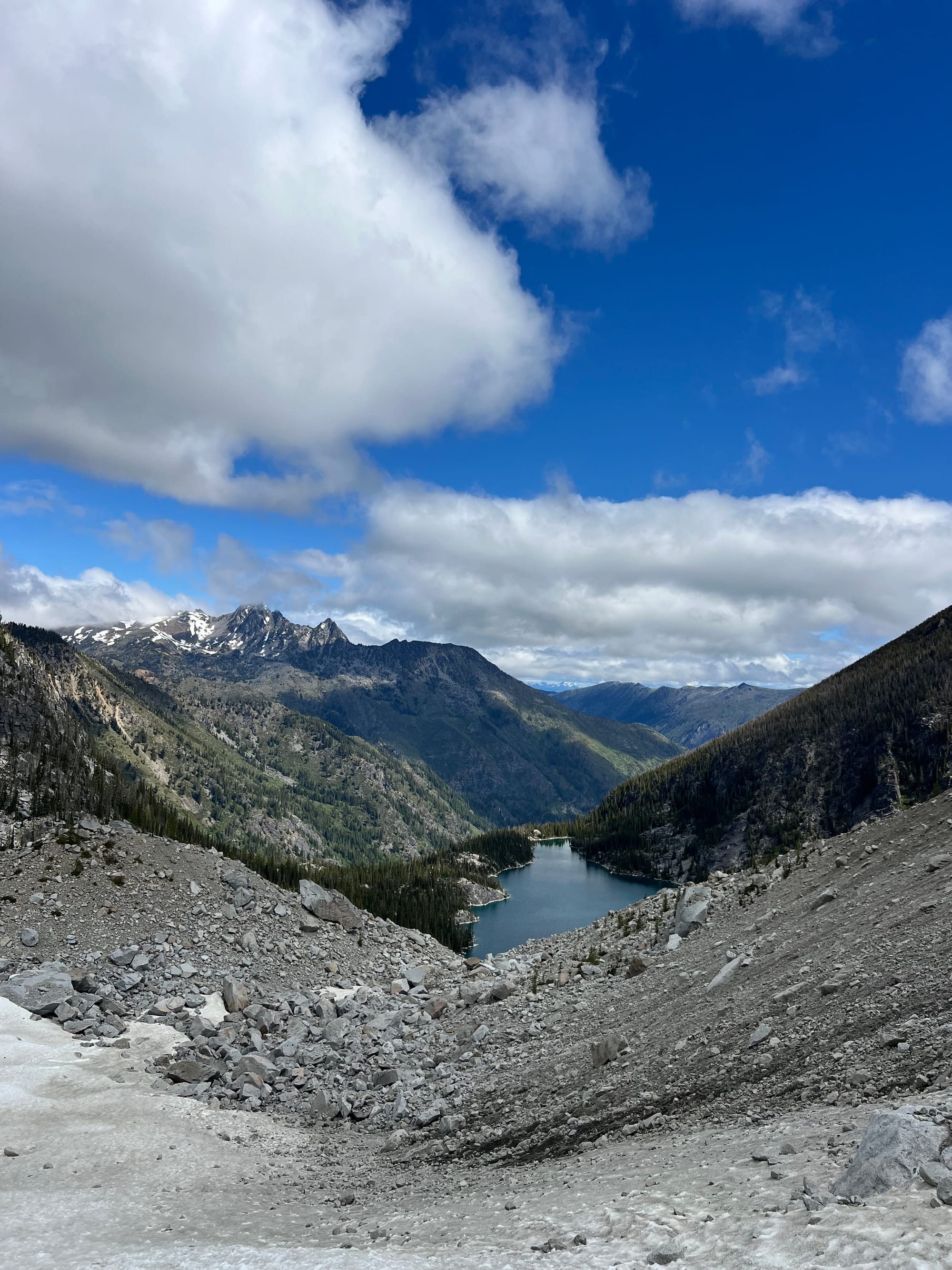
We were back at the col around 4 and descending the glacier again around 4:30PM.
Luckily, due to the clouds and shadowing rock walls, the snow was still a great texture. The glacier wasn't slushy despite how far behind schedule we were. We were able to wear our crampons without snow balling up. The snow still felt stable and consolidated late into the day.
Due to the late timeline, I would have chosen up to rope up after descending the headwall. The glacier is still steep here though and the flatter benches were heavier rockfall zones. The idea of roping up on the steep terrain was unbecoming to my new partners. I didn't want to stop in the flatter more rockfall prone areas, so we decided to just try to get off the glacier and through the rockfall zone quickly.
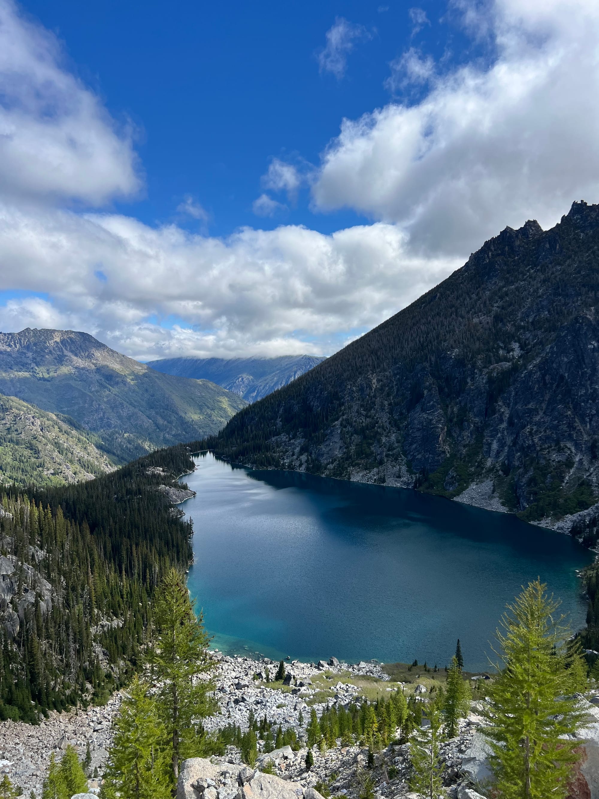
We were back to the start of the boulder field a little before 6PM.
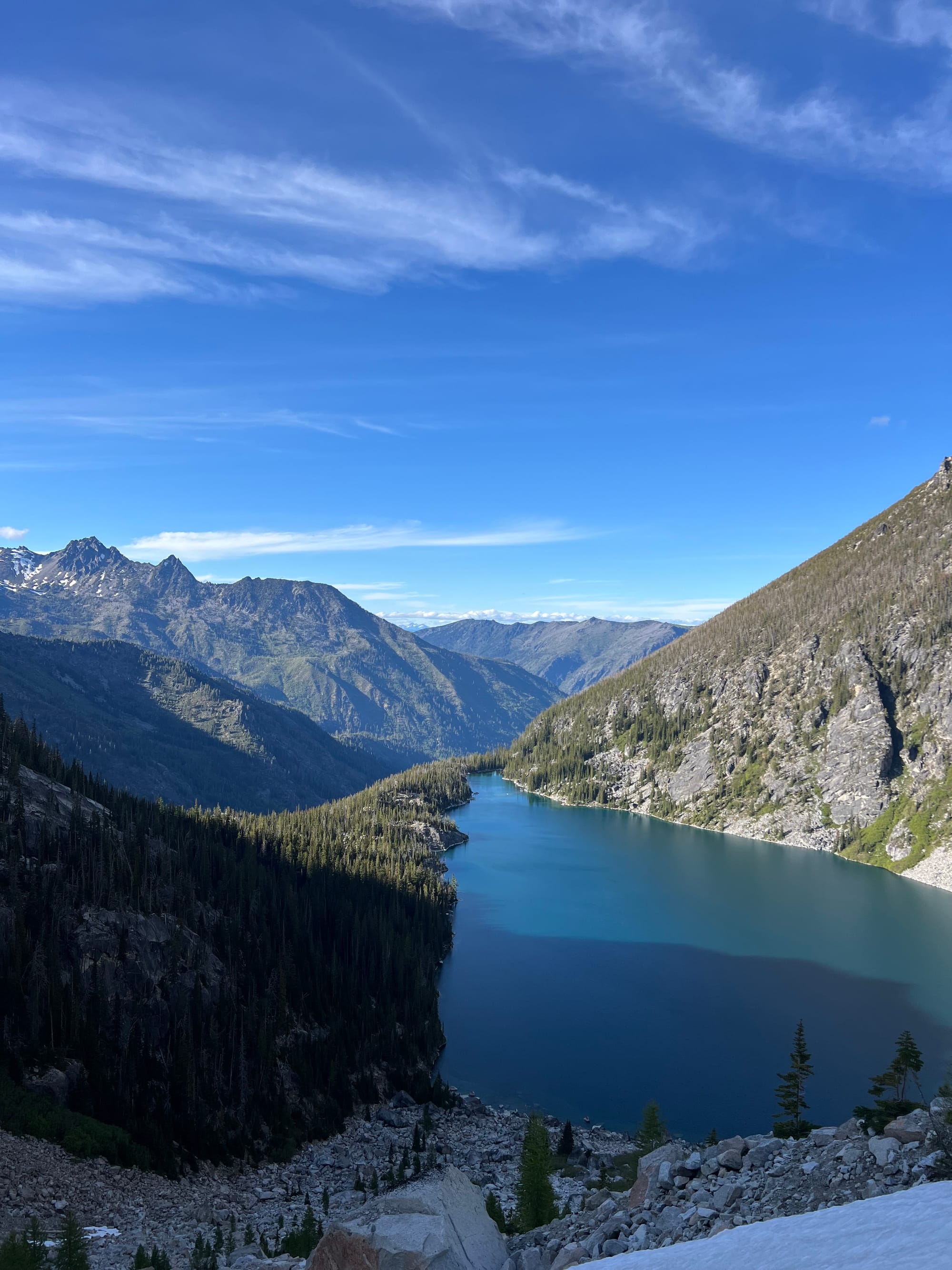
We were back down to Colchuck Lake around 7PM and stopped here to refill water.
We were on track for a 15 hour day. Long! But still on on the upper end of normal— even as a beginner team! Alex and Meredith crushed it! They handled the steep snow and scrambles like born mountaineers. I'm so proud of my brave and strong friends!
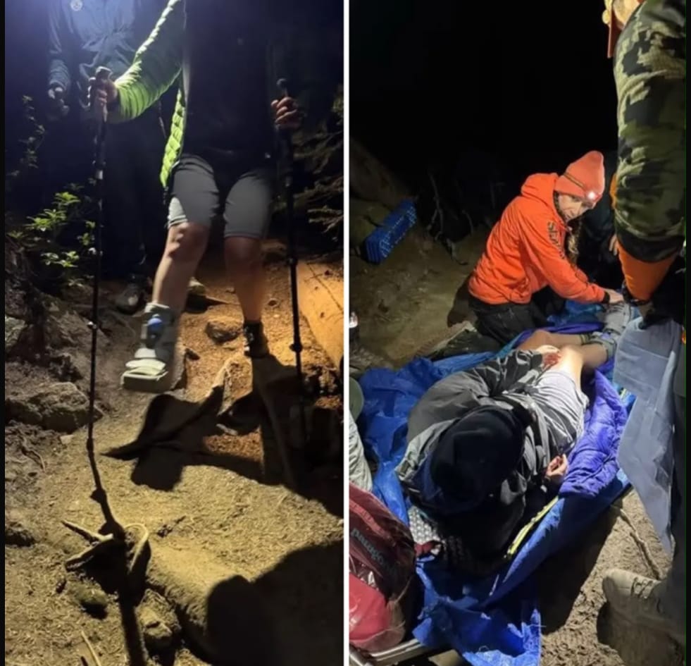
Shortly after Colchuck Lake, we found a woman who had badly hurt her ankle. We stayed with her and her partner while we figured out a plan.
She was immobile; she tried hiking out but had made it maybe 150m in an hour. The terrain was very technical, with even more technical sections ahead of us. We gave the pair our SOL bivy, emergency blanket, and some medical supplies (an ankle wrap, pain meds, and a SAM splint). Her ankle was very swollen and painful, but she was super tough and in good spirits.
Alex activated the SOS function of his inReach and communicated with Search & Rescue. Once we had confirmation that SAR was sending a team, the two assured us that we should hike out and they would be fine to wait for the rescue team. SAR asked the pair to remain in place so we wished them as smooth of an exit as possible and left the pair at 9pm. We made it back to the trailhead around 11, a 17 hour day in the backcountry. The Enchantments' "time warp" reputation prevails.
As we were driving out, we saw the SAR cars heading up.
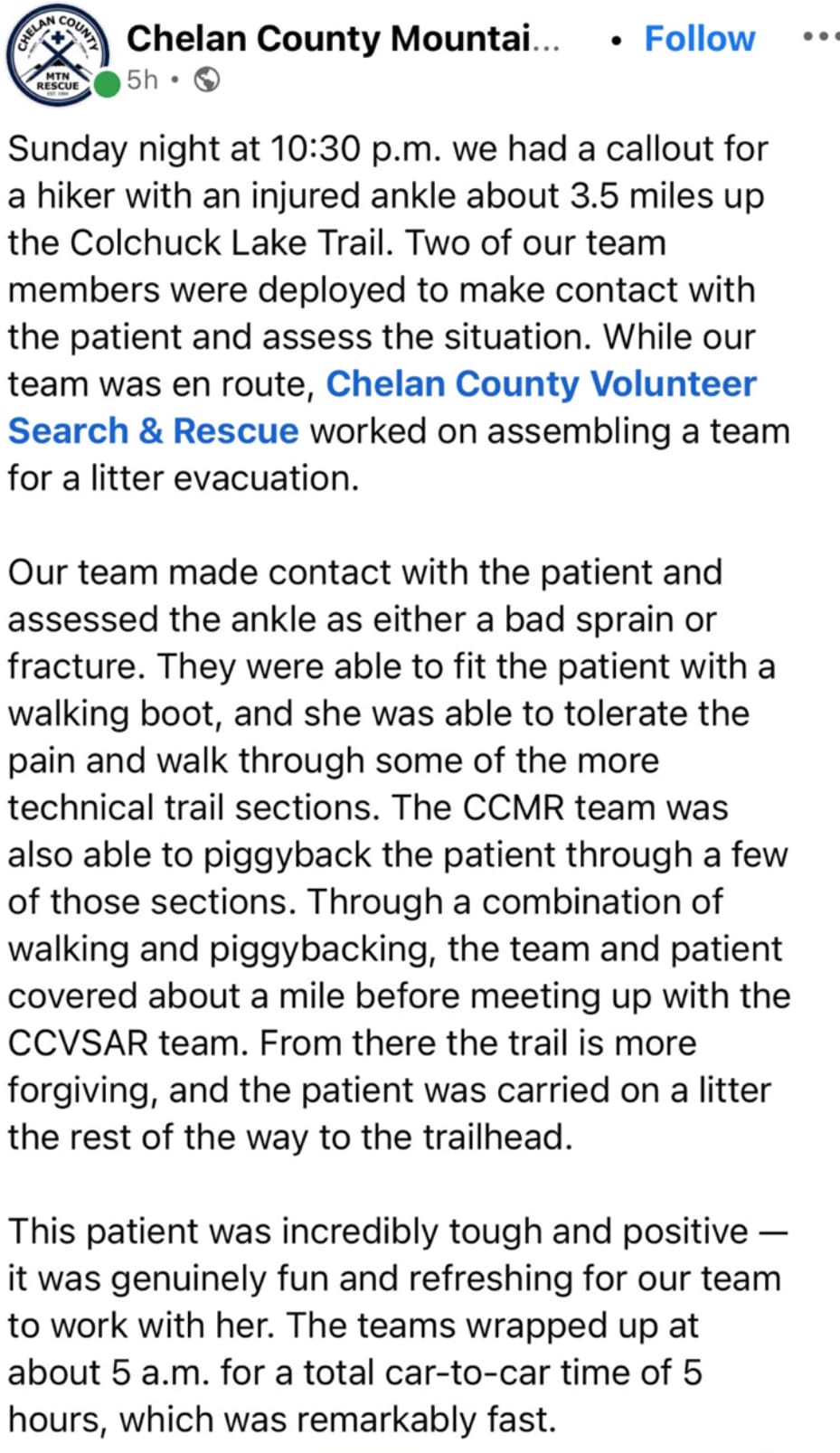
Chelan County Mountain Rescue’s report on the rescue
Colchuck Glacier Crevasses:
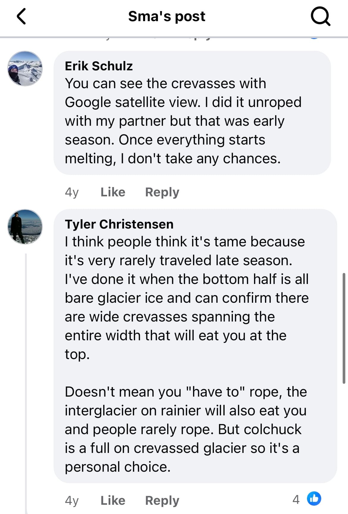
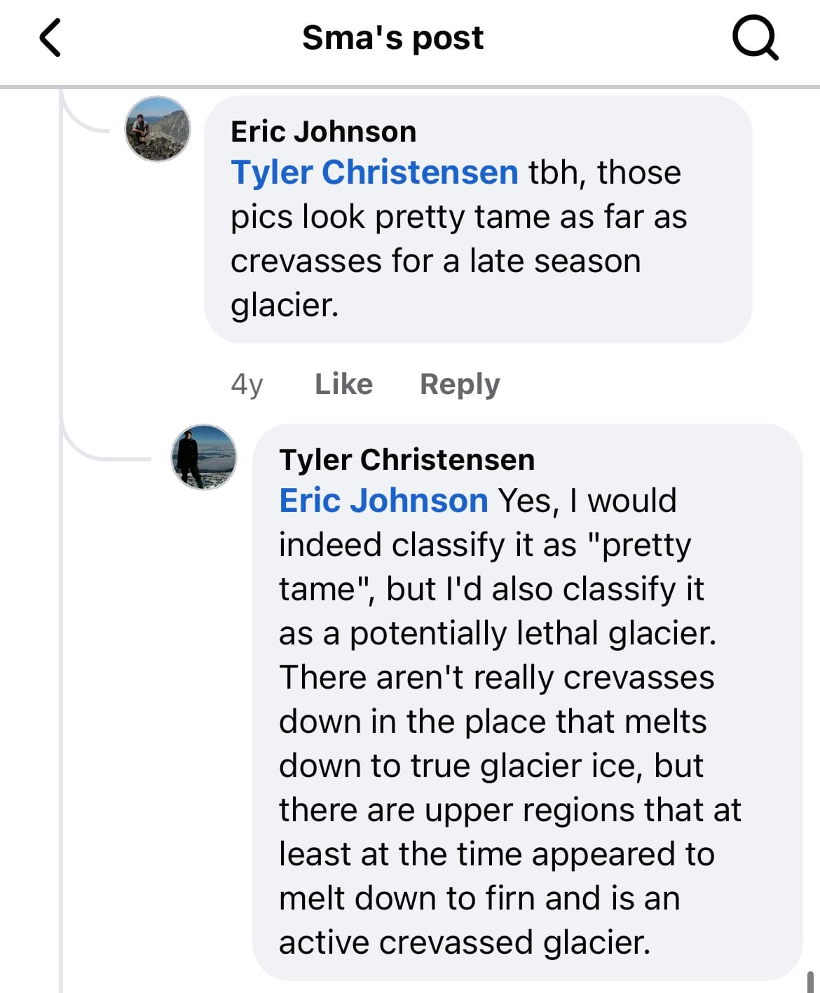
Lots of people declare Colchuck Glacier crevasse-free, but this peak is rarely climbed late season when the snow melts and the glacier turns to steep bare ice.
Here is beta (and crevasse photos) from Greg's friend Tyler (who has actually been up Colchuck as a dry glacier):
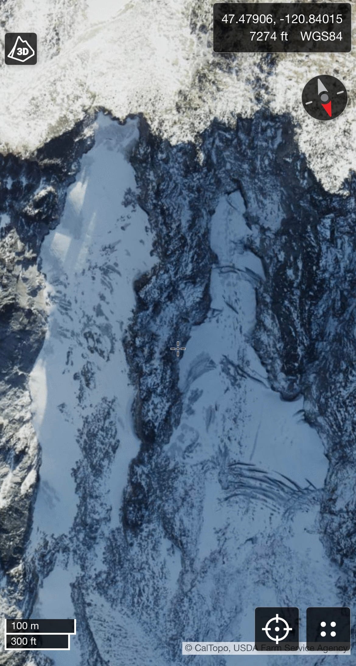
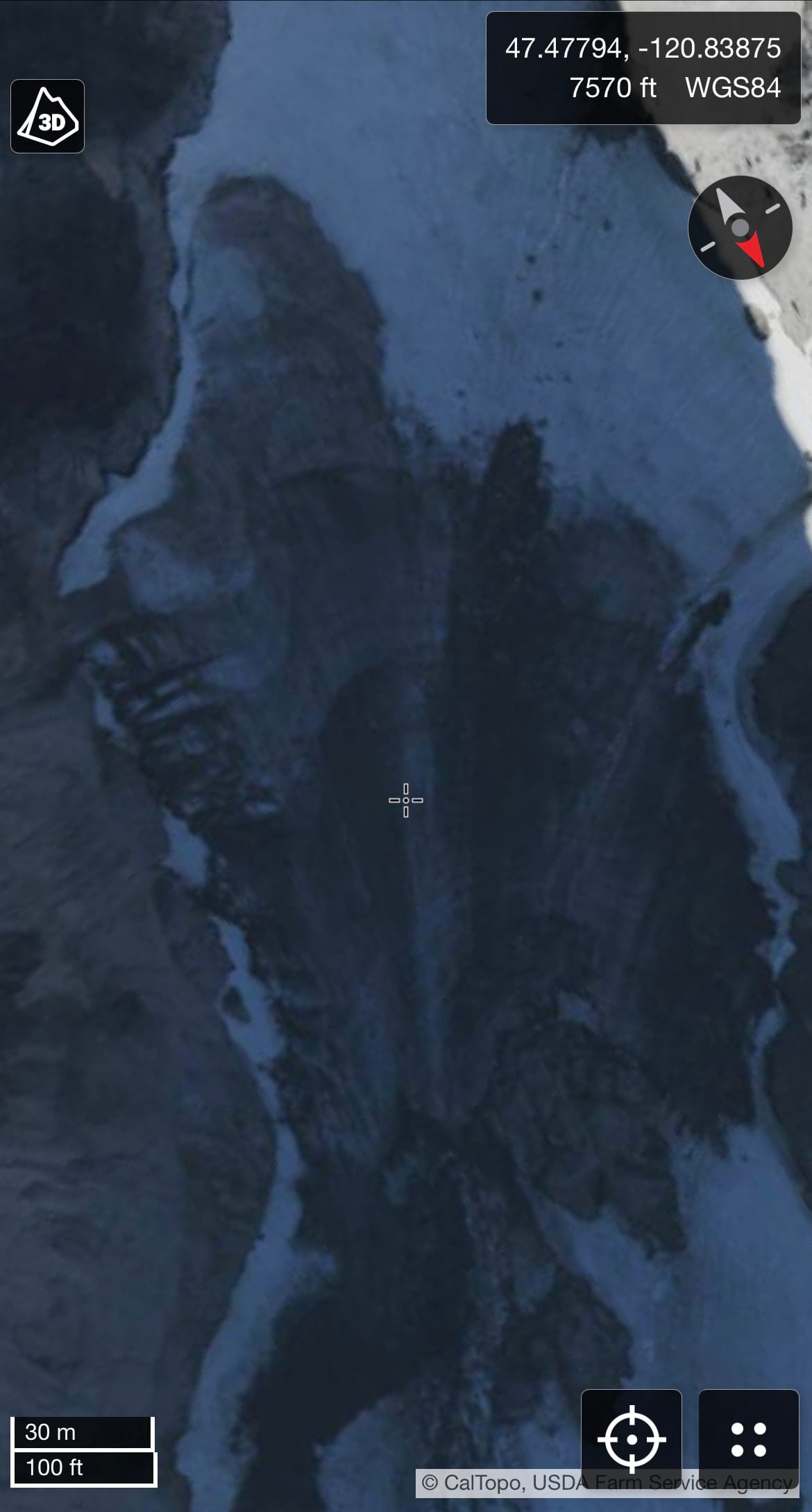
You can also view the late season satellite imagery for yourself on Google Earth or Caltopo.
Roping up or not is a personal choice but basing that decision solely on not actively seeing any crevasses is common in the Cascades. I've heard this rhetoric on other, more heavily crevassed glaciers as well and it has never made much sense to me.
Sometimes other factors affect the decision to forgo the rope (ex: method of travel (like downhill skiing, where the ski surface distributes the climber's weight and roping up for a ski descent can introduce its own hazards), climbing a steep slope without protection between climbers, if self arrest is possible in current conditions or if a fallen team member might sweep an entire rope team off their feet, weather and snow conditions (and therefore snowbridge conditions), etc). But just because you can't currently see a danger, doesn't mean you should blindly assume that it does not exist.
Snow bridges can obscure crevasses, making their absence from view a poor indicator of their absence from a glacier. This is especially true for steeper glaciers that few bother to journey to once the snow melts and travel becomes more difficult.
Climate change is melting our glaciers, but an unlucky fall on a shrinking "tame" glacier could still be potentially lethal or life changing. Assuming calculated risk is one thing, blind risk is another.
Who knows what's under the snow? But if you're going to put yourself on a glacier, it's certainly worth considering.
Gear:
- backpack
- water
- food
- hiking poles
- trail runners
- Aquatabs / water purification
- crampons and crampon bag
- ice axe
- climbing helmet
- mountaineering boots
- rope (Petzl RADline)
- harness
- crevasse rescue equipment (picket, Ropelite 5mm cord to use as a friction hitch, microtraxion, tibloc, pulley, slings, carabiners)
- glacier goggles
- sunscreen
- warm layers (fleece, puffy jacket, hardshell jacket)
- layers for sun protection (sun gloves, sun shirt, thin buff, hat, etc.)
- Garmin Inreach
- headlamp
Beta:
Check out Meredith's trip report from this day here!
Colchuck Peak - Peakbagger.com (includes GPS tracks)
Colchuck Glacier : Climbing, Hiking & Mountaineering : SummitPost
Colchuck Lake, Colchuck Peak — Washington Trails Association
Colchuck Peak — Washington Trails Association
Rock Climb Colchuck Glacier, Central-East Cascades, Wenatchee, & Leavenworth
Colchuck Peak via Colchuck Glacier - Wenatchee Outdoors
Climb to the Summit of Colchuck Peak, Leavenworth, Washington
Colchuck Peak — Washington Trails Association
https://stephabegg.com/trip-reports/washington/cbr-nw-ridge/#