Mount Adams SW Chutes (5/31/2026)
The classics are classic for a reason.


Sunday, 5/31/2026
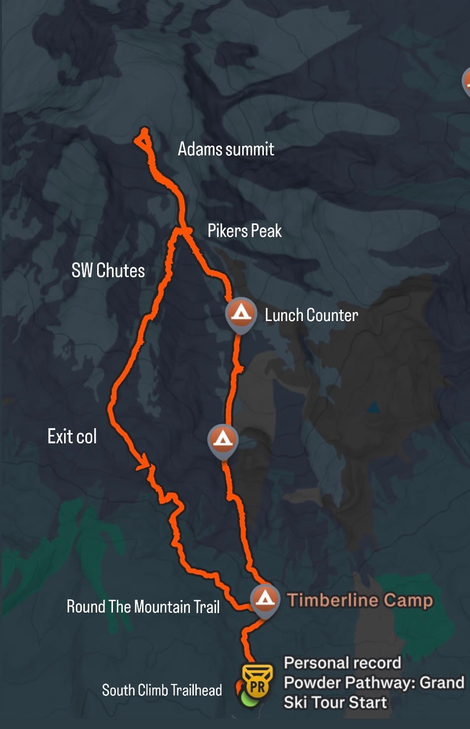
Stats: 13.91 miles & 7,110 feet of elevation gain
Map:
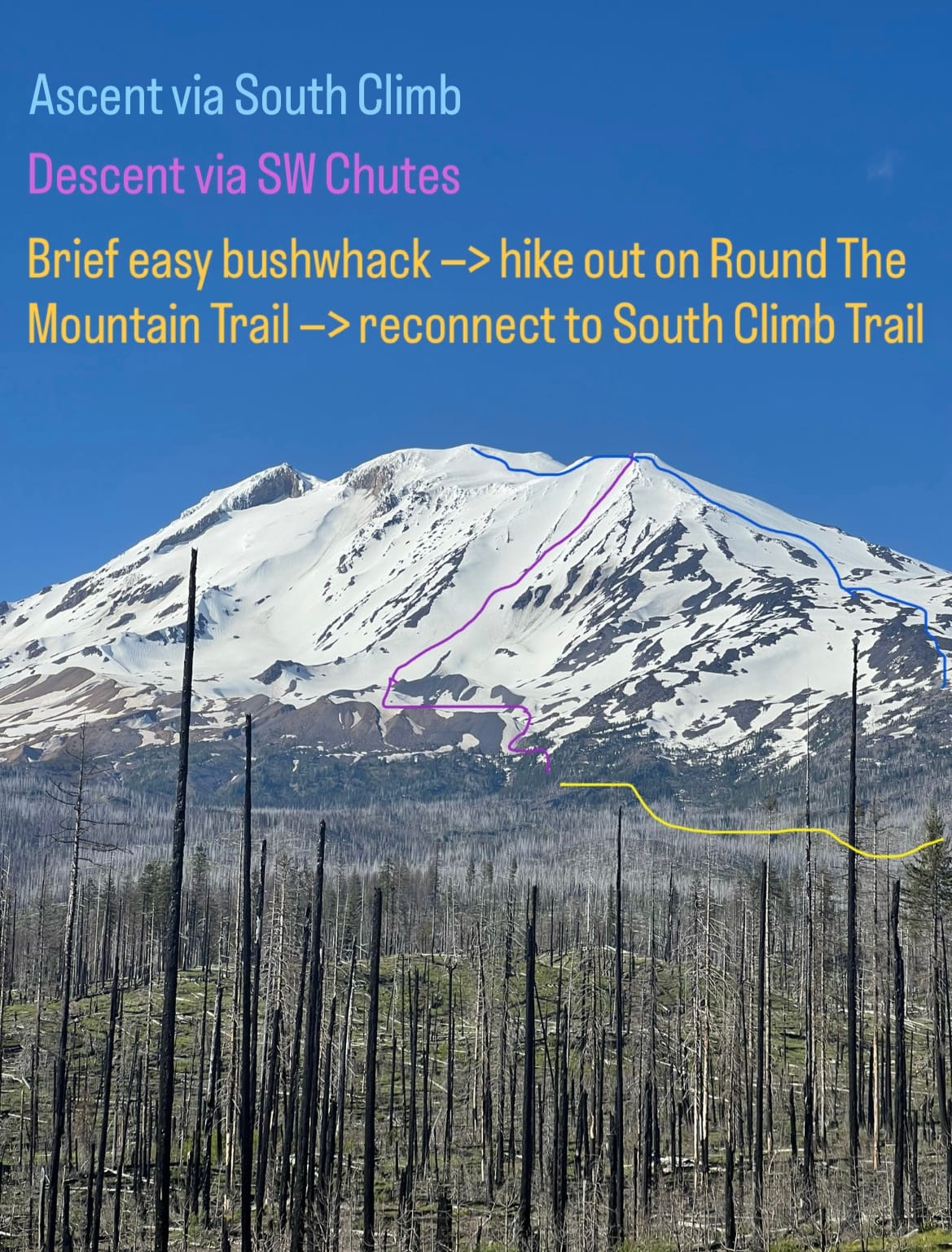
Route Description:
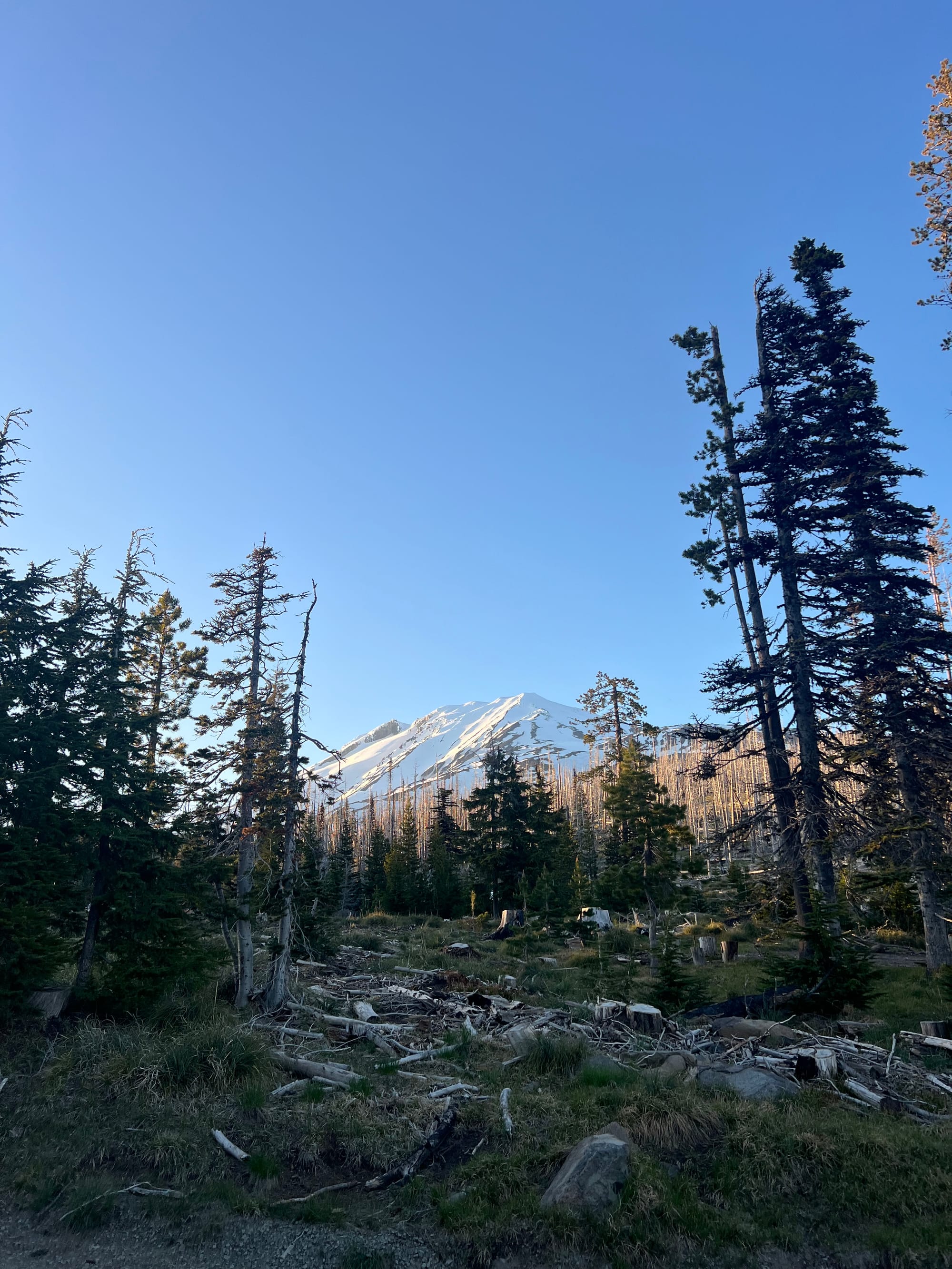
Starting at the Cold Springs/South Climb Trailhead, ascend the South Spur climber’s trail. This starts as a wide, old road and becomes a thinner trail as you climb. This trail intersects Round The Mountain Trail at Timberline Camp (6,250 ft). The trail eventually ends at snow line and the best route will depend on current conditions. Continue climbing North to the Lunch Counter, where many on-foot climbers like to camp (9,000 ft). Ascend the false summit and top out on Pikers Peak (11,657 ft). The entrance to the SW Chutes is to your left (West) from here. Climb another ~700’ to the true summit (12,276 ft— the second tallest peak in WA!).
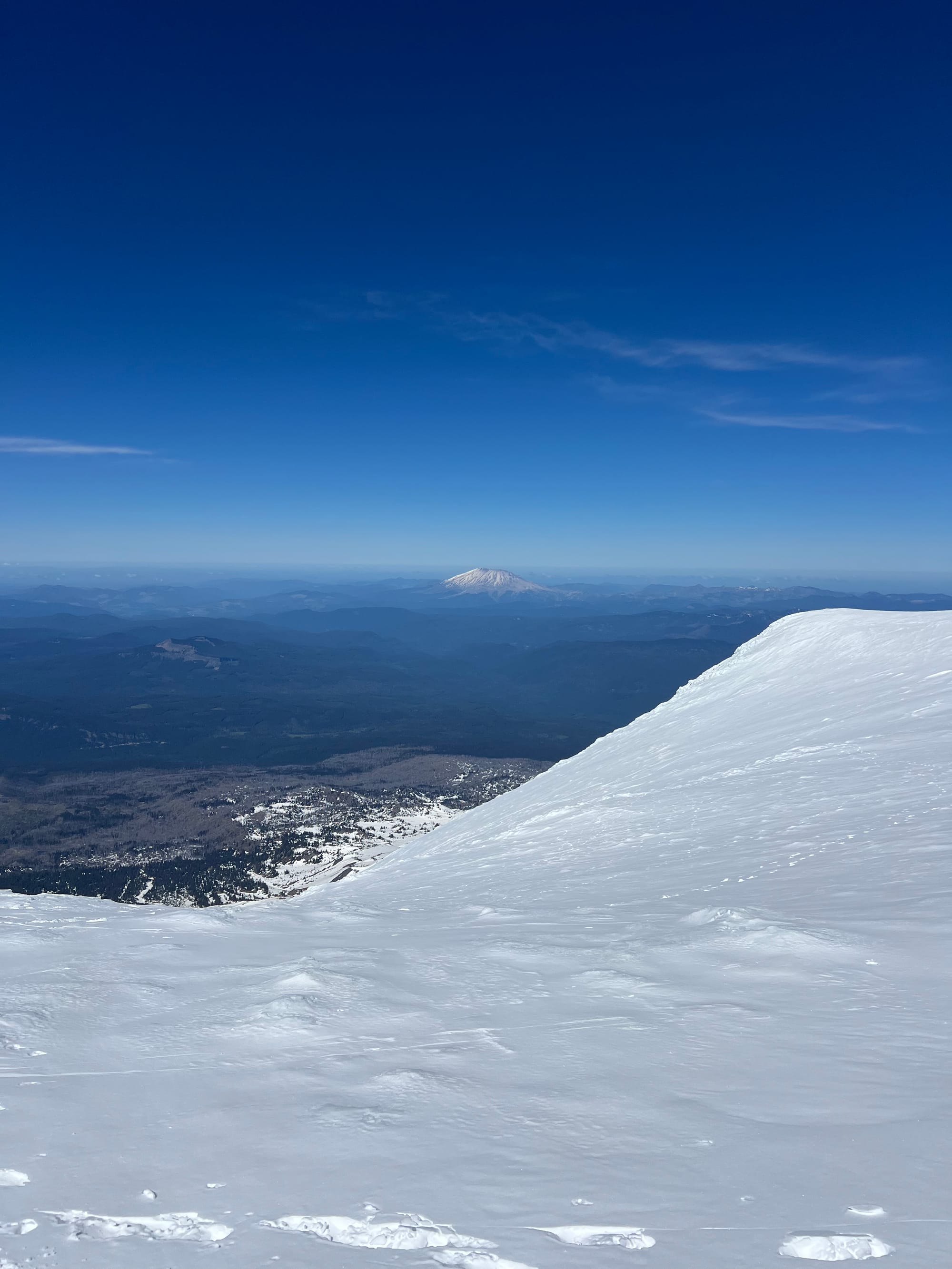
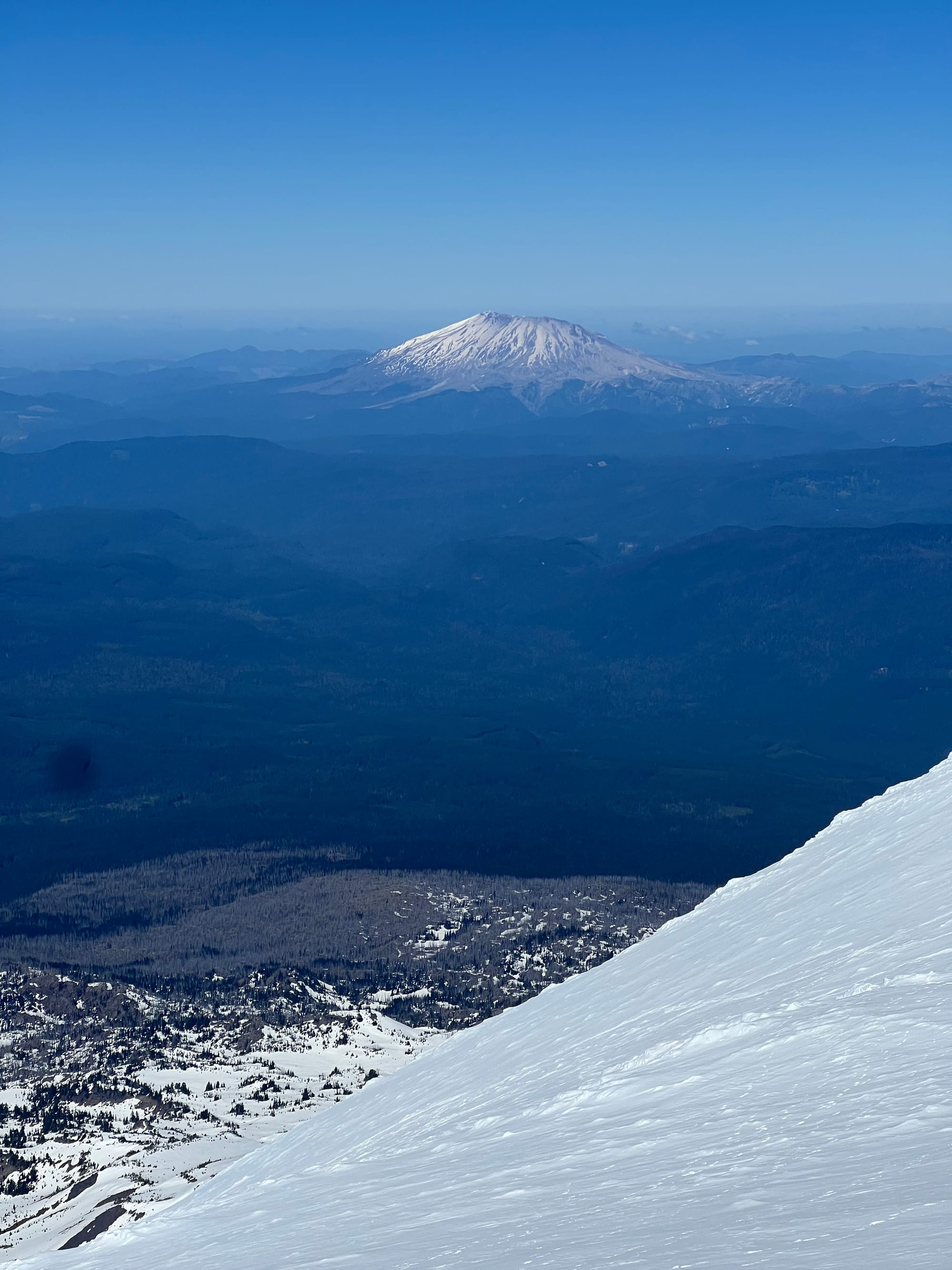
Returning to the top of the SW Chutes, ski/ride the chutes down to ~7,100 feet, enjoying thousands of feet of 35 degree terrain. Assessing conditions, either traverse left back towards the South Spur climber’s route, or continue down to the Round the Mountain Trail (around 6,100 feet) and follow it back to the left from your descent (East) to meet the climber’s route.
Trip Report:
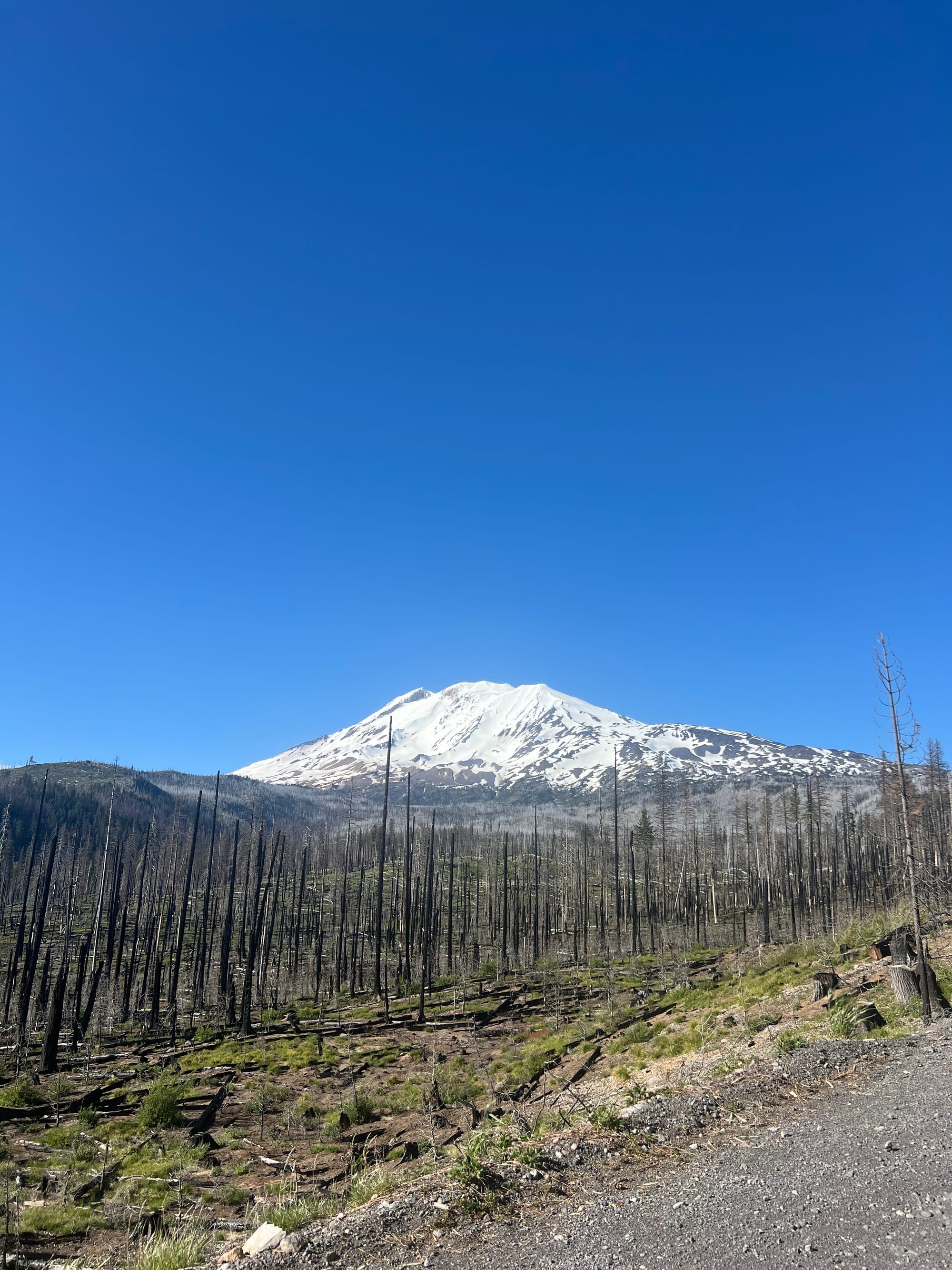
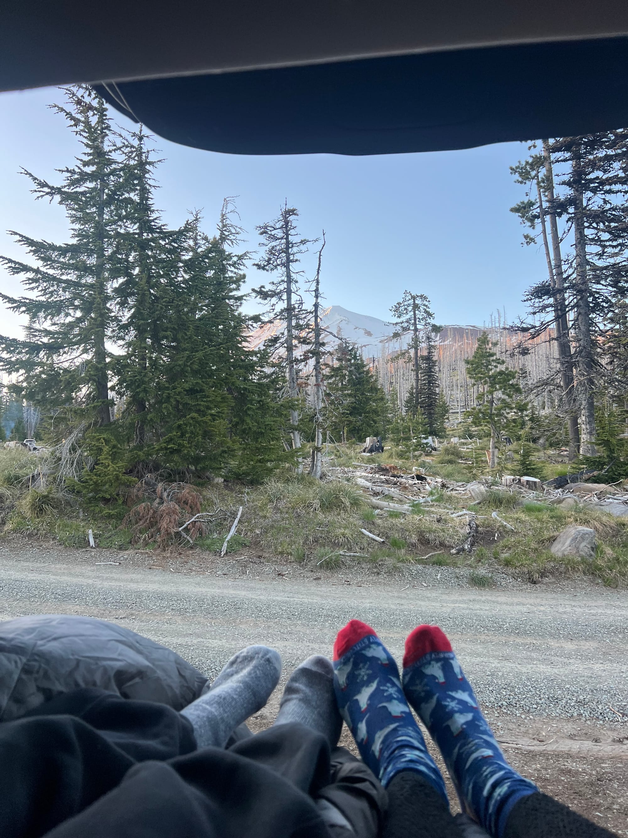
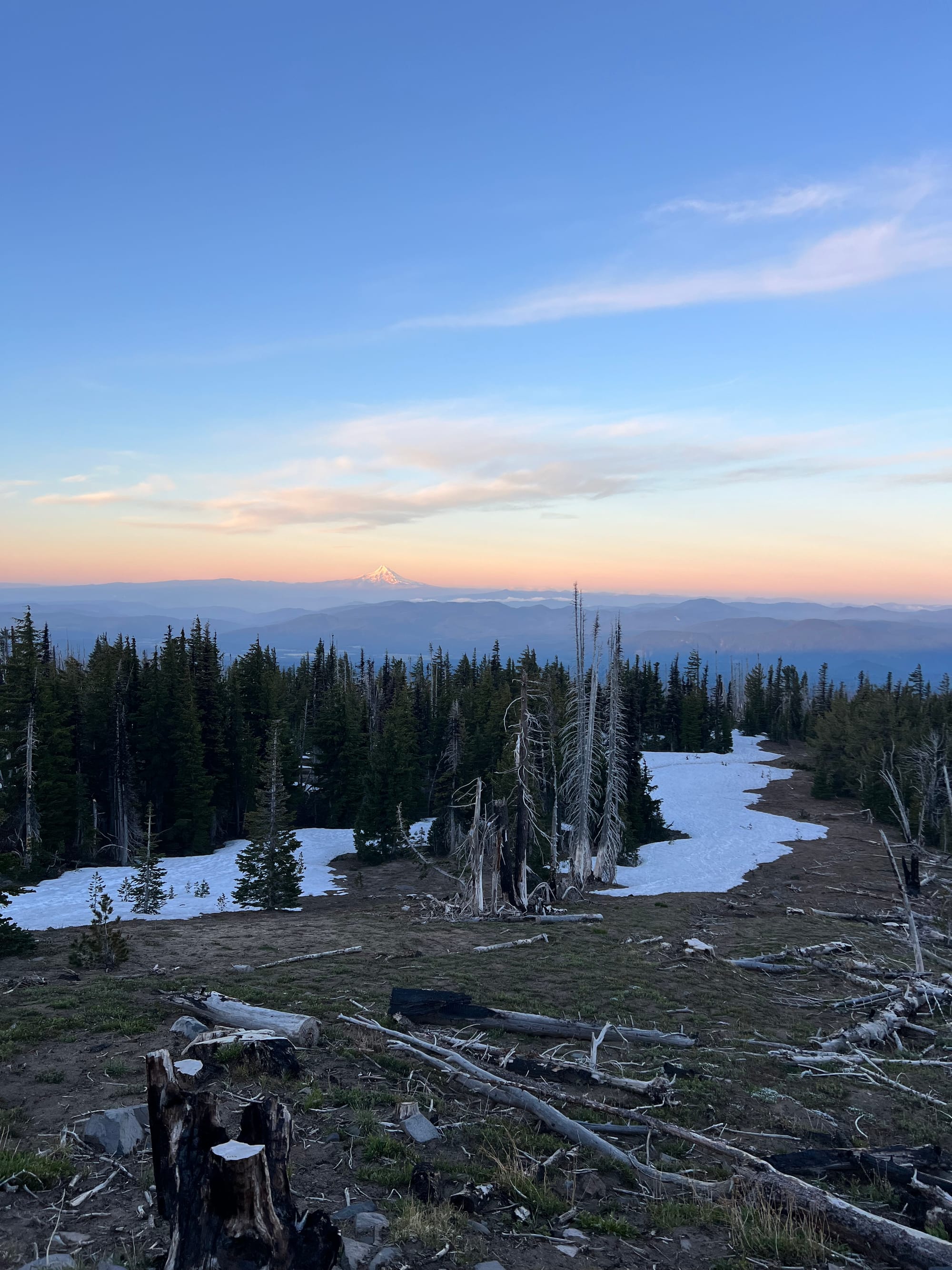
Greg and I car-camped the night before at the South Climb Trailhead. We could see the mountain right from bed!

We started our climb around 5AM. The full moon and early sunrise meant we never put our headlamps on.
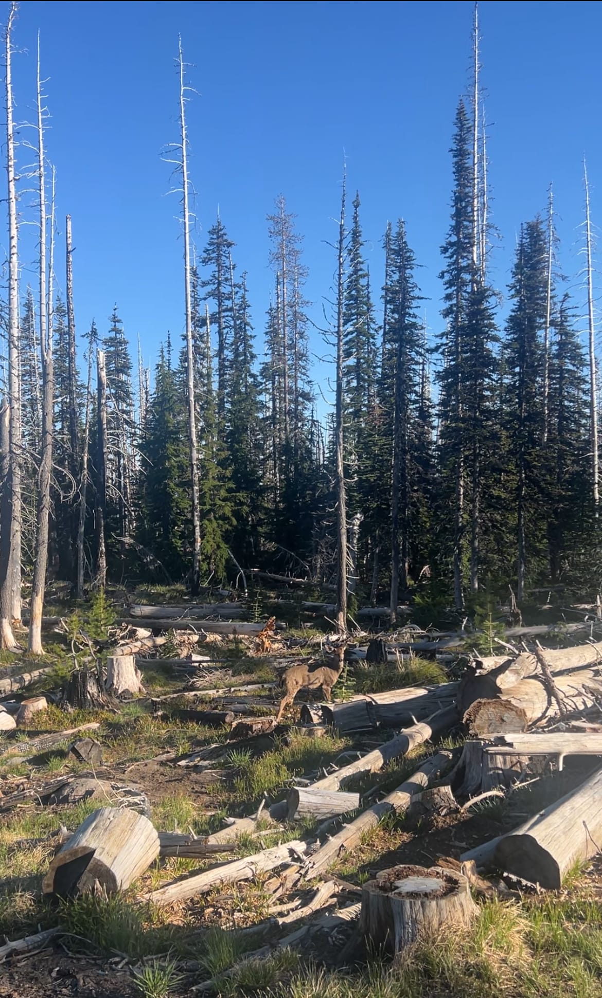
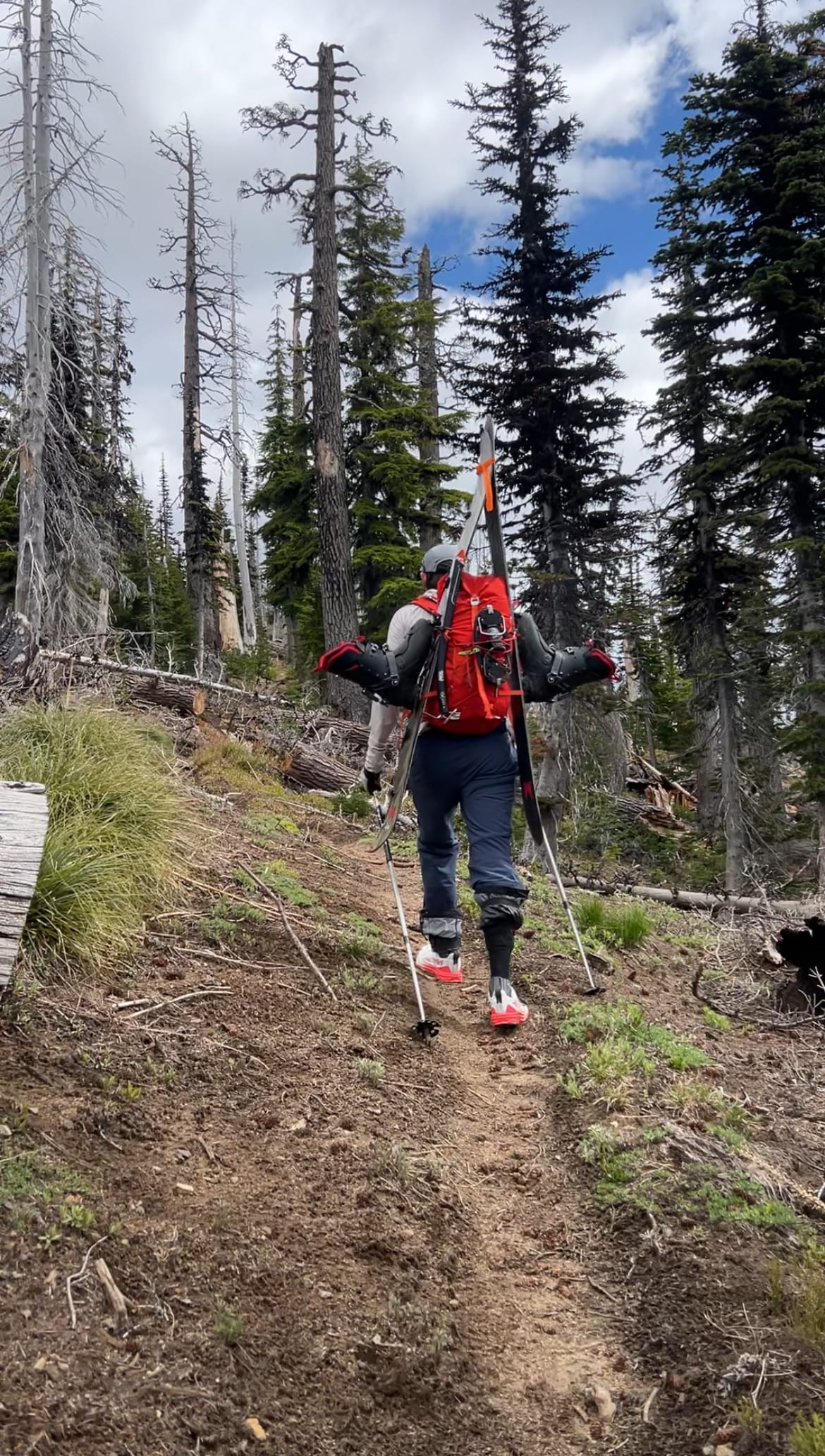
First snow is just after a mile up the trail. Snow wasn’t continuous until 1.5-2 miles. We were glad we brought trailrunners. We actually ended up wearing them all the way to Lunch Counter, just below Pikers Peak/the false summit.
The morning snow was firm and had a lot of runnels and boot prints. Even when the snow became more continuous, the most efficient route involved frequent switching between snow and rocks or dirt. Booting was much more efficient than skinning and everyone who wasn’t skinning was moving much faster, so we just kept our skis on our packs.
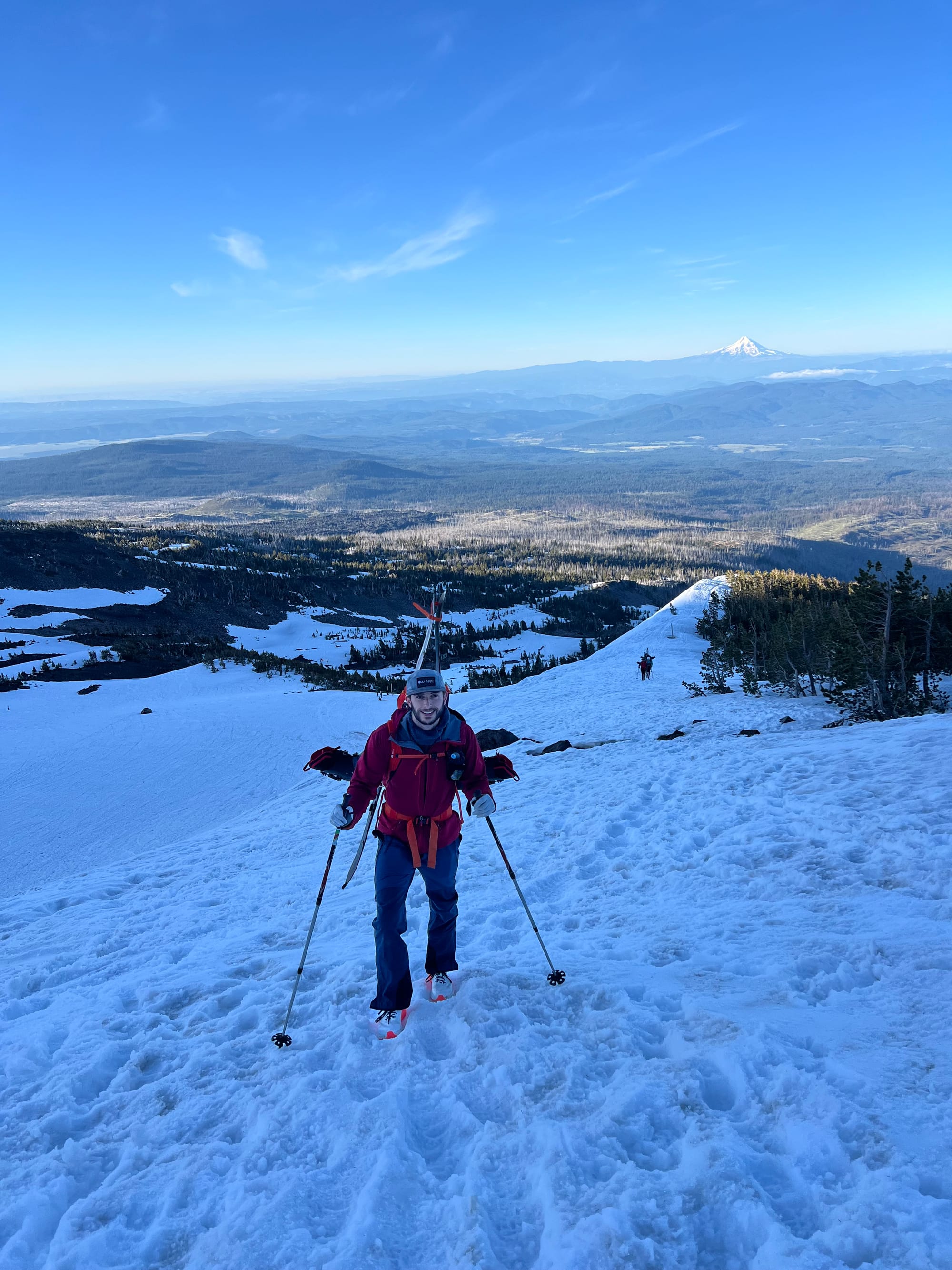
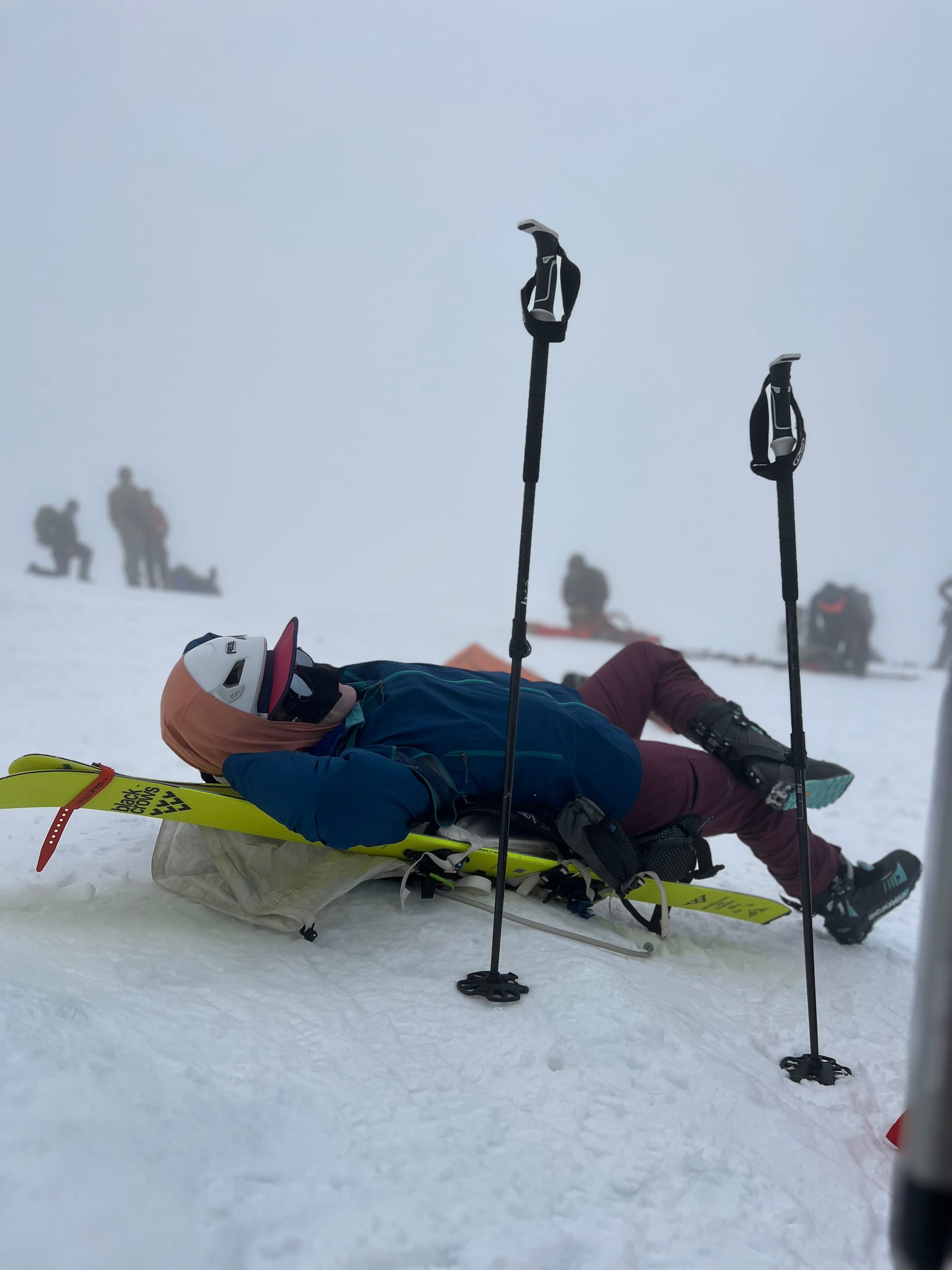
We made it to Lunch Counter by 8am and enjoyed a long break. We switched to our ski/splitboard boots here before starting up the push to Pikers Peak around 8:30. We were on top of Pikers at 10:30.
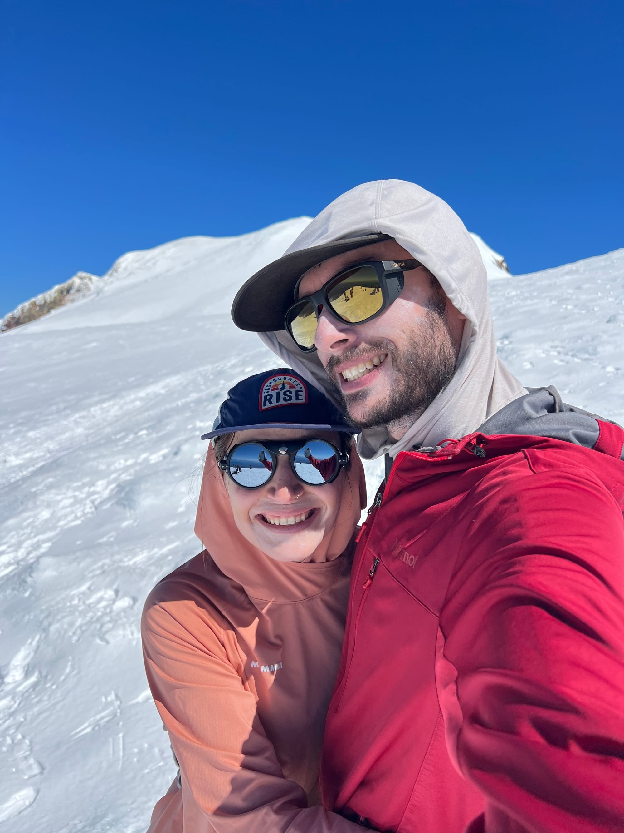
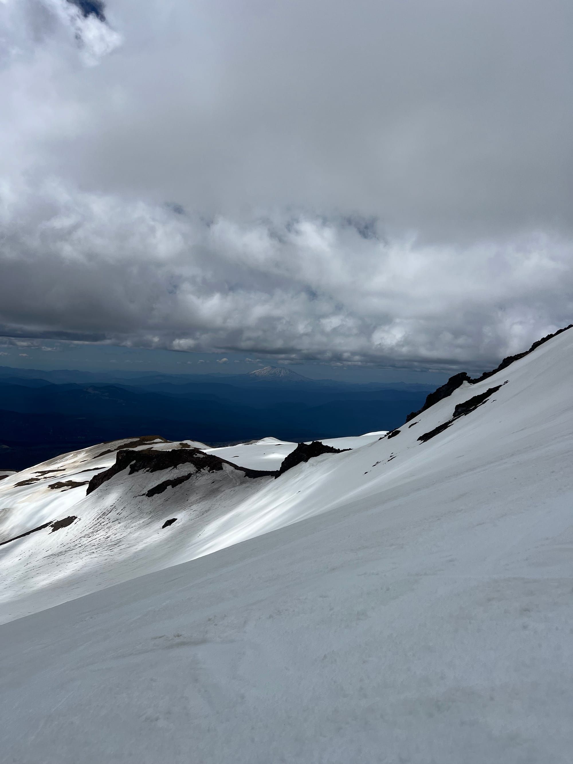
We took another break at the top of Pikers to eat and reorganize gear for a while before running up the last bit of vert to tag the true summit of Adams. The final headwall reeked of sulphuric volcanic fumaroles. We were on the summit around noon.
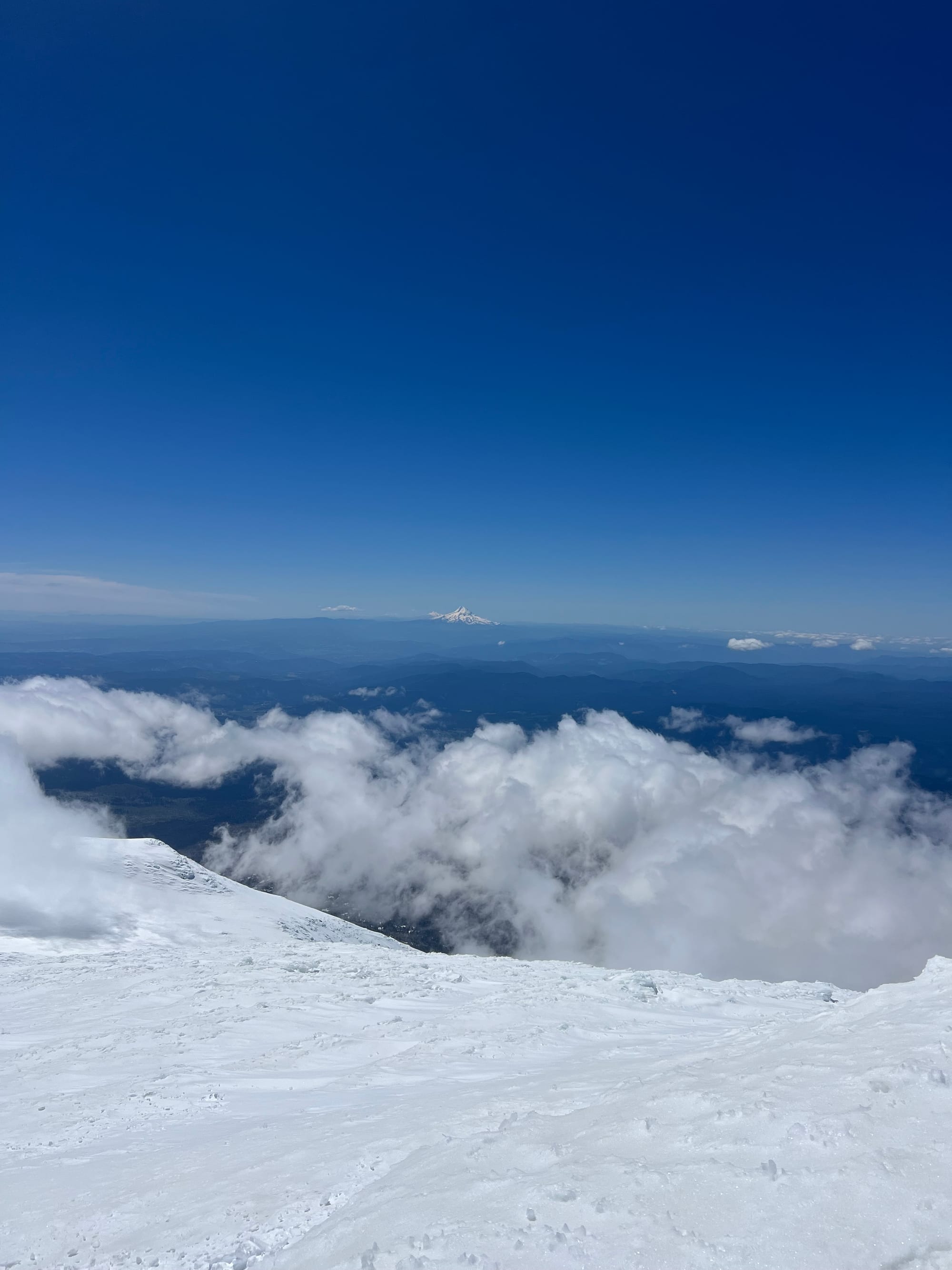
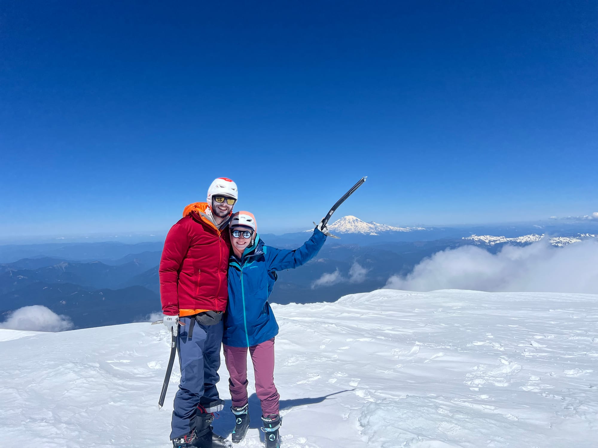
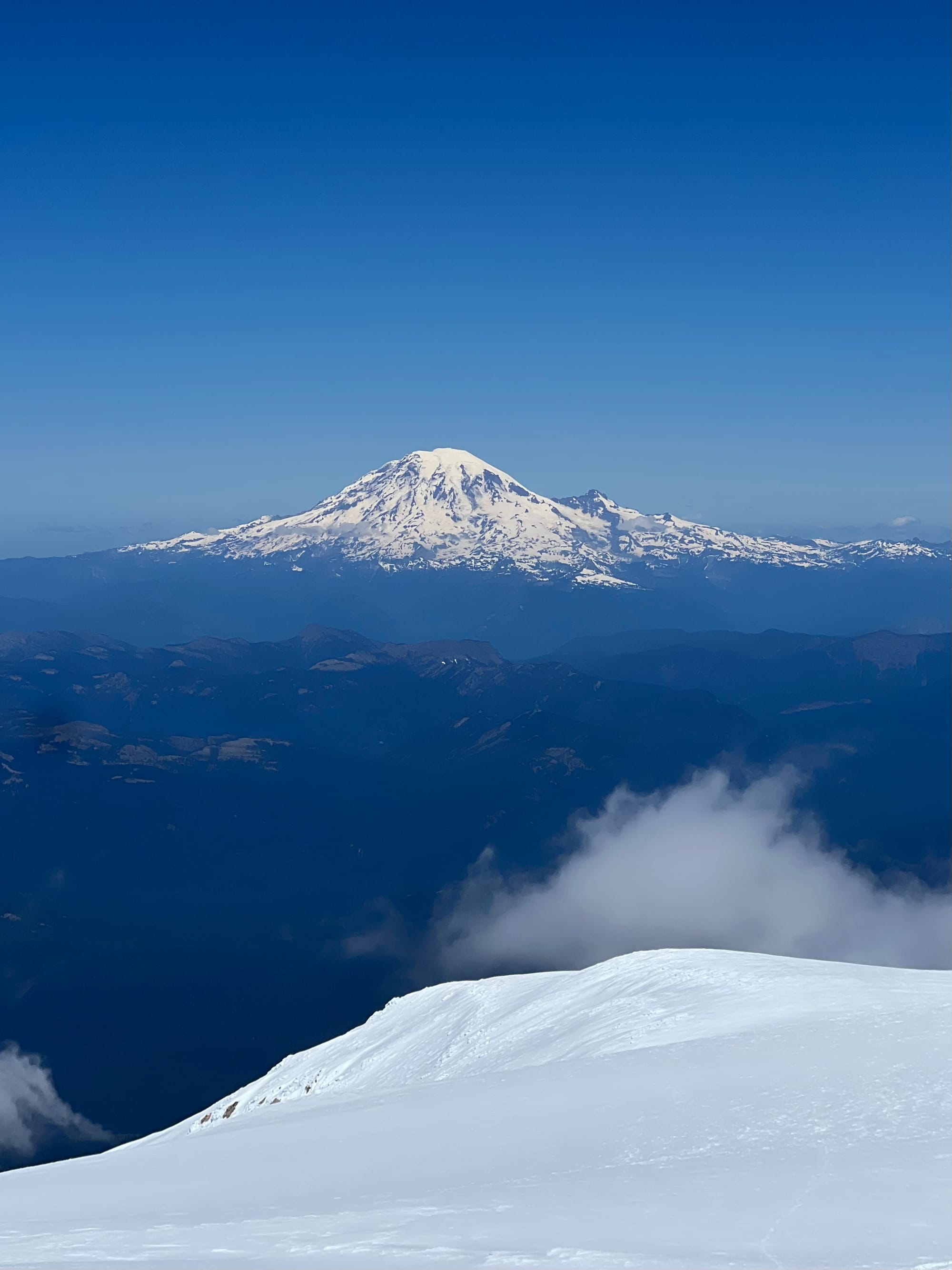
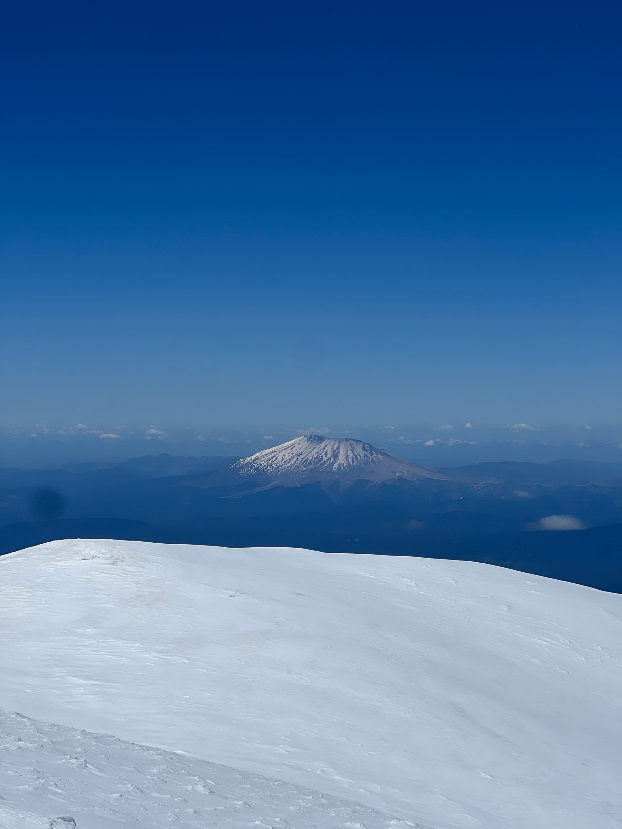
Conditions were so good! It was forecasted to be ~27 degrees Fahrenheit on the summit and sunny in the morning, becoming partly sunny in the afternoon (in WA, this means clouds so thick you won’t be able to see your partner 20ft away). The wind was unbelieveably low. It’s crazy how still and calm it was on such a big mountain. The snow around the summit was powdery and soft.
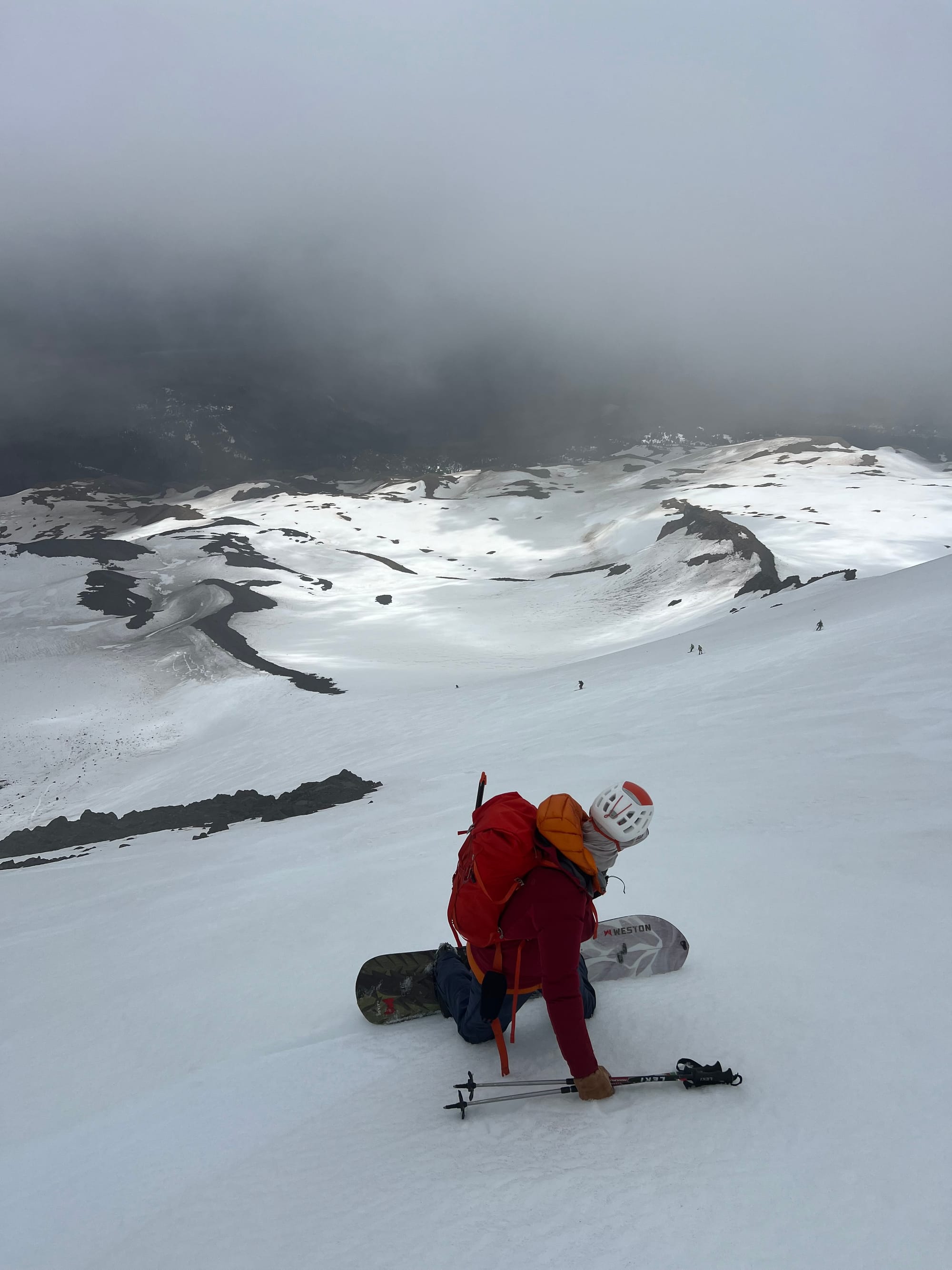
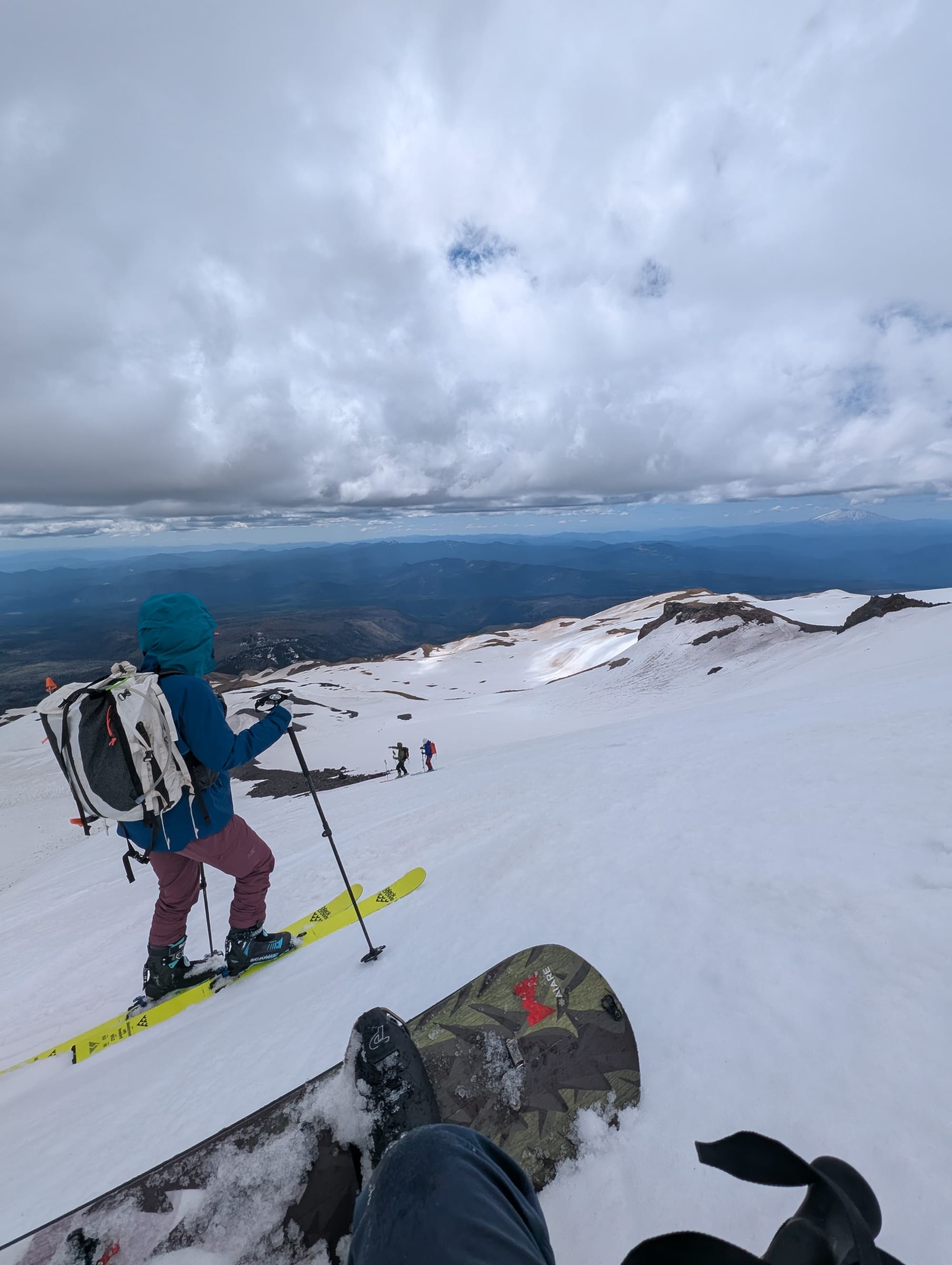
We were back at Pikers around 12:45. No one had dropped into the SW Chutes yet. Everyone was waiting for corn and for the whiteout to clear.
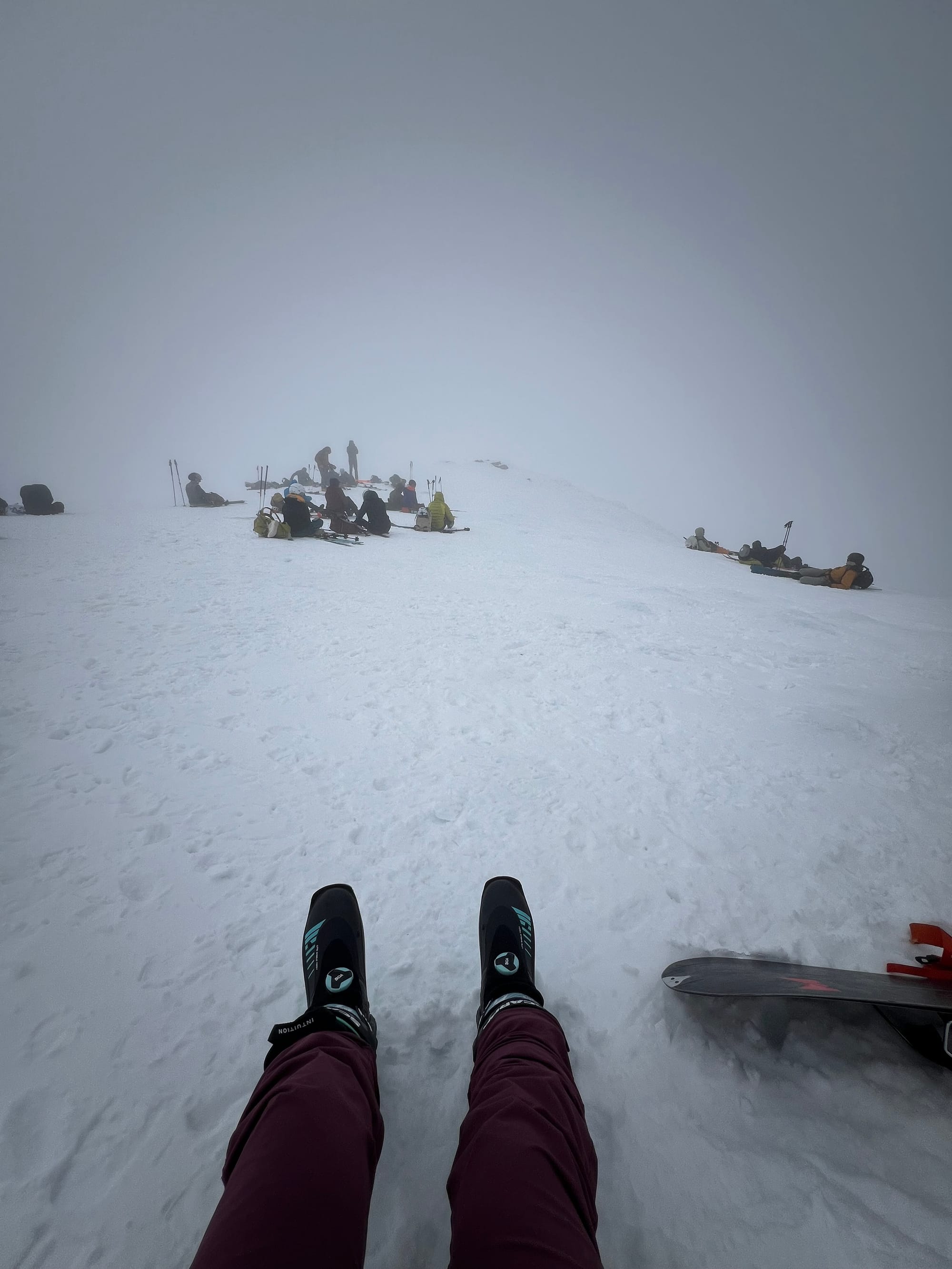
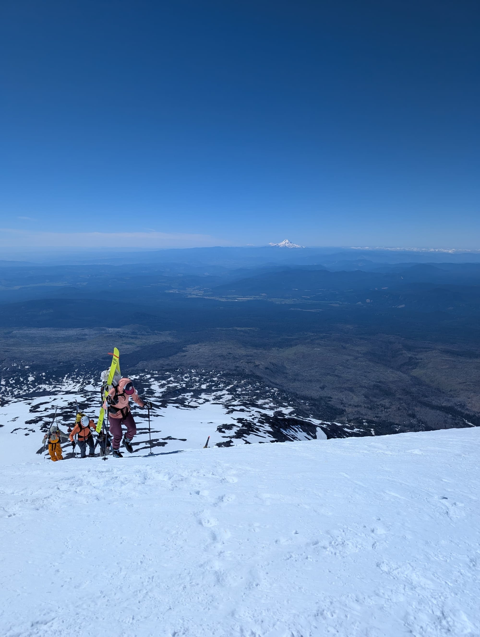
Sometime around 1:20 ish, the first group dropped. Sometime before 2pm, Greg and I got tired of waiting (and thinking of the long drive back to Seattle) and dropped as well.
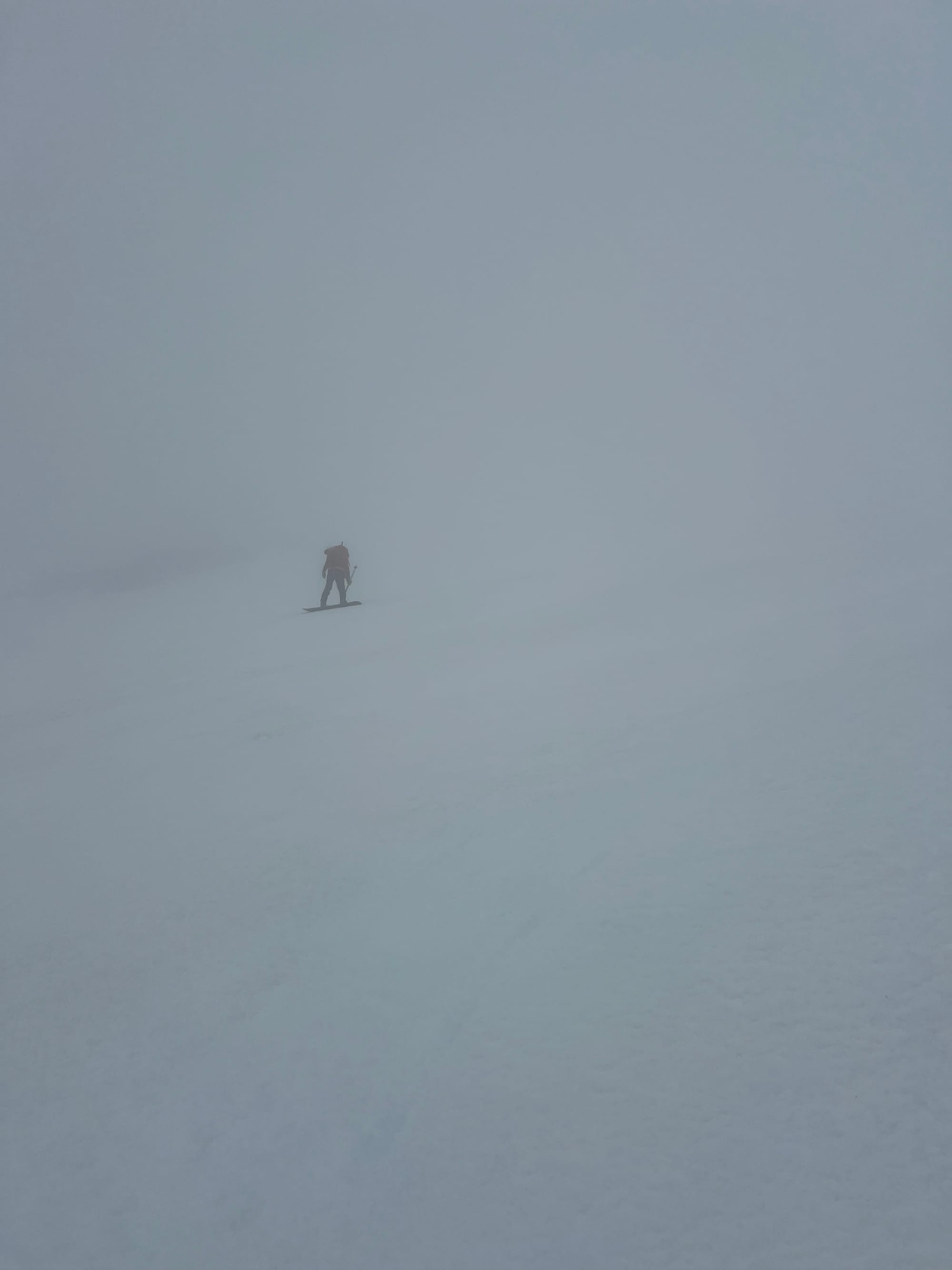
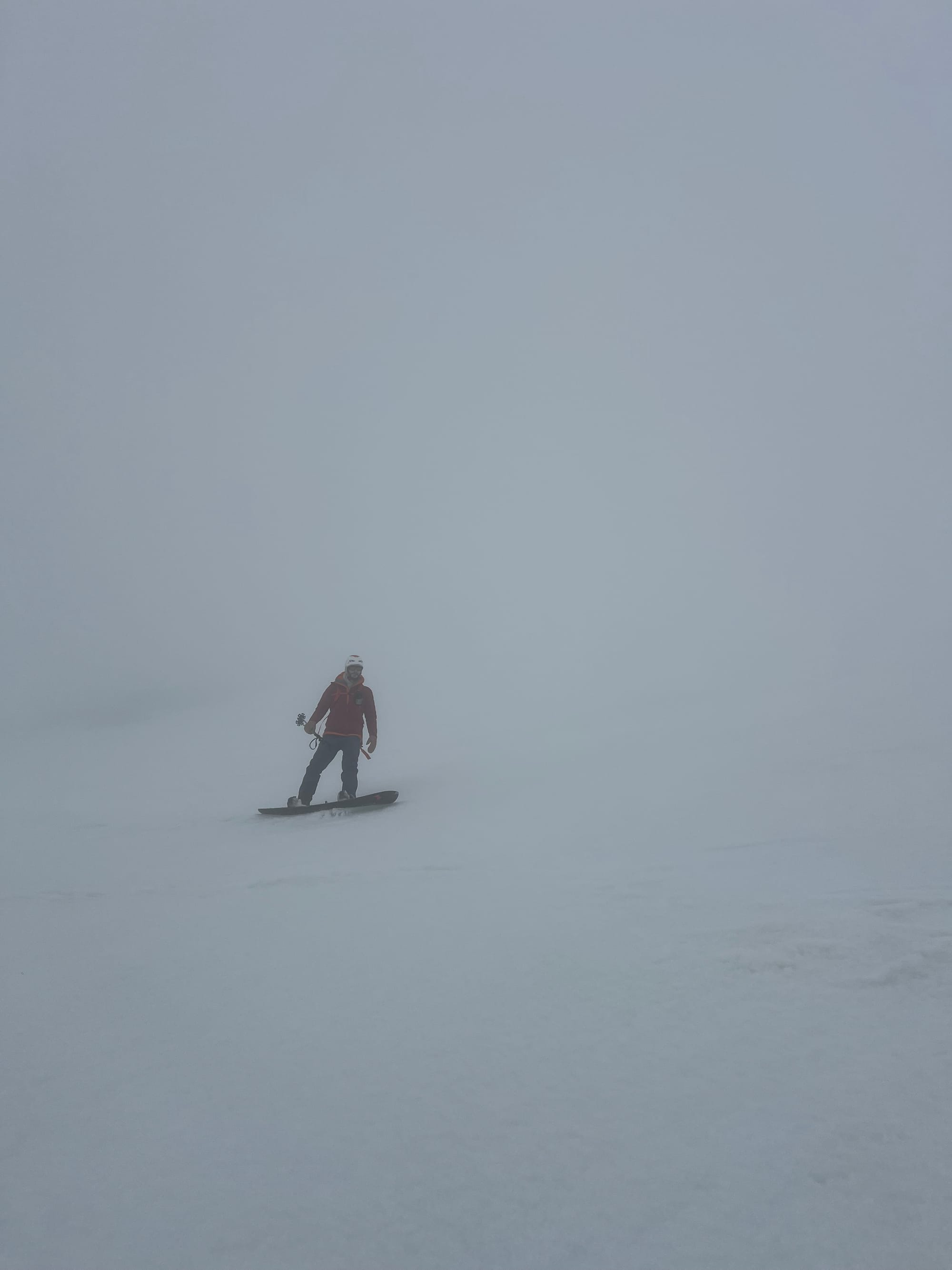
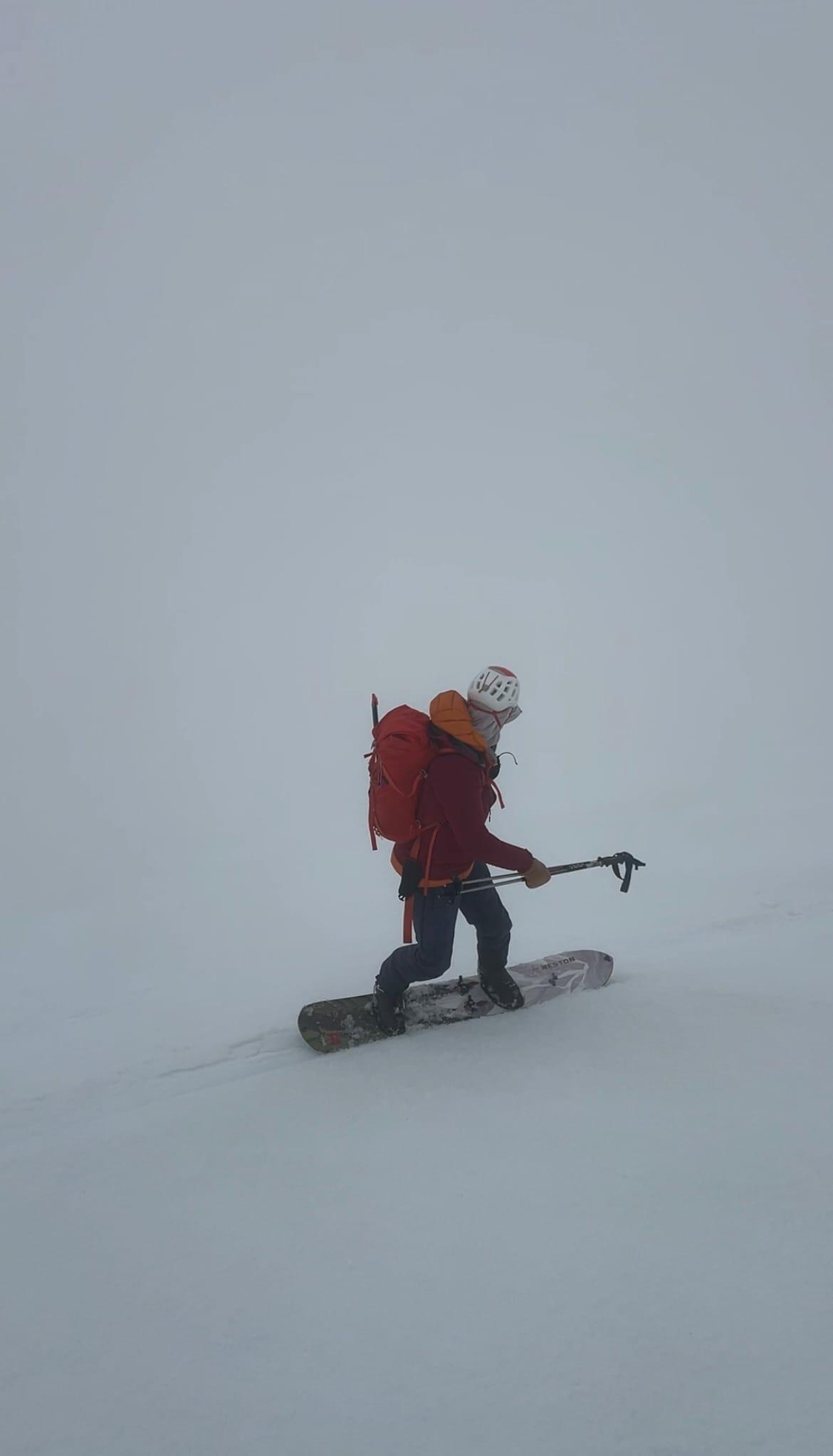
The fog was so thick and disorienting. Since we had never been down the SW Chutes before, it was a bit scary not being able to see what was coming. Luckily, the terrain felt a lot more moderate than I expected (nothing exceeded what felt like ~35 degrees). Based on reports I read online, I expected it to be steeper/scarier. I was extra nervous because I was on a completely new volcano ski setup that I only did one practice tour in— but I found the run a lot of fun!
It was firm up top (but easily edge-able) with some ice clusters. Luckily, it quickly became variable corn snow then full corn!
We found the right exit col around 7100ft and saw others skinning out but decided it didn’t look fun and we did not want to do that.
We instead skied down the drainage as far as possible, the snow getting a bit grabby by the end.
Then we put the skis back on our packs and the trailrunners back on our feet and bushwhacked through open forest to the Round The Mountain Trail. This exit was super easy and we saw a marmot!
We hiked out on the Round The Mountain Trail until we met the South Climb Trail and returned to the trailhead at 4pm.
This was such a fun day! I felt so fit and strong (thank you marathon training) and we spent a lot of the day taking in the views and enjoying the party atmosphere while waiting for snow conditions to favor skiing. But most of all it was awesome to ski ~5,000 straight feet of great snow!! The classics are classic for a reason.
WA volcano 4/5 for me! Only one (particularly large one) left…
11:05 total, 6:39 moving time
Gear:
- mountaineering pack
- film camera
- phone (with caltopo and GPS tracks)
- watch
- ski straps
- beacon
- shovel
- probe
- ski crampons
- boot crampons
- trail runners
- ski boots
- skis
- skins
- poles
- ice axe
- food
- water (no water on route)
- glacier goggles
- helmet
- puffy
- fleece
- hardshell jacket
- sunshirt
- water resistant pants
- ski socks
- extra socks
- sun gloves
- sunscreen
- hand sanitizer
- blue bag
- first aid kit
- ski repair kit
- emergency bivvy
- headlamp
- Garmin inReach
- Adams volcano pass and self-issued permit
Beta we used:
Maps:
https://www.powderproject.com/trail/7001219/mt-adams-sw-chutes
Blogs:
https://climberkyle.com/2026/05/23/mt-adams-sw-chutes/
https://www.whereiskylemiller.com/volcanoes-cascade-mountains/mount-adams-southwest-chutes-2/a mess in the cascades - SW Chutes of Mt. Adams 6.21.20
Mount Adams, SW Chutes Ski Descent
Mount Adams Southwest Chutes - World's Best Ski Descents - The Backcountry Ski Site
Mount Adams Southwest Chutes Ski Descent – On the Richter Scale: An Adventure Blog
A Dummies Guide to Skiing Mt. Adams
Mount Adams: SW Chutes Ski Descent
Vlog: